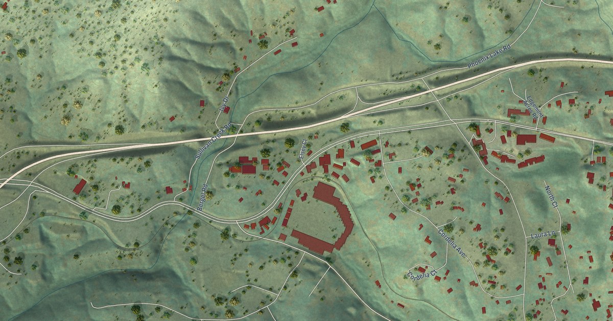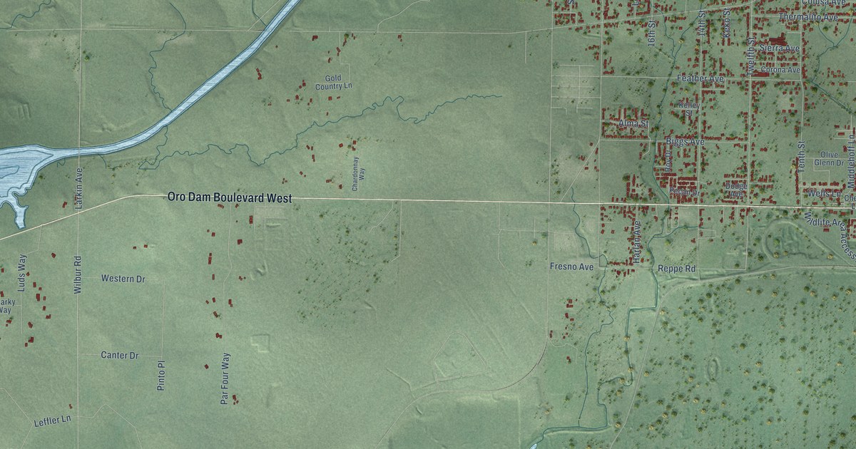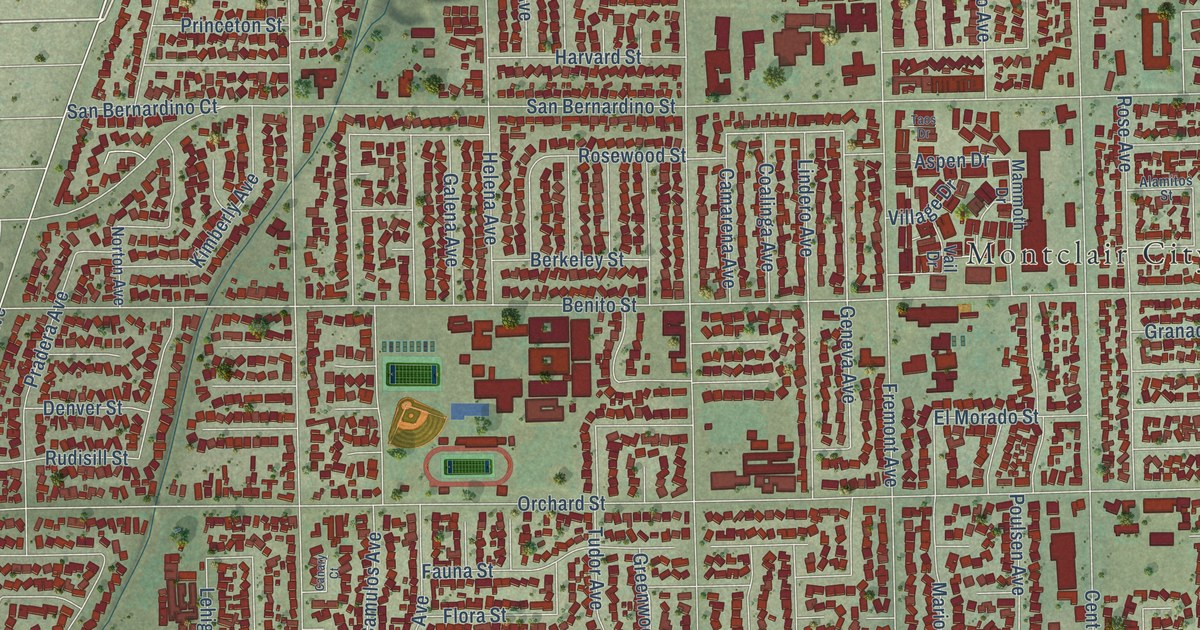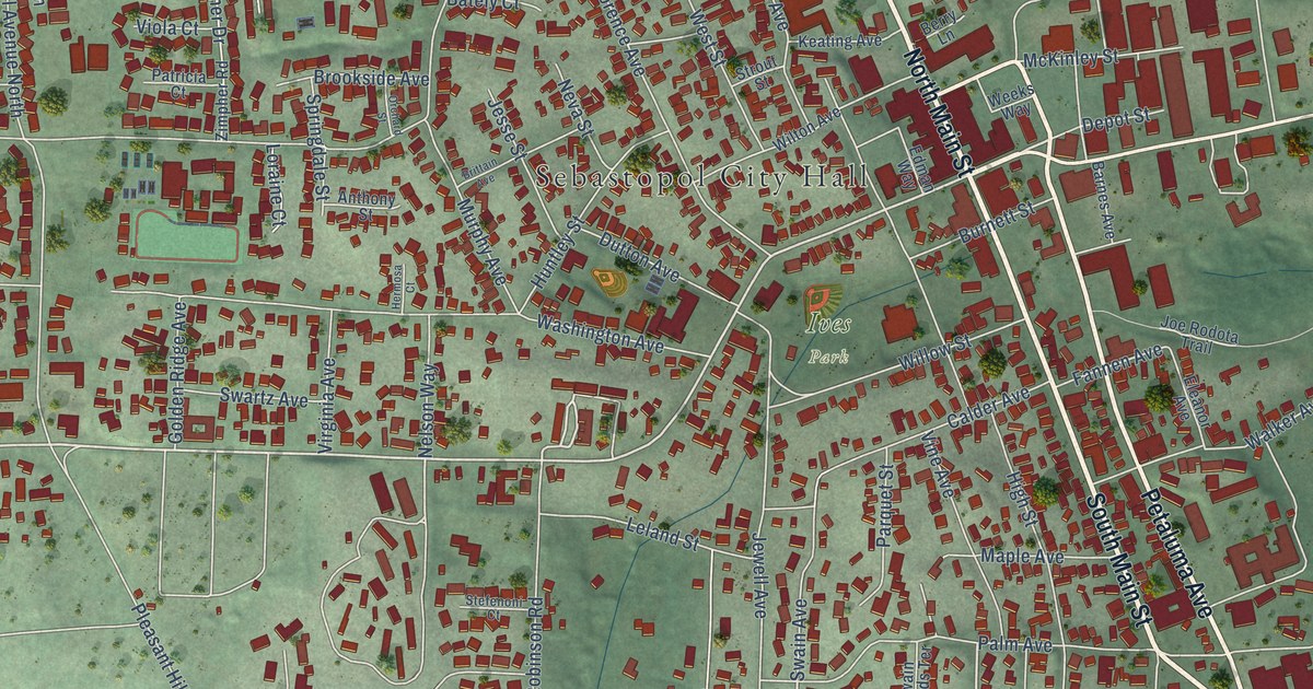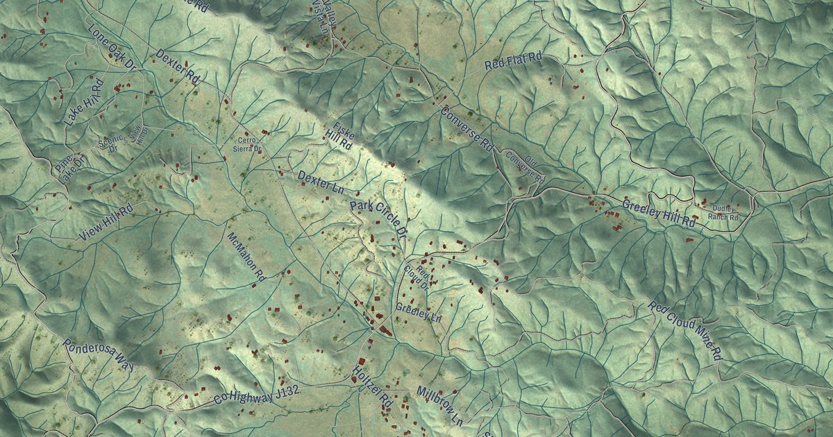
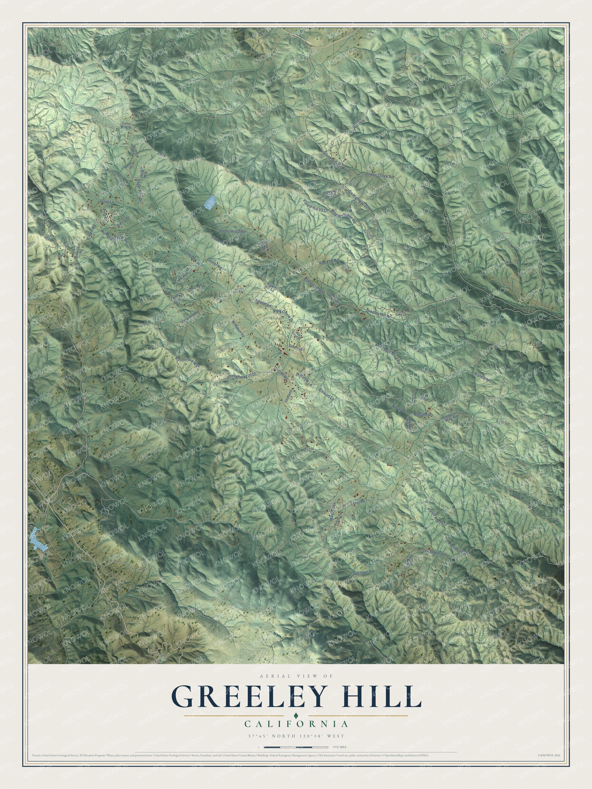
This beautifully detailed map of Greeley Hill, California was created in 2026 using aerial imagery combined with modern topographical, census, street and landmark data. It's a modern aerial view of Greeley Hill in Mariposa County, California, that combines modern data with a vintage aesthetic. The roads feature printed names, and if you look closely you can find your exact house accurately shown in its correct location.
Explore an aerial view of Greeley Hill, California
On this map you'll find Wagner Ridge Road, Cuneo Road, Sierra Drive, Mohawk Road, Road 8032, Ernst Road, Ponderosa Way, Holtzel Road, Co Highway J132, Smith Station Road, Co Highway J20, Greeley Hill Road, and more. Each red shape is a building, so zoom in on the preview and look for yours.
Here is a piece of Greeley Hill history. Greeley Hill was named for Si and Watson Greeley, cousins of the journalist Horace Greeley, who left Maine and founded the community in 1850. Si built the first sawmill and the first road up the hill from Coulterville, and Watson ran a freight line that hauled timber to the gold mines. The road Si Greeley built became known as Brake Leather Grade, because the hill was so steep that teamsters checked their leather brake shoes before starting down. That's from the Fresno Bee.
Greeley Hill is a community in Mariposa County. The Census Bureau counted 927 people here in 2020.
Take a closer look at the Greeley Hill map
Names on this map
These names are printed on this map.
Streets and roads: Wagner Ridge Road, Cuneo Road, Sierra Drive, Mohawk Road, Road 8032, Ernst Road, Ponderosa Way, Holtzel Road, Smith Station Road, County Highway J20, Greeley Hill Road, Dogtown Road.
More street names, A to Z
Bondurant, Bondurant Mine Road, Boneyard Road, Cerro Sierra Drive, Converse Road, Cumo Wagne, Dexter Lane, Dexter Road, Donkey Lane, Dudley Ranch Road, Fiske Hill Road, Fiske Road, Greeley Lane, Heron Drive, Hursh Lane, Jordan Creek Road, Lake Hill Road, Lone Oak Drive, Manzanita, McMahon Road, Millbrow Lane, Mojave Drive, Navajo Lane, Old Converse Road, Opeechee Lane, Park Circle Drive, Pine Drive, Pine Lake Drive, Piute Place, Ponderosa Way Road, Quailmine Road, Red Cloud Drive, Red Cloud Mine Road, Red Flat Road, Reiff Way, Scenic Drive, Shetland Lane, Stewart Lane, Stout Lane, Sugar Pine Drive, Suger Pine Drive, Texas Hill Road, Valley Vista Lane, Valley Vista Road, View Hill Drive, View Hill Road, Wagner Road, Wildrose Lane.
See it on a wall
The Greeley Hill map as a framed print. Swipe for more.


Created by KNOWOL in 2026. The buildings are small red shapes, the roads carry their printed names, and shaded relief shows the shape of the land. The title panel reads "AERIAL VIEW OF GREELEY HILL, CALIFORNIA" with 37°45' NORTH 120°08' WEST.
It suits a den, a classroom or a front hall, and it makes a gift for anyone with Greeley Hill roots. Open the preview and find the block you know. See sizes and frames for the Greeley Hill map.