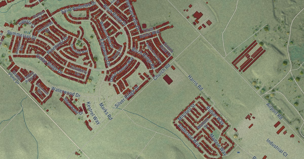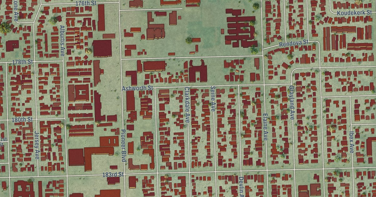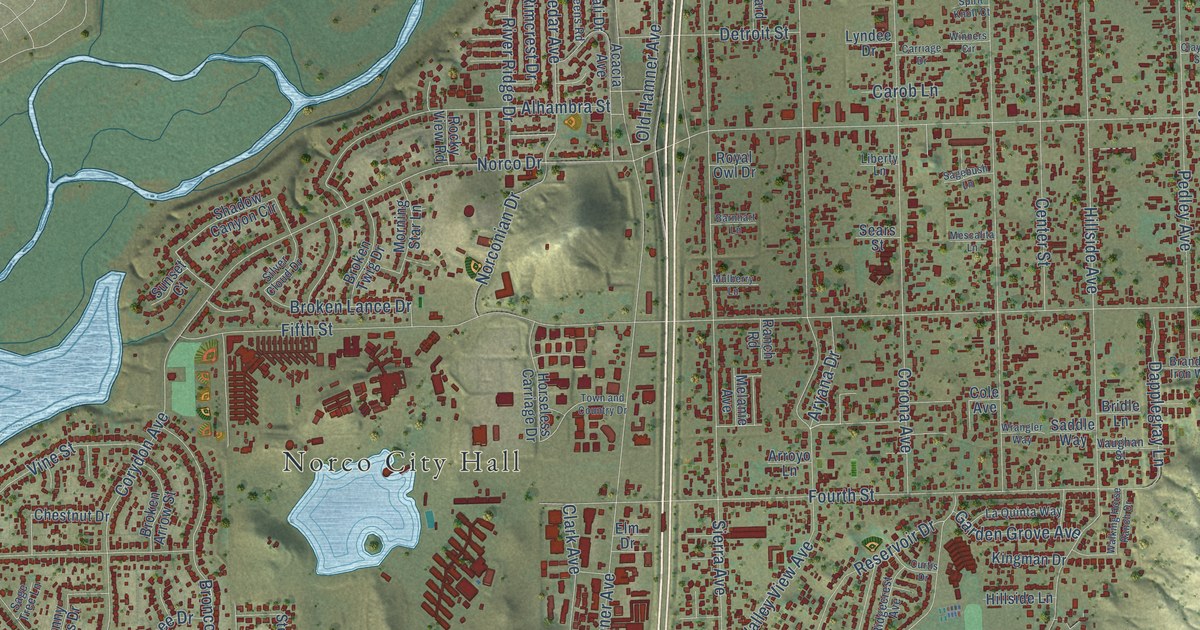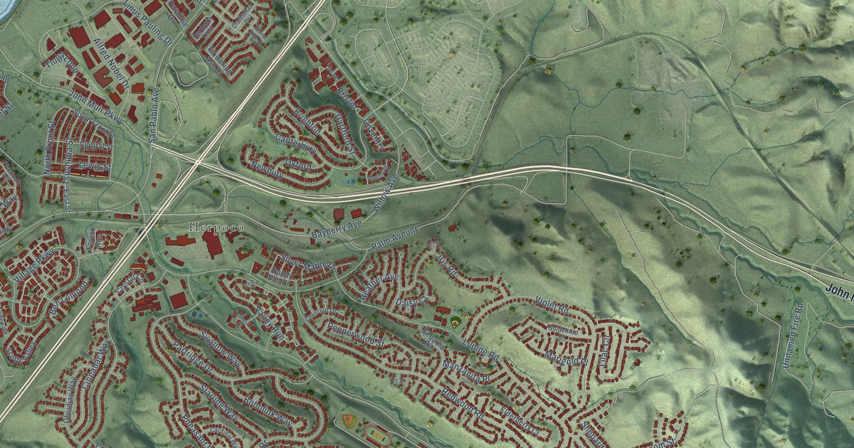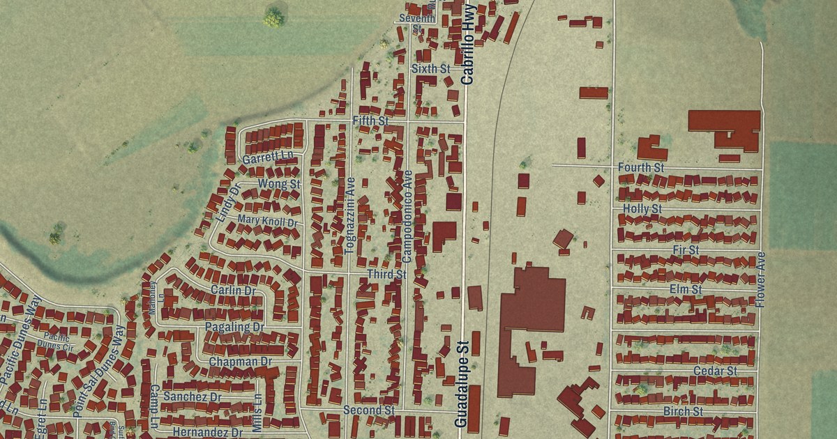
This beautifully detailed map of Guadalupe, California was created in 2026 using aerial imagery combined with modern topographical, census, street and landmark data. It's a modern aerial view of Guadalupe in Santa Barbara County, California, that combines modern data with a vintage aesthetic. The roads feature printed names, and if you look closely you can find your exact house accurately shown in its correct location.
Explore an aerial view of Guadalupe, California
On this map you'll find Guadalupe City Hall, Barsug, Guadalupe Cemetery, Le Roy Park, Cabrillo Highway, Guadalupe Street, West Main Street, Obispo Street, Pacheco Street, Point Sal Dunes Way, Tenth Street, Lindy Drive, and more. Each red shape is a building, so zoom in on the preview and look for yours.
Here is a piece of Guadalupe history, in the words of the record. The Santa Barbara County History puts it this way: "In 1875 Mr. Pezzoni settled upon the place he now occupies at Guadalupe, in Santa Barbara County, where he carries on the business of dairying on a large scale."
Guadalupe is a city in Santa Barbara County. The Census Bureau counted 8,057 people here in 2020.
Take a closer look at the Guadalupe map
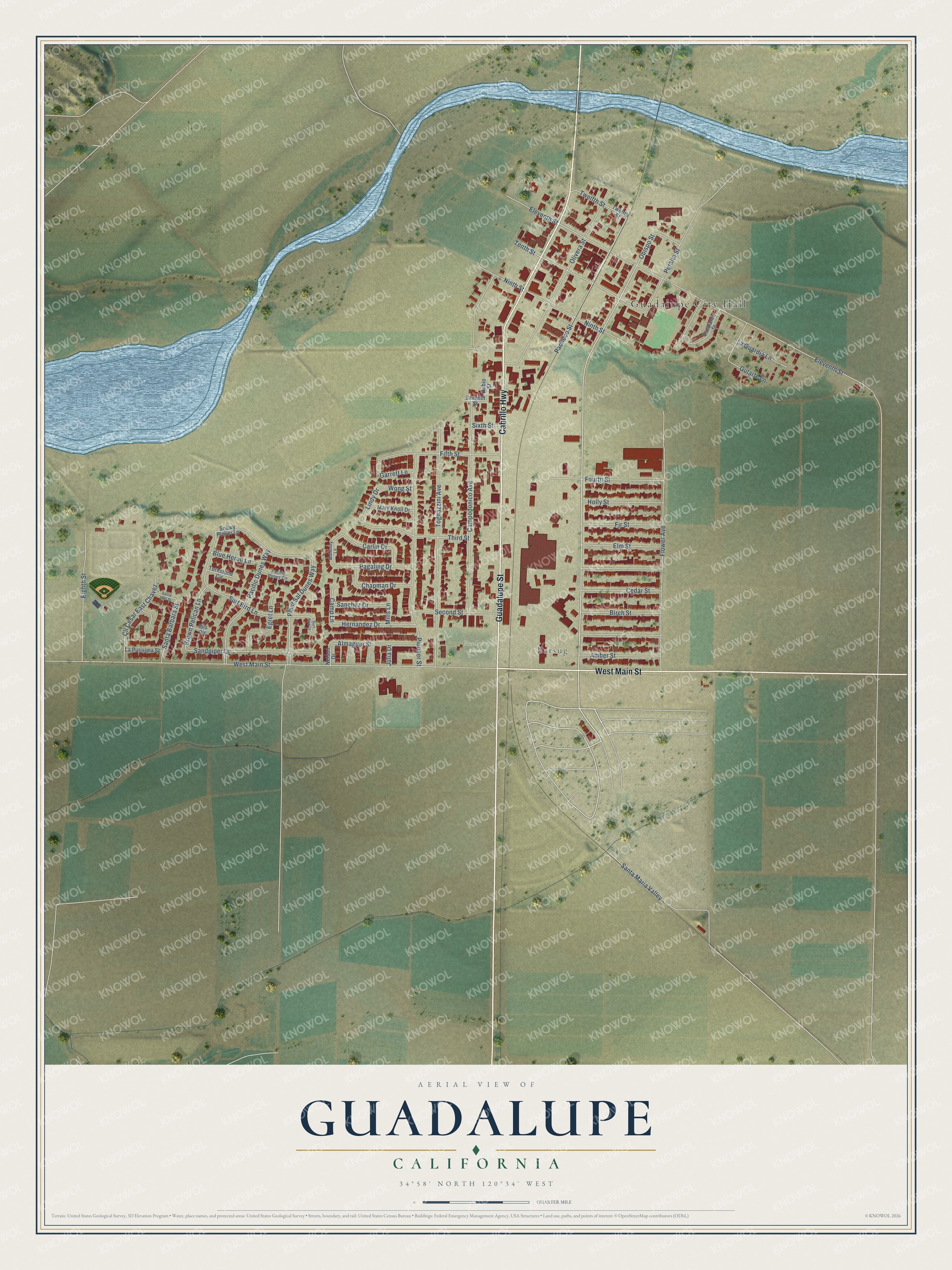
Names on this map
These names are printed on this map.
Places: Guadalupe City Hall, Barsug, Guadalupe Cemetery and Le Roy Park.
Streets and roads: Cabrillo Highway, Guadalupe Street, West Main Street, Obispo Street, Pacheco Street, Point Sal Dunes Way, Tenth Street, Lindy Drive, Eleventh Street, Pioneer Street, Flower Avenue, Tognazzini Avenue.
More street names, A to Z
Almaguer Street, Amber Street, Birch Street, Blue Heron Lane, Brown Pelican Lane, Camp Lane, Campodonico Avenue, Carlin Drive, Cedar Street, Chapman Drive, Cll Cesar East Chavez, Egret Lane, Eighth Street, Elm Street, Escalante Street, Fifth Street, Fir Street, Fourth Street, Garrett Lane, Gularte Lane, Hernandez Drive, Holly Street, Ibis Circle, Julia Drive, La Guardia Lane, La Purisima Street, Mahoney Lane, Mary Knoll Drive, Mills Lane, Nelson Drive, Ninth Street, Olivera Street, Pacific Dunes Circle, Pacific Dunes Way, Pagaling Drive, Peralta Street, Rubio Street, Sanchez Drive, Sandpiper Lane, Santa Barbara Street, Santa Ines Street, Santa Maria Valley, Second Street, Seventh Street, Sixth Street, Snowy Plover Lane, Surf Bird Court, Surf Bird Lane, Third Street, Turnstone Circle, Twelfth Street, Wong Street.
Created by KNOWOL in 2026. The buildings are small red shapes, the roads carry their printed names, and shaded relief shows the shape of the land. The title panel reads "AERIAL VIEW OF GUADALUPE CALIFORNIA" with 34°58' NORTH 120°34' WEST.
It suits a den, a classroom or a front hall, and it makes a gift for anyone with Guadalupe roots. Open the preview and find the block you know. See sizes and frames for the Guadalupe map.