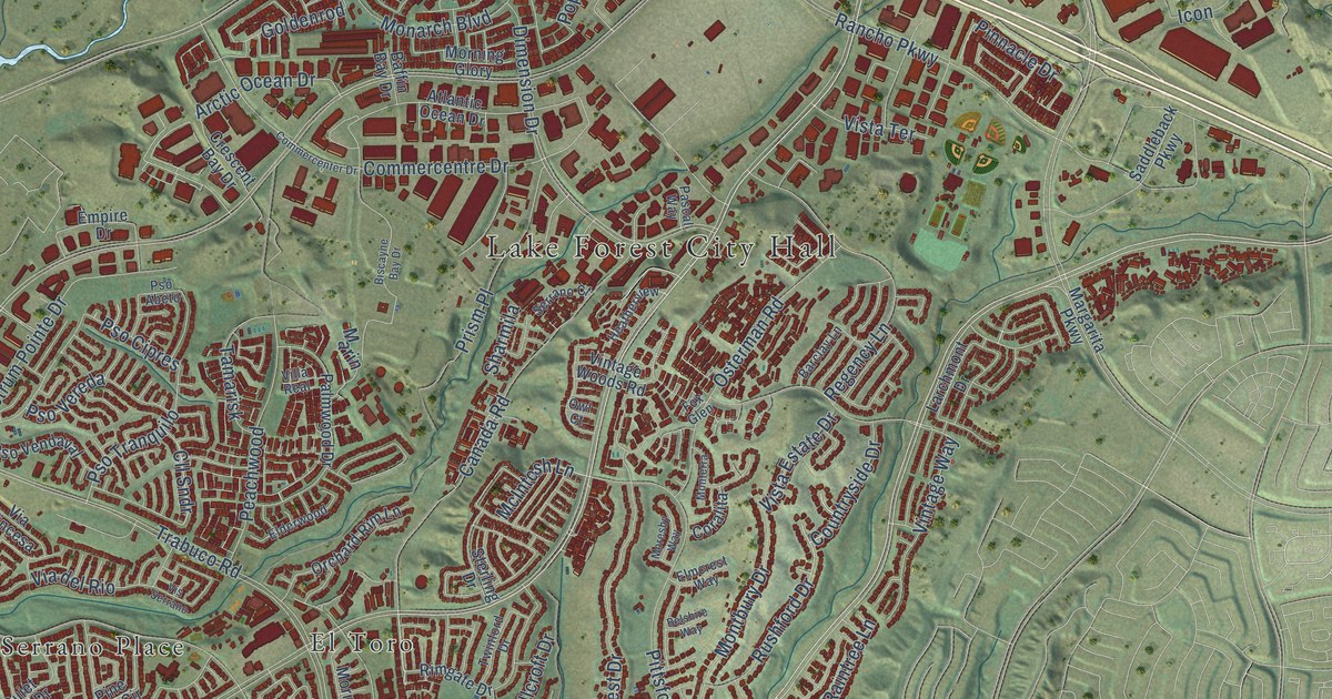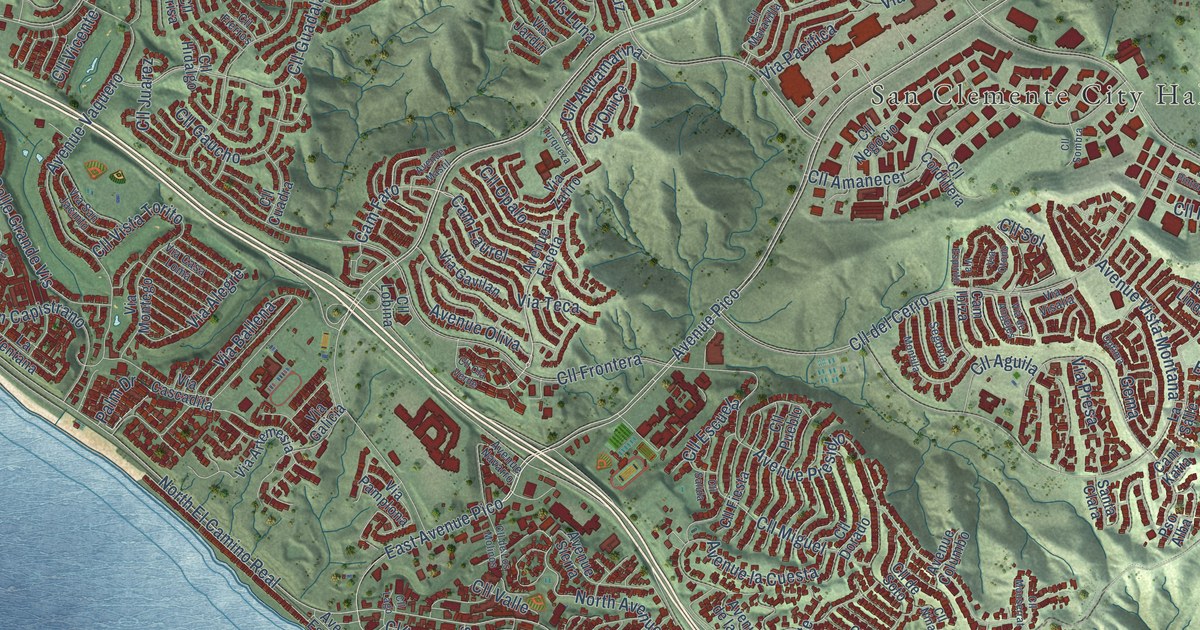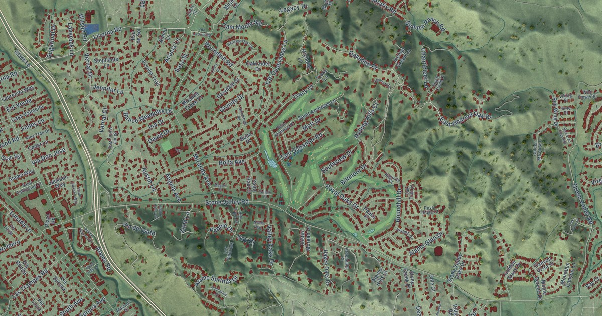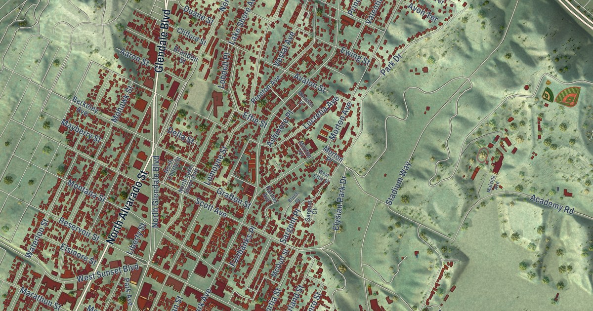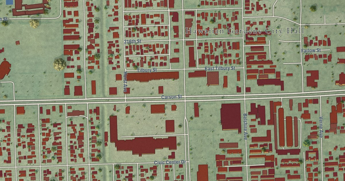
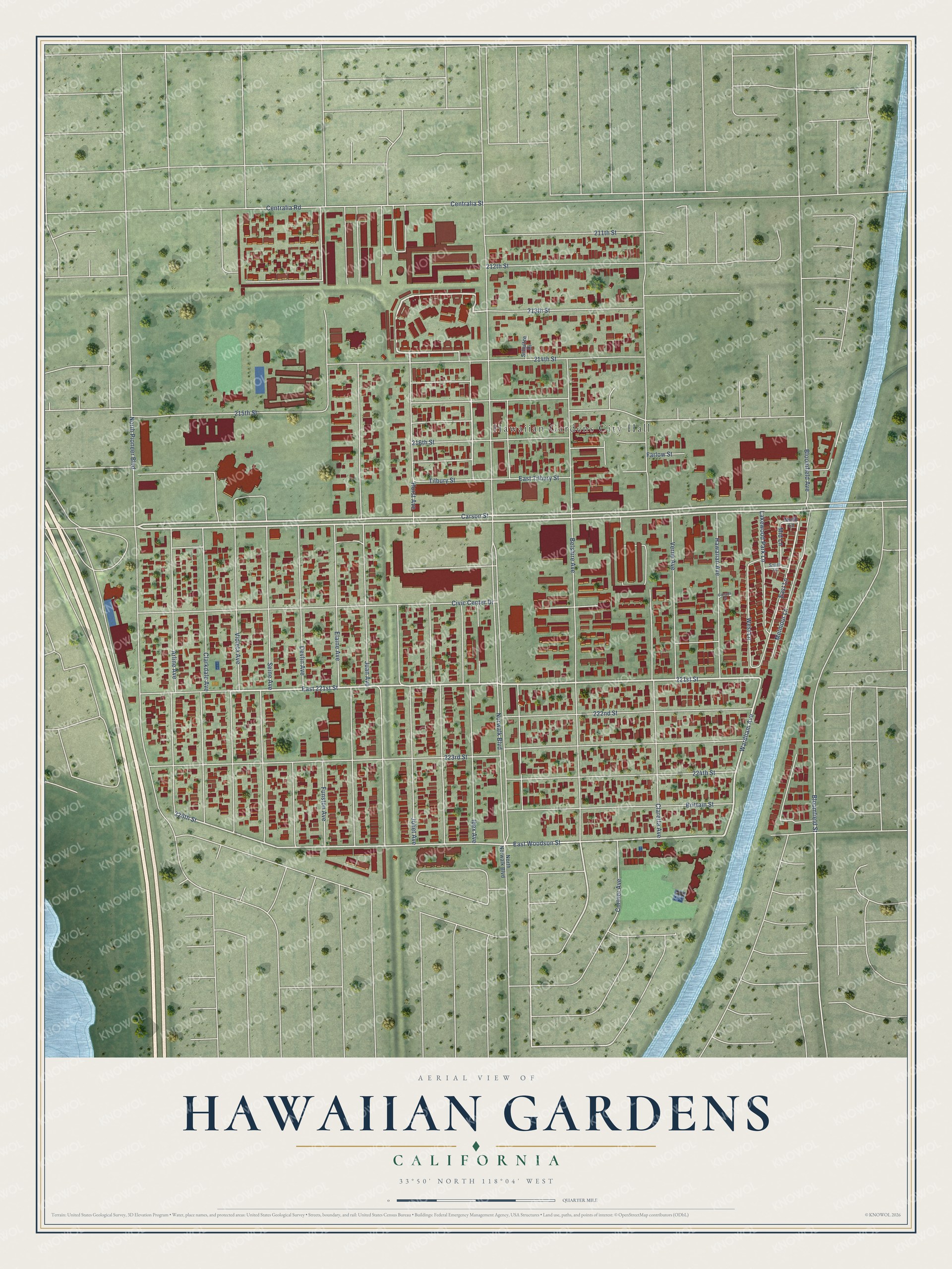
This beautifully detailed map of Hawaiian Gardens, California was created in 2026 using aerial imagery combined with modern topographical, census, street and landmark data. It's a modern aerial view of Hawaiian Gardens in Los Angeles County, California, that combines modern data with a vintage aesthetic. The roads feature printed names, and if you look closely you can find your exact house accurately shown in its correct location.
Explore an aerial view of Hawaiian Gardens, California
On this map you'll find Hawaiian Gardens City Hall, Carson Street, 221st Street, East 221st Street, Wardham Avenue, East Lane, 226th Street, East Woodson Street, Mid Lane, Bloomfield Street, Norwalk Boulevard, 223rd Street, and more. Each red shape is a building, so zoom in on the preview and look for yours.
Hawaiian Gardens is a city in Los Angeles County. The Census Bureau counted 14,149 people here in 2020. The map prints the town name in its title panel, with the coordinates below it.
Take a closer look at the Hawaiian Gardens map
Names on this map
These names are printed on this map.
Places: Hawaiian Gardens City Hall.
Streets and roads: Carson Street, 221st Street, East 221st Street, Wardham Avenue, East Lane, 226th Street, East Woodson Street, Mid Lane, Bloomfield Street, Norwalk Boulevard, 223rd Street, Juan Avenue.
More street names, A to Z
211th Street, 212th Street, 213th Street, 214th Street, 215th Street, 216th Street, 222nd Street, 224th Street, Arline Avenue, Belshire Avenue, Bloomfield Avenue, Brittain Street, Canada Street, Centralia Road, Centralia Street, Civic Center Drive, Claretta Avenue, Clarkdale Avenue, Cortner Avenue, Devlin Avenue, East Tilbury Street, Elaine Avenue, Farlow Street, Funston Avenue, Hawaiian Avenue, Horst Avenue, Ibex Avenue, Joliet Avenue, Lakewood Park Lane, Melmour Lane, North Lane, North Norwalk Boulevard, North Pioneer Boulevard, Schultze Drive, Seine Avenue, South Lane, Tilbury Street, Verne Avenue, Violeta Avenue, West Lane.
Created by KNOWOL in 2026. The buildings are small red shapes, the roads carry their printed names, and shaded relief shows the shape of the land. The title panel reads "AERIAL VIEW OF HAWAIIAN GARDENS CALIFORNIA" with 33°50' NORTH 118°04' WEST.
Hang it in the hallway, the office or the cabin, or give it to someone who left Hawaiian Gardens and still calls it home. Open the preview and look for a street you know. See sizes and frames for the Hawaiian Gardens map.