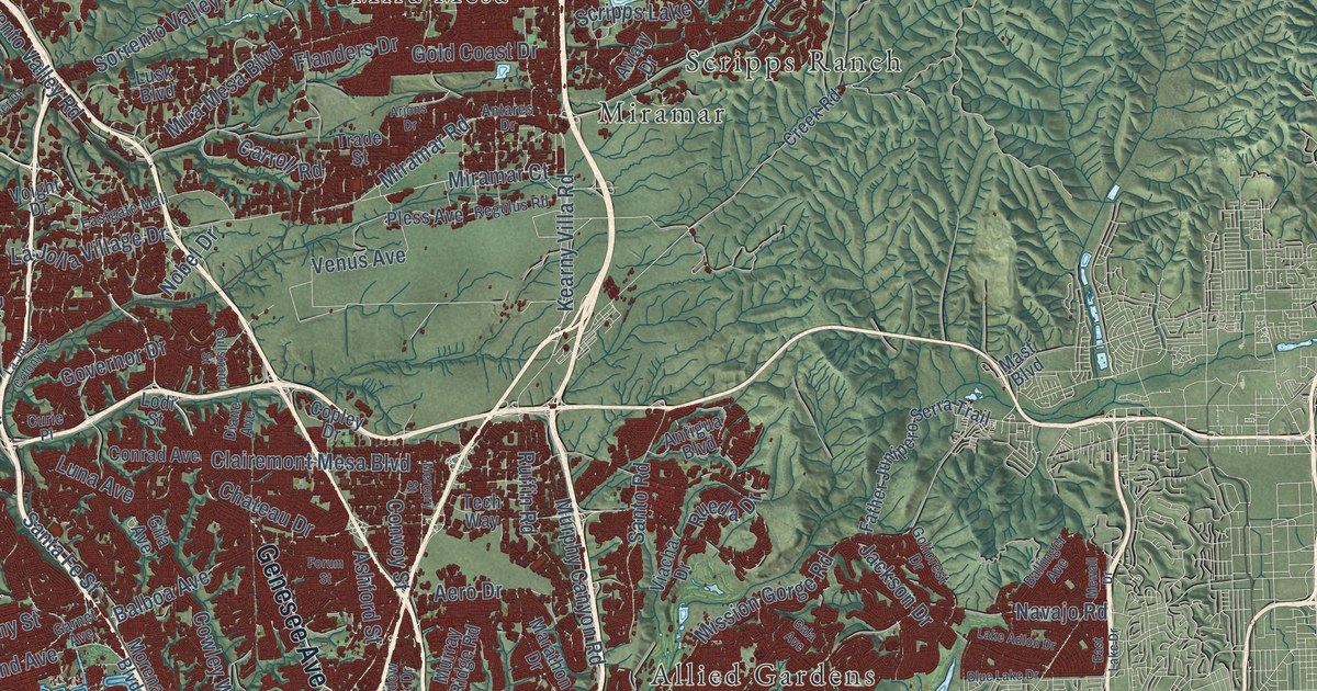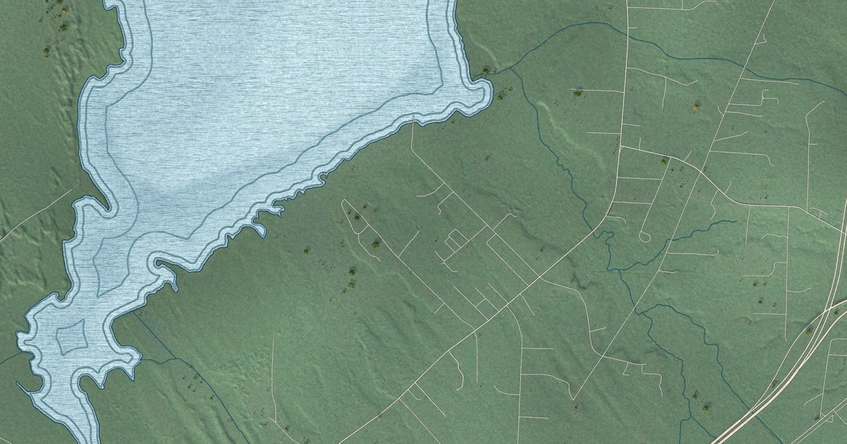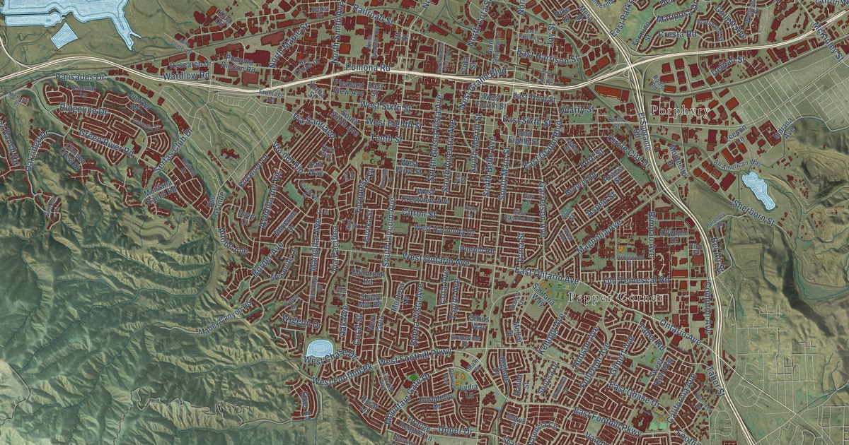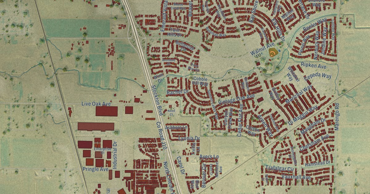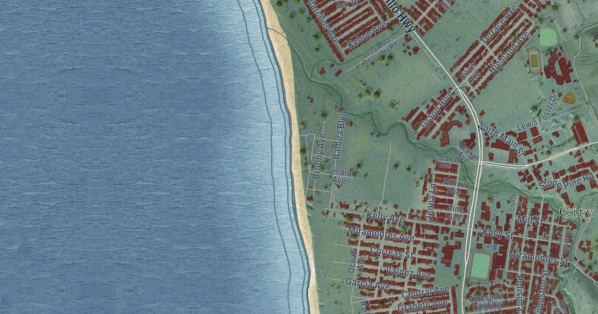
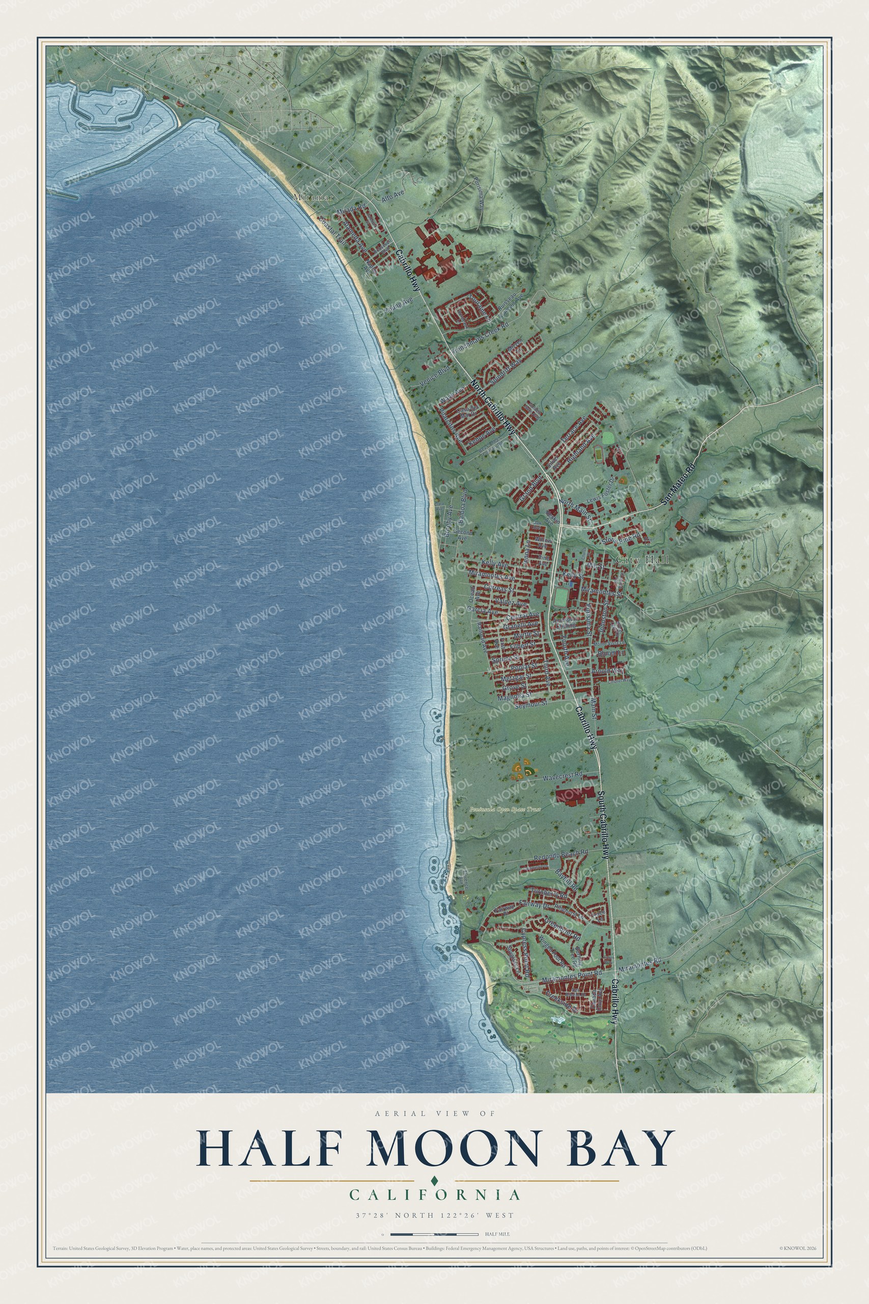
This beautifully detailed map of Half Moon Bay, California was created in 2026 using aerial imagery combined with modern topographical, census, street and landmark data. It's a modern aerial view of Half Moon Bay in San Mateo County, California, that combines modern data with a vintage aesthetic. The roads feature printed names, and if you look closely you can find your exact house accurately shown in its correct location.
Explore an aerial view of Half Moon Bay, California
On this map you'll find City Hall, Miramar, Peninsula Open Space Trust, North Cabrillo Highway, Cabrillo Highway, South Cabrillo Highway, San Mateo Road, Miramontes Point Road, Miramontes Road, Highland Avenue, Coastal Trail, Central Avenue, and more. Each red shape is a building, so zoom in on the preview and look for yours.
Every town has a first chapter, and Half Moon Bay is no exception. The National Register of Historic Places puts it this way: "McKay, builder
The Methodist Episcopal Church at Half Moon Bay built during the summer
of 1872 is an outstanding example of a vernacular adaptation of Gothic
Revival style."
Half Moon Bay is a city in San Mateo County. The Census Bureau counted 11,795 people here in 2020.
Take a closer look at the Half Moon Bay map
Names on this map
These names are printed on this map.
Places: City Hall, Miramar and Peninsula Open Space Trust.
Streets and roads: North Cabrillo Highway, Cabrillo Highway, South Cabrillo Highway, San Mateo Road, Miramontes Point Road, Miramontes Road, Highland Avenue, Coastal Trail, Central Avenue, North Main Street, Mirada Road, Miramontes Street.
More street names, A to Z
Alameda Avenue, Alto Avenue, Amesport Landing, Arnold Way, Arroyo Leon Drive, Balboa Boulevard, Bayhill Road, Bev Cunha's Country Road, Bloom Lane, Bordeaux Lane, Brophy Avenue, Burning Tree Road, Canada Cove Avenue, Carnoustie Drive, Casa del Mar Drive, Church Street, Clara Avenue, Colonel Way, Correas Street, Creekside Drive, Cypress Point Road, Erin Lane, Fairway Drive, Fairway Place, Filbert Street, First Avenue, Florence Avenue, Fourth Avenue, Frenchmans Creek Road, Garcia Avenue, Golden Gate Avenue, Grand Boulevard, Granelli Avenue, Greenbrier Road, Grove Street, Heskin Avenue, Jenna Lane, Johnston Street, Kehoe Avenue, Kelly Avenue, Kelly Street, Lewis Foster Drive, Magnolia Street, Main Street, Metzgar Street, Mill Street, Miramontes Avenue, Mizzen Lane, Monte Vista Lane, Myrtle Street, Naples Avenue, Oak Avenue, Ocean Avenue, Pilarcitos Avenue, Pine Avenue, Pinehurst Lane, Poplar Street, Purisima Street, Purisima Way, Railroad Avenue, Redondo Beach Road, Roosevelt Boulevard, Ruisseau Francais Avenue, San Benito Street, Sea Breeze Drive, Second Avenue, Seymour Street, Silver Avenue, Spindrift Way, Spruce Street, Spyglass Lane, Stone Pine Road, Terrace Avenue, Third Avenue, Touraine Lane, Trace Lane, Troon Way, Turnberry Road, Valdez Avenue, Valencia Street, Venice Boulevard, Wave Avenue, Wavecrest Road, Willow Avenue, Winged Foot Road, Young Avenue.
Created by KNOWOL in 2026. The buildings are small red shapes, the roads carry their printed names, and shaded relief shows the shape of the land. The title panel reads "AERIAL VIEW OF HALF MOON BAY CALIFORNIA" with 37°28' NORTH 122°26' WEST.
Hang it in the hallway, the office or the cabin, or give it to someone who left Half Moon Bay and still calls it home. Open the preview and look for a street you know. See sizes and frames for the Half Moon Bay map.