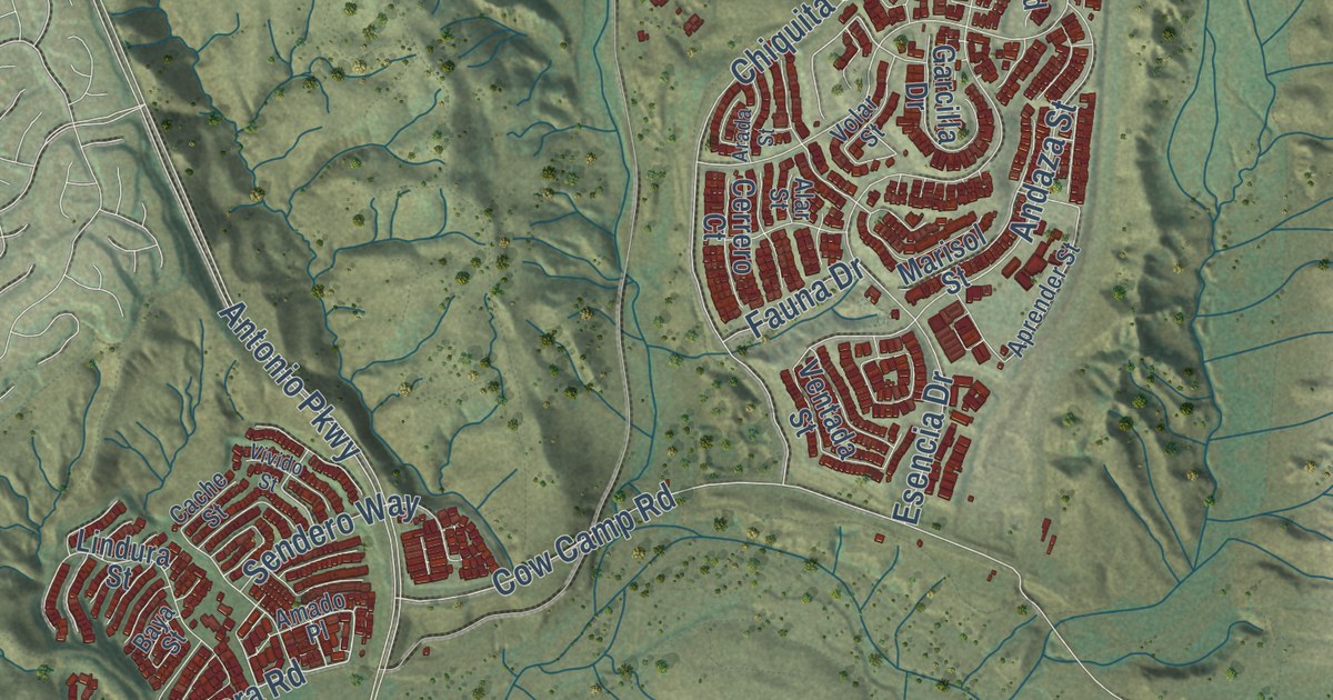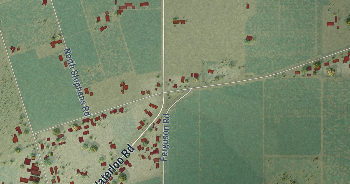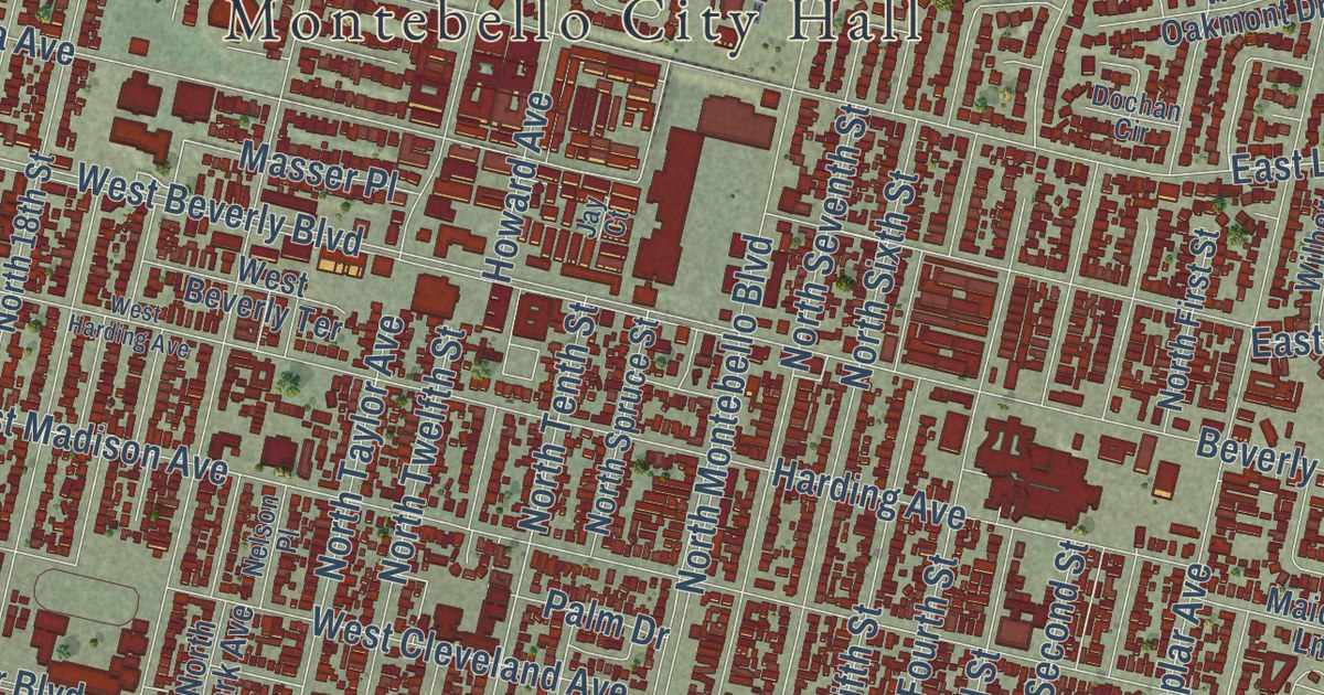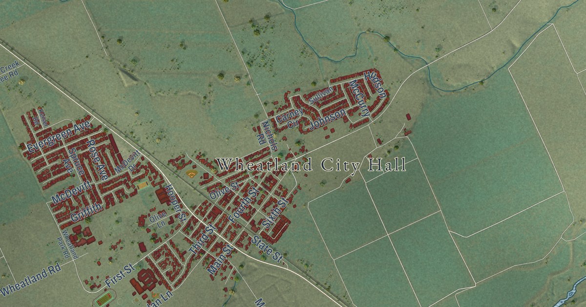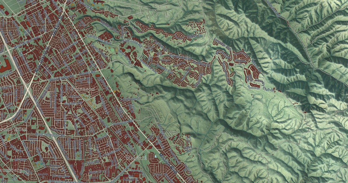
This beautifully detailed map of Hayward, California was created in 2026 using aerial imagery combined with modern topographical, census, street and landmark data. It’s a one-of-a-kind view of Hayward that combines accurate data with a vintage aesthetic. The map shows every building in its true location, many of the roads carry their names, and the shaded topographic relief shows the shape of the land.
Explore an aerial view of Hayward, California
On the map you’ll find Hayward City Hall, Baumberg, Carpenter, Halvern, Mount Eden, Russell City, and Sorenson, along with Mission Boulevard, Foothill Boulevard, Jackson Street, West Winton Avenue, Hayward Boulevard, and more. If you look closely you can even find your house accurately drawn in its correct location. Zoom in on the preview to look for yours.
Did you know this piece of Hayward, California history?
From the National Register of Historic Places: "The community was initially settled and gained its name when William Hayward built a hotel, called Hayward's Hotel in 1852."
Take a closer look at the Hayward map
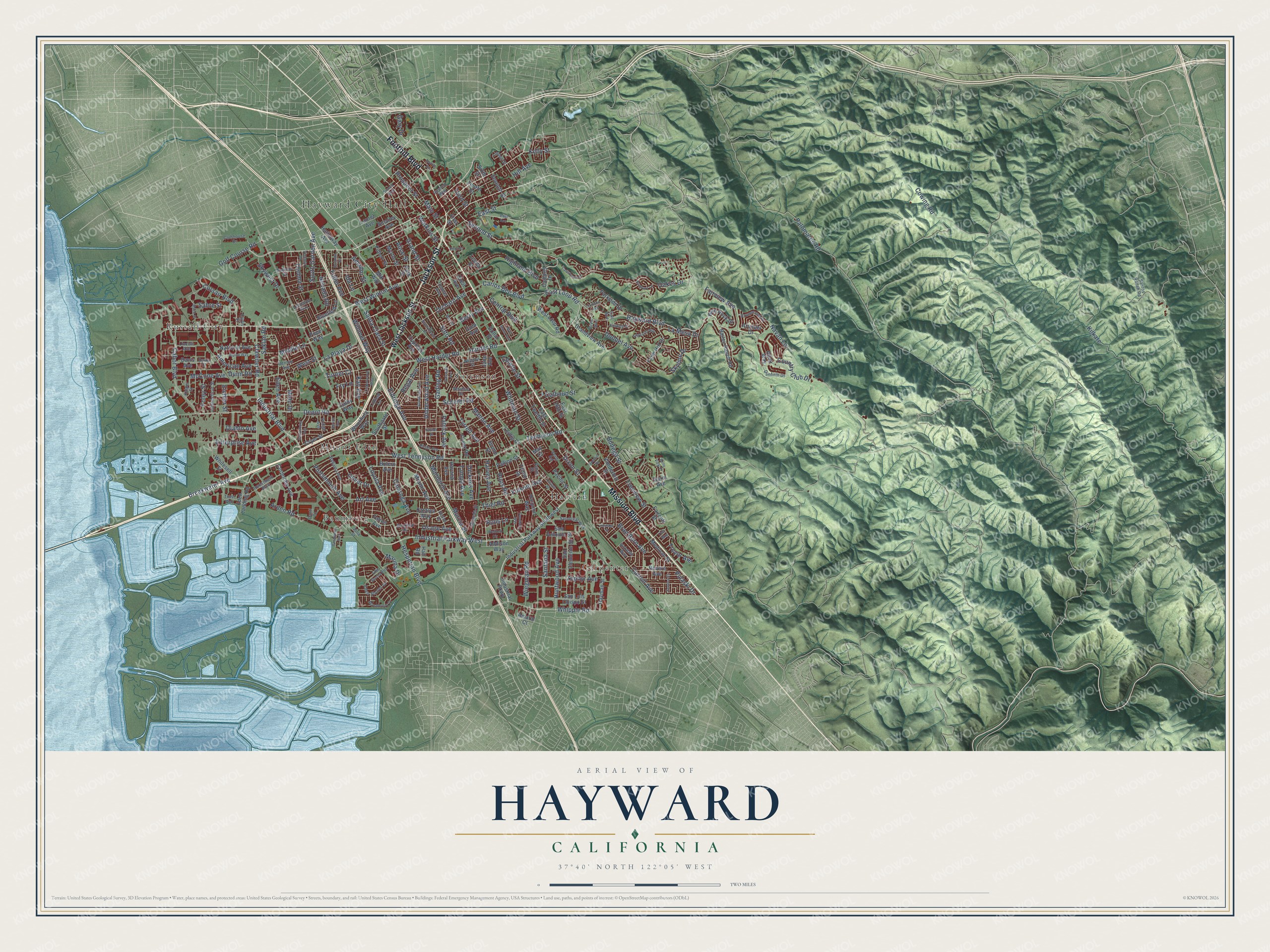
Street and place names on the Hayward, California map
These names are printed on the map of Hayward, California.
Places: Hayward City Hall, Baumberg, Carpenter, Halvern, Mount Eden, Russell City and Sorenson.
Streets and roads: Mission Boulevard, Foothill Boulevard, Jackson Street, West Winton Avenue, Hayward Boulevard, Industrial Boulevard, Industrial Parkway West, Ruus Road, Ruus Lane, Clawiter Road, Amador Street, Skyline Drive.
More street names, A to Z
Adair Way, Addison Way, Adrian Avenue, Alice Street, Alpine Way, Amaral Court, American Avenue, Arden Road, Arf Avenue, Arundel Drive, Bahama Avenue, Bailey Ranch Road, Barn Rock Drive, Baumberg Avenue, Bello View Place, Berry Avenue, Birkdale Way, Bluefield Lane, Bodega Street, Bolero Avenue, Bourbon Drive, Brae Burn Avenue, Breakwater Avenue, Bruno Street, Bryn Mawr Avenue, Cabot Boulevard, Calaroga Avenue, Calhoun Street, Call Avenue, Campus Drive, Carisbrook Court, Carlos Bee Boulevard, Carroll Avenue, Catalpa Way, Cathy Way, Central Boulevard, Civic Avenue, Clubhouse Drive, Coleman Avenue, Colette Street, Connecticut Street, Corporate Avenue, Corsair Boulevard, Country Club Drive, Cowing Road, Creek Road, Cryer Street, Culp Avenue, Curtis Street, Cypress Avenue, Danti Court, Davis Avenue, Davis Court, Denton Avenue, Depot Road, Diablo Avenue, Dickens Avenue, Dixon Street, Dobbel Avenue, Dodge Avenue, Dollar Street, Drummond Drive, Dunfirth Drive, Dunn Road, East 16th Street, East Avenue, East Loop Road, East Street, East Twelfth Street, Eden Avenue, Eden Landing Road, Eden Shores Boulevard, Eden Shores Drive, Edgecliff Way, Eichler Street, Eldridge Avenue, Enterprise Avenue, Faircliff Street, Fairview Avenue, Farm Hill Drive, Fielding Drive, Filbert Street, First Street, Fletcher Lane, Foley Street, Folsom Avenue, Fourth Street, Fry Lane, Fuller Avenue, Gading Road, Garin Avenue, Gary Drive, Gettysburg Avenue, Golf Course Road, Gomer Street, Grand Street, Grandview Avenue, Hall Road, Harder Road, Harpoon Way, Harvey Avenue, Hathaway Avenue, Havana Avenue, Hayman Street, Hesperian Boulevard, Hesse Drive, Highland Boulevard, Hill Avenue, Hoylake Street, Huntwood Avenue, Ida Lane, Industrial Parkway, Industrial Parkway Southwest, Investment Boulevard, Jane Avenue, Julia Street, Kay Avenue, Kelly Street, Kidder Street, Kilkare, La Mesa Drive, La Playa Drive, Lassen Street, Laurel Avenue, Leidig Court, Leona Drive, Leonardo Way, Lincoln Avenue, Linden Street, Lindenwood Way, Linfield Lane, Loyola Avenue, Mack Street, Main Street, Mandarin Avenue, Manon Avenue, Marina Drive, Marshbrook Drive, May Court, McCone Avenue, Medinah Street, Miami Avenue, Middle Lane, Miranda Street, Mlk Way, Mohr Drive, Muir Street, Murcia Street, Myrtle Street, National Avenue, Navan Lane, Nevada Road, Newhall Street, Newton Street, Oakes Drive, Oliver Drive, Oneil Avenue, Orchard Avenue, Osage Avenue, Overhill Drive, Pacific Street, Palomares Road, Panjon Street, Parkside Drive, Park Street, Patrick Avenue, Pope Way, Portsmouth Avenue, Prospect Street, Pulaski Drive, Regal Avenue, Revere Avenue, Rieger Avenue, Roxbury Lane, Russell Way, Sabre Street, Saklan Road, San Antonio Street, San Clemente Street, Sandburg Way, Sandoval Way, San Luis Obispo Street, Santa Clara Street, Santana Street, Santos Ranch Road, Schafer Road, Second Street, Seneca Street, Seventh Street, Sevilla Road, Silverthorne Place, Sixth Street, Skywest Drive, Smalley Avenue, Sonoma Street, Soto Road, South Garden Avenue, Southgate Street, Stanwood Avenue, Sueirro Street, Sunset Boulevard, Tahoe Avenue, Tampa Avenue, Tennyson Road, Thelma Street, Thiel Road, Third Street, Thomas Avenue, Tina Way, Treeview Street, Trevor Avenue, Tribune Avenue, Triton Street, Trust Way, Turner Court, Tyrrell Avenue, Underwood Avenue, Vanderbilt Street, Venus Street, Verdi Road, Victory Drive, Watkins Street, Wauchula Way, Welford Circle, West Harder Road, West Jackson Street, West Loop Road, West Street, West Tennyson Road, Whipple Road, Whitesell Street, Whitman Street, Wiegman Road, Willimet Way, Zephyr Avenue.
See the Hayward, California map on a wall
The Hayward map as an 18 x 24 inch print in a black frame.

This beautifully detailed map of Hayward makes an attractive addition to your office, library, or den, and it can even be used to teach children the geography and history of the area. It also makes a great gift for anyone with Hayward roots. When you’re done exploring, click here to get your copy of the Hayward map.