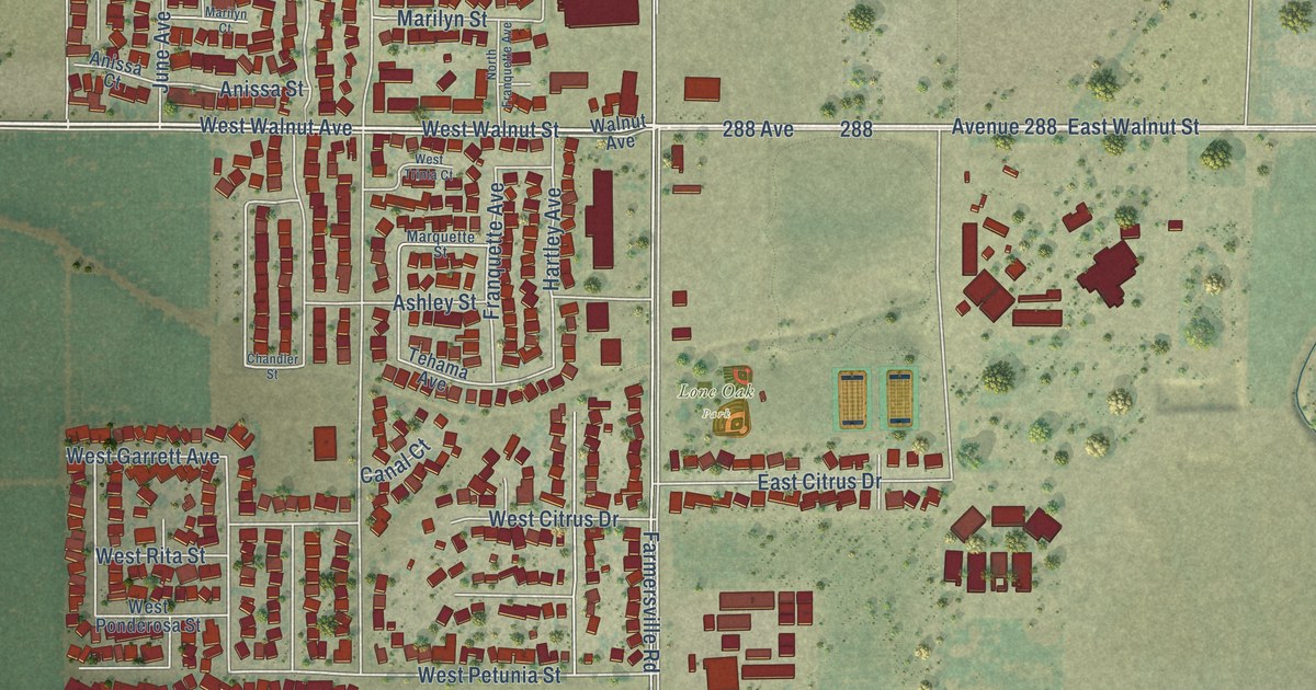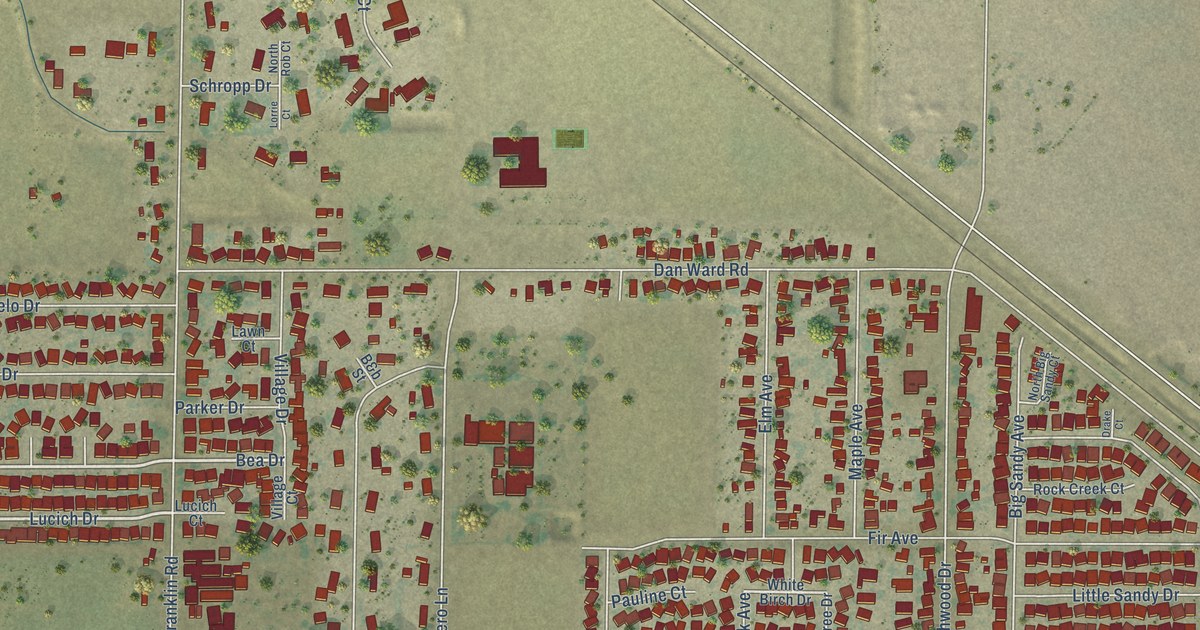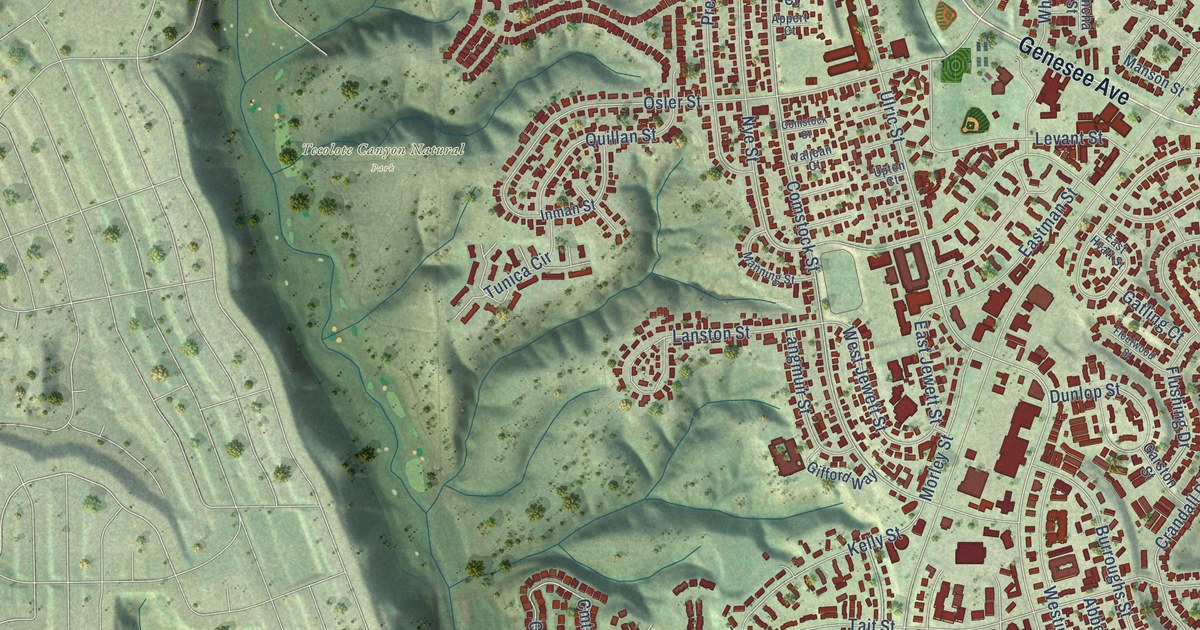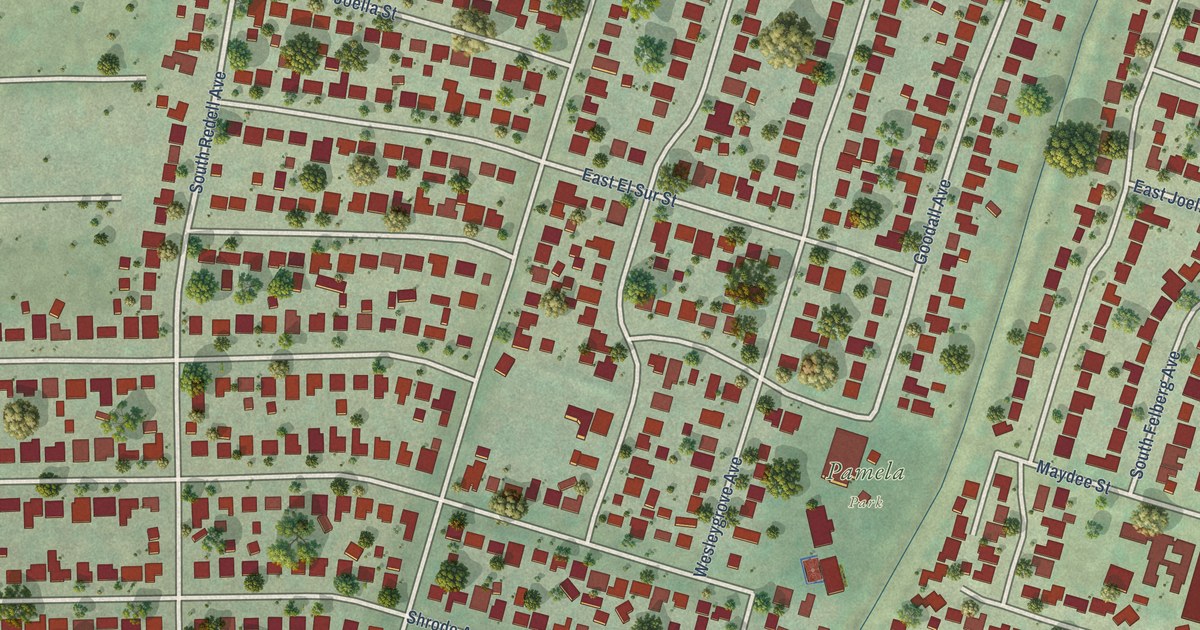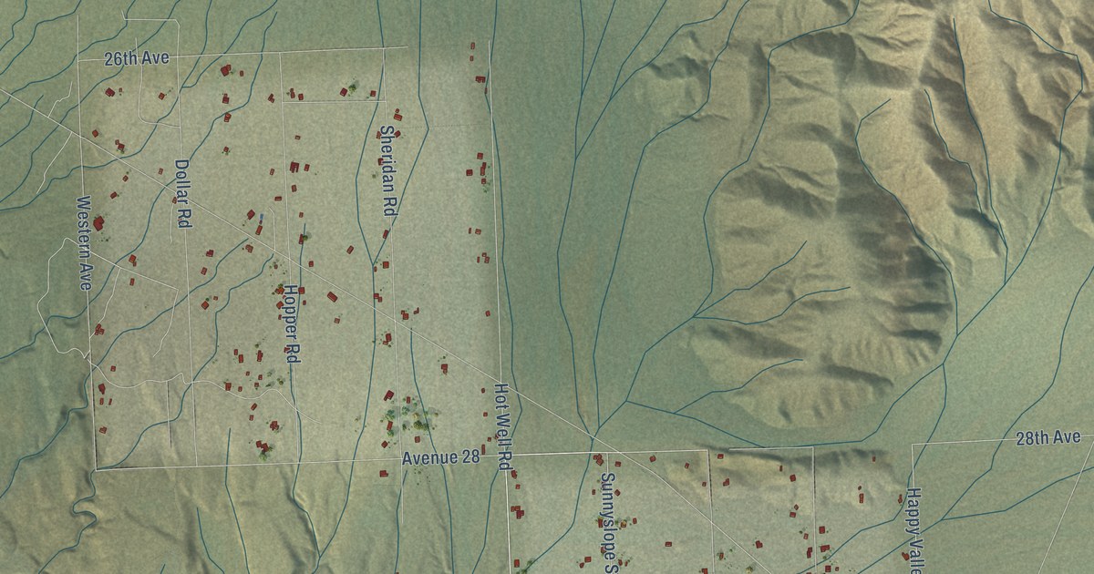
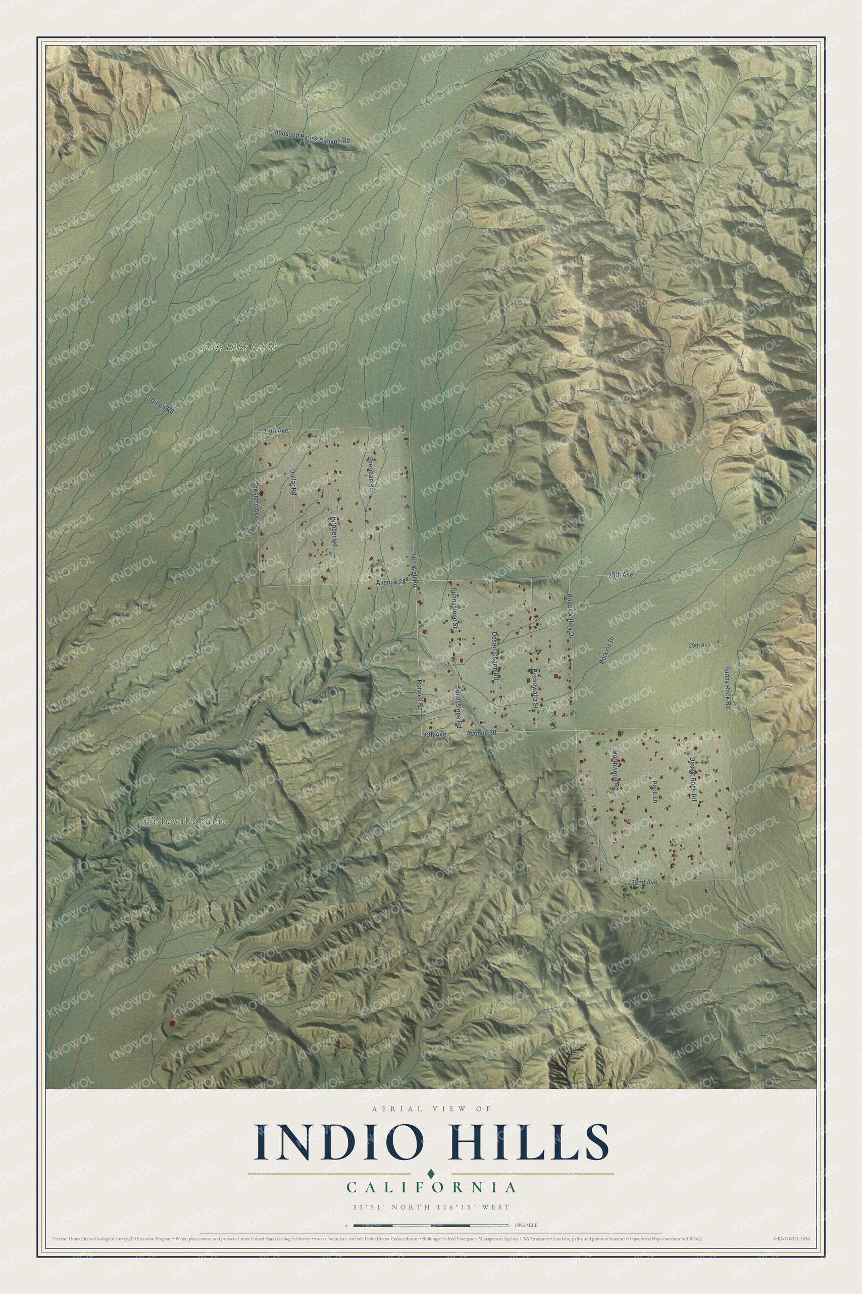
This beautifully detailed map of Indio Hills, California was created in 2026 using aerial imagery combined with modern topographical, census, street and landmark data. It's a modern aerial view of Indio Hills in Riverside County, California, that combines modern data with a vintage aesthetic. The roads feature printed names, and if you look closely you can find your exact house accurately shown in its correct location.
Explore an aerial view of Indio Hills, California
On this map you'll find Pushawalla Palms, Indio Hills Palms Park, Dillon Road, Hotwell Road, 30th Avenue, 28th Avenue, Hot Well Road, Happy Valley Drive, Avenue 28, Sunnyslope Street, Sunny Rock Road, Avenue 30, and more. Each red shape is a building, so zoom in on the preview and look for yours.
Every town has a first chapter, and Indio Hills is no exception. Indio Hills is a sparsely settled rural community along Dillon Road, on the northeast edge of the Coachella Valley Preserve. The Indio Hills around it are the largest hills in the Coachella Valley, rising to 1,740 feet along the San Andreas Fault. Groves of palm oasis woodland grow in the neighboring preserve, fed by water that flows underground until a fault block stops it and it rises to the surface. That's from the County of Riverside.
Indio Hills is a community in Riverside County. The Census Bureau counted 1,048 people here in 2020.
Take a closer look at the Indio Hills map
Names on this map
These names are printed on this map.
Places: Pushawalla Palms and Indio Hills Palms Park.
Streets and roads: Dillon Road, Hotwell Road, 30th Avenue, 28th Avenue, Hot Well Road, Happy Valley Drive, Avenue 28, Sunnyslope Street, Sunny Rock Road, Avenue 30, Sheridan Road, Western Avenue.
More street names, A to Z
26th Avenue, 29th Avenue, 32nd Avenue, Desert Charm Road, Desert Rock Road, Dollar Road, Hopper Road, Northwood Road, Pace Lane, Perkins Drive, Pushawalla Street, Sunnyslope Road, Thousand Palms Canyon Road.
See it on a wall
The Indio Hills map as a framed print. Swipe for more.


Created by KNOWOL in 2026. The buildings are small red shapes, the roads carry their printed names, and shaded relief shows the shape of the land. The title panel reads "AERIAL VIEW OF INDIO HILLS, CALIFORNIA" with 33°51' NORTH 116°15' WEST.
Hang it in the hallway, the office or the cabin, or give it to someone who left Indio Hills and still calls it home. Open the preview and look for a street you know. See sizes and frames for the Indio Hills map.