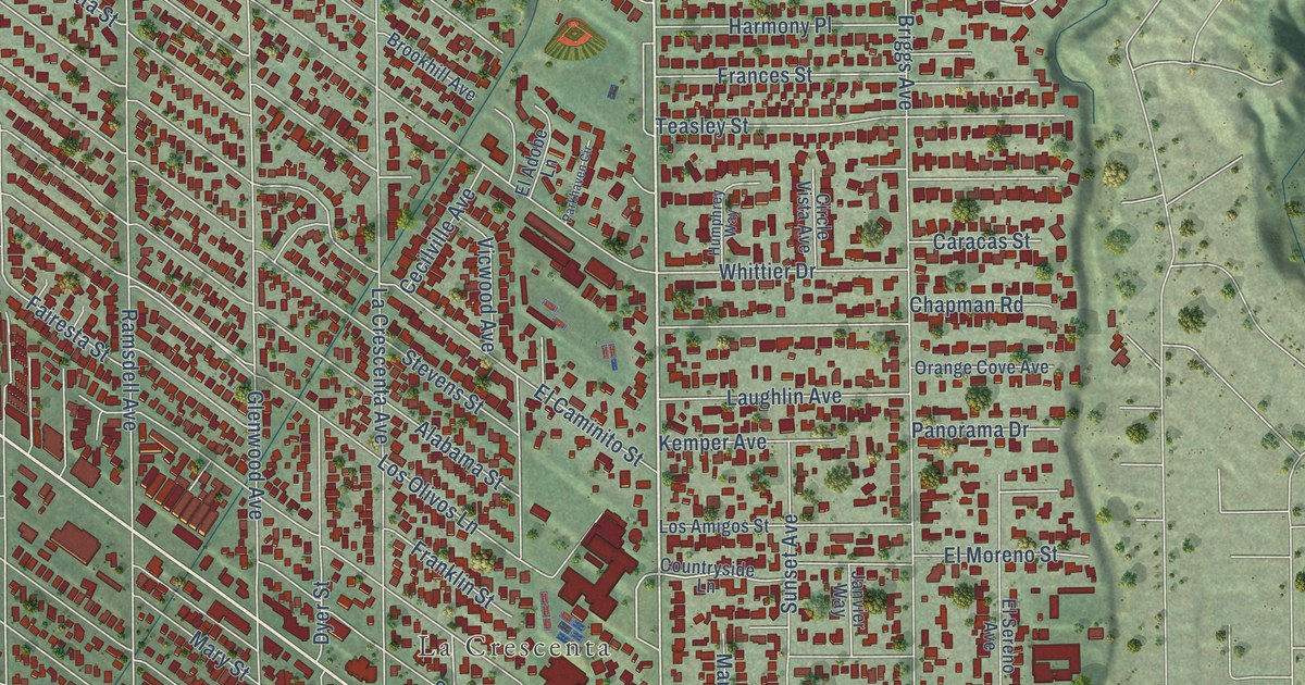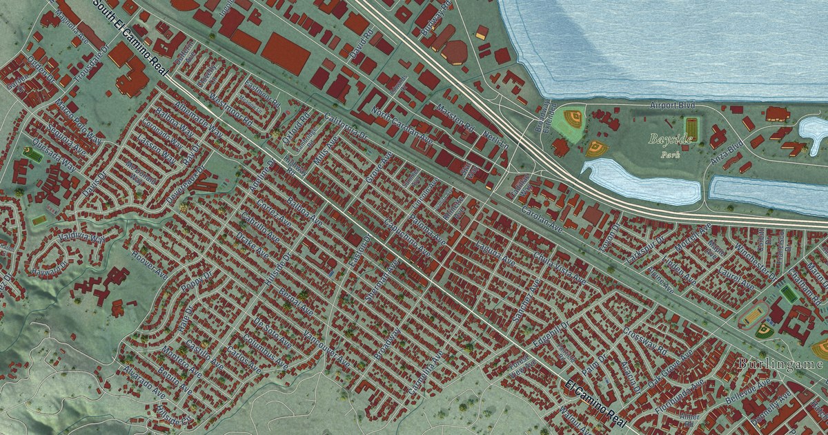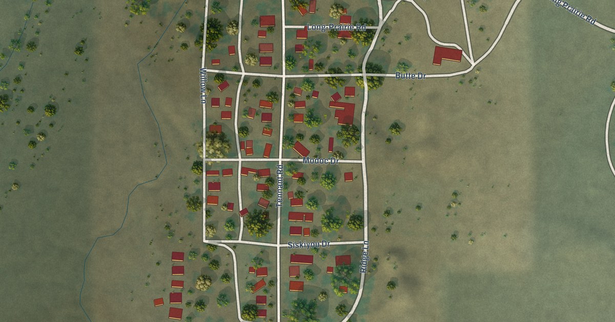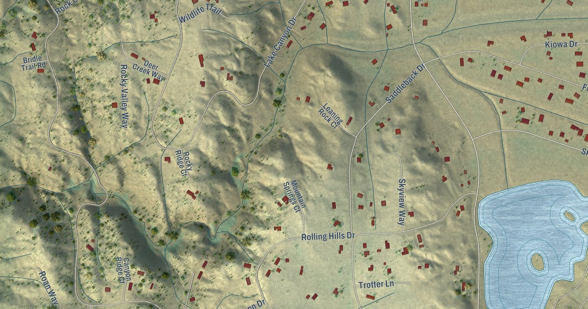
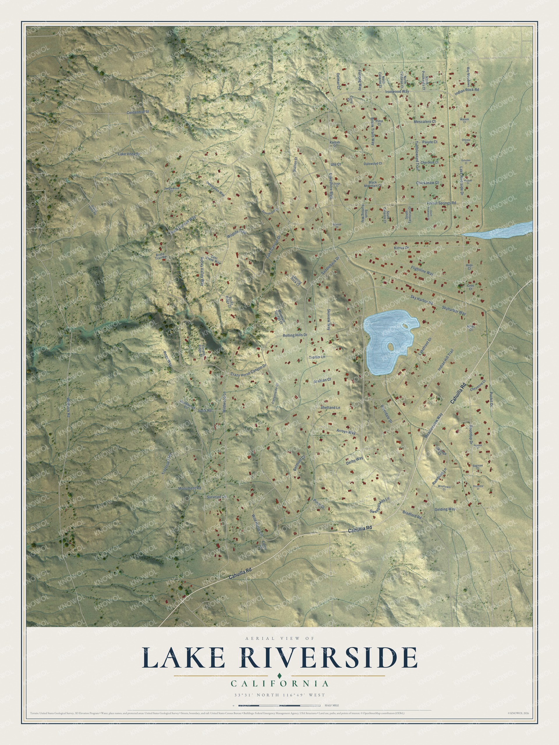
This beautifully detailed map of Lake Riverside, California was created in 2026 using aerial imagery combined with modern topographical, census, street and landmark data. It's a modern aerial view of Lake Riverside in Riverside County, California, that combines modern data with a vintage aesthetic. The roads feature printed names, and if you look closely you can find your exact house accurately shown in its correct location.
Explore an aerial view of Lake Riverside, California
On this map you'll find Cahuilla Road, Ironwood Way, Lakeshore Boulevard, Saddleback Drive, Crazy Horse Canyon Drive, Whitlock Road, Lake Canyon Drive, Rolling Hills Drive, Forest Springs Road, Lake Riverside Drive, Lake Vista Drive, Wildwood Lane, and more. Each red shape is a building, so zoom in on the preview and look for yours.
Lake Riverside is a community in Riverside County. The Census Bureau counted 1,375 people here in 2020. Lake Riverside sits about 5 miles northeast of Aguanga, 7 miles southwest of Anza and 8 miles southeast of Sage. The map prints the town name in its title panel, with the coordinates below it.
Take a closer look at the Lake Riverside map
Names on this map
These names are printed on this map.
Streets and roads: Cahuilla Road, Ironwood Way, Lakeshore Boulevard, Saddleback Drive, Crazy Horse Canyon Drive, Whitlock Road, Lake Canyon Drive, Rolling Hills Drive, Forest Springs Road, Lake Riverside Drive, Lake Vista Drive, Wildwood Lane.
More street names, A to Z
Arabian Court, Arroyo Way, Aztec Court, Bay Meadows, Belmont Court, Black Mountain Court, Bradford Road, Bridle Trail Road, Brook Trails Way, Canter Court, Canyon Ridge Court, Canyonside Court, Carriage Court, Centennial Street, Cherokee Court, Cheyenne Court, Chickasaw Court, Cree Court, Curry Court, Dalewood Court, Deer Creek Way, Deerhaven Way, Delmar Court, Derby Way, Flightline Way, Furlong Way, Gelding Way, Grassy Valley Road, Hillrise Court, Hopi Court, Indian Hill Trail, Indian Rock Road, Irons Road, Kaibab Court, Kiowa Drive, Lakefront Drive, Leaning Rock Court, Meadowview Way, Mescalero Court, Mojave Court, Monument Road, Mountain Springs Court, North Caliente Court, North Preakness Court, North Tanforan Court, Ochobee Court, Osage Court, Ottowa Court, Paiute Court, Pawnee Court, Pima Court, Pinto Court, Puckit Drive, Rambling Lane, Riverdale Drive, Roan Way, Rock Canyon Way, Rocky Ridge Court, Rocky Valley Way, Roundup Drive, Saginaw Court, Shetland Lane, Shoshone Court, Sky Harbor Road, Skyharbor Way, Skyview Way, South Caliente Court, South Furlong Way, South Preakness Court, South Tanforan Court, Stallion Court, Stonehenge Circle, Sunnybrook Circle, Surveyor Lane, Sweepstakes Lane, Tanglewood Court, Traverse Trail, Trotter Lane, Tumbleweed Trail, Ute Court, Watomi Court, Wildflower Court, Wild Horse Circle, Wildlife Trail.
See it on a wall
The Lake Riverside map as a framed print. Swipe for more.


Created by KNOWOL in 2026. The buildings are small red shapes, the roads carry their printed names, and shaded relief shows the shape of the land. The title panel reads "AERIAL VIEW OF LAKE RIVERSIDE, CALIFORNIA" with 33°31' NORTH 116°49' WEST.
It looks right in a kitchen, an office or a den, and it's a gift for anyone who grew up in Lake Riverside or moved away. Open the preview and find your street. See sizes and frames for the Lake Riverside map.