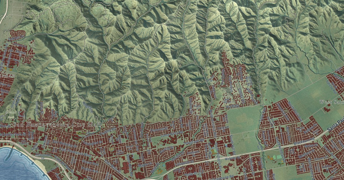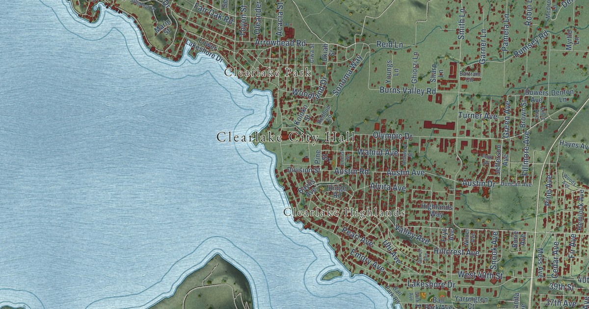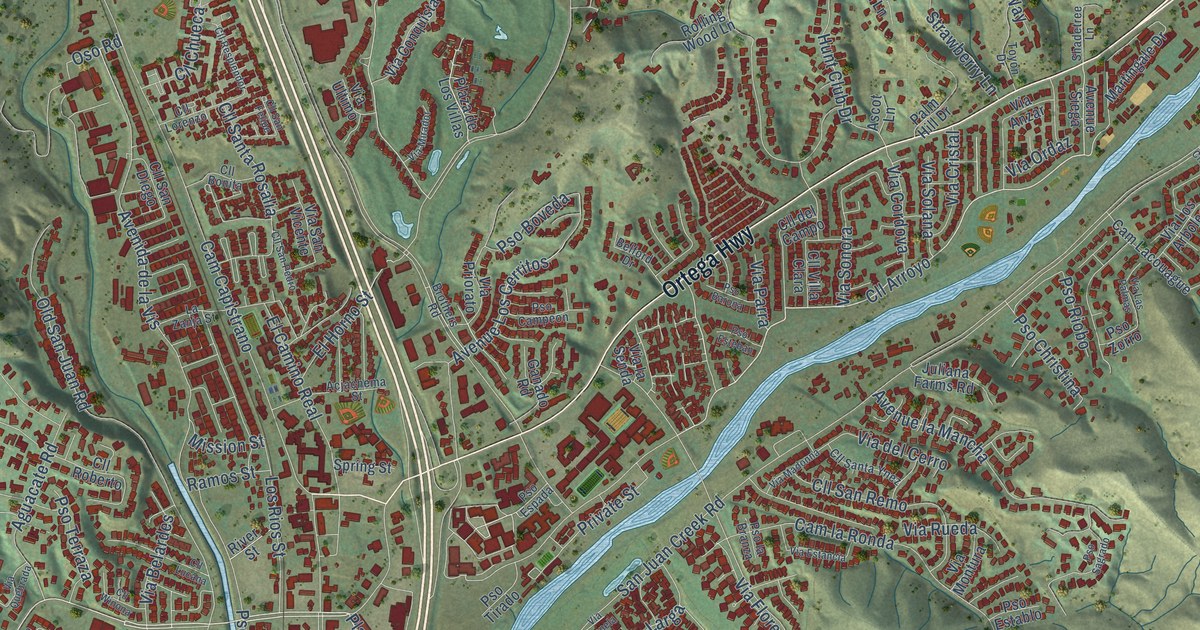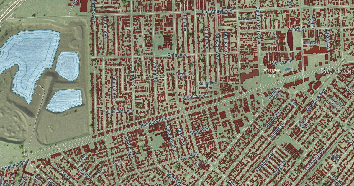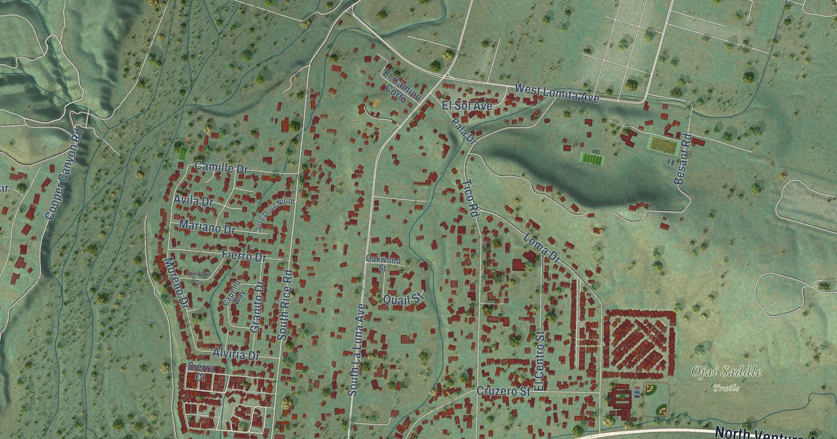
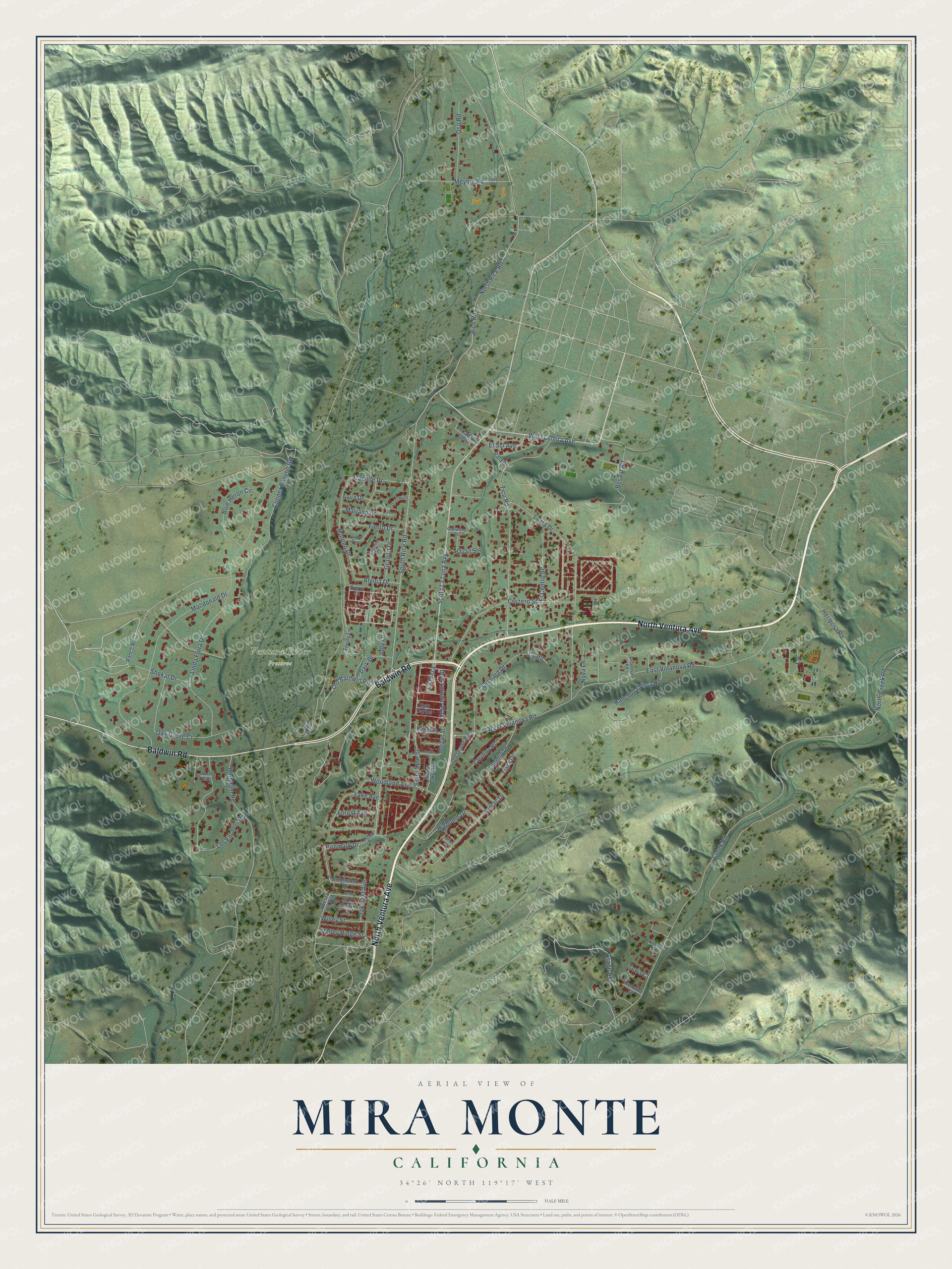
This beautifully detailed map of Mira Monte, California was created in 2026 using aerial imagery combined with modern topographical, census, street and landmark data. It's a modern aerial view of Mira Monte in Ventura County, California, that combines modern data with a vintage aesthetic. The roads feature printed names, and if you look closely you can find your exact house accurately shown in its correct location.
Explore an aerial view of Mira Monte, California
On this map you'll find Ojai Saddle Trails, Ventura River Preserve, North Ventura Avenue, Baldwin Road, Osage Avenue, Rice Road, Old Baldwin Road, South Rice Road, Sumac Drive, North Rice Road, Don Antonio Way, Creek Road, and more. Each red shape is a building, so zoom in on the preview and look for yours.
Mira Monte has a story worth telling. Don Henderson built Henderson Field in Mira Monte in the 1940s, on family land near Highway 33 and Baldwin Road, and ran a small flying school there for the Army Air Corps during World War II. For nearly 30 years its 2,100-foot runway took up to 20 planes a week, and Hollywood stars such as Claudette Colbert flew in on weekends. Pilots landing at night were guided down by their wives, who parked at the end of the runway and shined the car lights. The airstrip closed around 1970. That's from the Ojai Valley News.
Mira Monte is a community in Ventura County. The Census Bureau counted 6,618 people here in 2020.
Take a closer look at the Mira Monte map
Names on this map
These names are printed on this map.
Places: Ojai Saddle Trails and Ventura River Preserve.
Streets and roads: North Ventura Avenue, Baldwin Road, Osage Avenue, Rice Road, Old Baldwin Road, South Rice Road, Sumac Drive, North Rice Road, Don Antonio Way, Creek Road, South La Luna Avenue, Macdonald Drive.
More street names, A to Z
Alviria Drive, Arcata Road, Avila Drive, Besant Road, Blue Heron Circle, Bonmark Drive, Brier Street, Burnham Road, Camille Drive, Capello Way, Cooper Canyon Road, Corto, Country Drive, Country Place, Crown Street, Cruzero Street, Don Carlos, East Villanova Road, El Camino Corto, El Centro Street, El Sol Avenue, Ferrara Drive, Fierro Drive, Forest Avenue, Fraser Lane, Granito Drive, Hermosa Road, Highland Drive, Jose Drive North, Judy Lane, Kecyle Yard, Kenewa Street, Kiowa Court, Lake Avenue, Lane, La Plaza, Linda Flora Drive, Loma Drive, Los Encinos Road, Mariano Drive, Martin Street, Meyer Road, Meyers Road, Mirror Lake Avenue, Moreno Drive, Morgan Street, North Creek Road, Nova Lane, Oakcrest Avenue, Oak Grove Court, Oakwood Street, Old Grade Road, Orchard Drive, Oso Road, Pala Drive, Park Drive, Pegasus Street, Puesta del Sol, Quail Street, Rancho la Vista Road, Ranch Road, Shokat Drive, Sierra Court, Silver Spur Street, Tewa Court, Tiara Drive, Tico Road, Trusty Lane, Valley Ridge Street, Villanova Road, Ward Way, West Lomita Avenue, West Villanova Road, Wild Oak Street, Willey Street, Woodland Avenue, Wormwood Street.
See it on a wall
The Mira Monte map as a framed print. Swipe for more.


Created by KNOWOL in 2026. The buildings are small red shapes, the roads carry their printed names, and shaded relief shows the shape of the land. The title panel reads "AERIAL VIEW OF MIRA MONTE, CALIFORNIA" with 34°26' NORTH 119°17' WEST.
It looks right in a kitchen, an office or a den, and it's a gift for anyone who grew up in Mira Monte or moved away. Open the preview and find your street. See sizes and frames for the Mira Monte map.