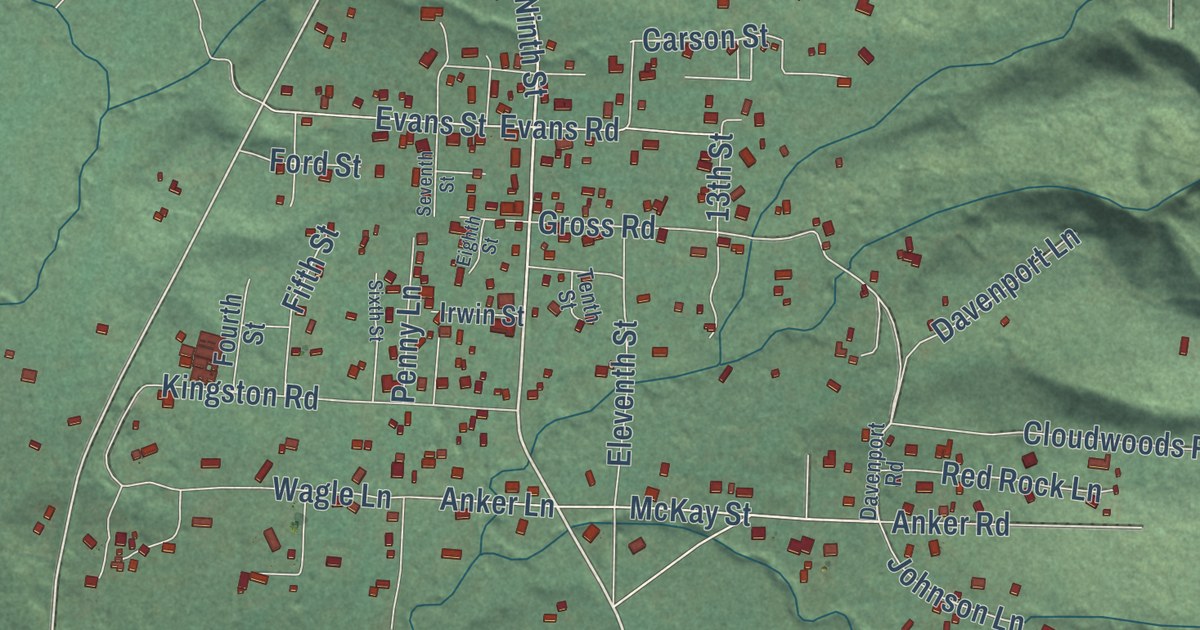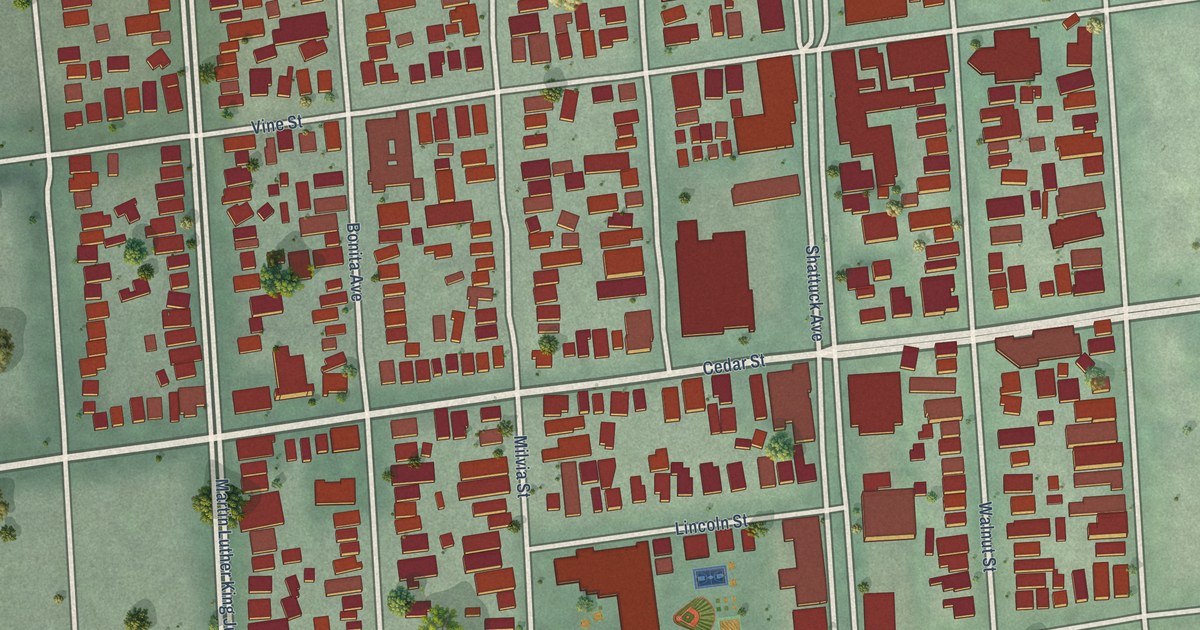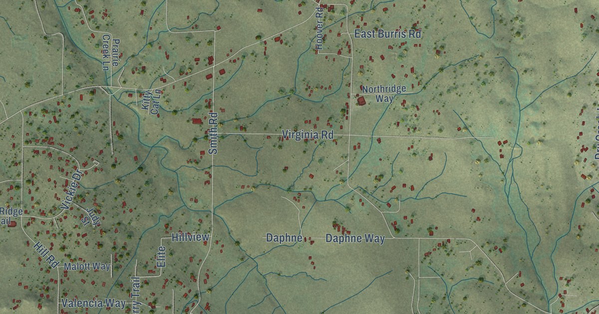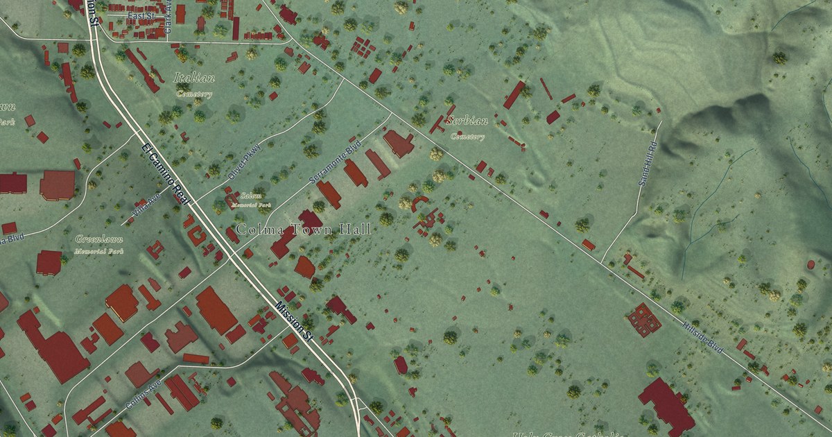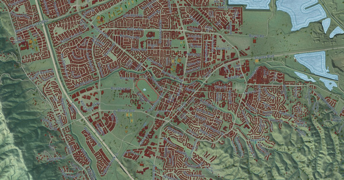
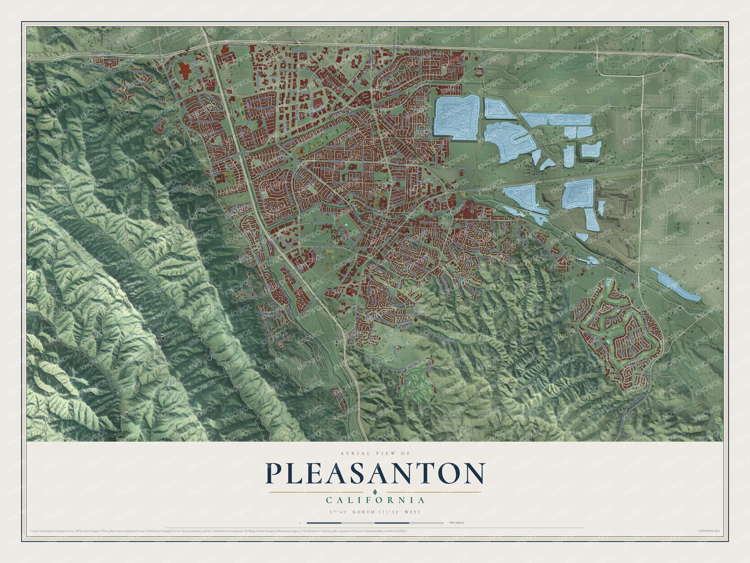
This beautifully detailed map of Pleasanton, California was created in 2026 using aerial imagery combined with modern topographical, census, street and landmark data. It’s a one-of-a-kind view of Pleasanton that combines accurate data with a vintage aesthetic. The map shows every building in its true location, many of the roads carry their names, and the shaded topographic relief shows the shape of the land.
Explore an aerial view of Pleasanton, California
On the map you’ll find Roadway 13, along with Vallecitos Road, Bernal Avenue, Valley Avenue, Vineyard Avenue, Stanley Boulevard, First Street, Verde Drive, East Ruby Hill Drive, Stoneridge Drive, West Las Positas Boulevard, West Ruby Hill Drive, and more. If you look closely you can even find your house accurately drawn in its correct location. Zoom in on the preview to look for yours.
Did you know this piece of Pleasanton, California history?
From Arcadia Publishing: "Kottinger named the city after Civil War general Alfred Pleasonton, but a postal clerical error changed the spelling to Pleasanton and the name stuck."
Take a closer look at the Pleasanton map
Street names on the Pleasanton, California map
These names are printed on the map of Pleasanton, California.
Streets and roads: Vallecitos Road, Bernal Avenue, Valley Avenue, Vineyard Avenue, Stanley Boulevard, First Street, Roadway 13, Verde Drive, East Ruby Hill Drive, Stoneridge Drive, West Las Positas Boulevard, West Ruby Hill Drive.
More street names, A to Z
12 Oaks Drive, Abbie Street, Adams Way, Alder Court, Alisal Street, Alvord Way, Amber Lane, Andrews Drive, Appian Street, Arbor Drive, Arlington Drive, Arthur Drive, Baker Drive, Belleza Drive, Black Avenue, Blackbird Drive, Blessing Drive, Bonita Avenue, Bordeaux Street, Boulder Street, Bradford Way, Briggs Court, Brookline Loop, Busch Road, California Avenue, Cam Brazos, Cam del Lago, Cam Segura, Canyon Meadow Circle, Canyon Way, Cascara Court, Case Avenue, Casterson Court, Chabot Drive, Churchill Drive, Cid Way, Clara Lane, Cll Altamira, Clover Court, Clubhouse Drive, Commerce Circle, Concord Street, Coronado Lane, Crellin Road, Crosby Drive, Deer Oaks Drive, Del Sol Avenue, Del Valle Parkway, Denker Drive, Dennis Drive, Deodar Way, Diavila Avenue, Division Street, Dorman Road, Driftwood Way, Dublin Boulevard, Dublin Canyon Road, Dublin Road, East Angela Street, Eilene Drive, El Charro Road, Fairgrounds Road, Fairlands Drive, Fair Street, Flagstone Drive, Foothill Knolls Drive, Foothill Road, Foot Hill Road, Forest Hill Drive, Francisco Street, Franklin Drive, Frog Hill Lane, Gatetree Circle, Germano Way, Gibraltar Drive, Gibraltar Drive North, Gibraltar Drive South, Gibson Court, Golden Eagle Way, Golden Road, Grant Court, Grapevine Drive, Gray Fox Circle, Greenwood Road, Grey Eagle Court, Gulfstream Street, Hacienda Drive, Hansen Drive, Happy Valley Road, Harvest Road, Hearst Drive, Holland Drive, Hopkins Way, Hopyard Road, Huff Drive, Independence Drive, Inglewood Drive, Inspiration Terrace, Ironwood Drive, Jensen Street, Johnson Drive, Junipero Street, Kamp Drive, Kirkcaldy Street, Kolb Ranch Drive, Koll Center Parkway, Kolln Street, Kottinger Drive, Krause Street, Laguna Creek Lane, Laurel Creek Drive, Longview Drive, Lund Ranch Road, Lupine Court, Madeira Drive, Main Street, Manoir Lane, Maple Leaf Drive, Martin Avenue, Mason Street, Mataro Court, Mavis Drive, Maywood Drive, Minnie Street, Mission Drive, Mohr Avenue, Moller Ranch Drive, Monaco Drive, Montevino Drive, Morse Drive, Muirwood Drive, National Park Road, Neal Street, Nevada Street, Nevis Street, Newton Way, Nicole Avenue, Northway Road, Oak Creek Drive, Oak Vista Way, Old Bernal Avenue, Old Santa Rita Road, Old Vineyard Avenue, Olson Court, Orchard Way, Orloff Drive, Owens Drive, Paladin Way, Palomino Drive, Paragon Circle, Park Place, Parkside Drive, Payne Road, Peters Avenue, Piemonte Drive, Pietronave Lane, Pimlico Drive, Pineto Place, Pleasant Hill Road, Pleasanton Avenue, Pomino Way, Prairie Drive, Promenade Way, Pso del Cajon, Pso Granada, Pso Santa Cruz, Quarry Lane, Raboli Street, Raven Road, Ray Street, Redflat Court, Regency Drive, Remillard Court, Rheem Drive, Riddell Street, Rockingham Drive, Rose Avenue, Rosewood Drive, Ruby Hill Drive, Safreno Way, San Juan Way, San Ramon Road, Santa Rita Road, Santos Ranch Road, Second Street, Serenity Terrace, Serpentine Lane, Silver Oaks Court, Silver Street, Smallwood Court, Sonoma Drive, Springdale Avenue, Spumante Place, Sterling Greens Circle, Stonedale Drive, Stoneridge Mall Road, Streamside Circle, Suffolk Way, Sunol Boulevard, Sunset Creek Lane, Sutter Gate Avenue, Sycamore Creek Way, Sycamore Road, Sylvaner Drive, Tanager Drive, Tapestry Way, Tassajara Road, Tawny Drive, Tehan Canyon Road, Third Street, Touriga Drive, Trenery Drive, Trimingham Drive, Tuscany Place, Utah Street, Valley Oak Road, Valley Trails Drive, Varese Court, Via de Los Cerros, Via de Los Milagros, Via Di Salerno, Via Espada, Via Quito, Vierra Court, Villa Loop, Villero Court, Vine Street, Vineyard Drive, Vintner Way, Vis Diablo, Walnut Drive, War Glory Place, West Lagoon Road, Willow Road, Windmill Lane, Wingate Drive, Woodthrush Road, Zenato Place.
See the Pleasanton, California map on a wall
The Pleasanton map as an 18 x 24 inch print in a black frame.

This beautifully detailed map of Pleasanton makes an attractive addition to your office, library, or den, and it can even be used to teach children the geography and history of the area. It also makes a great gift for anyone who grew up in Pleasanton or moved away. When you’re done exploring, click here to get your copy of the Pleasanton map.