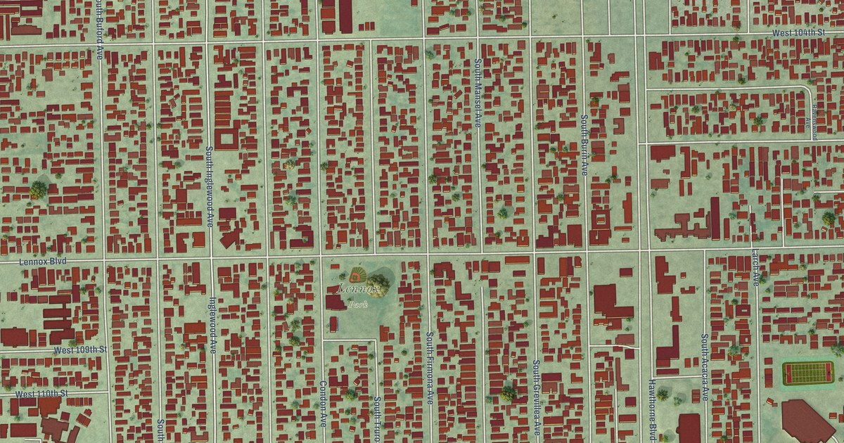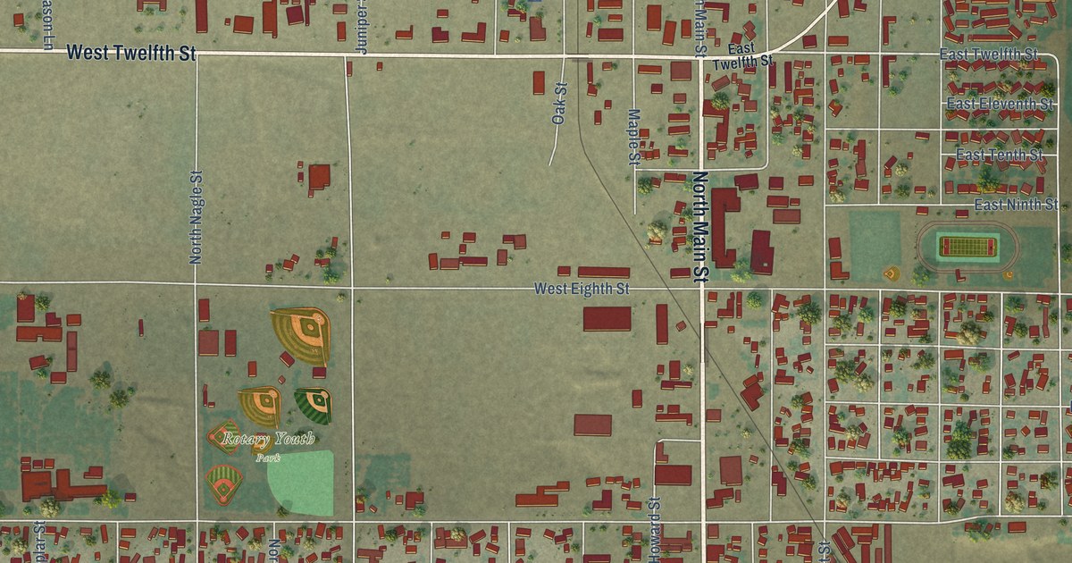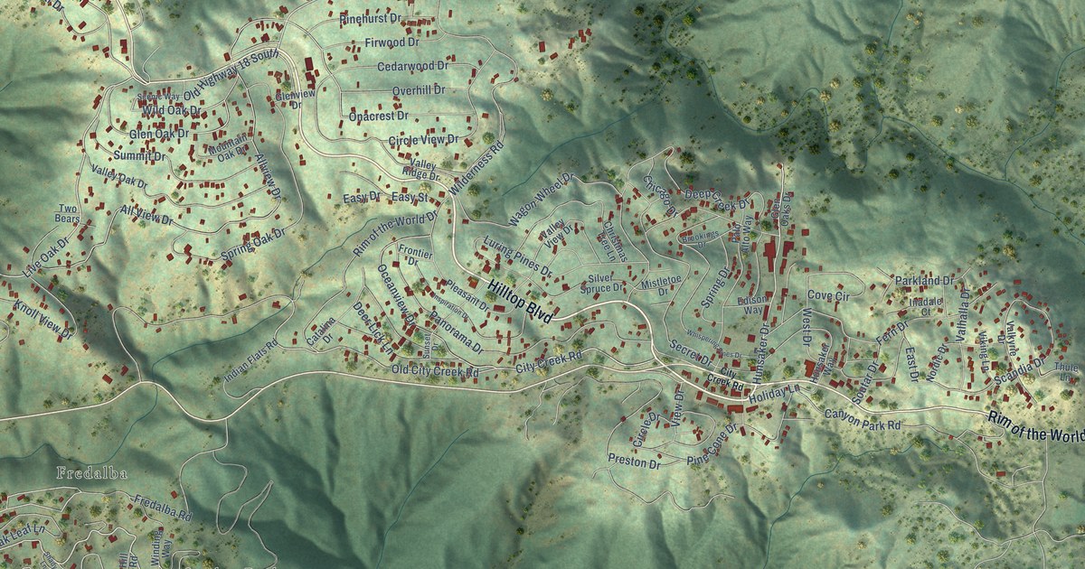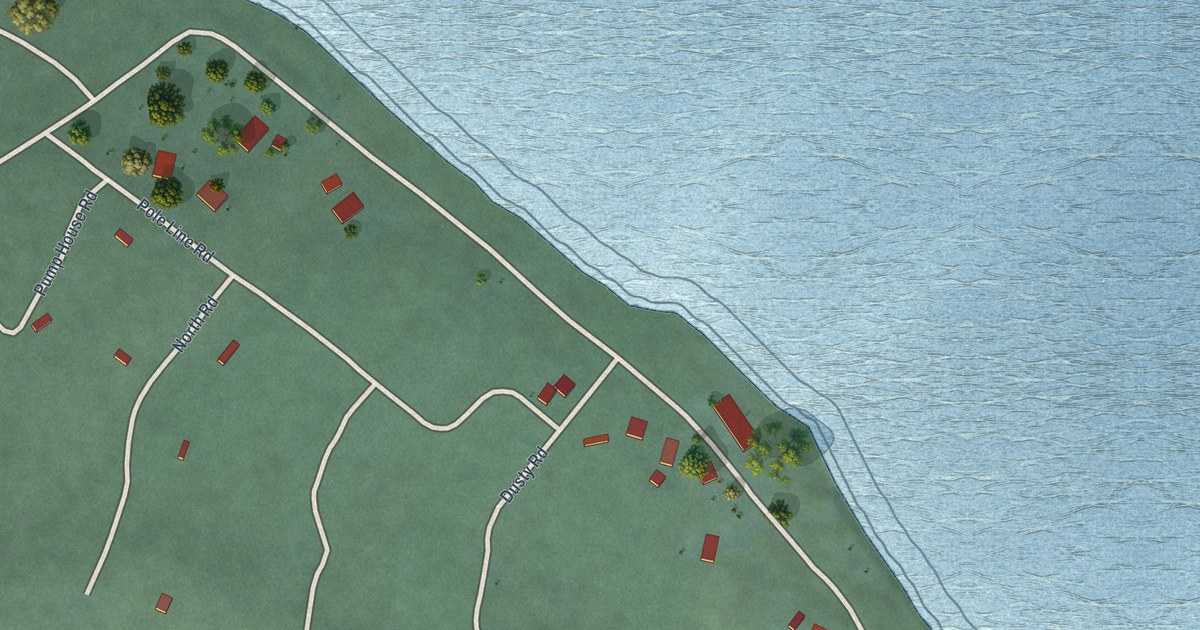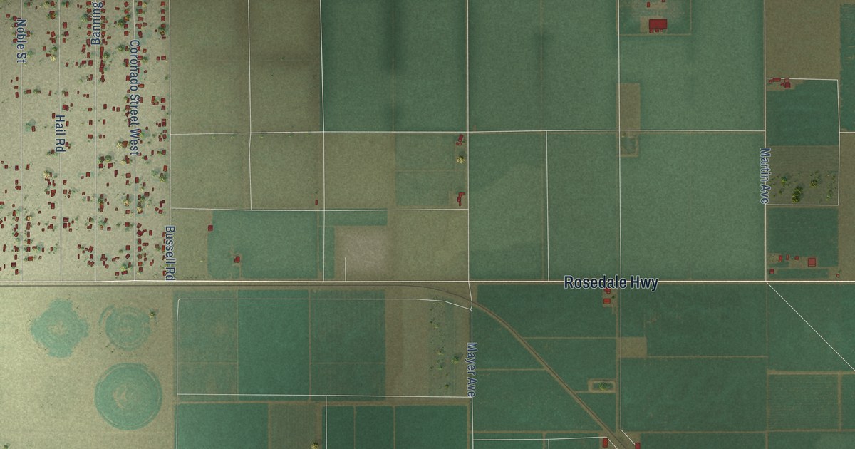
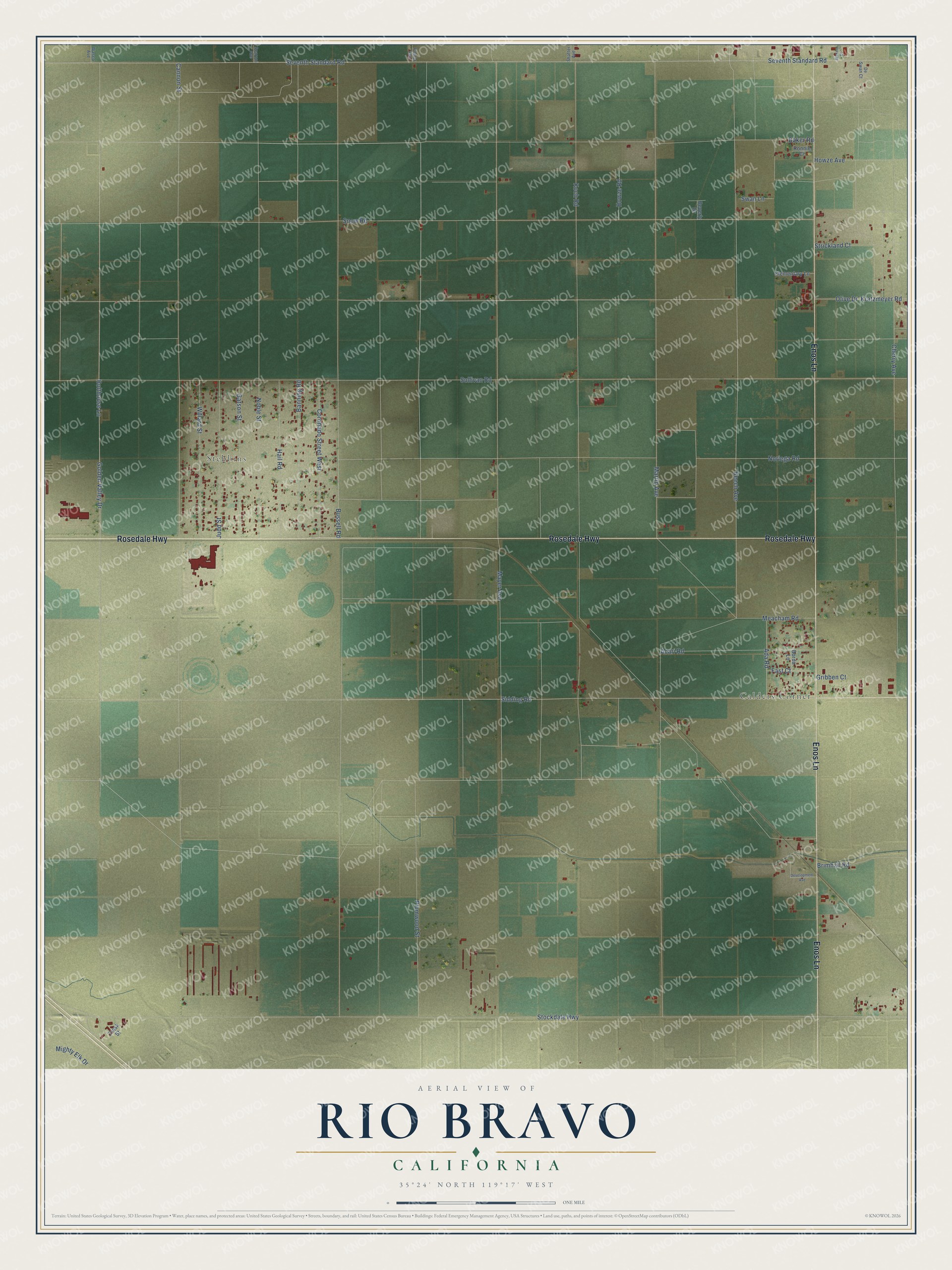
This beautifully detailed map of Rio Bravo, California was created in 2026 using aerial imagery combined with modern topographical, census, street and landmark data. It’s a one-of-a-kind view of Rio Bravo that combines accurate data with a vintage aesthetic. The map shows every building in its true location, many of the roads carry their names, and the shaded topographic relief shows the shape of the land.
Explore an aerial view of Rio Bravo, California
On the map you’ll find Calders Corner and Stebbins, along with Rosedale Highway, Enos Lane, Bolthouse Lane, Sidding Road, Beech Avenue, Martin Avenue, Bussell Road, Stockdale Highway, Sullivan Road, Seventh Standard Road, and more. If you look closely you can even find your house accurately drawn in its correct location. Zoom in on the preview to look for yours.
Did You Know?
From the 1921 History of Stanislaus County, California: "From here he went to Bakersfield for the Standard Oil, being located for a year and a half at the Rio Bravo station on the West Side."
Rio Bravo is a community in Kern County.
Take a closer look at the Rio Bravo map
Names on this map
These names are printed on this map.
Places: Calders Corner and Stebbins.
Streets and roads: Rosedale Highway, Enos Lane, Bolthouse Lane, Sidding Road, Beech Avenue, Martin Avenue, Bussell Road, Stockdale Highway, Sullivan Road, Seventh Standard Road, Cannon Street, Snow Road.
More street names, A to Z
Acari Road, Ada Road, Baker Road, Banning Road, Beverly Drive, Borda Lane, Brimhall Road, Broken Court, Cherry Avenue, Coronado Street West, De Swan Court, Development Avenue, Elementary Lane, Fast Court, Gatson Street, Golden Valley Drive, Gribben Court, Hail Road, Howze Avenue, Howze Road, Judd Street, Koch Road, Kratzmeyer Road, Mayer Avenue, Meacham Road, Mighty Elk Drive, Noble Street, Noriega Road, Olive Drive, Plumwood Street, Poplar Avenue, Ronnie Court, Scaroni Avenue, Shafter Avenue, Strickland Court, Swan Lane, Trask Street, Wasco Avenue, Willard Street.
See it on a wall
The Rio Bravo map as a framed print. Swipe for more.


This beautifully detailed map of Rio Bravo makes an attractive addition to your office, library, or den, and it can even be used to teach children the geography and history of the area. It also makes a great gift for someone who left Rio Bravo and still calls it home. When you’re done exploring, click here to get your copy of the Rio Bravo map.