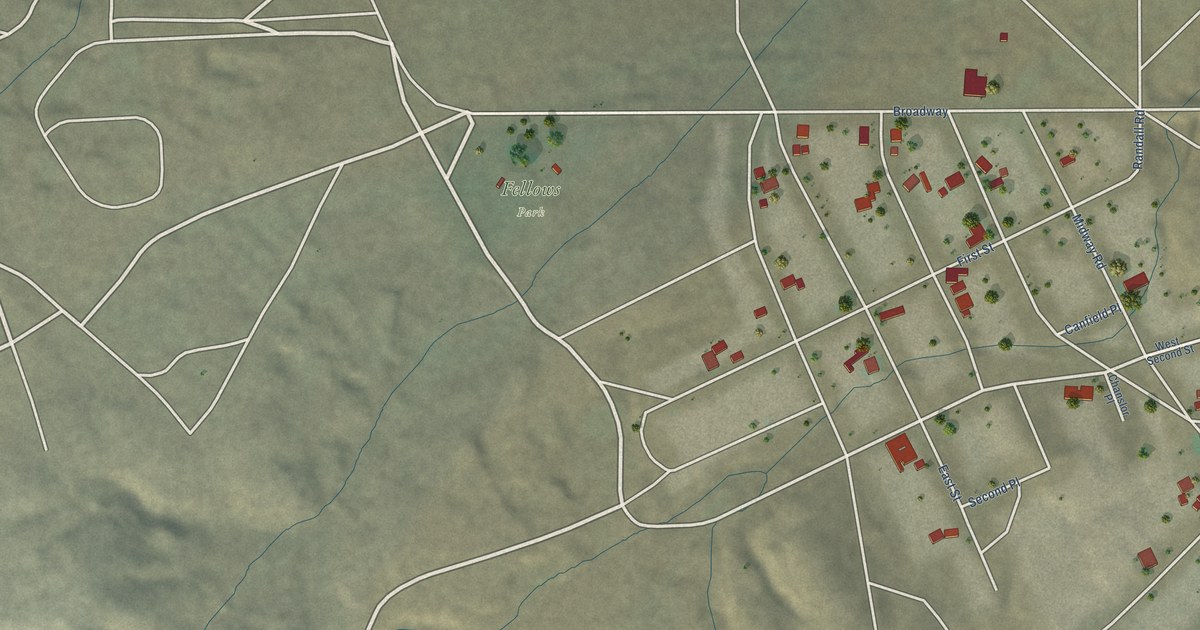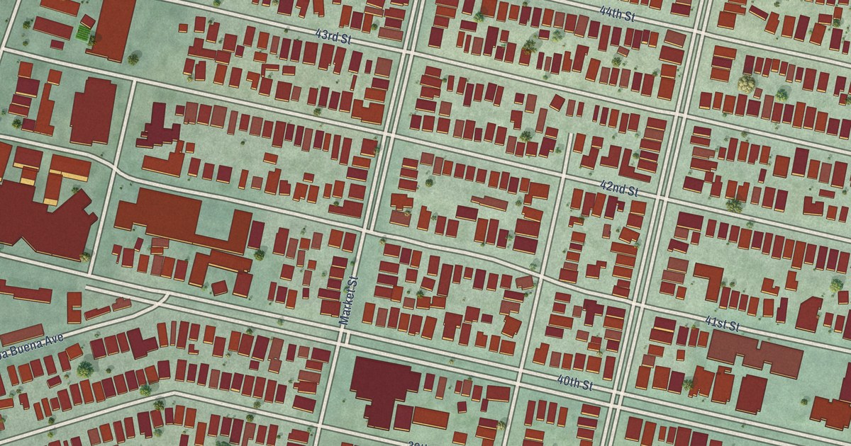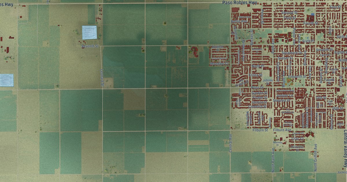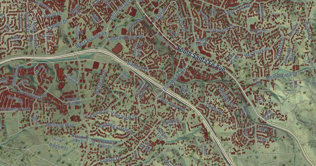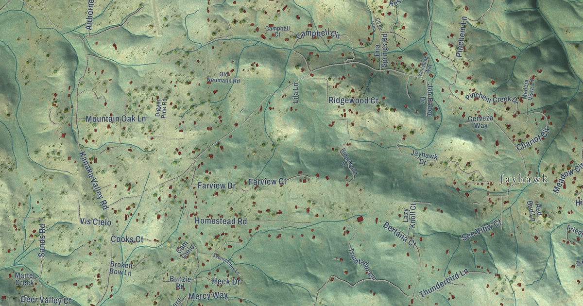
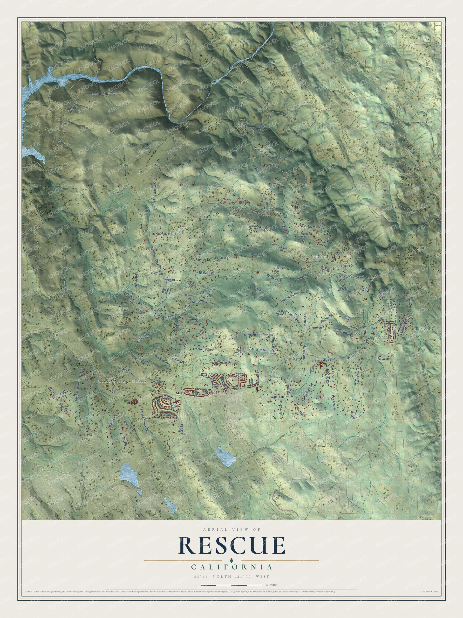
This beautifully detailed map of Rescue, California was created in 2026 using aerial imagery combined with modern topographical, census, street and landmark data. It’s a one-of-a-kind view of Rescue that combines accurate data with a vintage aesthetic. The map shows every building in its true location, many of the roads carry their names, and the shaded topographic relief shows the shape of the land.
Explore an aerial view of Rescue, California
On the map you’ll find Mariemont, Green Springs Ranch, Skinners, and Jayhawk, along with Sands Road, Sunnyhill Court, Deer Valley Road, Green Valley Road, Starbuck Road, Kanaka Valley Road, Jurgens Road, Sierra Vista Road, and more. If you look closely you can even find your house accurately drawn in its correct location. Zoom in on the preview to look for yours.
Did You Know?
From Internet Archive: "Team members of the Empire Shaft of the Mines Company won first prize, both in First Aid and Mine Rescue."
Rescue is a community in El Dorado County.
Take a closer look at the Rescue map
Names on this map
These names are printed on this map.
Places: Mariemont, Green Springs Ranch, Skinners and Jayhawk.
Streets and roads: Sands Road, Sunnyhill Court, Deer Valley Road, Green Valley Road, Starbuck Road, Kanaka Valley Road, Jurgens Road, Sierra Vista Road, Pine Hill Road, Buckhorn Lane, Valley View Road, Walnut Drive.
More street names, A to Z
Airborne Road, Alpine View Drive, Bainbridge Avenue, Bass Lake Road, Bentley Drive, Bertana Court, Broken Bow Lane, Builders Place, Bunzie Road, Cam Cielo, Campbell Circle, Campbell Court, Carl Road, Cerveza Way, Chamise Lane, Chariot Circle, Chatee Lane, Cherokee Road, Clarksville Road, Cll de Vino, Cobalt Court, Cooks Court, Crowdis Lane, Deer Oaks Drive, Deer Valley Court, Digger Pine Road, Donkey Lane, Dorado Ridge Trail, Dormity Road, Drakes Lane, Dry Creek Road, Dunbar Road, Duncan Hill Road, East Green Springs Road, Ernies Court, Ethel Drive, Farview Court, Farview Drive, Fawn Way, Fern Court, Four Springs Drive, Foxmore Lane, Fremonts Loop, Fria Springs Road, Friedman Lane, Golden Moss Road, Halley Lane, Heck Drive, Helena Road, Hill Road, Hillside Drive, Homestead Road, Howard Drive, Jasper Circle, Jasper Road, Jayhawk Drive, Joh-Baber Drive, Kenworth Drive, Kylee Court, Lambeth Drive, Lazy Knoll Court, Lila Lane, Little Oak Lane, Lottie Lane, Luneman Road, Madera Vista Lane, Marden Drive, Martel Creek, Mayfield Drive, Meadow Circle, Melodye Lane, Mercy Way, Monthaven, Mountain Oak Lane, Oak Lane Drive, Octagon Place, Old Green Valley Road, Old Neumann Road, Peaceful Garden Way, Pearl Lane, Penny Lane, Peridot Drive, Pinchem Creek Drive, Pinchem Lane, Pine Cone Drive, Pineoakyo Court, Pineoakyo Road, Pinon Road, Poaching Lane, Ponderosa Road, Red Bud Lane, Rescue Road, Ridgeline Drive, Ridgewood Court, Ridgewood Drive, Rosa Lane, Rough Ridge Road, Royce Drive, Salmon Falls Road, Sanford Drive, Seanshelley Lane, See View Court, Shorthorn Road, Silver Springs Parkway, Skinner Lane, Sorney Loop, Spirits Rest Court, Sterling Drive, Sunny Hill Road, Susan Lane, Thunderbird Lane, Tiffany Hill Drive, Tourmaline Way, Travois Circle, Triunfador Lane, Ulenkamp Road, Vanishing Way, Velvet Horn Lane, Venado Way, Vis Cielo, Walnut Court, Weymouth Way, White Oak Road, Whitetail Lane, Winchester Drive, Woodsman Road.
See it on a wall
The Rescue map as a framed print. Swipe for more.


This beautifully detailed map of Rescue makes an attractive addition to your office, library, or den, and it can even be used to teach children the geography and history of the area. It also makes a great gift for anyone who grew up in Rescue or moved away. When you’re done exploring, click here to get your copy of the Rescue map.