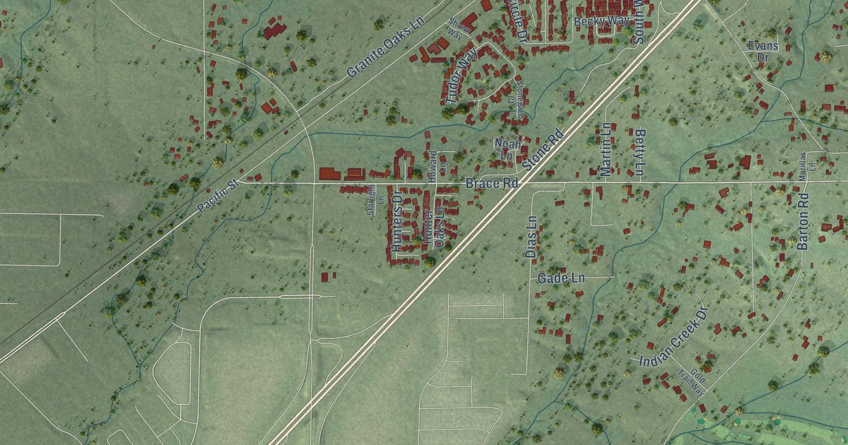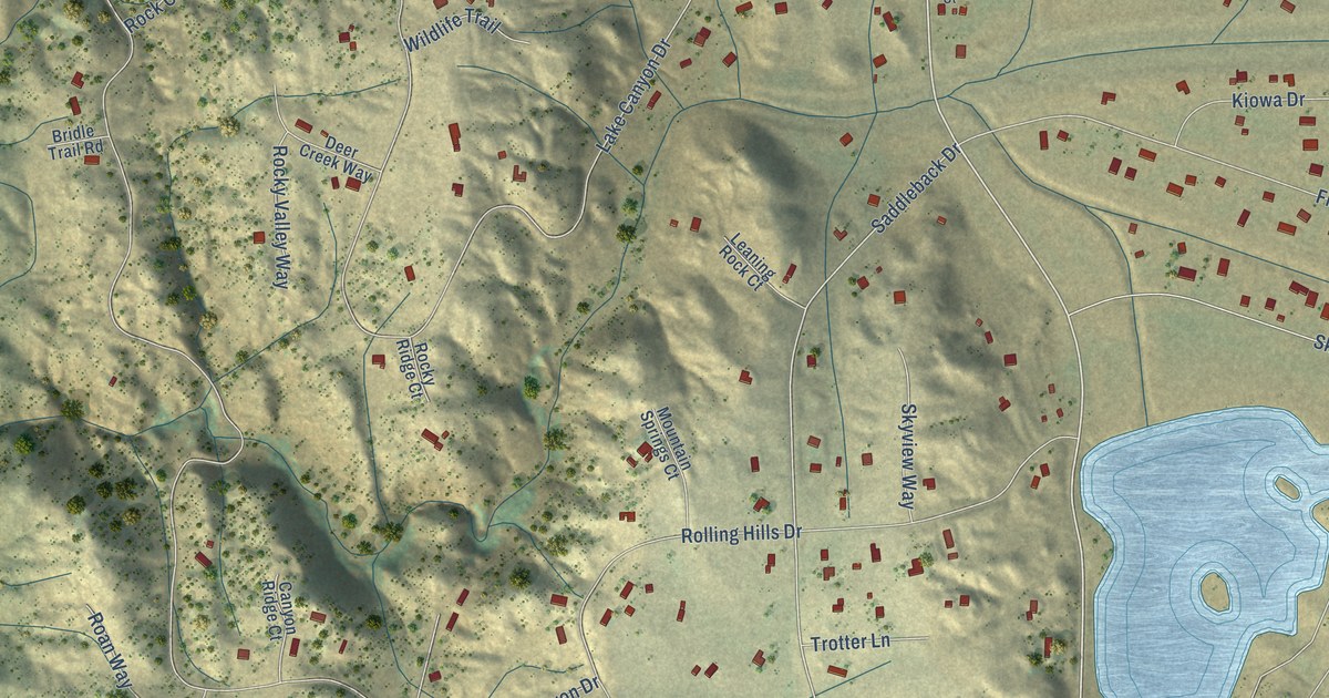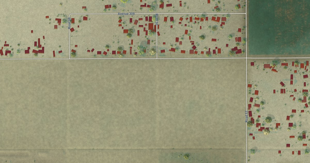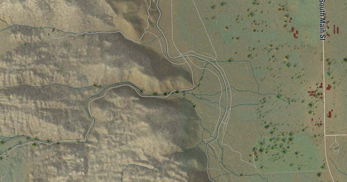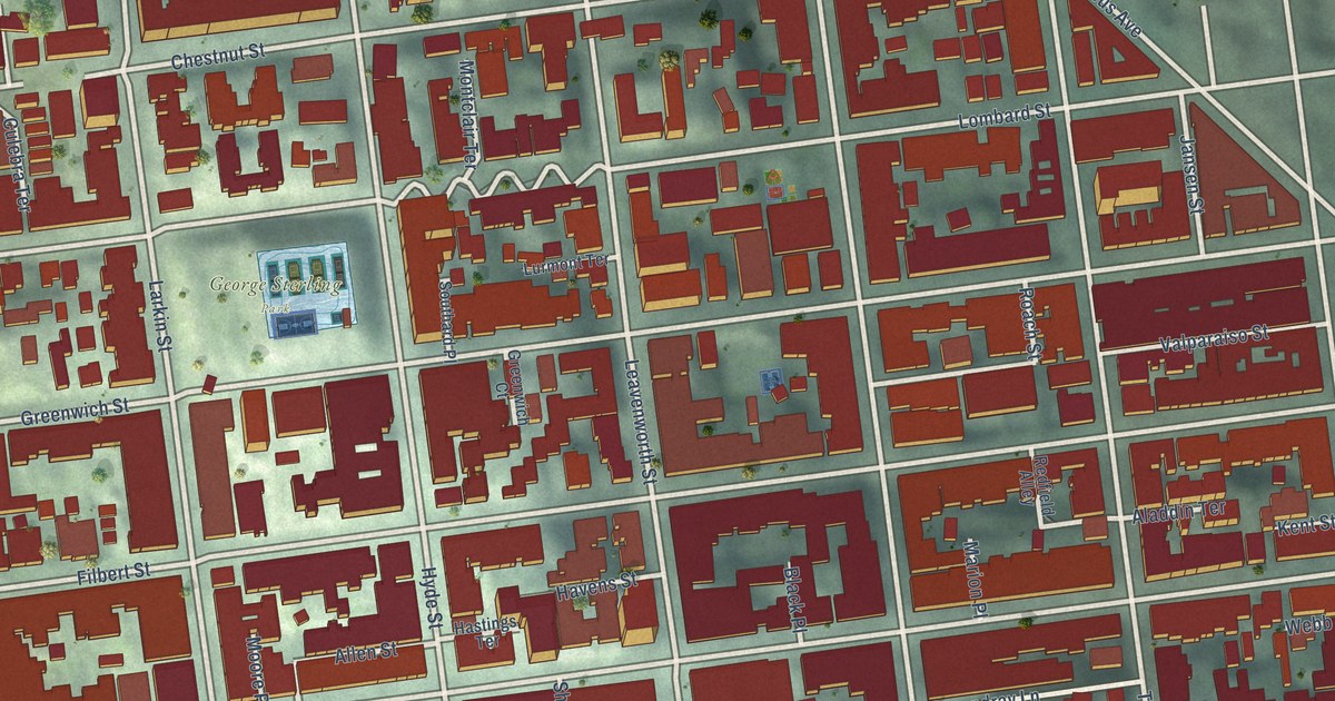
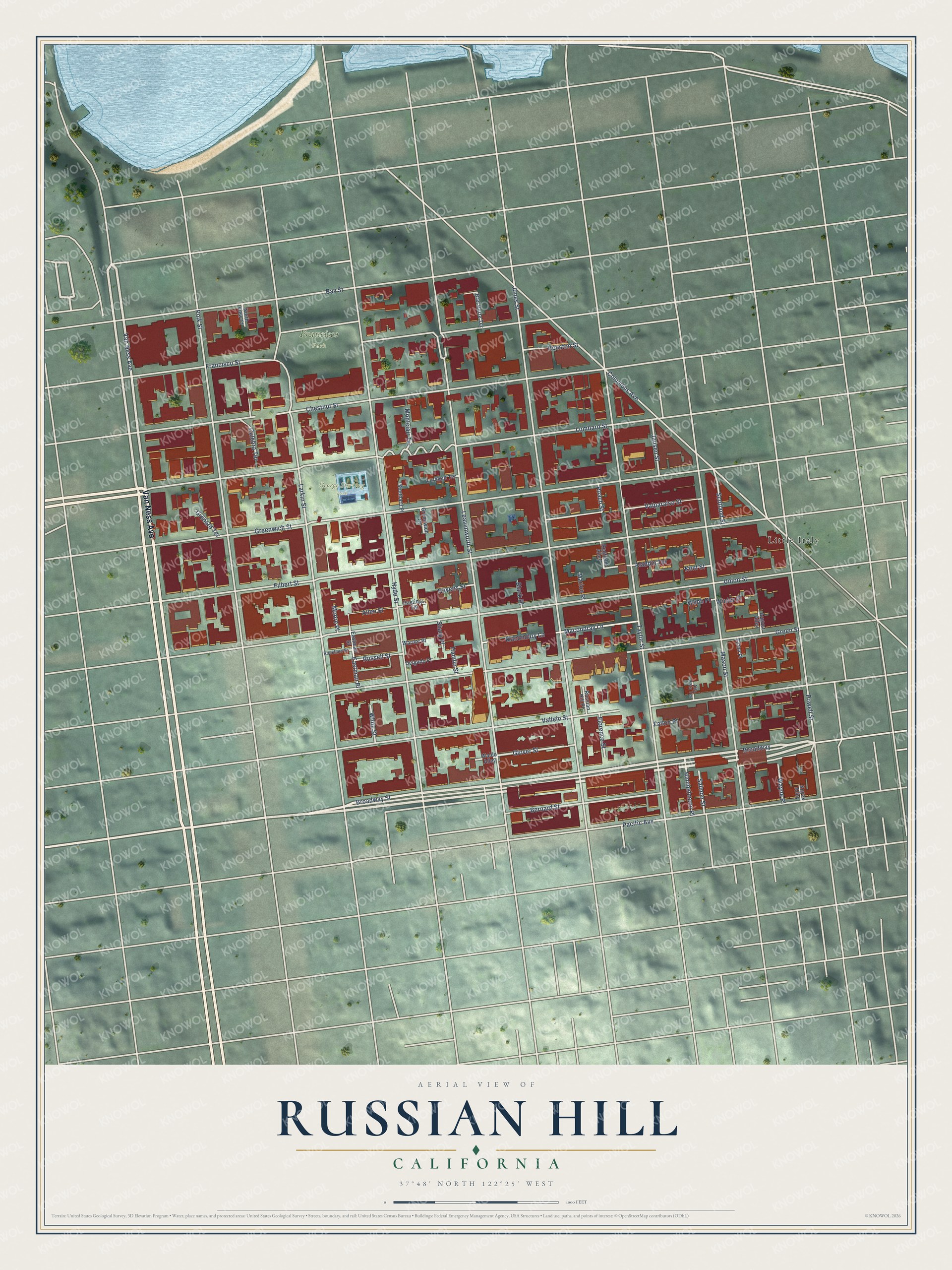
This beautifully detailed map of Russian Hill, California was created in 2026 using aerial imagery combined with modern topographical, census, street and landmark data. It’s a one-of-a-kind view of Russian Hill that combines accurate data with a vintage aesthetic. The map shows every building in its true location, many of the roads carry their names, and the shaded topographic relief shows the shape of the land.
Explore an aerial view of Russian Hill, California
On the map you’ll find Francisco Park, George Sterling Park, Little Italy, and Broadway, along with Van Ness Avenue, Allen Street, Filbert Street, Union Street, Greenwich Street, Lombard Street, Jones Street, Leavenworth Street, and more. If you look closely you can even find your house accurately drawn in its correct location. Zoom in on the preview to look for yours.
Did You Know?
From Internet Archive: "Davis and others were interested in a project to run a railroad of some kind from the business portion of the city up Russian Hill."
Russian Hill is a place in San Francisco County.
Take a closer look at the Russian Hill map
Names on this map
These names are printed on this map.
Places: Francisco Park, George Sterling Park and Little Italy.
Streets and roads: Van Ness Avenue, Broadway, Allen Street, Filbert Street, Union Street, Greenwich Street, Lombard Street, Jones Street, Leavenworth Street, Hyde Street, Green Street, Taylor Street.
More street names, A to Z
Aladdin Terrace, Alta Vista Terrace, August Alley, Bay Street, Bernard Street, Black Place, Bret Harte Terrace, Broadway Street, Chestnut Street, Columbus Avenue, Culebra Terrace, Delgado Place, Eastman Place, Eastman Street, Eaton Place, Fallon Place, Florence Street, Francisco Street, Glover Street, Greenwich Court, Grenard Terrace, Hamlin Street, Hastings Terrace, Havens Street, Himmelmann Place, Houston Street, Jansen Street, Kent Street, Keyes Alley, Larkin Street, Lurmont Terrace, Macondary Lane, Macondray Lane, Marion Place, Mason Street, Montclair Terrace, Moore Place, North View Court, Pacific Avenue, Polk Street, Powell Street, Redfield Alley, Roach Street, Rockland Street, Russell Street, Russian Hill Place, Salmon Street, Scotland Street, Sharp Place, Southard Place, Vallejo Street, Valparaiso Street, Waldo Alley, Warner Place, Wayne Place, Webb Place, White Street, Winter Place.
See it on a wall
The Russian Hill map as a framed print. Swipe for more.


This beautifully detailed map of Russian Hill makes an attractive addition to your office, library, or den, and it can even be used to teach children the geography and history of the area. It also makes a great gift for someone who left Russian Hill and still calls it home. When you’re done exploring, click here to get your copy of the Russian Hill map.