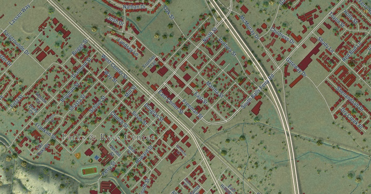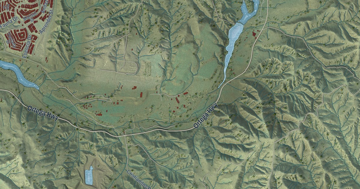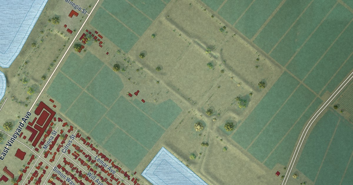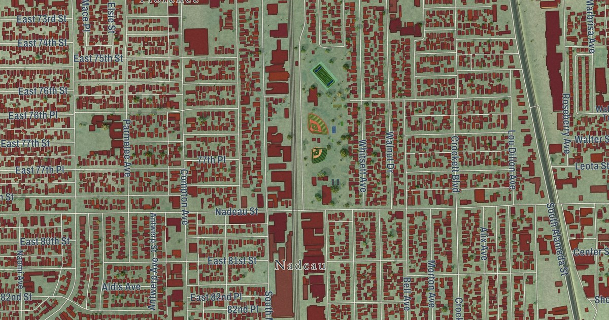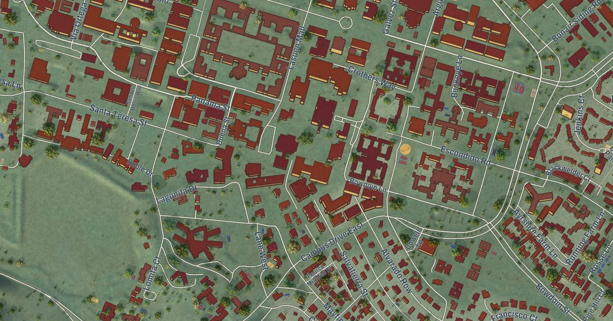
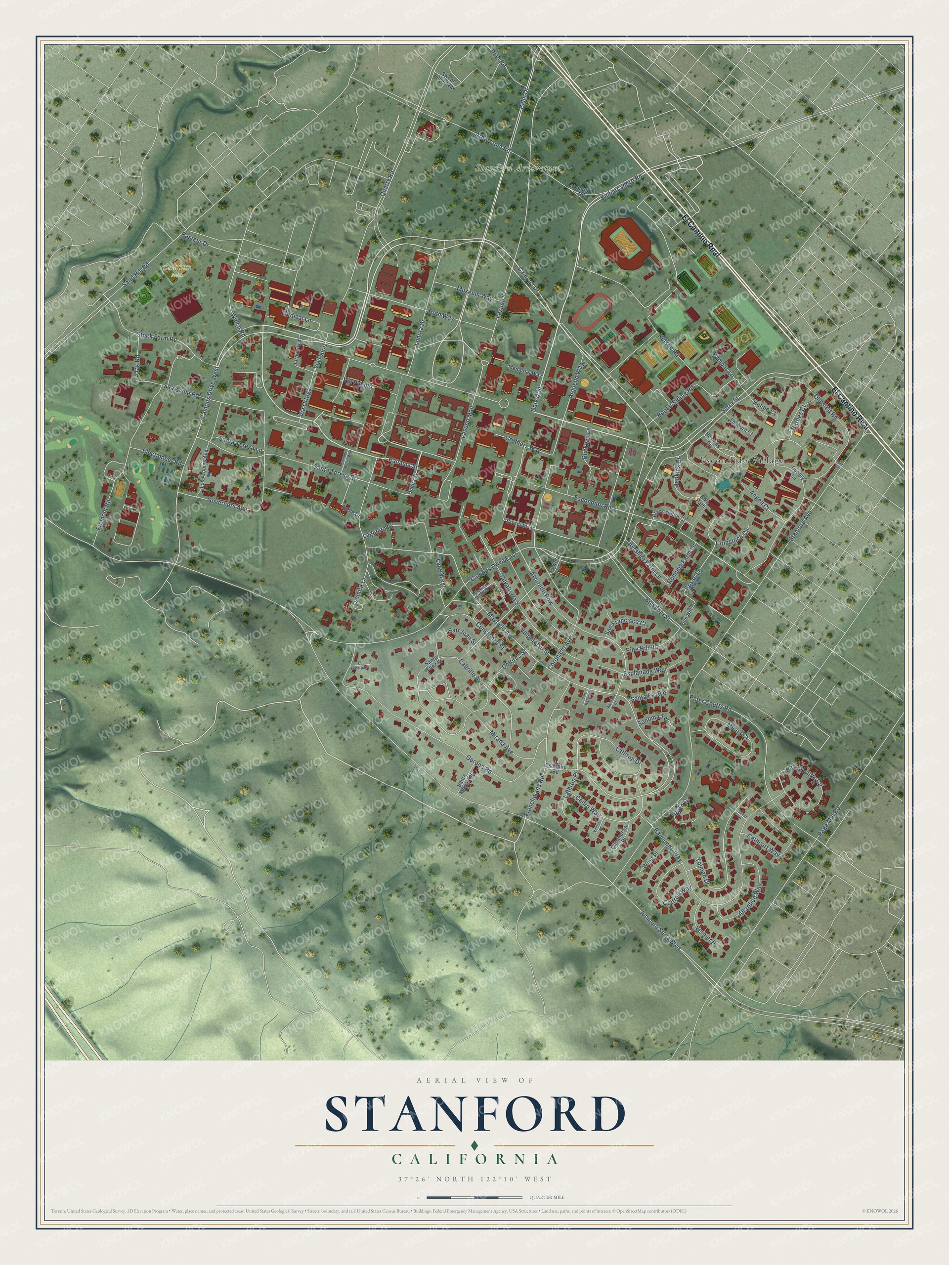
This beautifully detailed map of Stanford, California was created in 2026 using aerial imagery combined with modern topographical, census, street and landmark data. It's a modern aerial view of Stanford in Santa Clara County, California, that combines modern data with a vintage aesthetic. The roads feature printed names, and if you look closely you can find your exact house accurately shown in its correct location.
Explore an aerial view of Stanford, California
On this map you'll find Stanford Arboretum, Sand Hill Fields, Escondido Village, El Camino Real, Campus Drive, Serra Street, Galvez Street, Panama Street, Embarcadero Road, Palm Drive, Mayfield Avenue, Comstock Circle, and more. Each red shape is a building, so zoom in on the preview and look for yours.
Here is a piece of Stanford history, in the words of the record. The Santa Clara County History puts it this way: "The Thomas Welton Stanford Art Gallery, the first building of the second quadrangle group, was completed in 1917."
Stanford is a community in Santa Clara County. The Census Bureau counted 21,150 people here in 2020.
Take a closer look at the Stanford map
Names on this map
These names are printed on this map.
Places: Stanford Arboretum, Sand Hill Fields and Escondido Village.
Streets and roads: El Camino Real, Campus Drive, Serra Street, Galvez Street, Panama Street, Embarcadero Road, Campus Drive West, Palm Drive, Mayfield Avenue, Comstock Circle, Lasuen Street, Campus Drive East.
More street names, A to Z
Abboretum Road, Allardice Way, Alvarado Court, Alvarado Row, Angell Court, Arboretum Road, Arguello Way, Ayrshire Farm Lane, Barnes Court, Bike Path, Blackwelder Court, Bonair Siding Road, Bowdoin Lane, Bowdoin Street, Buckeye Lane, Cabrillo Avenue, Casanueva Place, Cathcart Way, Cedro Way, Constanzo Street, Coronado Avenue, Cottrell Way, Cowell Lane, Crothers Way, Dolores Street, Dudley Lane, Duena Street, Electioneer Road, El Escarpado, Escondido Road, Esplanada Way, Estudillo Road, Fremont Road, Frenchmans Road, Gerona Road, Governors Avenue, Hoskins Court, Hulme Court, Jenkins Court, Jordan Way, Junipero Serra Boulevard, Lagunita Drive, Lane West, Lasuen Mall, Lathrop Drive, Lathrop Place, Lomita Court, Lomita Drive, Los Arboles Avenue, Mears Court, Medical Lane, Memorial Way, Mirada Avenue, Museum Way, Nelson Road, Oak Road, Olmsted Road, Page Mill Road, Palo Road, Pampas Lane, Pasteur Drive, Pearce Mitchell Place, Peter Coutts Circle, Peter Coutts Road, Pine Hill Court, Pine Hill Road, Quarry Road, Raimundo Way, Roble Drive, Rosse Lane, Roth Way, Running Farm Lane, Ryan Court, Salvatierra Street, Samuel Morris Way, Sand Hill Road, San Francisco Court, San Juan Street, San Rafael Place, Santa Fe Avenue, Santa Maria Avenue, Santa Teresa Lane, Santa Teresa Street, Santa Ynez Street, Searsville Road, Sonoma Terrace, Stanford Avenue, Stock Farm Road, Sweet Olive Way, Thoburn Court, Tolman Drive, Tolman Lane, Valdez Place, Valparaiso Street, Vernier Place, Via Ortega, Via Palou, Via Pueblo, Welch Road, Wing Place, Yale Street.
Created by KNOWOL in 2026. The buildings are small red shapes, the roads carry their printed names, and shaded relief shows the shape of the land. The title panel reads "AERIAL VIEW OF STANFORD CALIFORNIA" with 37°26' NORTH 122°10' WEST.
It suits a den, a classroom or a front hall, and it makes a gift for anyone with Stanford roots. Open the preview and find the block you know. See sizes and frames for the Stanford map.