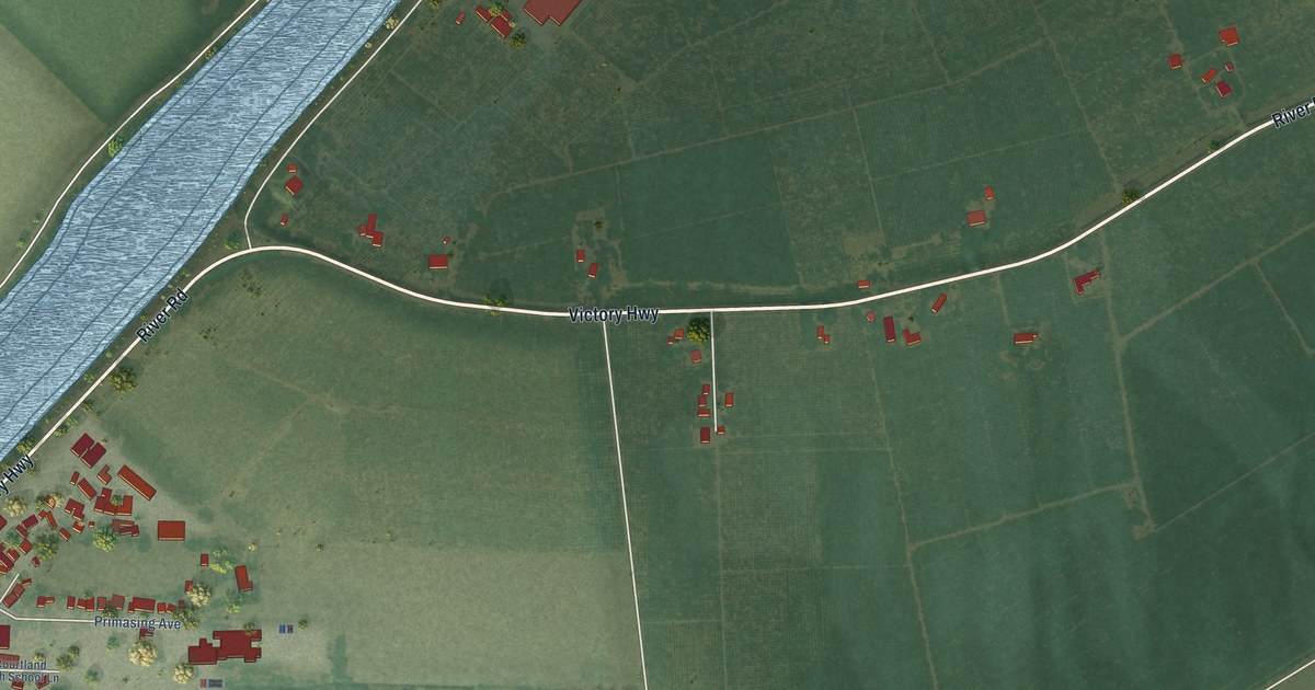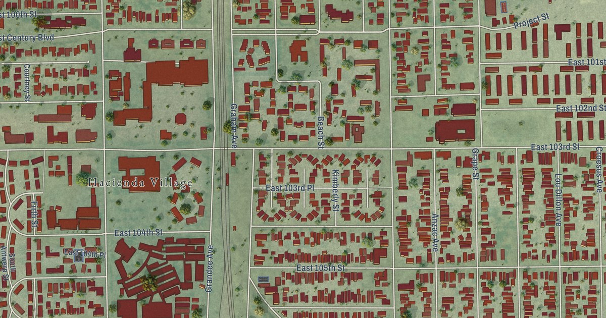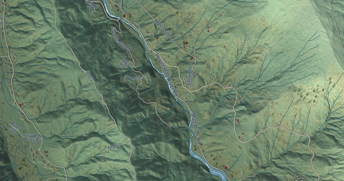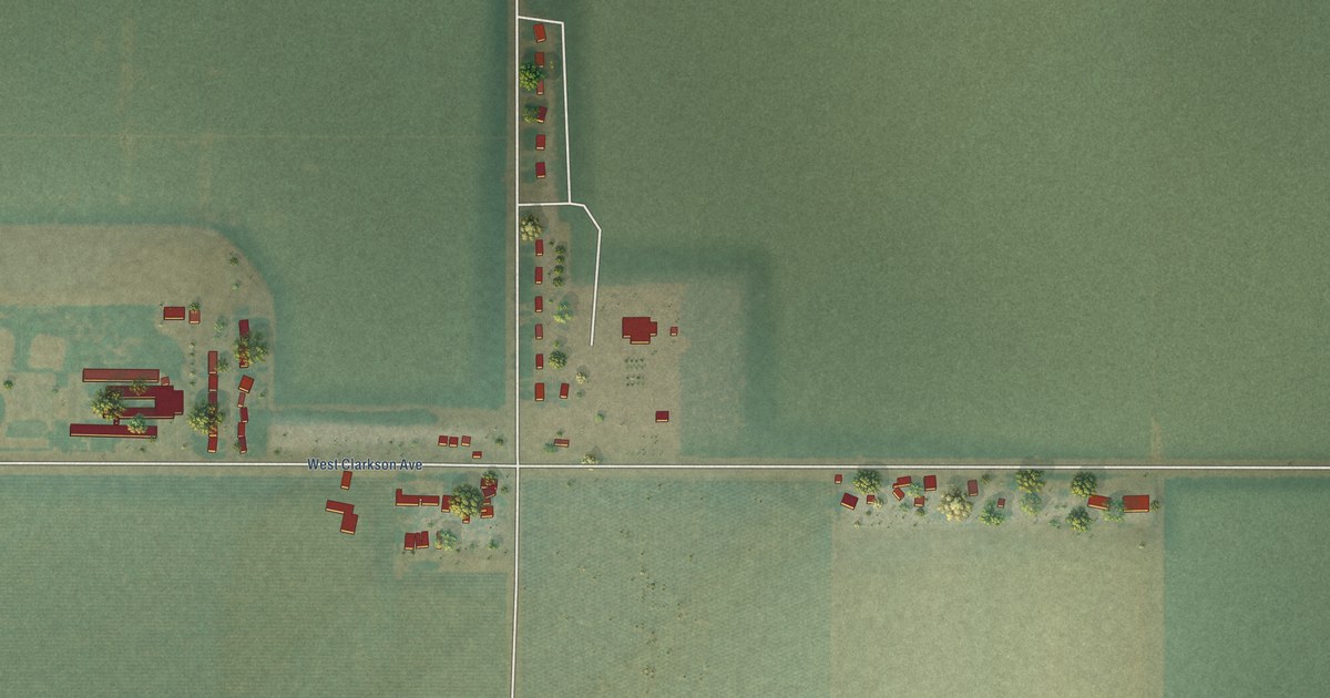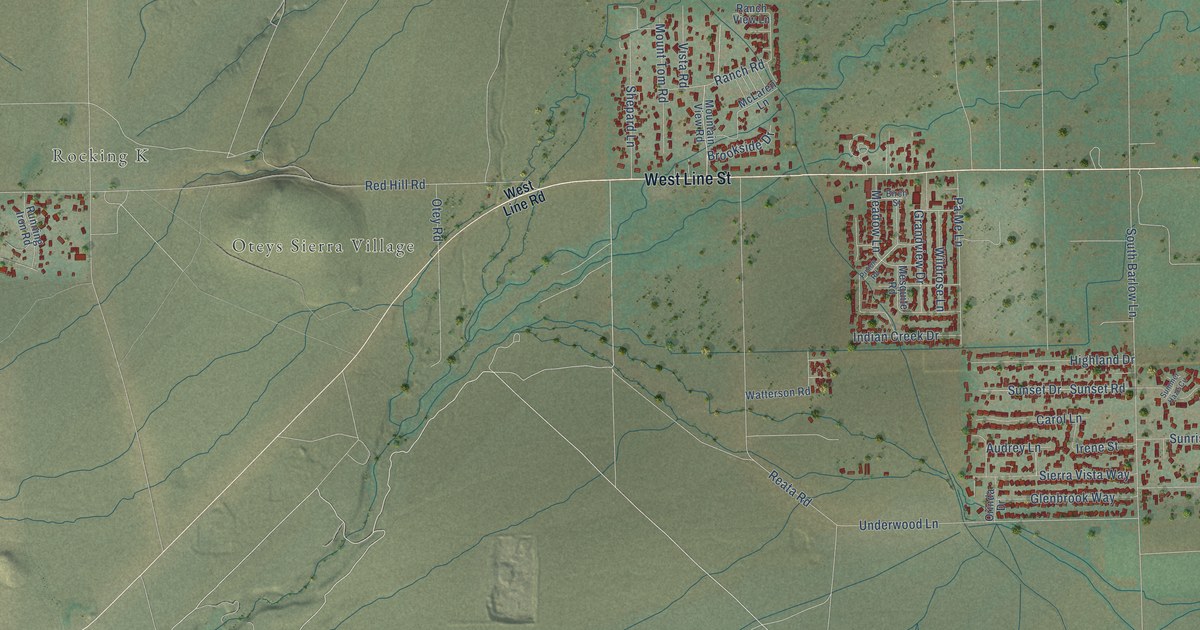
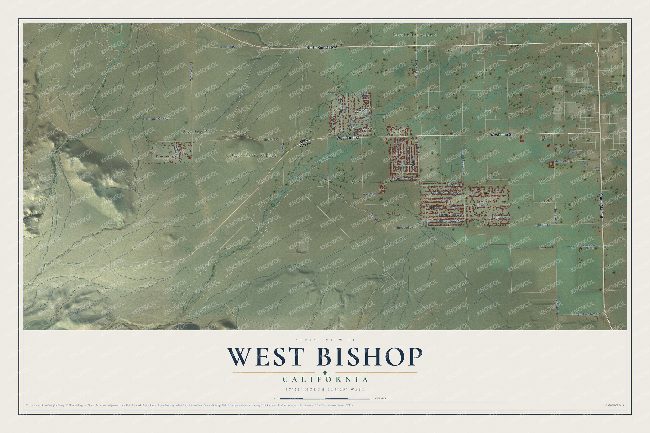
This beautifully detailed map of West Bishop, California was created in 2026 using aerial imagery combined with modern topographical, census, street and landmark data. It's a modern aerial view of West Bishop in Inyo County, California, that combines modern data with a vintage aesthetic. The roads feature printed names, and if you look closely you can find your exact house accurately shown in its correct location.
Explore an aerial view of West Bishop, California
On this map you'll find Oteys Sierra Village, Rocking K, Brockmans Corner, South Main Street, North Sierra Highway, West Line Street, Red Hill Road, South Barlow Lane, Ed Powers Road, Sunland Lane, Schober Lane, Tungsten City Road, and more. Each red shape is a building, so zoom in on the preview and look for yours.
West Bishop has a story worth telling. In 1861 Samuel A. Bishop, his wife and their party drove 650 head of stock from Fort Tejon into the Owens Valley. On August 22 they reached the creek later named for him, and there they set up the San Francis Ranch, where settlers and Paiute chiefs signed a peace treaty. That's from the California Office of Historic Preservation.
West Bishop is a community in Inyo County. The Census Bureau counted 2,754 people here in 2020.
Take a closer look at the West Bishop map
Names on this map
These names are printed on this map.
Places: Oteys Sierra Village, Rocking K and Brockmans Corner.
Streets and roads: South Main Street, North Sierra Highway, West Line Street, Red Hill Road, South Barlow Lane, Ed Powers Road, Sunland Lane, Schober Lane, Tungsten City Road, Reata Road, Brockman Lane, Sunset Drive.
More street names, A to Z
Audrey Lane, Birch Street, Bishop Country Club Road, Brookside Drive, Carol Lane, Glenbrook Way, Grandview Drive, Highland Drive, Indian Creek Drive, Irene Street, Longview Drive, Mandich Street, McLaren Lane, Meadow Lane, Mesquite Road, Mountain View Road, Mount Tom Road, Orinda Drive, Otey Road, Pa Me Lane, Pinion Road, Ranch Road, Ranch View Lane, Running Iron Road, Sawmill Road, Shepard Lane, Sierra Vista Way, Snow Circle, South Fowler Street, Summer Haze Circle, Sunland Drive, Sunland Res Road, Sunrise Lane, Sunset Road, Underwood Lane, Vista Road, Watterson Road, West Jay Street, West Line Road, West South Street, Wildrose Lane.
See it on a wall
The West Bishop map as a framed print. Swipe for more.


Created by KNOWOL in 2026. The buildings are small red shapes, the roads carry their printed names, and shaded relief shows the shape of the land. The title panel reads "AERIAL VIEW OF WEST BISHOP, CALIFORNIA" with 37°21' NORTH 118°29' WEST.
It looks right in a kitchen, an office or a den, and it's a gift for anyone who grew up in West Bishop or moved away. Open the preview and find your street. See sizes and frames for the West Bishop map.