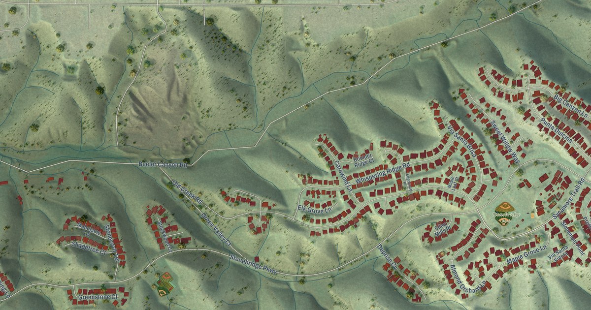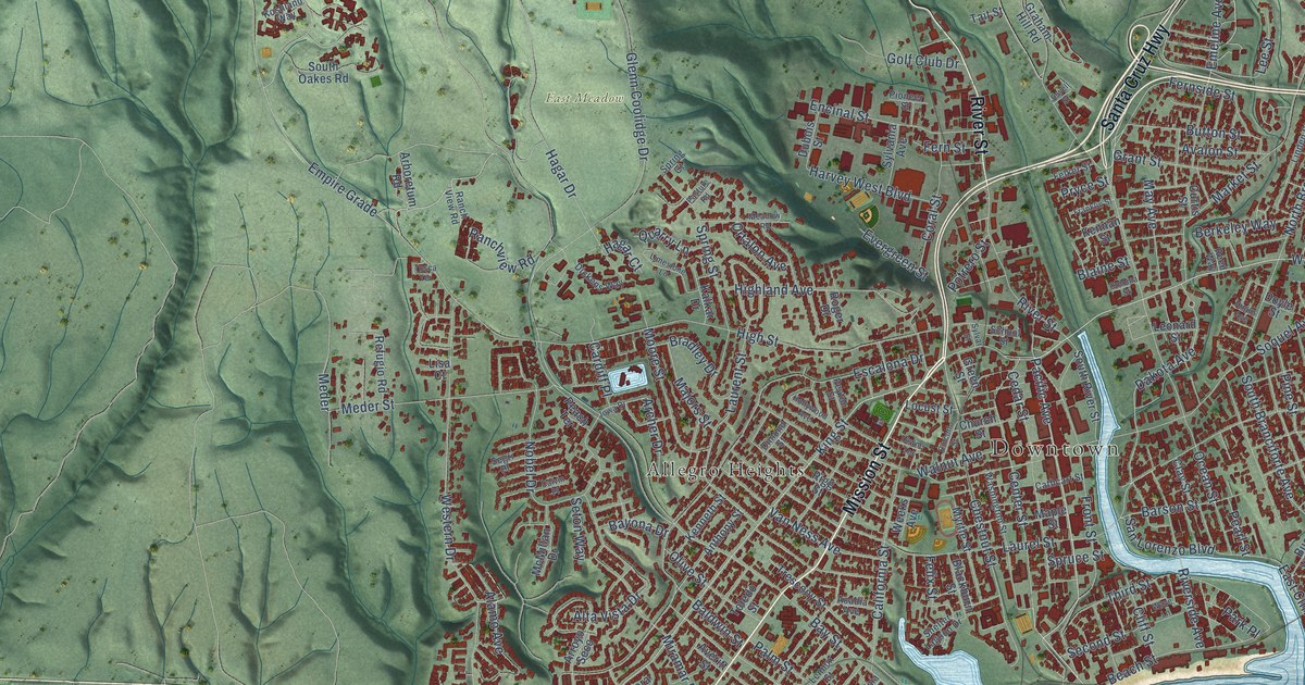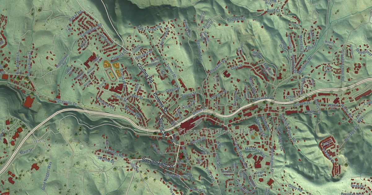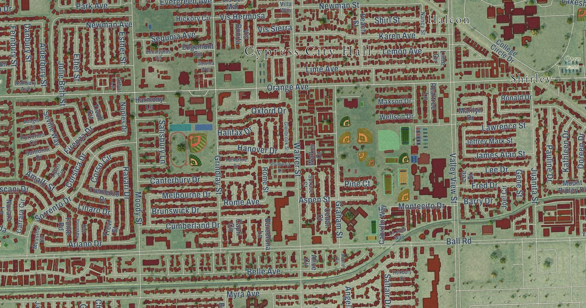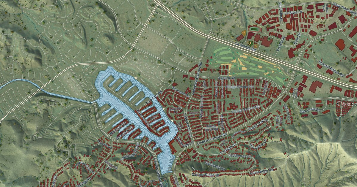
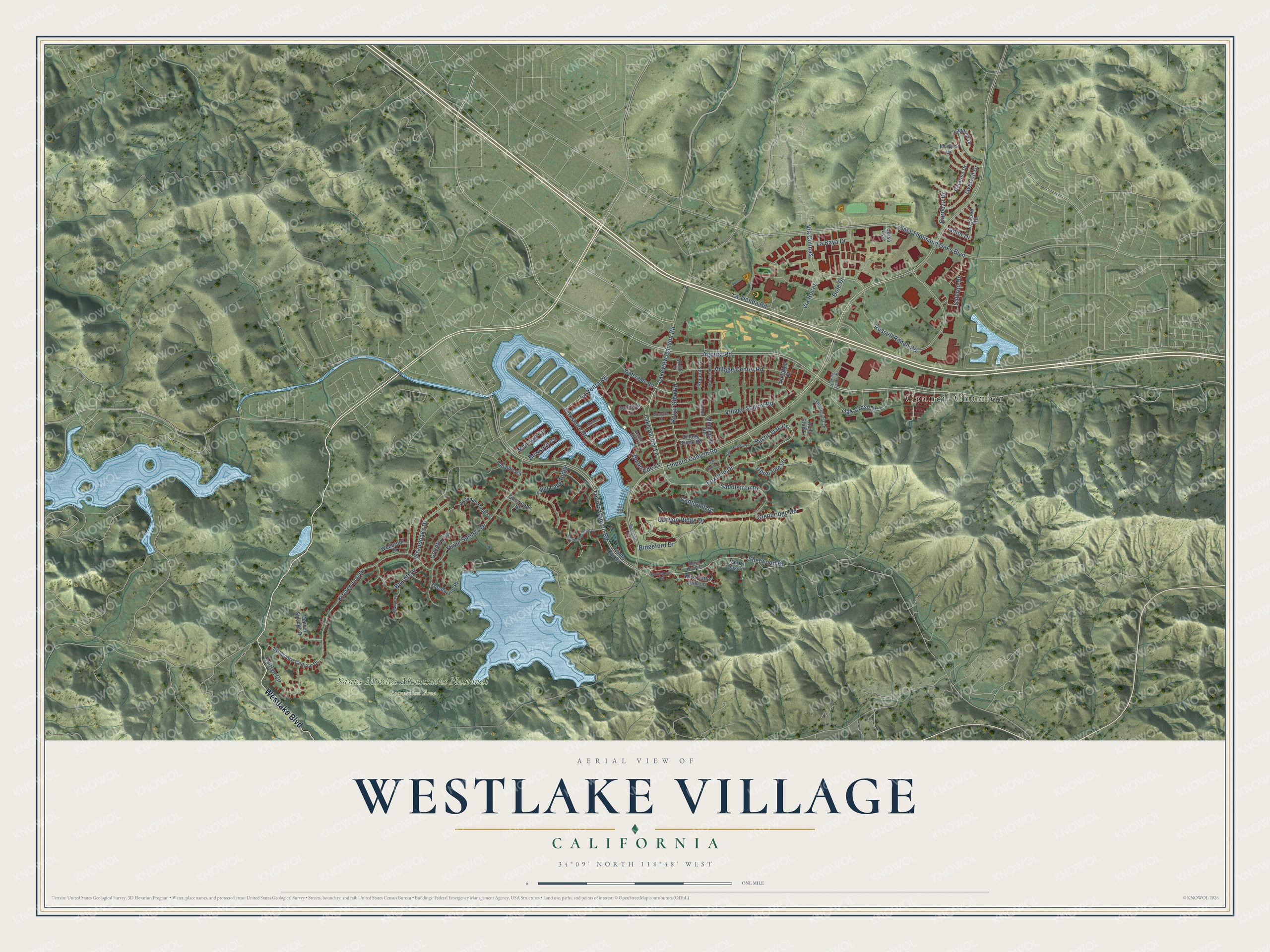
This beautifully detailed map of Westlake Village, California was created in 2026 using aerial imagery combined with modern topographical, census, street and landmark data. It's a modern aerial view of Westlake Village in Los Angeles County, California, that combines modern data with a vintage aesthetic. The roads feature printed names, and if you look closely you can find your exact house accurately shown in its correct location.
Explore an aerial view of Westlake Village, California
On this map you'll find Council Chamber, Santa Monica Mountains National Recreation Area, Westlake Boulevard, Foxfield Drive, Lakeview Canyon Road, Rustic Oak Drive, Triunfo Canyon Road, Russell Ranch Road, Agoura Road, Oak Crest Drive, Ridgeford Drive, Via Colinas, and more. Each red shape is a building, so zoom in on the preview and look for yours.
Westlake Village is a city in Los Angeles County. The Census Bureau counted 8,029 people here in 2020. The map prints the town name in its title panel, with the coordinates below it.
Take a closer look at the Westlake Village map
Names on this map
These names are printed on this map.
Places: Council Chamber and Santa Monica Mountains National Recreation Area.
Streets and roads: Westlake Boulevard, Foxfield Drive, Lakeview Canyon Road, Rustic Oak Drive, Triunfo Canyon Road, Russell Ranch Road, Agoura Road, Oak Crest Drive, Ridgeford Drive, Via Colinas, Sherwood Drive, La Tienda Road.
More street names, A to Z
Barrett Drive, Bayshore Drive, Beach Lake Lane, Beaconsfield Court, Beaucroft Court, Blue Meadow Lane, Bowman Knoll Drive, Bowsprit Circle, Caitlyn Circle, Canterhill Place, Canyon Ridge Drive, Cardoza Drive, Catarina Drive, Corsa Avenue, Country Lane, Denver Springs Drive, Dole Drive, East Thousand Oaks Boulevard, Fallview Road, Germaine Lane, Glenbridge Road, Grandoaks Drive, Grenville Court, Guildhall Court, Hunt Club Lane, Janlor Drive, Kirsten Lee Drive, La Baya Drive, Lake Harbor Lane, Landino Drive, La Venta Road, Lindero Canyon Road, Logwood Road, Mainsail Circle, Mariner Circle, Memory Lane, Merry Oak Lane, Middlegate Road, Mingus Drive, Nottingham Road, Oak Ranch Court, Oakshore Drive, Overfall Drive, Regents Court, Robin Hood Lane, Royal Glen Road, Saddlecrest Lane, Saddle Mountain Drive, Saddletree Drive, Sailview Lane, Salerno Drive, Snowpeak Drive, Sterling Center Drive, Sycamore Canyon Drive, Three Springs Drive, Torchwood Place, Triunfo Cyn Road, Twin Lake Ridge, Via Rocas, Village Brook Road, Village Center Road, Village School Road, Watergate Road, Waterside Lane, Wellbrook Drive, West Little John Lane, Wolsey Court.
Created by KNOWOL in 2026. The buildings are small red shapes, the roads carry their printed names, and shaded relief shows the shape of the land. The title panel reads "AERIAL VIEW OF WESTLAKE VILLAGE CALIFORNIA" with 34°09' NORTH 118°48' WEST.
It suits a den, a classroom or a front hall, and it makes a gift for anyone with Westlake Village roots. Open the preview and find the block you know. See sizes and frames for the Westlake Village map.