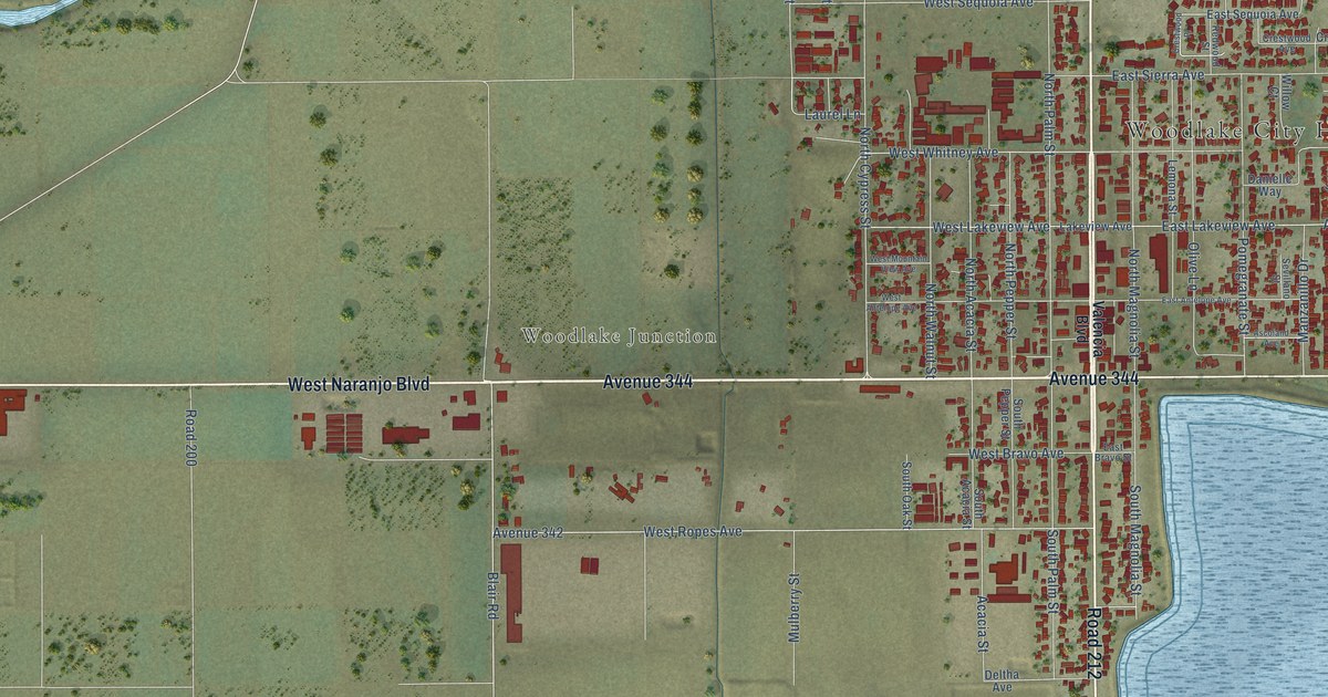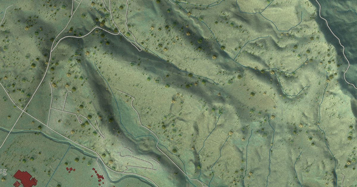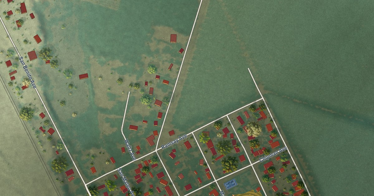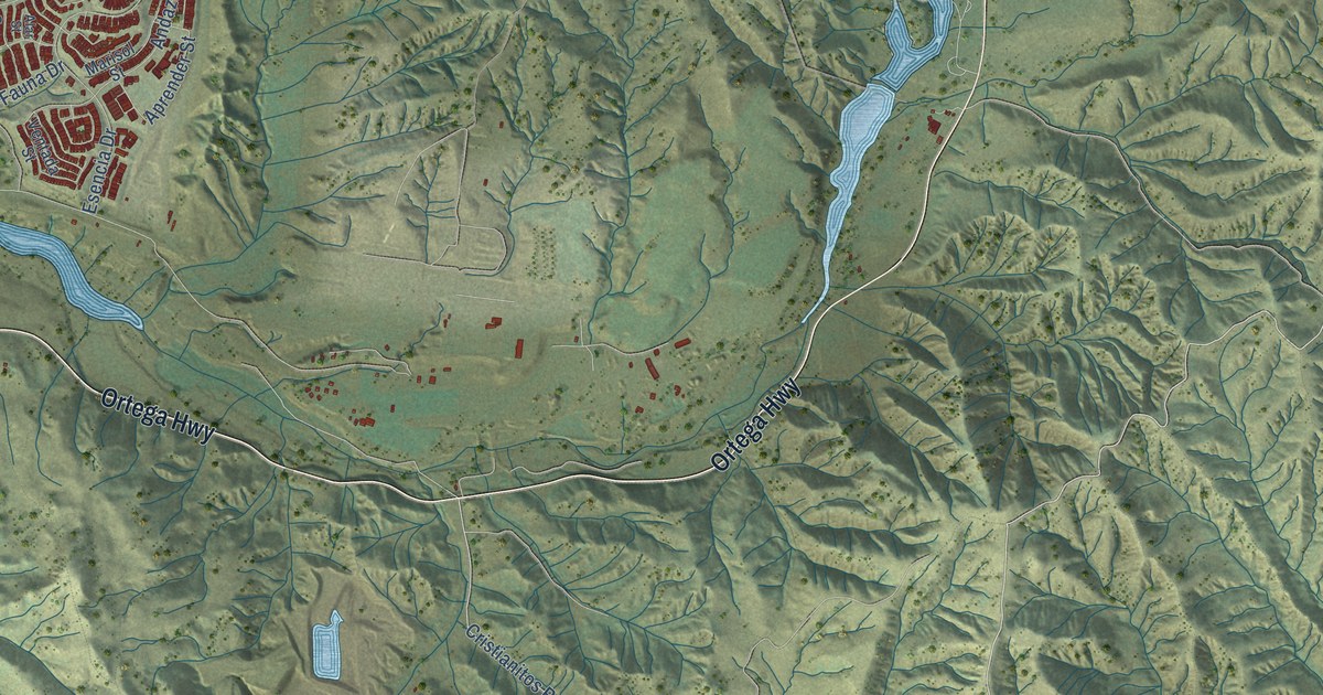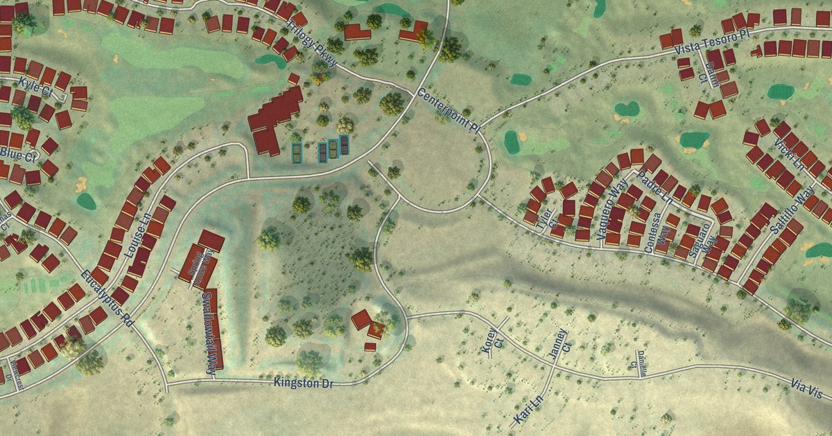
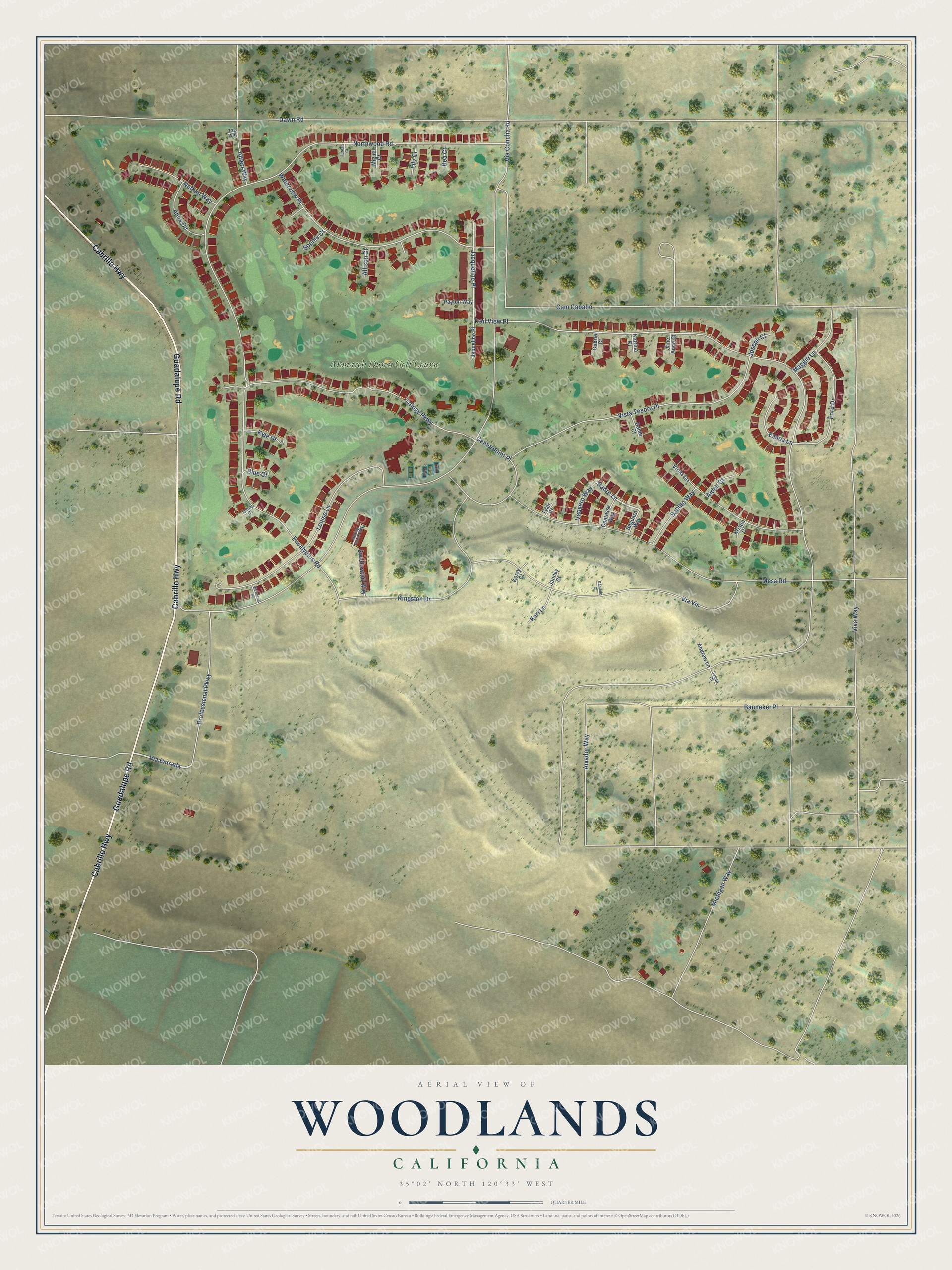
This beautifully detailed map of Woodlands, California was created in 2026 using aerial imagery combined with modern topographical, census, street and landmark data. It's a modern aerial view of Woodlands in San Luis Obispo County, California, that combines modern data with a vintage aesthetic. The roads feature printed names, and if you look closely you can find your exact house accurately shown in its correct location.
Explore an aerial view of Woodlands, California
On this map you'll find Monarch Dunes Golf Course, Cabrillo Highway, Guadalupe Road, Amador Way, Via Entrada, Padre Lane, Trail View Place, Via Concha Road, Northwood Road, Cam Caballo, Dawn Road, Eucalyptus Road, and more. Each red shape is a building, so zoom in on the preview and look for yours.
Woodlands is a community in San Luis Obispo County. The Census Bureau counted 1,933 people here in 2020. Woodlands sits about 2 miles southwest of Blacklake, 2 miles southeast of Callender and 3 miles west of Nipomo. The map prints the town name in its title panel, with the coordinates below it.
Take a closer look at the Woodlands map
Names on this map
These names are printed on this map.
Places: Monarch Dunes Golf Course.
Streets and roads: Cabrillo Highway, Guadalupe Road, Amador Way, Via Entrada, Padre Lane, Trail View Place, Via Concha Road, Northwood Road, Cam Caballo, Dawn Road, Eucalyptus Road, Viva Way.
More street names, A to Z
Aiden Court, Albert Way, Allison Court, Andrew Lane, Anna Circle, Banneker Place, Bea Court, Blue Court, Centerpoint Place, Contessa Way, Danielle Court, Danni Court, Emma Lane, Ford Drive, Gabriel Court, Jacqueline Place, Jane Anne Court, Janney Court, Jaqueline Place, Jordan Court, Joseph Court, Kari Lane, Katrina Court, Kingston Drive, Korey Court, Kristin Court, Kyle Court, Lily Court, Louise Lane, Maggie Lane, Mesa Road, Michigan Way, Miguel Court, Nathan Way, Payton Way, Professional Parkway, Saguaro Way, Saltillo Way, Sophie Court, Spring Azure Way, Susan Court, Swallowtail Way, Tag Way, Tomas Court, Trilogy Parkway, Tyler Court, Vaquero Way, Via Vis, Vicki Lane, Viewcrest Drive, Vista Tesoro Place, Waterview Place.
See it on a wall
The Woodlands map as a framed print. Swipe for more.


Created by KNOWOL in 2026. The buildings are small red shapes, the roads carry their printed names, and shaded relief shows the shape of the land. The title panel reads "AERIAL VIEW OF WOODLANDS, CALIFORNIA" with 35°02' NORTH 120°33' WEST.
Hang it in the hallway, the office or the cabin, or give it to someone who left Woodlands and still calls it home. Open the preview and look for a street you know. See sizes and frames for the Woodlands map.