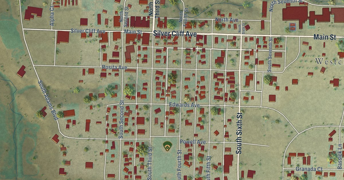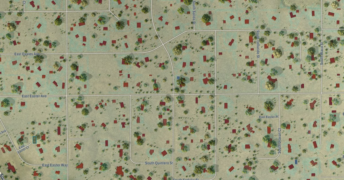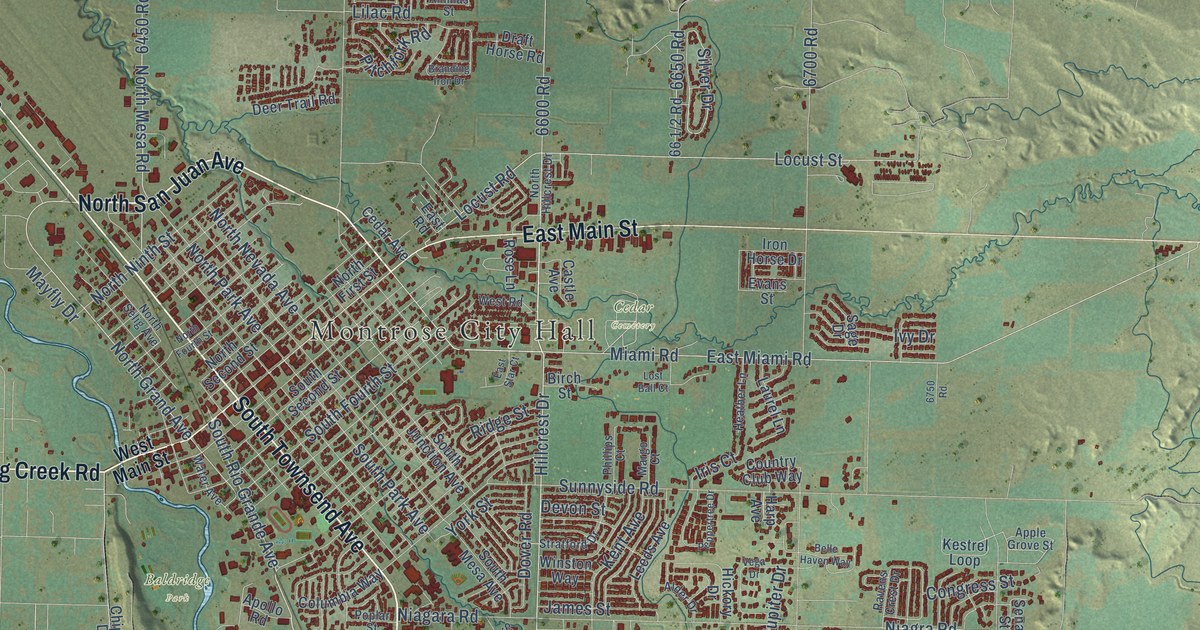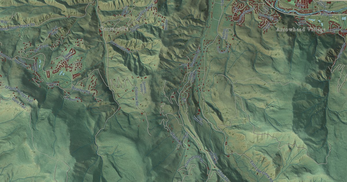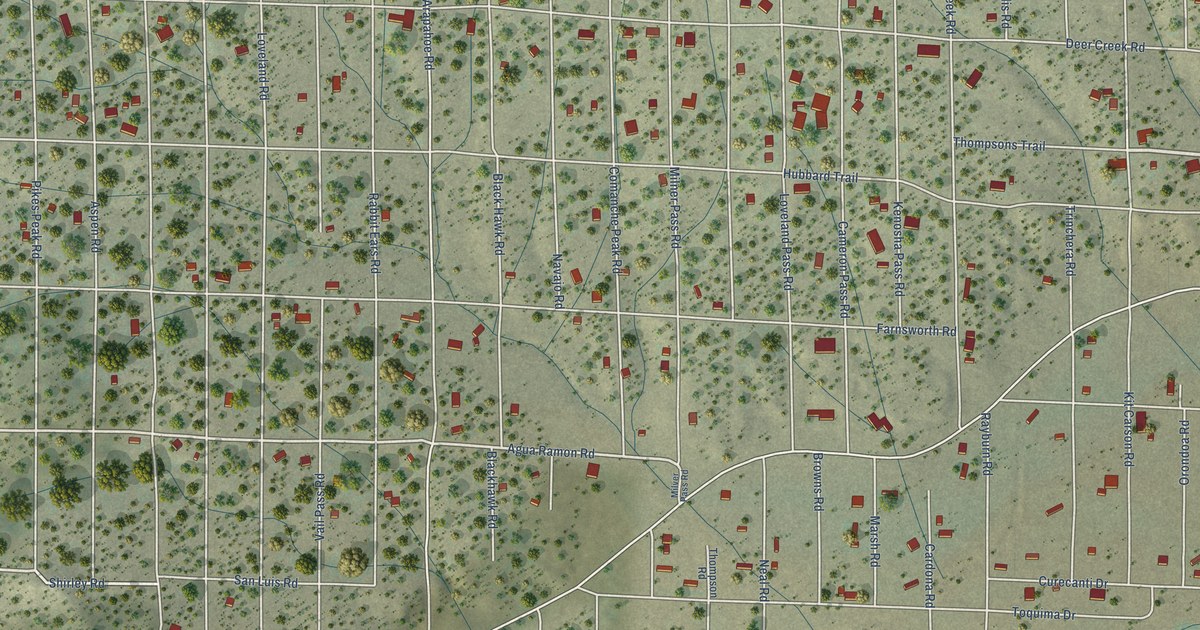
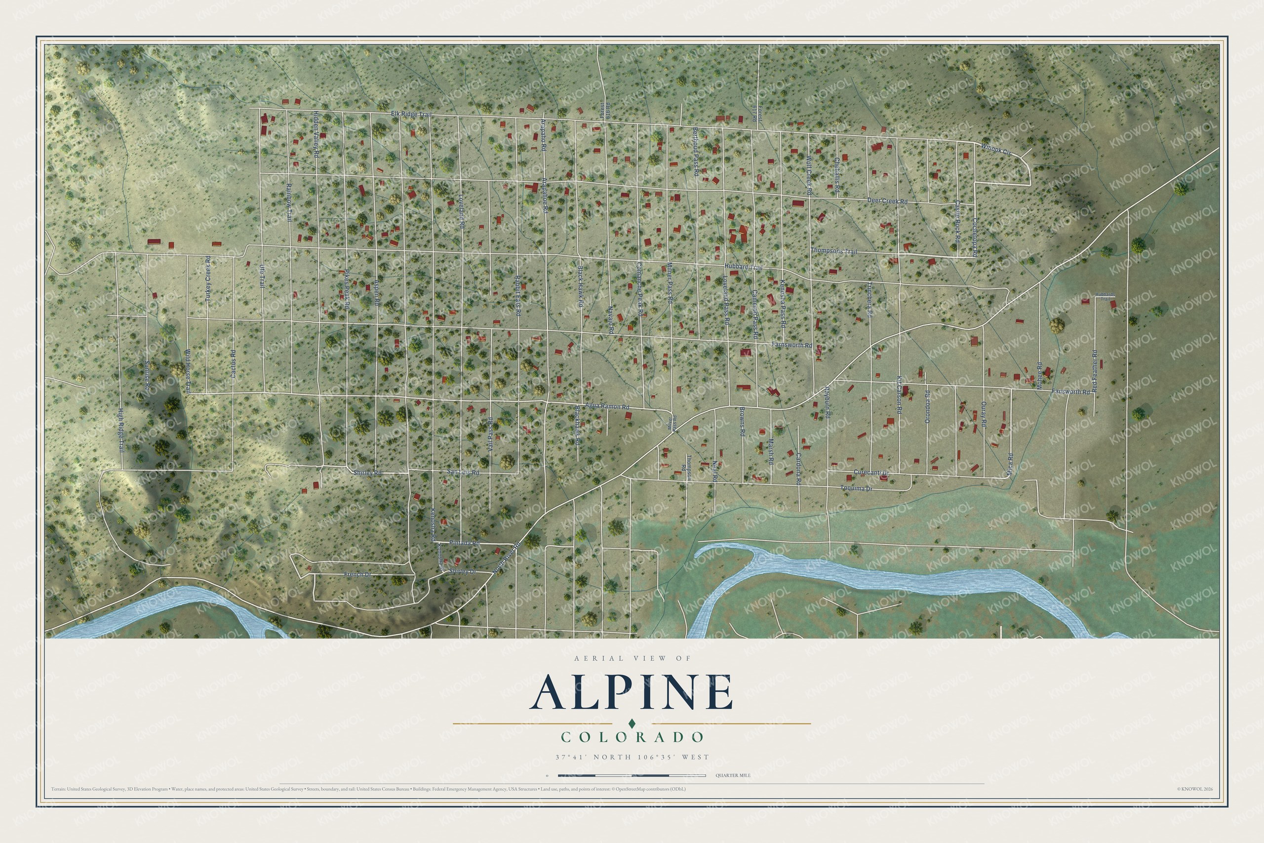
This beautifully detailed map of Alpine, Colorado was created in 2026 using aerial imagery combined with modern topographical, census, street and landmark data. It's a modern aerial view of Alpine in Rio Grande County, Colorado, that combines modern data with a vintage aesthetic. The roads feature printed names, and if you look closely you can find your exact house accurately shown in its correct location.
Explore an aerial view of Alpine, Colorado
On this map you'll find Thompsons Trail, Winook Circle, Cochetopa Road, Mohee Road, Pintada Road, Rainbow Trail, Mica Road, San Luis Road, Shirley Road, Agua Ramon Road, Hubbard Trail, Farnsworth Road, and more. Each red shape is a building, so zoom in on the preview and look for yours.
Alpine is a community in Rio Grande County. The Census Bureau counted 169 people here in 2020. The map prints the town name in its title panel, with the coordinates below it.
Take a closer look at the Alpine map
Names on this map
These names are printed on this map.
Streets and roads: Thompsons Trail, Winook Circle, Cochetopa Road, Mohee Road, Pintada Road, Rainbow Trail, Mica Road, San Luis Road, Shirley Road, Agua Ramon Road, Hubbard Trail, Farnsworth Road.
More street names, A to Z
Arapahoe Road, Arapaho Road, Aspen Road, Berthoud Pass Road, Black Hawk Road, Blackhawk Road, Browns Road, Cactus Road, Cameron Pass Road, Cardona Road, Castle Rock Road, Chehallis Road, Comanche Peak Road, Curecanti Drive, Deer Creek Road, Elk Ridge Trail, Fansworth Road, Forest 616 Road, Forest 617 Road, French Drive, Hidden Valley Road, High Ridge Trail, Hubbards Trail, Kenosha Pass Road, Kenosha Road, Kit Carson Road, Konosha Street, Loveland Pass Road, Loveland Road, Marsh Road, Milner Pass Road, Milver Pass Road, Navajo Road, Neal Road, North River Road, Orondoa Road, Ouray Road, Pikes Peak Road, Rabbit Ears Road, Rayburn Road, Red Feather Road, Shirley Drive, Sunrise Road, Thompson Road, Toquima Drive, Trinchera Road, Turkey Creek Road, Ute Trail, Vail Pass Road, Wild Horse Trail, Wolf Creek Road.
See it on a wall
The Alpine map as a framed print. Swipe for more.


Created by KNOWOL in 2026. The buildings are small red shapes, the roads carry their printed names, and shaded relief shows the shape of the land. The title panel reads "AERIAL VIEW OF ALPINE, COLORADO" with 37°41' NORTH 106°35' WEST.
It suits a den, a classroom or a front hall, and it makes a gift for anyone with Alpine roots. Open the preview and find the block you know. See sizes and frames for the Alpine map.