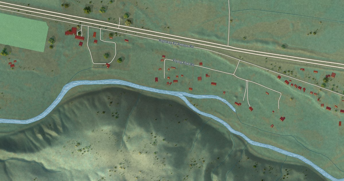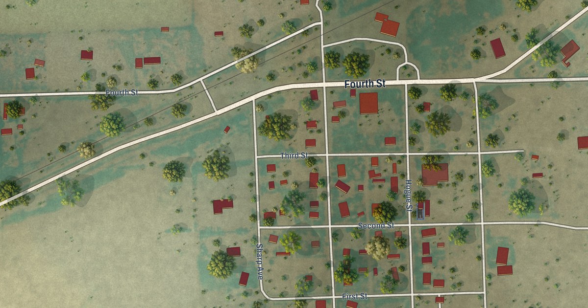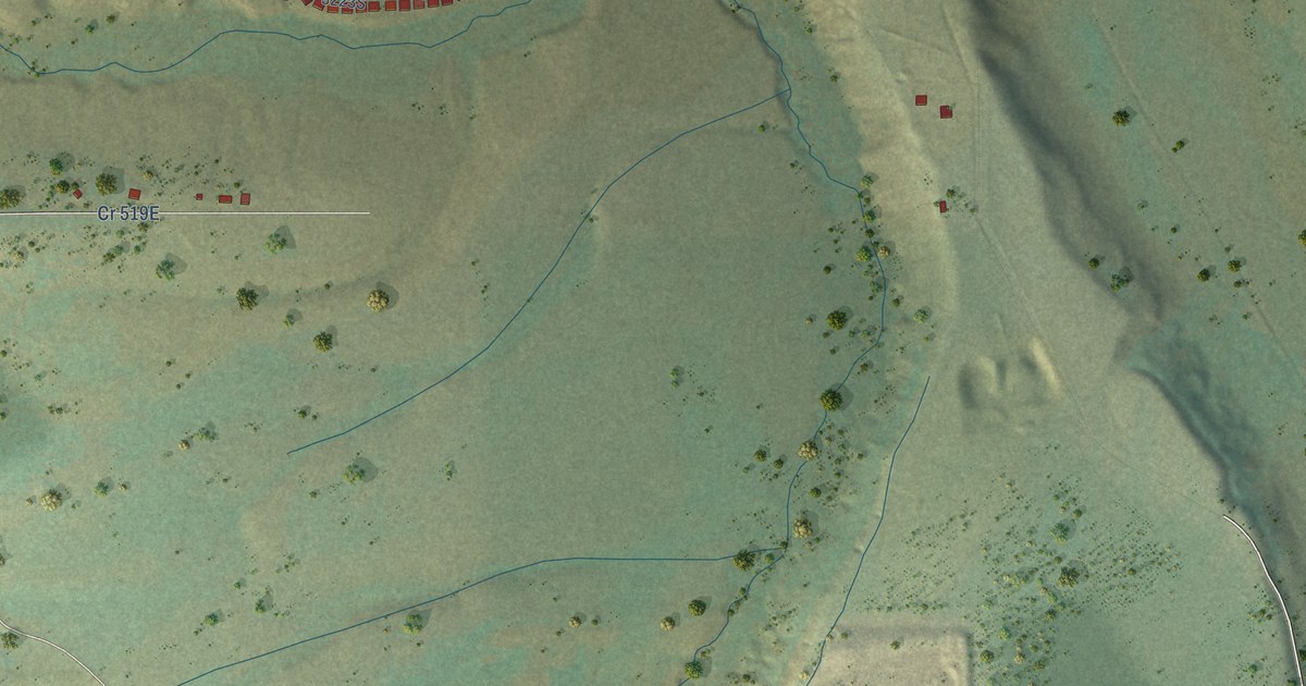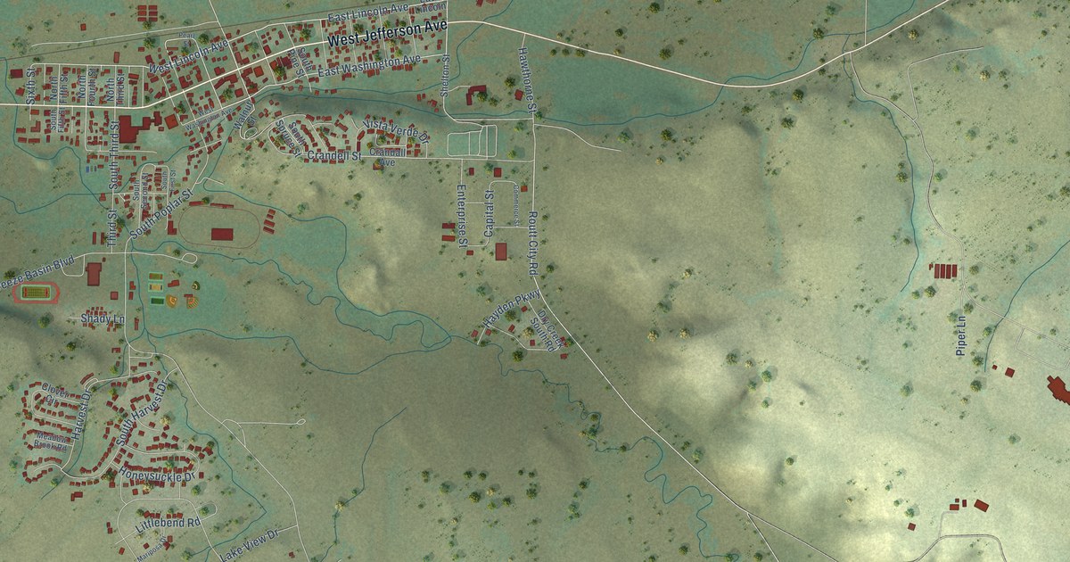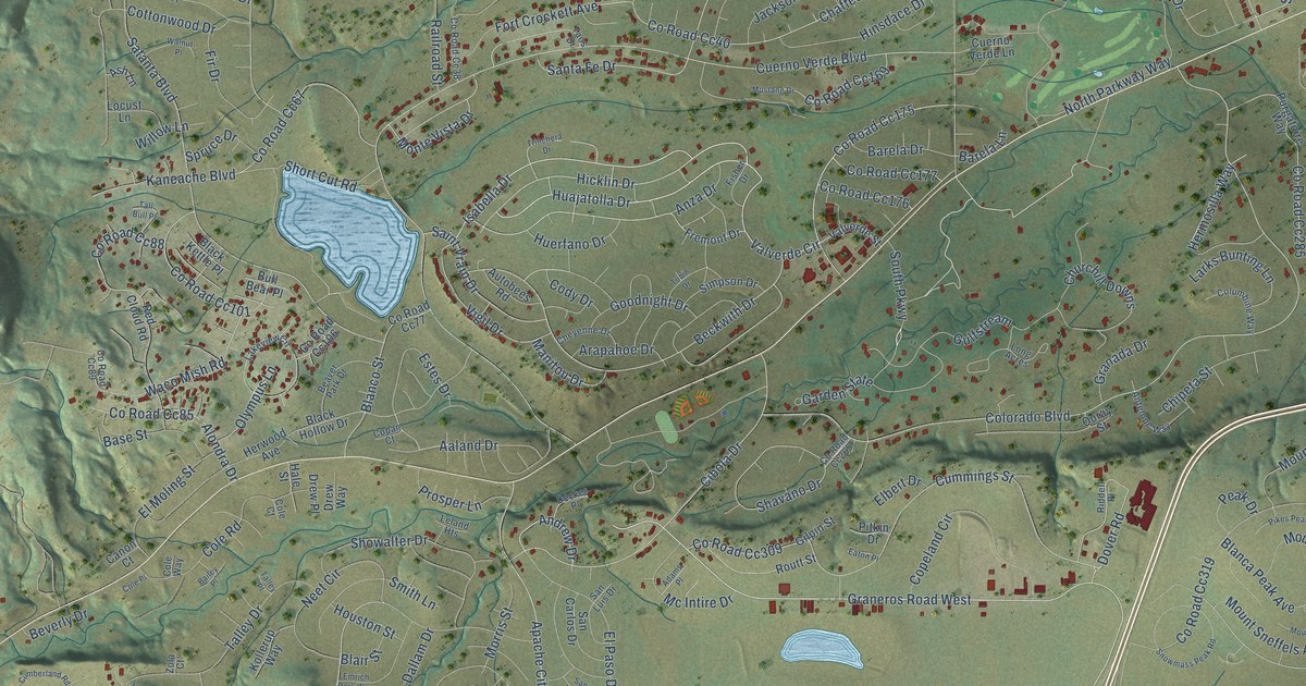
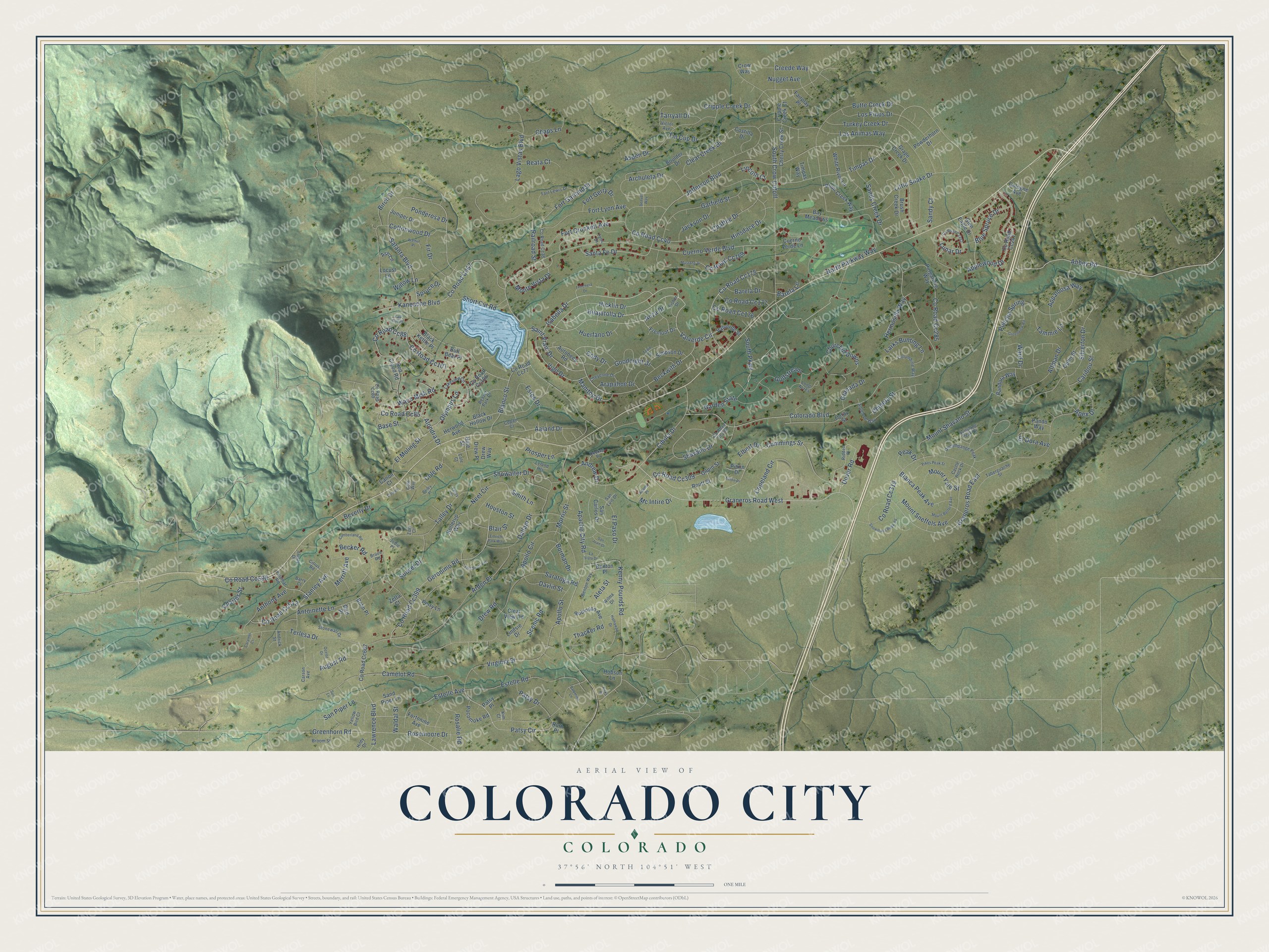
This beautifully detailed map of Colorado City, Colorado was created in 2026 using aerial imagery combined with modern topographical, census, street and landmark data. It's a modern aerial view of Colorado City in Pueblo County, Colorado, that combines modern data with a vintage aesthetic. The roads feature printed names, and if you look closely you can find your exact house accurately shown in its correct location.
Explore an aerial view of Colorado City, Colorado
On this map you'll find Graneros Road West, Beckwith Drive, Aaland Drive, Huajatolla Drive, Hicklin Drive, Patsy Circle, Valverde Circle, Abbey Road, Isabella Drive, Co Road Cc175, South Parkway, Timpas Drive, and more. Each red shape is a building, so zoom in on the preview and look for yours.
Colorado City has a story worth telling. Colorado City was planned on the Greenhorn as a cluster of villages for 10,000 families seeking rural living, on old Hicklin Ranch land owned by the Colorado City Development Company. It revived the name of the first Colorado City, born in the gold rush at the foot of Pikes Peak, which became the first capital of Colorado Territory. That's from the Colorado historian Ralph C. Taylor.
Colorado City is a community in Pueblo County. The Census Bureau counted 2,237 people here in 2020.
Take a closer look at the Colorado City map
Names on this map
These names are printed on this map.
Streets and roads: Graneros Road West, Beckwith Drive, Aaland Drive, Huajatolla Drive, Hicklin Drive, Patsy Circle, Valverde Circle, Abbey Road, Isabella Drive, County Road Cc175, South Parkway, Timpas Drive.
More street names, A to Z
Adams Place, Aleta Street, Alondra Drive, Altman Drive, Andrew Drive, Andrick Street, Antelope Way, Anthony Avenue, Antoinette Lane, Anza Drive, Apache City Road, Apex Drive, Apollo Circle, Apollo Street, Appaloosa Way, Applewood Drive, Arapahoe Drive, Archuleta Drive, Arden Place, Ash Lane, Aspen Drive, August Road, Autobees Road, Bailey Place, Bandora Way, Barela Drive, Barela Lane, Barry Court, Base Street, Bay Meadows, Beaver Park Drive, Becker Road, Benton Place, Benton Way, Beverly Drive, Birch Drive, Bird Place, Black Hollow Drive, Black Kettle Place, Blair Street, Blanca Peak Avenue, Blanco Street, Blue Spruce Drive, Bohn Place, Borman Drive, Boulder Drive, Broom Street, Bruce Road, Brush Creek Drive, Bull Bear Place, Butte Creek Drive, Camelot Road, Canon Court, Caramel Court, Caribou Street, Carson Avenue, Castle Rock Drive, Chaffee Drive, Chaps Lane, Charles Street, Cherry Creek Street, Cheyenne Drive, Chipeta Street, Churchill Downs, Cibola Drive, Citrus Road, Clear Creek Drive, Clear View Road, Cody Drive, Cole Court, Cole Place, Cole Road, Cole Way, Cologne Avenue, Colorado Boulevard, Columbine Way, Copan Court, Copeland Circle, Costilla Drive, Cottonwood Drive, County Road Cc38, County Road Cc40, County Road Cc67, County Road Cc77, County Road Cc85, County Road Cc88, County Road Cc89, County Road Cc101, County Road Cc106, County Road Cc169, County Road Cc176, County Road Cc177, County Road Cc247, County Road Cc252, County Road Cc265, County Road Cc285, County Road Cc309, County Road Cc319, County Road Cc399, County Road Cc508, County Road Cc512, County Road Cc607, Creede Way, Cripple Creek Court, Cripple Creek Drive, Crow Way, Cuerno Verde Boulevard, Cuerno Verde Lane, Cumberland Road, Cummings Street, Dallam Drive, Davlin Street, Decker Place, Denver Way, Dover Road, Drew Place, Drew Road, Drew Way, Eaton Place, Elbert Drive, El Dora Avenue, El Moling Street, El Paso Drive, Emrich Park Way, Estelle Avenue, Estelle Road, Estes Drive, Fairplay Place, Fir Drive, Fisher Drive, Fort Crockett Avenue, Fort Garland Street, Fort Gerry Drive, Fort Lewis Drive, Fort Lyon Avenue, Fortonine Avenue, Fort Scott Avenue, Fremont Drive, Garden State, Garfield Street, Geronimo Road, Gilpin Street, Glen Eagle Drive, Goodnight Drive, Granada Drive, Graneros Road East, Grape Creek Drive, Greenhorn Road, Greenview Road, Gulfstream, Hale Street, Hathaway Drive, Hermosilla Way, Herwood Avenue, Hildy Drive, Hinsdace Drive, Hobson Lane, Houston Street, Huerfano Drive, Jackson Drive, Jefferson Boulevard, Jodie Place, Juniper Drive, Kaneache Boulevard, Kenny Pounds Road, Kim Court, Kirks Place, Kollerup Way, Lago Vistas Boulevard, Lakeview Circle, Larks Bunting Lane, Las Animas Way, La Vista Drive, Lawrence Boulevard, Leland Heights, Lincoln Court, Lindsie Drive, Little Snake Drive, Locust Lane, Long Acres, Los Pinos Drive, Lunar Drive, Manitou Drive, Mc Intire Drive, Merritt Avenue, Monte Vista Drive, Morris Street, Mount Belford Avenue, Mount Shavano Street, Mount Sneffels Avenue, Mount Yale Street, Mustang Drive, Neet Circle, North Parkway Way, Nugget Avenue, Ocelot Drive, Olympus Lane, Ophir Street, Ouray Street, Palomino Lane, Palumar Road, Pando Way, Patsy Drive, Patsy Place, Peak Drive, Perry Lane, Pikes Peak Street, Pitkin Drive, Plum Creek Way, Pocomoke Road, Poncha Spring, Ponderosa Drive, Powderhorn Drive, Prosper Lane, Purgatoire Way, Railroad Street, Reata Court, Red Cloud Road, Riddell Place, Robinson Avenue, Rosalie Road, Rosemoore Drive, Routt Street, Ruth Place, Saint Vrain Drive, San Carlos Drive, Sand Piper Lane, Sandy Court, Sandy Creek Drive, San Juan Drive, San Luis Drive, San Piper Lane, Santa Fe Drive, Saratoga Road, Satanta Boulevard, Scenic Road, Shavano Drive, Short Cut Road, Showalter Drive, Silverton Drive, Simpson Drive, Smith Lane, Snowmass Peak Road, South Crow Cutoff, Spruce Drive, Stanley Avenue, Stonewall Drive, Sun Lane, Sunset Drive, Sunshine Peak Drive, Taberguache Street, Tall Bull Place, Talley Drive, Talley Place, Tammie Lane, Taos Drive, Tarryall Drive, Terlesa Drive, Thacker Road, Timpas Way, Tin Cup Drive, Tobin Drive, Trinchera Drive, Trusty Drive, Turkey Creek Drive, Uncampange Peak, Valverde Street, Victor Avenue, Vigil Drive, Virginia Street, Waco Mish Road, Waldal Street, Walnut Place, Ward Drive, White River Lane, Willow Lane, Wilma Drive, Yellow Bird Court, Zetta Court, Zola Court.
See it on a wall
The Colorado City map as a framed print. Swipe for more.


Created by KNOWOL in 2026. The buildings are small red shapes, the roads carry their printed names, and shaded relief shows the shape of the land. The title panel reads "AERIAL VIEW OF COLORADO CITY, COLORADO" with 37°56' NORTH 104°51' WEST.
It looks right in a kitchen, an office or a den, and it's a gift for anyone who grew up in Colorado City or moved away. Open the preview and find your street. See sizes and frames for the Colorado City map.