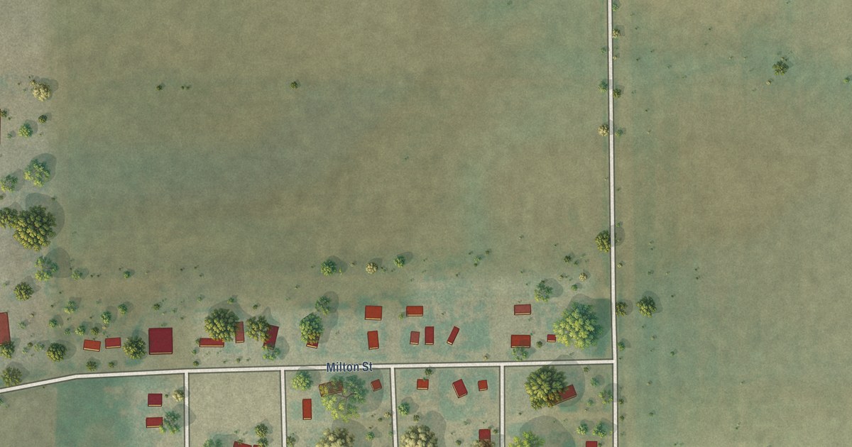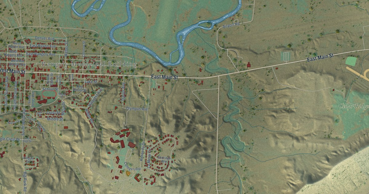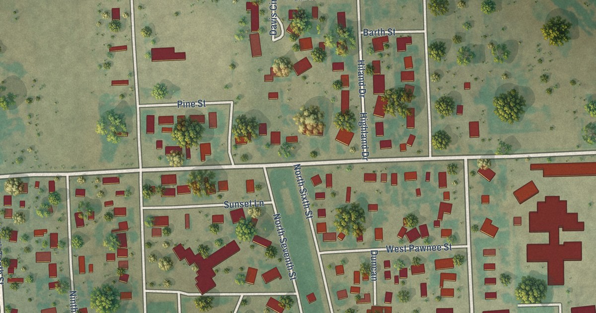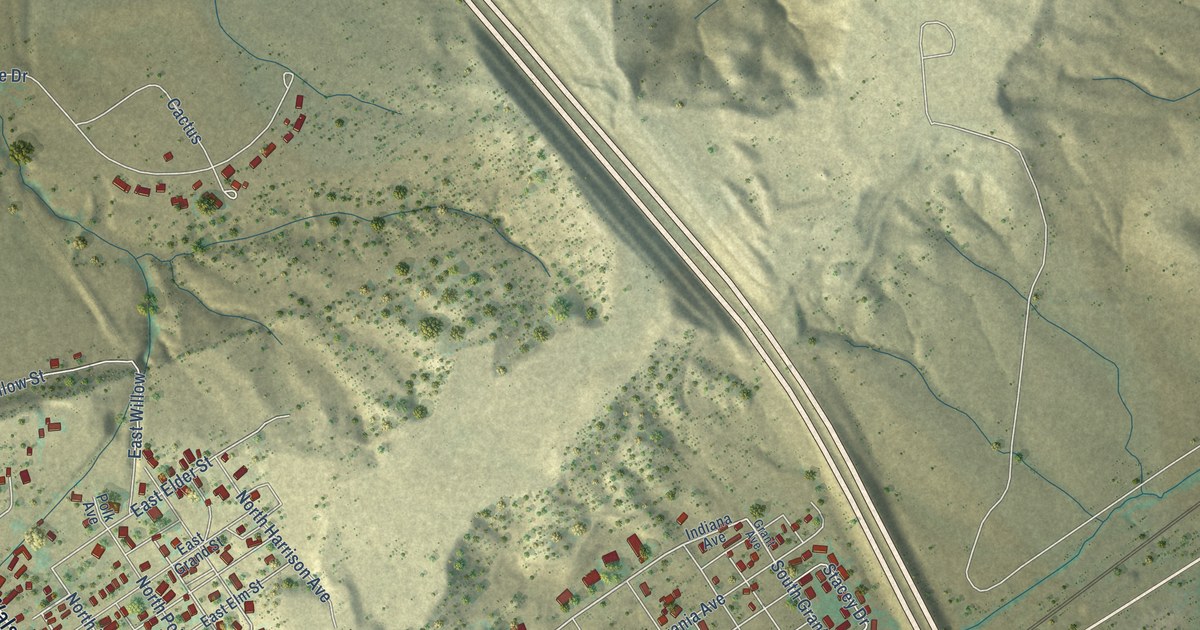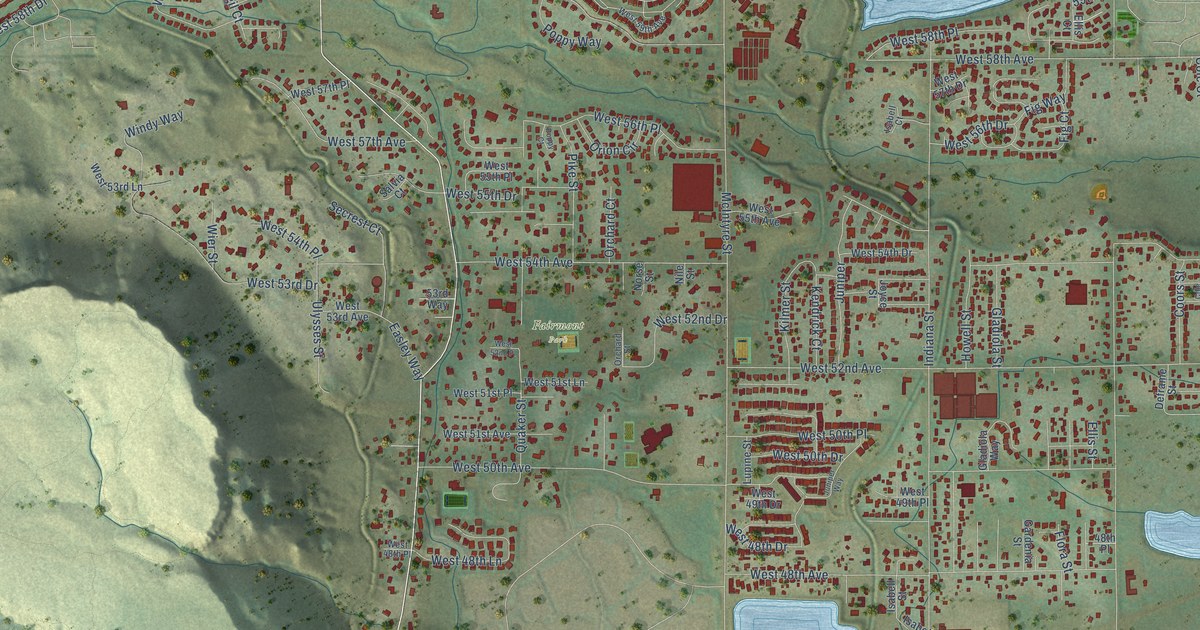
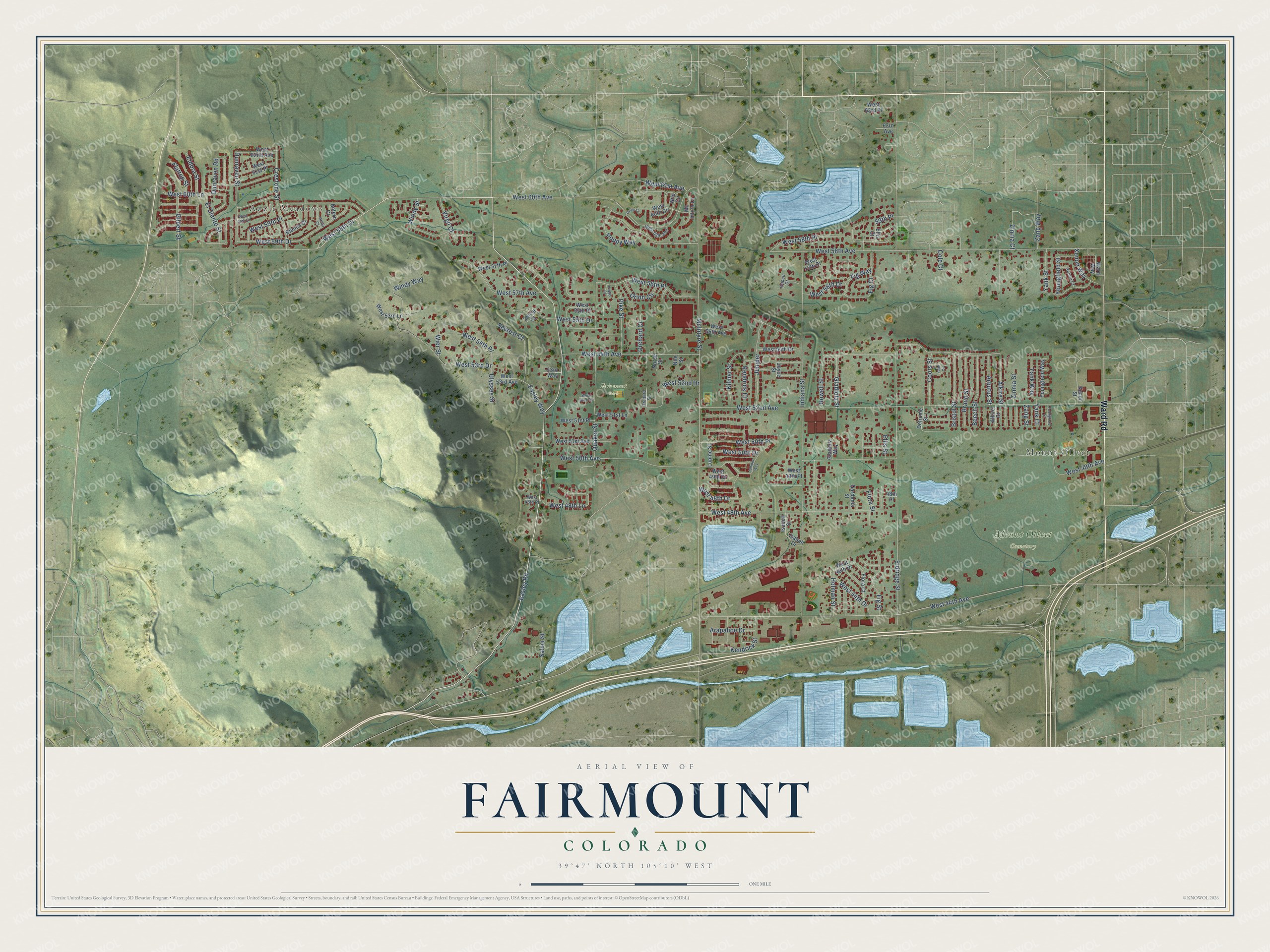
This beautifully detailed map of Fairmount, Colorado was created in 2026 using aerial imagery combined with modern topographical, census, street and landmark data. It's a modern aerial view of Fairmount in Jefferson County, Colorado, that combines modern data with a vintage aesthetic. The roads feature printed names, and if you look closely you can find your exact house accurately shown in its correct location.
Explore an aerial view of Fairmount, Colorado
On this map you'll find Apple Meadows, Mount Olivet, Fairmont Park, Mount Olivet Cemetery, Ward Road, Easley Road, West 60th Avenue, West 58th Drive, Dunraven Street, McIntyre Street, West 58th Avenue, West 52nd Avenue, and more. Each red shape is a building, so zoom in on the preview and look for yours.
Fairmount has a story worth telling. The Colorado Railroad Museum on West 44th Avenue grew from Robert W. Richardson's collection. When Colorado's narrow gauge railroads began going out of business in the late 1940s, he saved their cars, records and equipment, and in 1958 he and his friend Cornelius Hauck moved his museum from Alamosa, opening it in 1959. Richardson built a replica narrow gauge depot as the main museum building, and volunteers helped him lay track for 50 pieces of equipment. That's from the Colorado Railroad Museum.
Fairmount is a community in Jefferson County. The Census Bureau counted 9,324 people here in 2020.
Take a closer look at the Fairmount map
Names on this map
These names are printed on this map.
Places: Apple Meadows, Mount Olivet, Fairmont Park and Mount Olivet Cemetery.
Streets and roads: Ward Road, Easley Road, West 60th Avenue, West 58th Drive, Dunraven Street, McIntyre Street, West 58th Avenue, West 52nd Avenue, West 54th Avenue, Indiana Street, West 44th Avenue, West 50th Avenue.
More street names, A to Z
48th Place, 53rd Way, 59th Place, 63rd Avenue, Alkire Court, Alkire Street, Antero Court, Anvil Court, Arapahoe Drive, Arbutus Street, Beech Street, Blanca Court, Braun Street, Bristol Street, Cole Circle, Cole Court, Coors Street, Crestone Street, Deframe Street, Dunraven Road, Easley Way, El Diente Street, Eldora Street, Eldridge Street, Ellis Court, Ellis Street, Fig Court, Fig Street, Fig Way, Flattop Street, Flora Court, Flora Street, Gardenia Street, Gilbert Street, Gladiola Street, Gladiola Way, Holman Street, Howell Street, Isabell Court, Isabell Drive, Isabell Street, Joyce Street, Juniper, Juniper Way, Kendrick Court, Kendrick Street, Kilmer Street, Lupine Street, Mc Intyre Court, Nile Circle, Nile Street, Norse Street, Orchard Court, Orchard Street, Orion Circle, Orion Court, Pike Street, Poppy Court, Poppy Way, Quaker Street, Salvia Court, Salvia Street, Secrest Court, Ulysses Street, Virgil Court, Ward Way, West 44th Drive, West 46th Drive, West 48th Avenue, West 48th Drive, West 48th Lane, West 48th Place, West 49th Avenue, West 49th Drive, West 49th Place, West 50th Drive, West 50th Place, West 51st Avenue, West 51st Lane, West 51st Place, West 52nd Drive, West 52nd Place, West 53rd Avenue, West 53rd Drive, West 53rd Lane, West 54th Drive, West 54th Place, West 55th Avenue, West 55th Drive, West 55th Place, West 56th Drive, West 56th Place, West 57th Avenue, West 57th Drive, West 57th Place, West 58th Place, West 59th Avenue, West 59th Drive, West 59th Place, West 60th Circle, West 60th Drive, West 60th Lane, West 61st Avenue, West 61st Place, West 62nd Avenue, West 63rd Place, Wier Street, Windy Street, Windy Way, Xenon Court, Xenon Street, Xenon Way, Yank Court, Yank Street, Yank Way, Youngfield Court, Youngfield Street, Youngfield Way, Zang Street, Zang Way, Zinnia Court, Zinnia Street.
See it on a wall
The Fairmount map as a framed print. Swipe for more.


Created by KNOWOL in 2026. The buildings are small red shapes, the roads carry their printed names, and shaded relief shows the shape of the land. The title panel reads "AERIAL VIEW OF FAIRMOUNT, COLORADO" with 39°47' NORTH 105°10' WEST.
It looks right in a kitchen, an office or a den, and it's a gift for anyone who grew up in Fairmount or moved away. Open the preview and find your street. See sizes and frames for the Fairmount map.