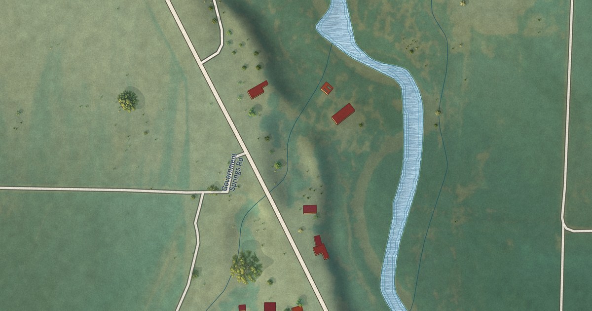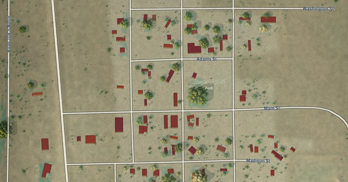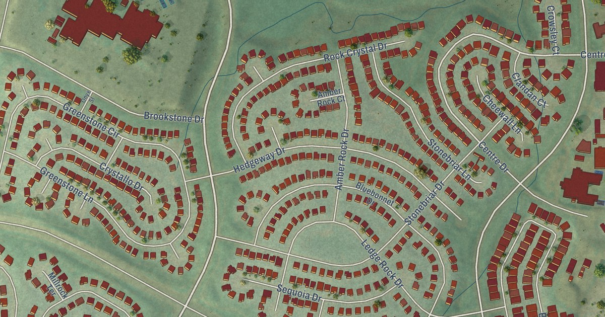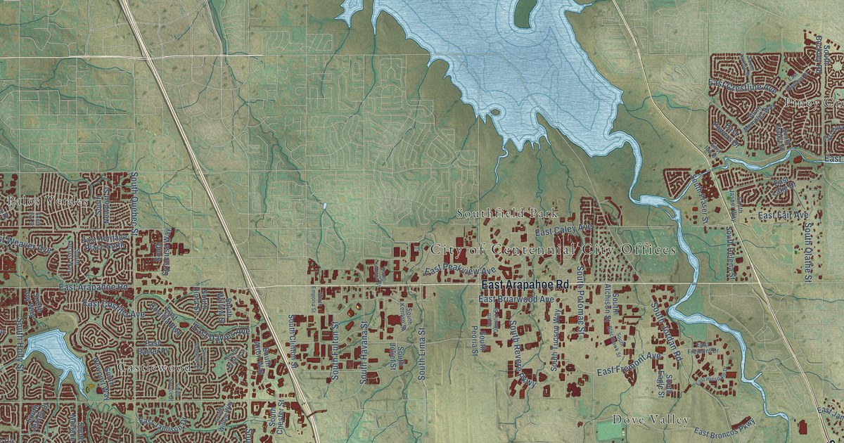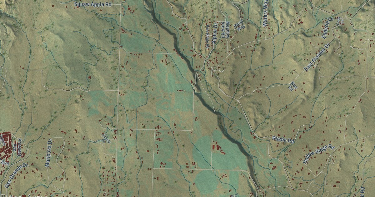
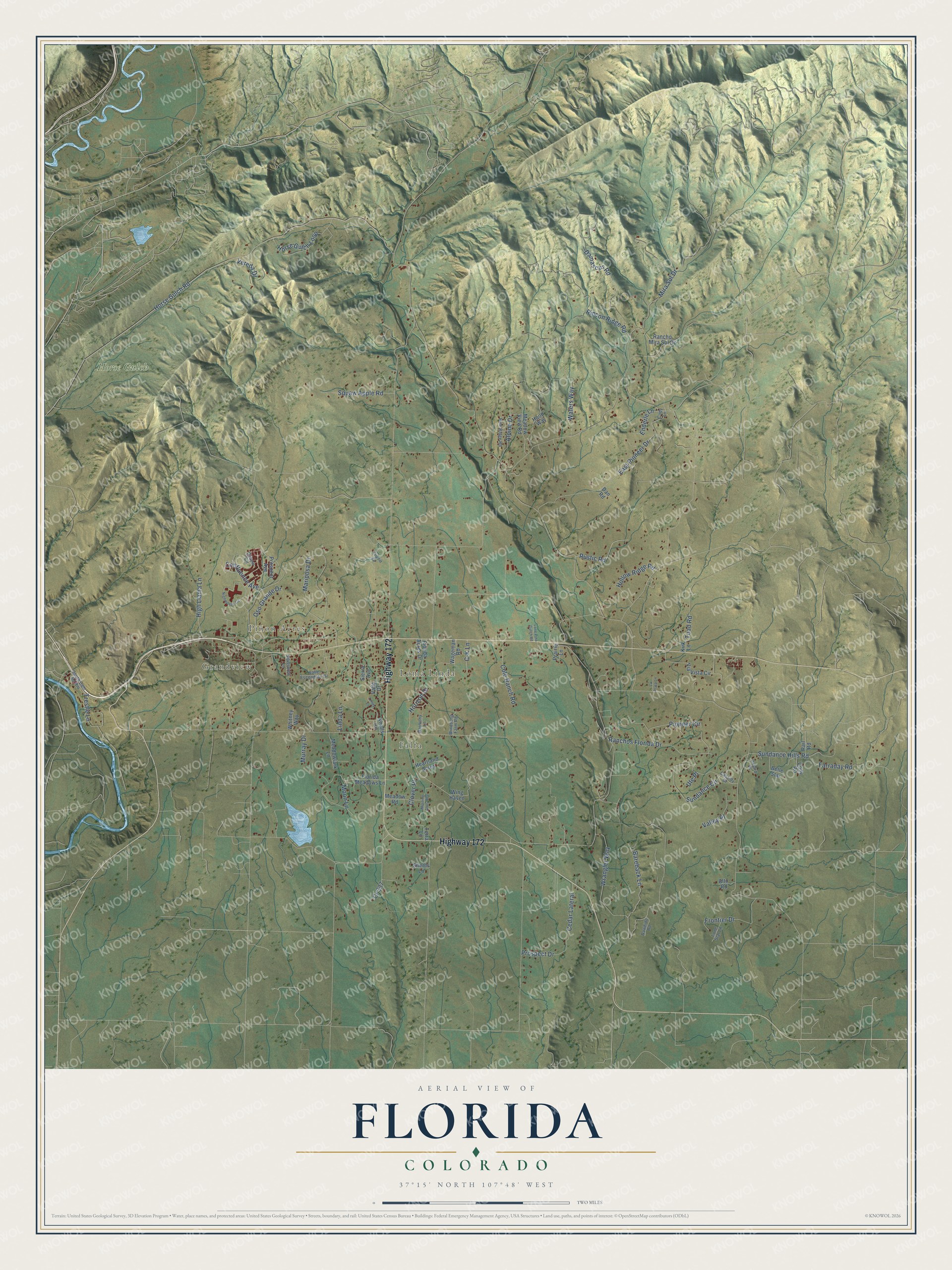
This beautifully detailed map of Florida, Colorado was created in 2026 using aerial imagery combined with modern topographical, census, street and landmark data. It’s a one-of-a-kind view of Florida that combines accurate data with a vintage aesthetic. The map shows every building in its true location, many of the roads carry their names, and the shaded topographic relief shows the shape of the land.
Explore an aerial view of Florida, Colorado
On the map you’ll find Grandview, Falfa, Piñon Acres, Loma Linda, and Horse Gulch, along with Highway 172, Horse Gulch Road, Wrangler Way, Rincon Ridge Road, Mariposa Drive, East Pioneer Drive, Sundance Hills Road, and more. If you look closely you can even find your house accurately drawn in its correct location. Zoom in on the preview to look for yours.
Take a closer look at the Florida map
Names on this map
These names are printed on this map.
Places: Grandview, Falfa, Piñon Acres, Loma Linda and Horse Gulch.
Streets and roads: Highway 172, Horse Gulch Road, Wrangler Way, Rincon Ridge Road, Mariposa Drive, East Pioneer Drive, Sundance Hills Road, Damascus Road, Mira Sol Drive, Prospect Drive, Ranchos Florida Drive, Sundance Circle.
More street names, A to Z
Alpine Drive, Alto Road, Bareback Lane, Belle Star, C-K Lane, Cassidy Drive, Cedar Lateral, Clover Place, Cody Lane, Cody Road, Cole Ranch Road, Confluence Avenue, Cr 337, Dan Road, Enderle Lane, Farraday Road, Florida Acres Drive, Florida Meadows Lane, Frontier Drive, Harmony Lane, Heartland Acres, High Llama Lane, Hollow Ridge Road, Hood Way, Horizon Drive, Horse Gulch Loop, Katydid Circle, Kirk Lane, Knolls Circle, La Plata Lane, Lendy Lane, Linda Lane, Lone Pine Gulch Road, Lone Star Lane, Meadowlark Lane, Meadow Road, Meadow View Road, Moon Lane, Morning Glory Avenue, Murray Drive, Nighthorse Circle, Oso Grande Drive, Oxbow Circle, Oxford Place, Pine Ridge Road, Pioneer Circle, Prairie Lane, Prospect Avenue, Rail Road, Rancho Mira Sol Drive, Rawhide Road, Rustic Road, Sheets Lane, Sierra Avenue, Silverview Lane, South Cam del Rio, Terra Lane, Toad Road, Trestle Lane, Ute Place, Valle Drive, Valle Escondido Drive, Valley Place, Vereda Drive, Via Vista Circle, Wageman Road, Waters Way, Whitney Way, Windsong Farm Road, Wing Haven.
See it on a wall
The Florida map as a framed print. Swipe for more.


This beautifully detailed map of Florida makes an attractive addition to your office, library, or den, and it can even be used to teach children the geography and history of the area. It also makes a great gift for anyone with Florida roots. When you’re done exploring, click here to get your copy of the Florida map.