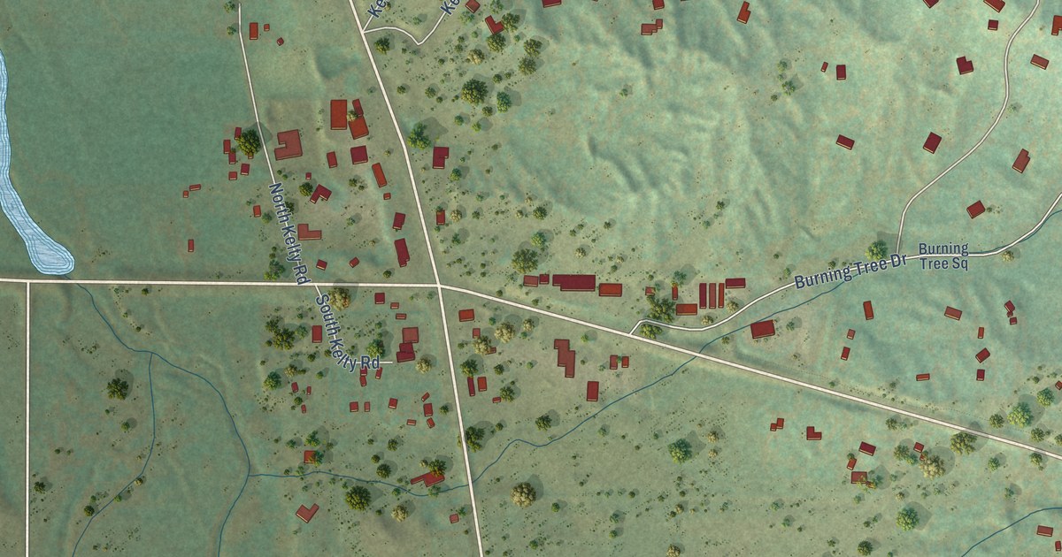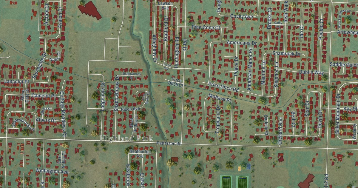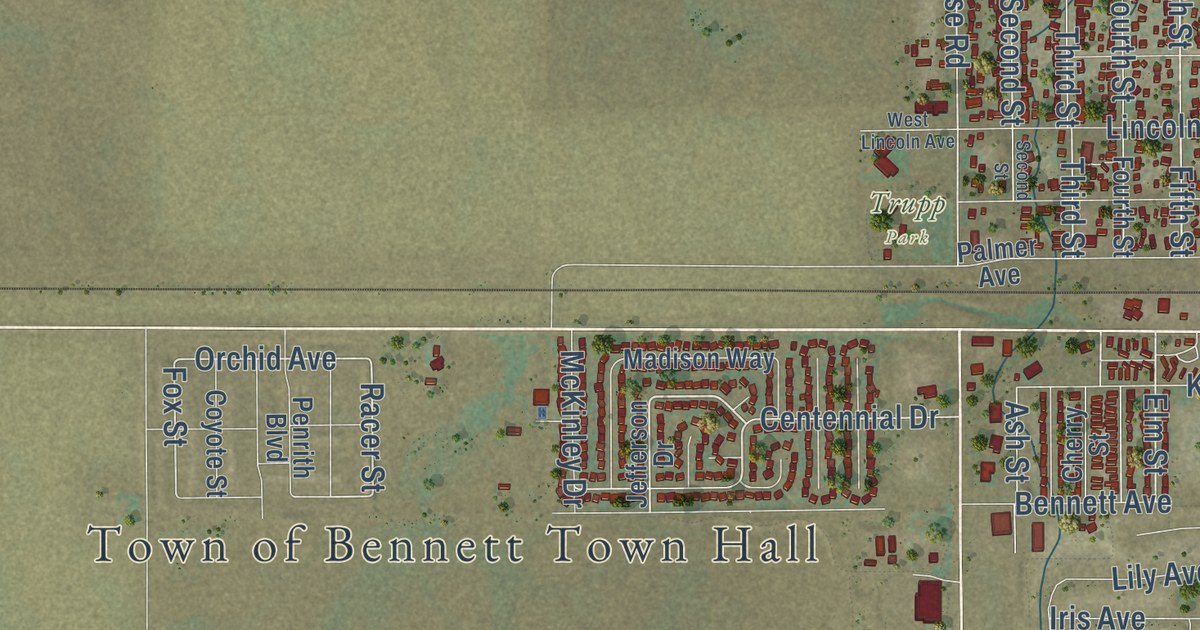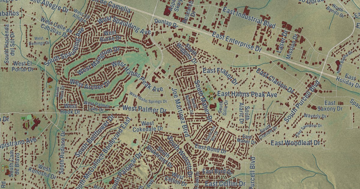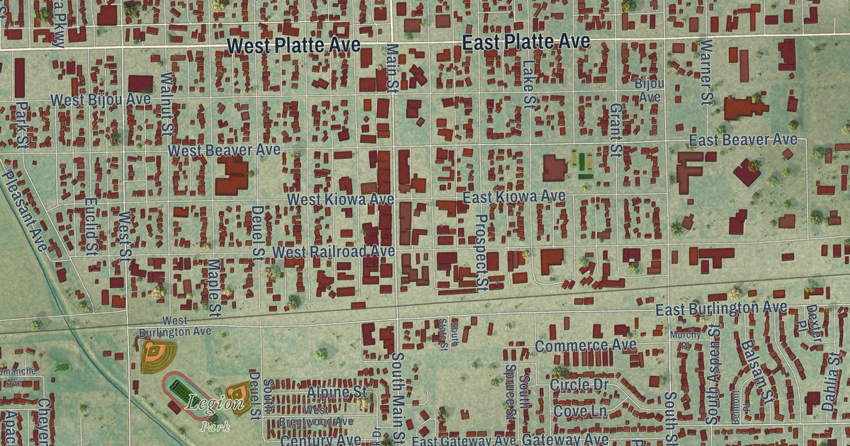
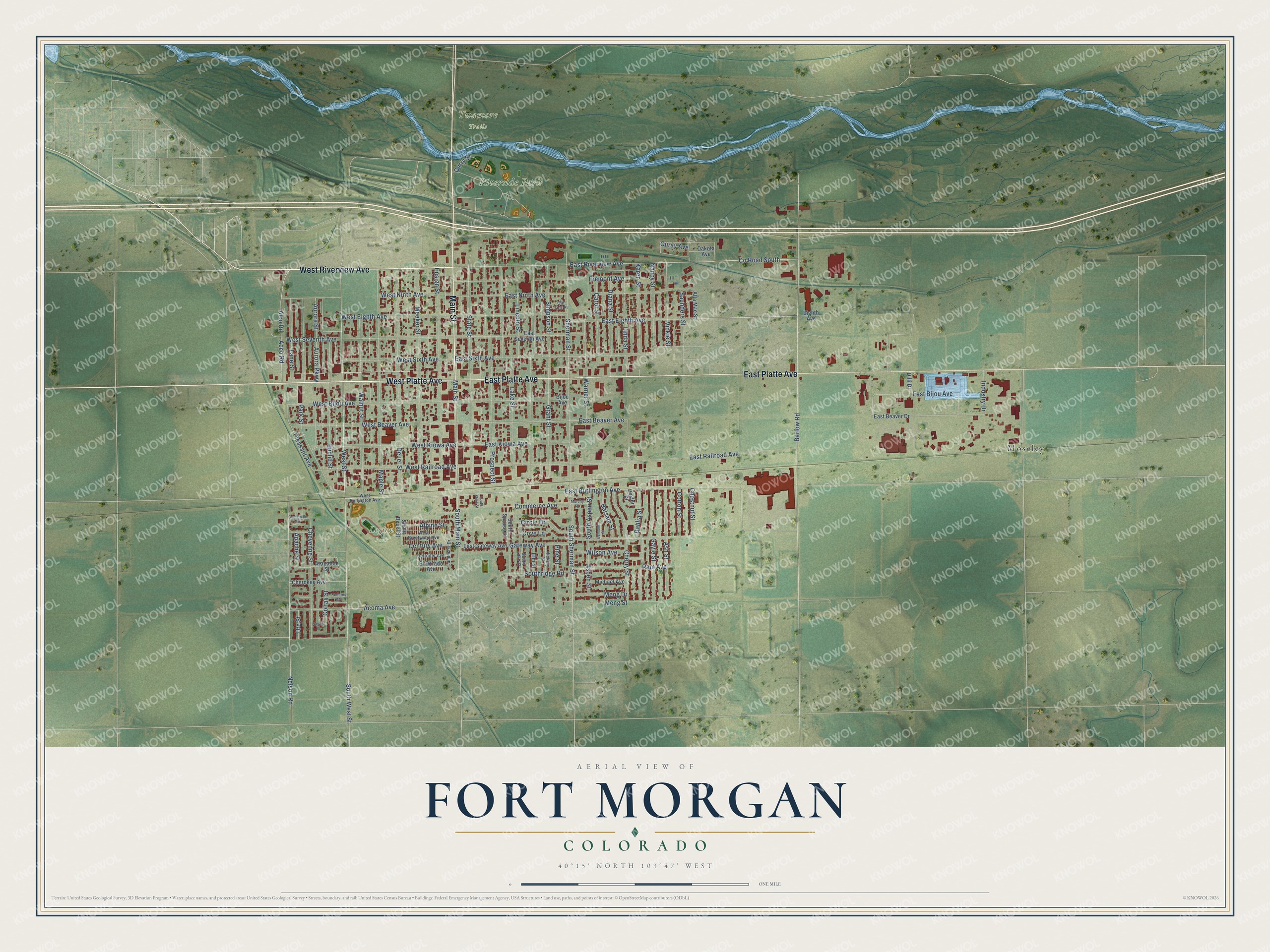
This beautifully detailed map of Fort Morgan, Colorado was created in 2026 using aerial imagery combined with modern topographical, census, street and landmark data. It’s a one-of-a-kind view of Fort Morgan that combines accurate data with a vintage aesthetic. The map shows every building in its true location, many of the roads carry their names, and the shaded topographic relief shows the shape of the land.
Explore an aerial view of Fort Morgan, Colorado
On the map you’ll find Legion Park, Riverside Park, and Moseley, along with West Platte Avenue, West Riverview Avenue, East Platte Avenue, Main Street, Meeker Street, West Street, South Main Street, Gateway Avenue, South Sherman Street, and more. If you look closely you can even find your house accurately drawn in its correct location. Zoom in on the preview to look for yours.
Did you know this piece of Fort Morgan, Colorado history?
From the Colorado Encyclopedia: "In 1884 Wisconsin native Abner S. Baker, who had initially moved to Union Colony (present-day Greeley ) in the 1870s, established the town of Fort Morgan."
Take a closer look at the Fort Morgan map
Street and place names on the Fort Morgan, Colorado map
These names are printed on the map of Fort Morgan, Colorado.
Places: Legion Park, Riverside Park, Twamore Trails and Moseley.
Streets and roads: West Platte Avenue, West Riverview Avenue, East Platte Avenue, Main Street, South Main Street, Meeker Street, Gateway Avenue, West Street, South Sherman Street, East Beaver Avenue, Acoma Avenue, Sherman Street.
More street names, A to Z
Acco Road, Alco Road, Alpine Street, Alta Mae Street, Apache Street, Arapahoe Street, Ash Street, Aspen Street, Aurora Parkway, Aurora Street, Balsam Street, Barlow Road, Belmont Place, Bijou Avenue, Carol Street, Century Avenue, Cherokee Avenue, Cherry Street, Chestnut Street, Cheyenne Street, Circle Drive, Colfax Street, Comanche Avenue, Commerce Avenue, Cotton Street, County Road South, Cove Lane, Curry Street, Dahlia Street, Dakota Avenue, Delores Avenue, Detroiter Avenue, Deuel Street, Dexter Place, Diana Street, Dilli Drive, East Beaver Drive, East Bijou Avenue, East Burlington Avenue, East Eighth Avenue, East Gateway Avenue, East Kiowa Avenue, East Ninth Avenue, East Railroad Avenue, East Riverview Avenue, East Seventh Avenue, East Sixth Avenue, Eighth Avenue, El Dorado Avenue, Elm Street, Ensign Street, Euclid Street, Fremont Avenue, Gayle Street, Grant Street, Hickory Street, Industry Drive, Karen Street, Lake Street, Landmark Drive, Lane Street, Lincoln Street, Linda Street, Maple Street, Meng Drive, Meng Street, Michael Avenue, Murchy Place, Nancy Street, Navajo Street, Nelson Road, Old Fort Place, Ouray Avenue, Park Street, Pine Street, Pleasant Avenue, Prospect Street, Ram Avenue, Saunders Street, Simpson Street, South Aspen Street, South Deuel Street, South Lake Street, Southridge Road, South Spruce Street, South State Street, South West Street, State Street, Ute Street, Vickie Street, Walnut Street, Warner Street, West Beaver Avenue, West Bijou Avenue, West Brentwood Avenue, West Burlington Avenue, West Eighth Avenue, West Kiowa Avenue, West Ninth Avenue, West Railroad Avenue, West Seventh Avenue, West Sixth Avenue, Wilson Avenue.
See the Fort Morgan, Colorado map on a wall
The Fort Morgan map as an 18 x 24 inch print in a black frame.

This beautifully detailed map of Fort Morgan makes an attractive addition to your office, library, or den, and it can even be used to teach children the geography and history of the area. It also makes a great gift for someone who left Fort Morgan and still calls it home. When you’re done exploring, click here to get your copy of the Fort Morgan map.