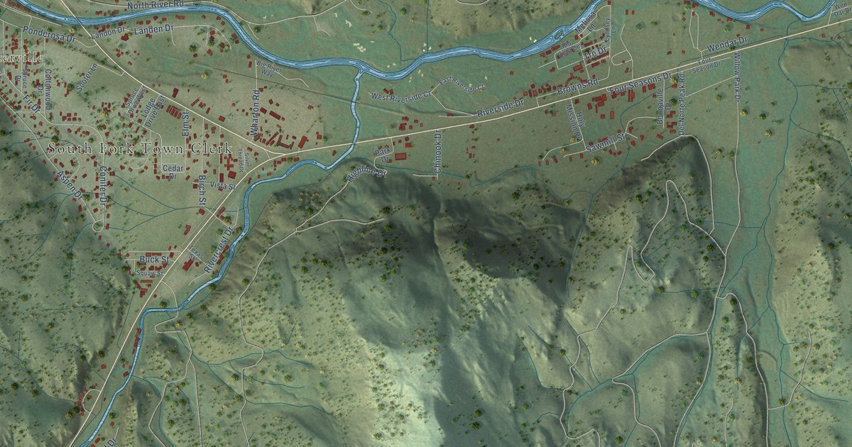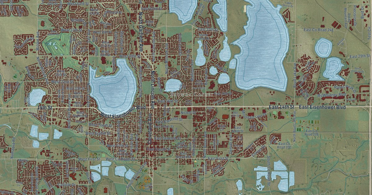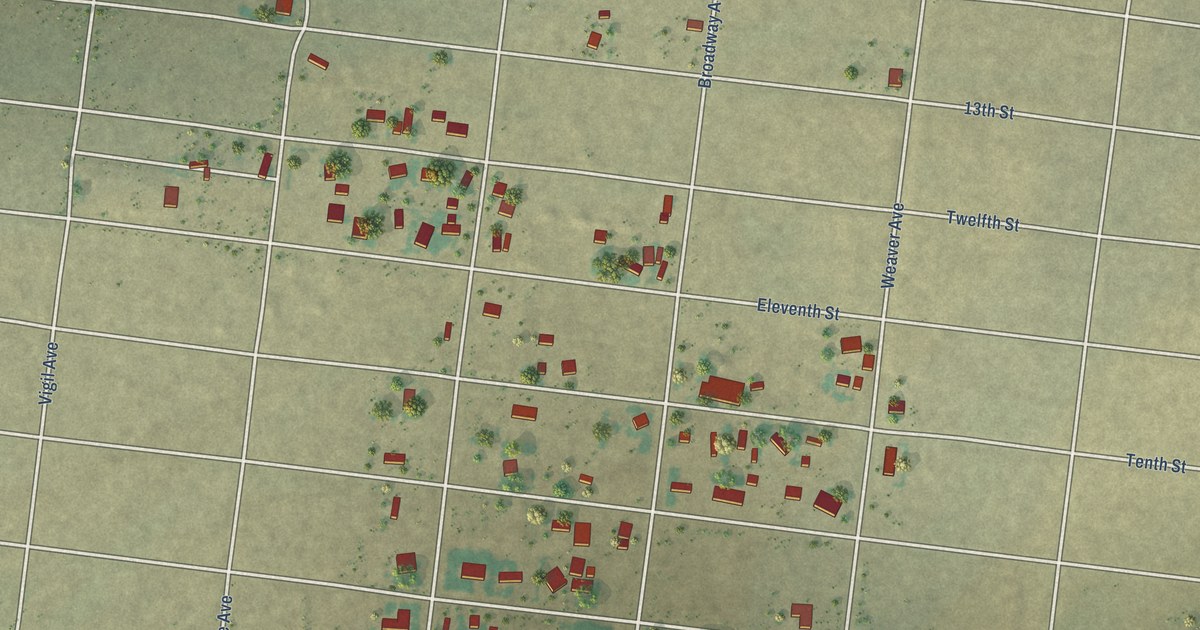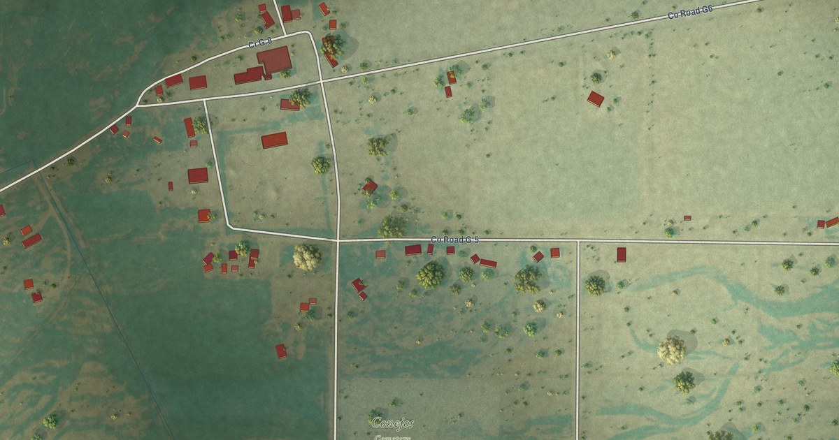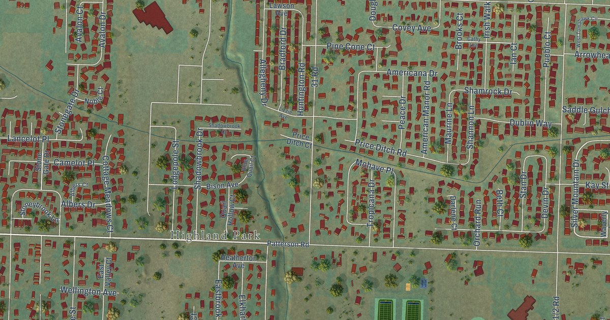
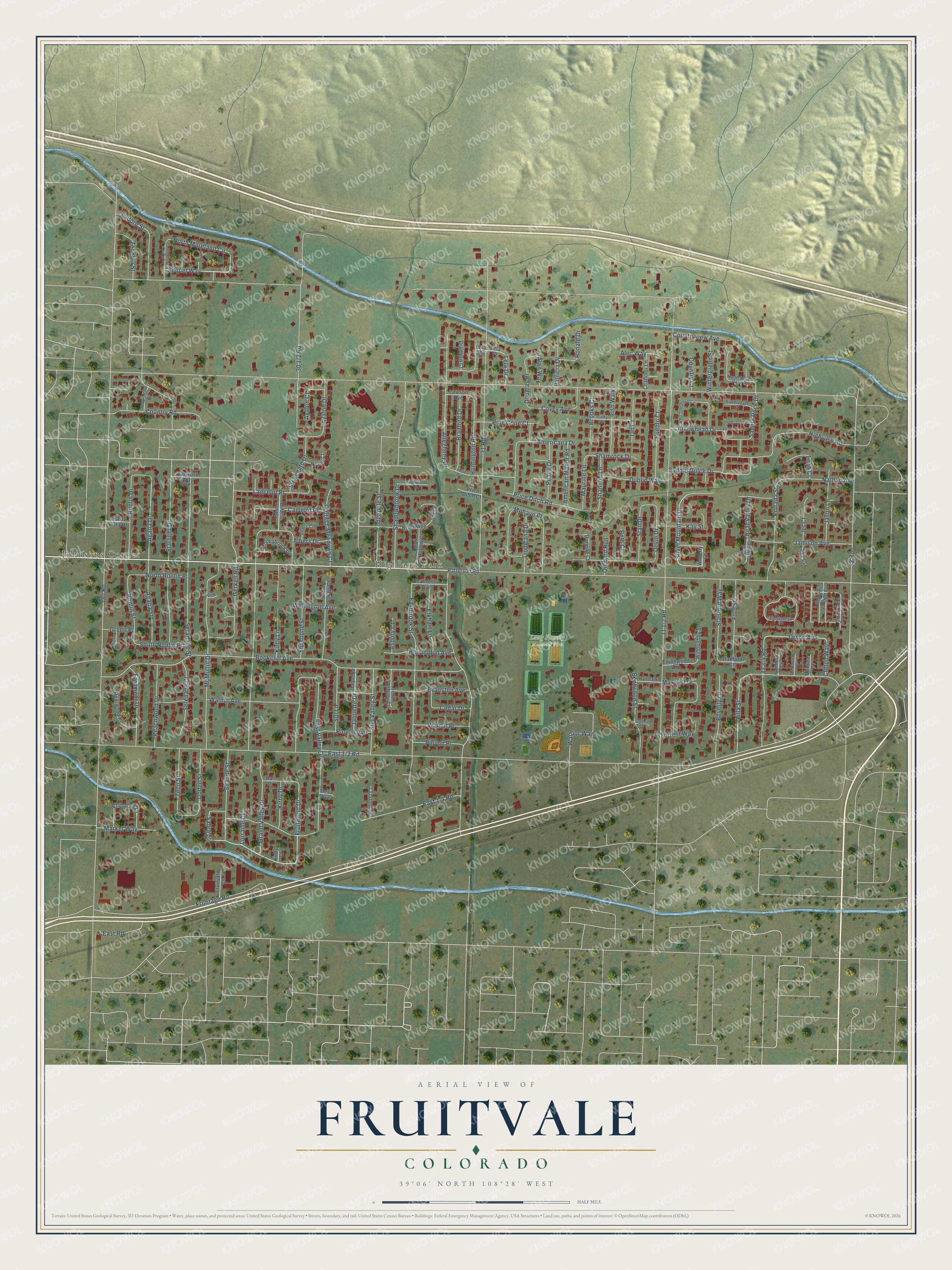
This beautifully detailed map of Fruitvale, Colorado was created in 2026 using aerial imagery combined with modern topographical, census, street and landmark data. It's a modern aerial view of Fruitvale in Mesa County, Colorado, that combines modern data with a vintage aesthetic. The roads feature printed names, and if you look closely you can find your exact house accurately shown in its correct location.
Explore an aerial view of Fruitvale, Colorado
On this map you'll find Highland Park, Long Family Memorial Park, Johnsons Corner, 32 Road, Fruitwood Drive, Silver Mountain Drive, Orson Avenue, Sequel Way, Agana Drive, Mohave Place, Sabra Street, East 1/2 Road, and more. Each red shape is a building, so zoom in on the preview and look for yours.
Fruitvale is a community in Mesa County. The Census Bureau counted 8,271 people here in 2020. Fruitvale sits about 2 miles northwest of Clifton, 5 miles northeast of Orchard Mesa and 5 miles east of Grand Junction. The map prints the town name in its title panel, with the coordinates below it.
Take a closer look at the Fruitvale map
Names on this map
These names are printed on this map.
Places: Highland Park, Long Family Memorial Park and Johnsons Corner.
Streets and roads: 32 Road, Fruitwood Drive, Silver Mountain Drive, Orson Avenue, Sequel Way, Agana Drive, Mohave Place, Sabra Street, 31 Road, 30 Road, Bookcliff Avenue, Frontage Road.
More street names, A to Z
Agana Street, Alan Way, Albers Court, Albers Drive, Alec Way, Allegheny Drive, Americana Drive, American Manor Road, Arrowhead Drive, Asbury Court, Avalon Court, Avalon Drive, Bear Valley Court, Bear Valley Drive, Bentwood Street, Beth Court, Beverly Lane, Bison Avenue, Blue Quail Court, Bradford Court, Bradford Drive, Brooks Court, Camelot Place, Cathy Lee, Cedar Drive, Challinor Lane, Clifton Way, Cline Court, Conestoga Circle, Cottage Meadows Court, Country Court, Country Road, Countryview Avenue, Covey Avenue, Darlene Court, Devin Drive, Dodge Street, Douglas Place, Dublin Way, Eastbrook Street, Eastmoor Drive, East Road, East Valley Court, East Valley Drive, East Vista Drive, Elkhart Lane, Ellendale Drive, Ellingwood Avenue, Entrada Street, Evanston Avenue, Fairfield Court, Ford Street, Forrest Way, Fruitvale Court, Gerken Road, Gothic Court, Grand Valley Drive, Green Court, Green Place, Hall Drive, Hallmark Place, Heatherton Avenue, Highview Road, Hoisington Avenue, Huntington Road, Ian Court, Irish Walk, Jamison Avenue, Jaquette Drive, Jaquette Lane, Jason Lane, Jet Court, Kay Street, Kirby Court, Kirby Drive, Kirby Lane, Ladore Street, Lancelot Place, Lauradale Drive, Lawson Avenue, Leah Court, Lela Avenue, Lela Drive, Lela Place, Lizzie Avenue, Lodgepole Street, Lorraine Court, Market Way, Maurine Lane, Maxwell Drive, McMullin Drive, Melrose Court, Mesa Avenue, Nathan Avenue, Noble Court, North Moreland Circle, North Ronlin Place, North Saddle Rock Drive, Orchard Run, Patricia Drive, Patterson Road, Peace Drive, Peachwood Drive, Pearwood Court, Pine Cone Court, Pinyon Avenue, Pinyon Place, Pioneer Village Circle, Pioneer Village Circle East, Plainview Court, Price Ditch Court, Price Ditch Road, Pueblo Court, Quail Hollow Court, Ronald Drive, Ronlin Drive, Ronlin Street, Saddlegate Court, Saddle Gulch Drive, Saddle Rock Drive, Seranade Street, Serenade Court, Shadowbrook Court, Shadowbrook Drive, Shamrock Drive, Shanne Street, Shannon Lane, Shoshone Street, Sky Court, Sol Lane, South Asbury Court, South Ronlin Place, Stan Drive, Stanford Court, Stanford Way, Starlight Drive, Stoneburro Drive, Stonegate Drive, Stone Gate Drive, Stoneybrook Lane, Sunburst Court, Sun Valley Street, Teco Street, Tropicana Drive, Villa Street, Vin Rose Way, Walnut Avenue, Walnut Place, Warrior Way, Waverly Lane, Wellington Avenue, West Moorland Circle, West Tomahawk Circle, Willoughby Street, Wintergreen Street, Zenobia Street.
See it on a wall
The Fruitvale map as a framed print. Swipe for more.


Created by KNOWOL in 2026. The buildings are small red shapes, the roads carry their printed names, and shaded relief shows the shape of the land. The title panel reads "AERIAL VIEW OF FRUITVALE, COLORADO" with 39°06' NORTH 108°28' WEST.
It looks right in a kitchen, an office or a den, and it's a gift for anyone who grew up in Fruitvale or moved away. Open the preview and find your street. See sizes and frames for the Fruitvale map.