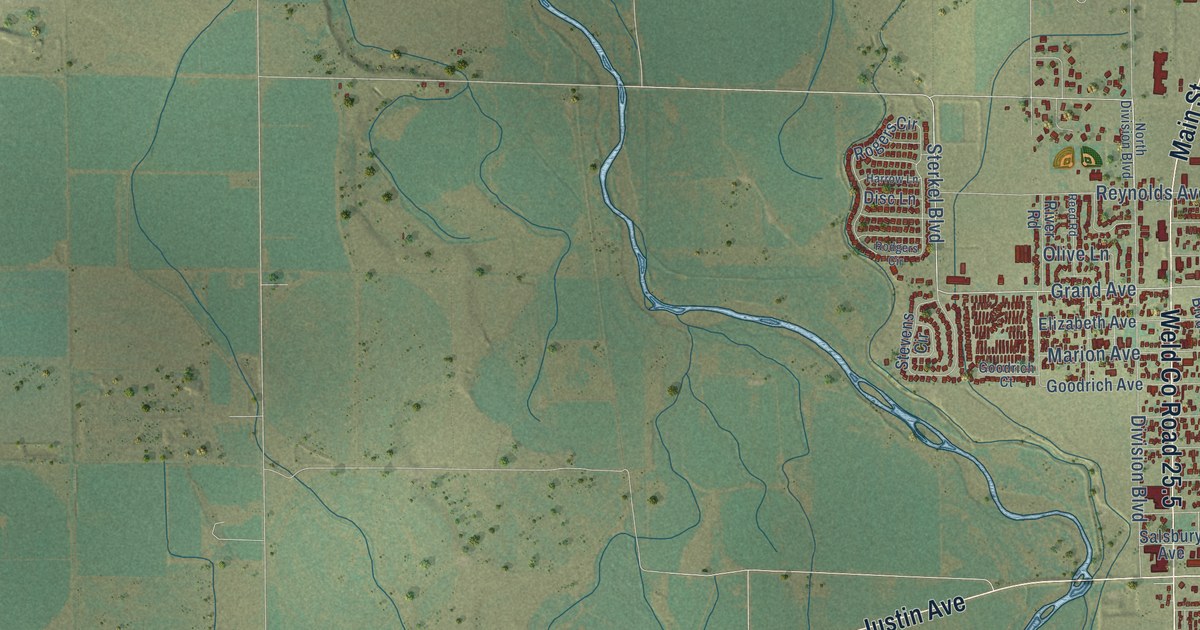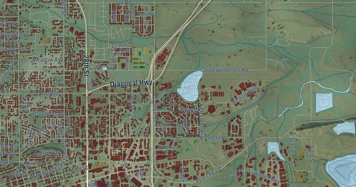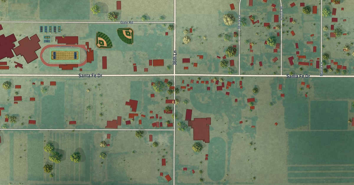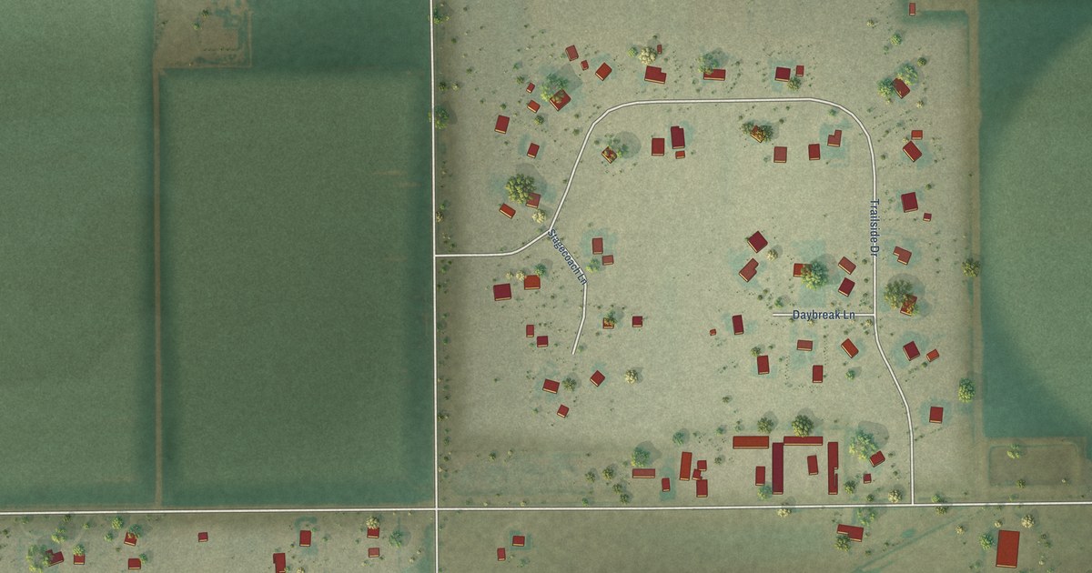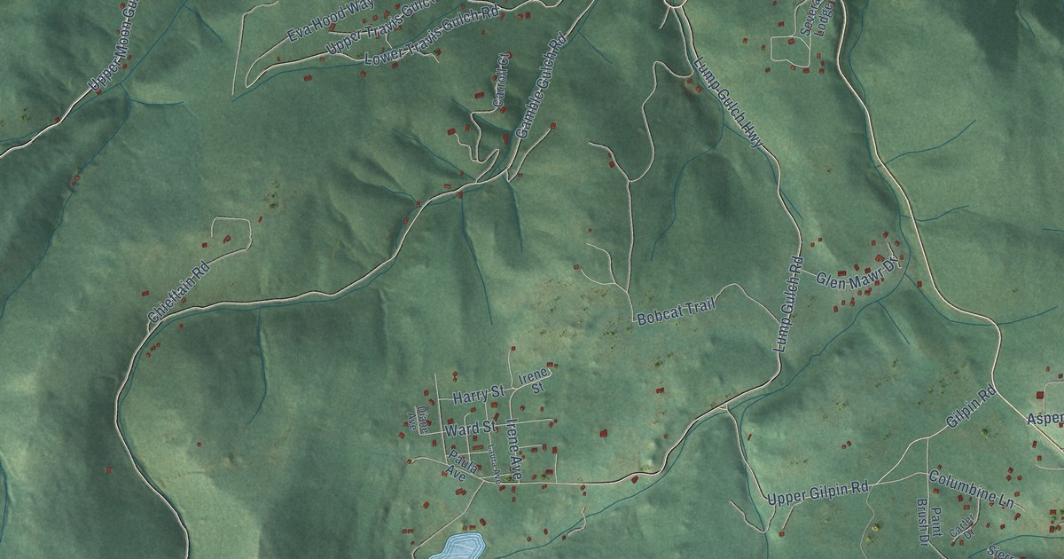
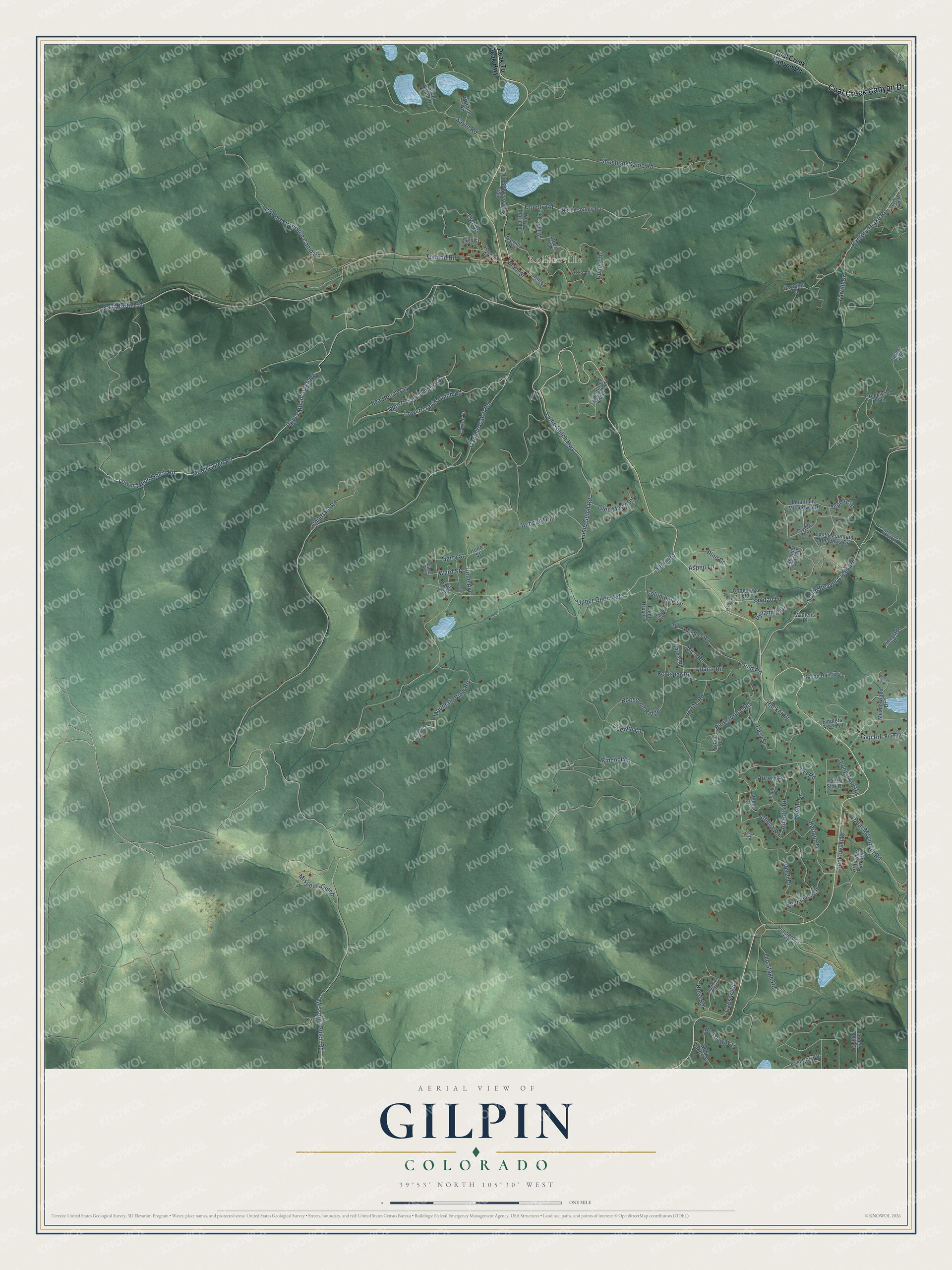
This beautifully detailed map of Gilpin, Colorado was created in 2026 using aerial imagery combined with modern topographical, census, street and landmark data. It’s a one-of-a-kind view of Gilpin that combines accurate data with a vintage aesthetic. The map shows every building in its true location, many of the roads carry their names, and the shaded topographic relief shows the shape of the land.
Explore an aerial view of Gilpin, Colorado
On the map you’ll find Rollinsville, along with Coal Creek Canyon Drive, Upper Moon Gulch Road, Blue Spruce Road, Karlann Drive, South Beaver Creek Road, Irene Avenue, Gap Road, Moon Gulch Road, Pactolus Lake Road, Lower Moon Gulch Road, Caesar Road, and more. If you look closely you can even find your house accurately drawn in its correct location. Zoom in on the preview to look for yours.
Did You Know?
From Internet Archive: "After years of experimenting, many imperfections were found to exist in the Gilpin County Table, which in this machine have been remedied, and is now the most perfect table built."
Gilpin is a community in Gilpin County.
Take a closer look at the Gilpin map
Names on this map
These names are printed on this map.
Places: Rollinsville.
Streets and roads: Coal Creek Canyon Drive, Upper Moon Gulch Road, Blue Spruce Road, Karlann Drive, South Beaver Creek Road, Irene Avenue, Gap Road, Moon Gulch Road, Pactolus Lake Road, Lower Moon Gulch Road, Caesar Road, Aspen Circle.
More street names, A to Z
Albert Drive, Apollo Drive, Art's Lane, Aspen Lane, Aspen Road, Assay Office Road, Athena Road, Atlantis Road, Aurora Road, Bear Mountain Road, Beethoven Drive, Bobcat Trail, Braecher Park Road, Carroll Court, Carter Drive, Chieftain Road, Claudius Road, Coal Creek Canyon Road, Columbine Lane, Conestoga Road, County Road, Creekwood Trail, Diane Avenue, Dory Lakes Drive, Dude's Drive, Dynamite Drive, East Dory Drive, East Portal Road, Easy Street, Eva Hood Way, Farrell Drive, Feldspar Road, Fiddlers Green Place, Forest Star Drive, Gamble Gulch Road, Garnet Road, Gilpin Road, Glen Mawr Drive, Gold Road, Hacker Drive, Harry Street, High Street, Irene Street, Iris Road, Jankowski Drive, Judges Road, Laura Avenue, Lodge Pole Drive, Long Trail Road, Lower Travis Gulch Road, Lump Gulch Highway, Lump Gulch Road, Main Street, Meadowlake Drive, Meadow Way, Mica Road, Missouri Gulch, Missouri Gulch Road, Moon Dance Lane, Moraine Road, Morning Star Circle, Mountain Meadows Drive, Mountain View Drive, Mountain View Road, Nero Road, North County Road, Old Stagecoach Trail, Old Stage Road, Owl Drive, Pactolus Road, Paint Brush Drive, Patricia Road, Paula Avenue, Peak To Peak Highway, Pinchot Lane, Pine Drive, Pineglade Drive, Pine Road, Plutus Drive, Ponderosa Trail, Pyrite Road, Quartz Road, Quentin Lane, Roosevelt Ridge, Sandau Lane, Sayre Road, Second Avenue, Severance Lodge Road, Shoshoni Camp Road, Sierra Timber Road, Silver Dollar Road, South Mountain Meadows Drive, Timber Road, Tolland Road, Trinity Mountain Ranch Road, Upper Gilpin Road, Upper Travis Gulch Road, US Forest Service Camp Road, Venus Drive, Vera Marie Lane, Verdi Drive, Wagon Wheel Trail, Wallens Place, Ward Street, West Dory Way, Willie's Lane, Willow Lane, Winks Way.
See it on a wall
The Gilpin map as a framed print. Swipe for more.


This beautifully detailed map of Gilpin makes an attractive addition to your office, library, or den, and it can even be used to teach children the geography and history of the area. It also makes a great gift for anyone who grew up in Gilpin or moved away. When you’re done exploring, click here to get your copy of the Gilpin map.