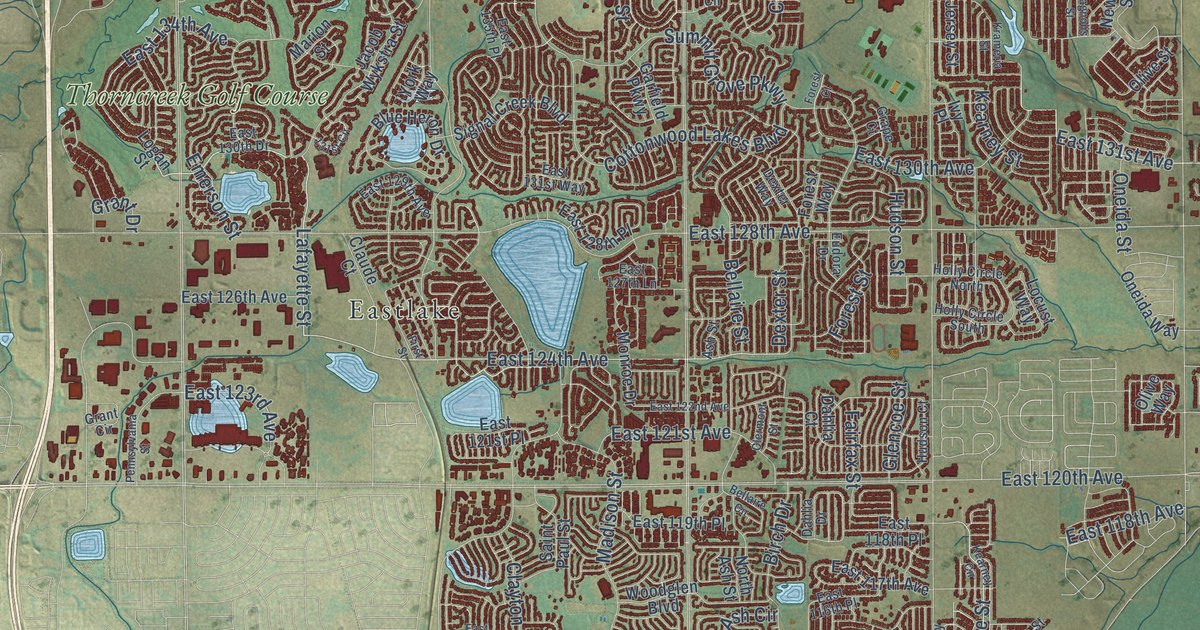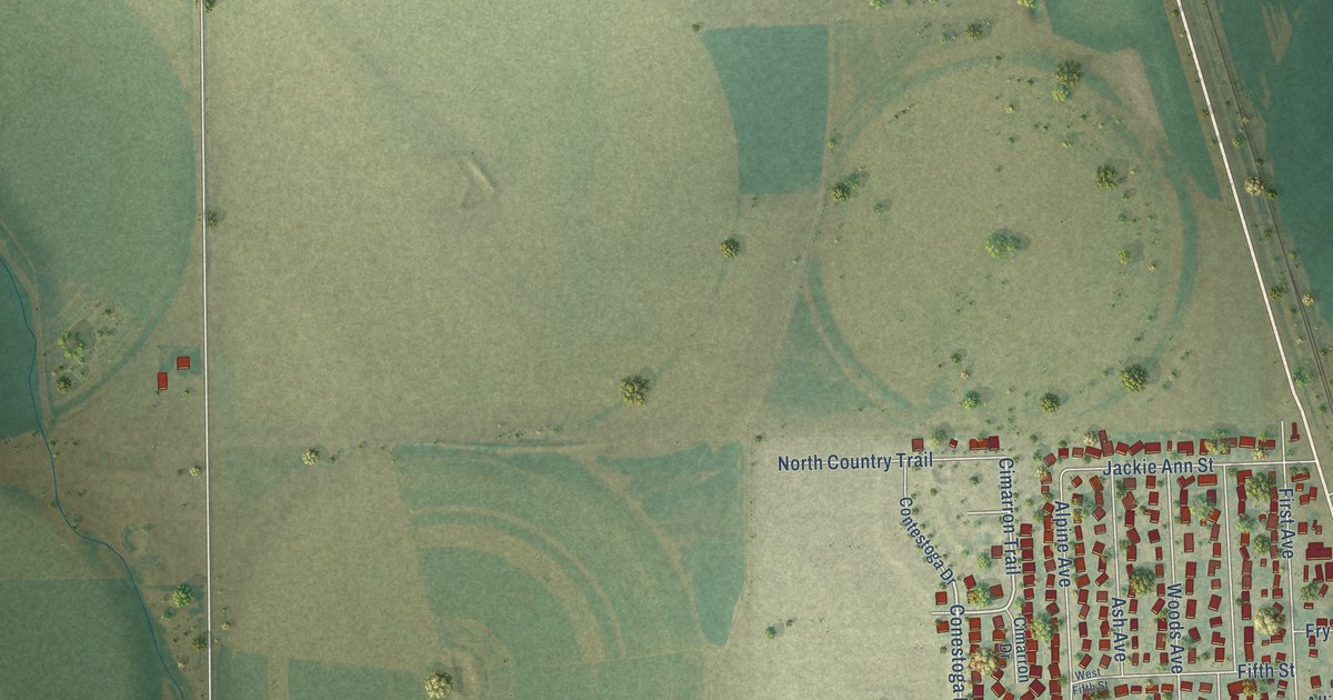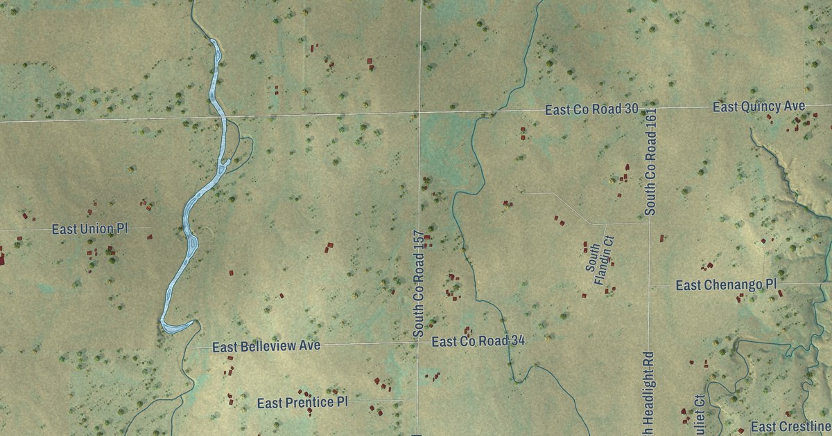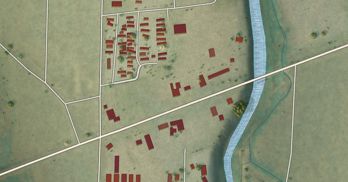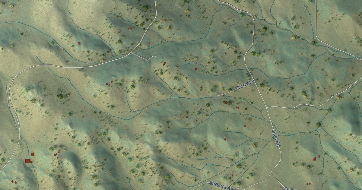
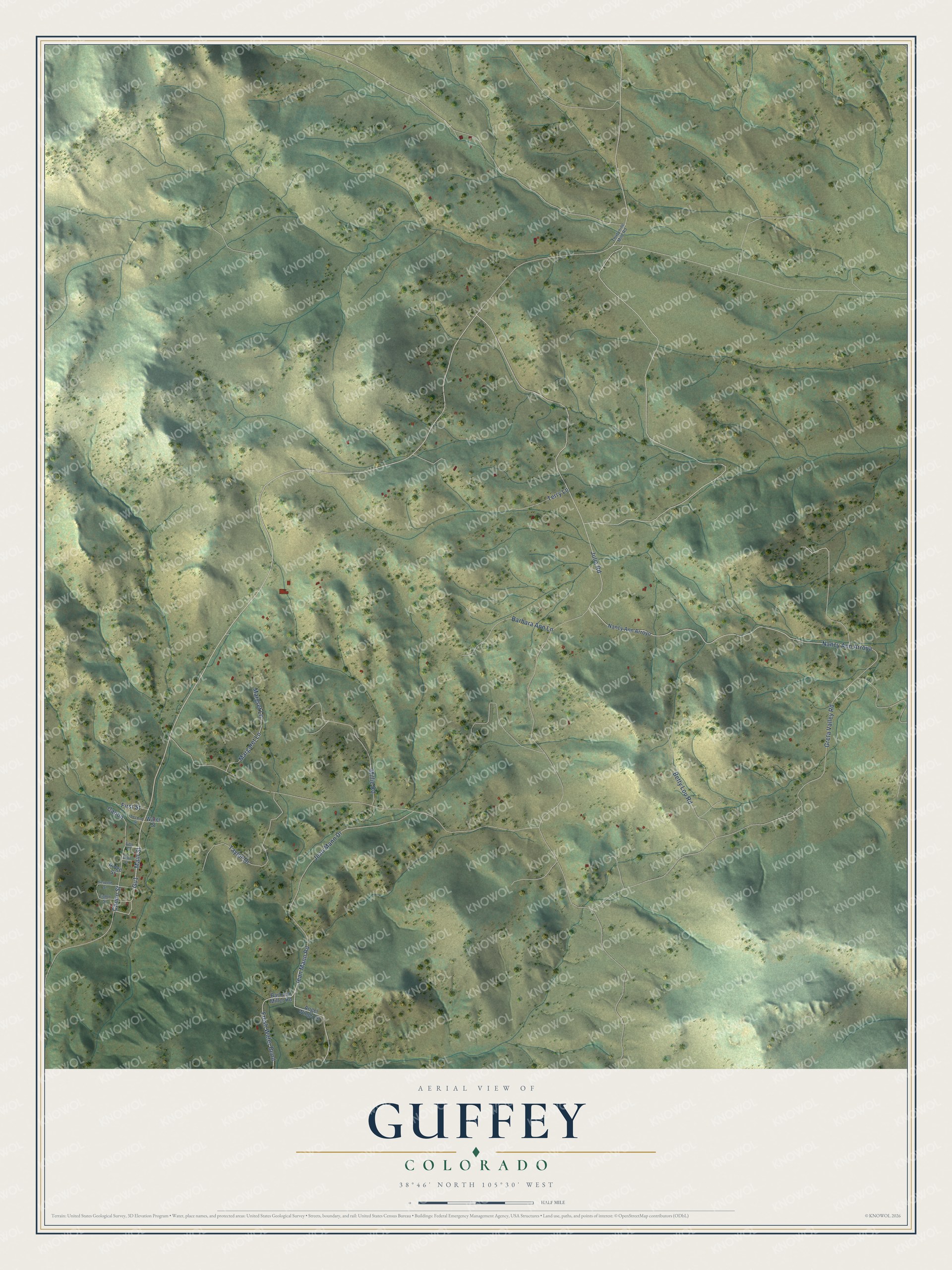
This beautifully detailed map of Guffey, Colorado was created in 2026 using aerial imagery combined with modern topographical, census, street and landmark data. It's a modern aerial view of Guffey in Park County, Colorado, that combines modern data with a vintage aesthetic. The roads feature printed names, and if you look closely you can find your exact house accurately shown in its correct location.
Explore an aerial view of Guffey, Colorado
On this map you'll find Main Street, Canon Street, Gu1, Nancy Ann Arroya, Greta Valley Road, Julia Road, Jean Mann Drive, Jean Mann Road, Taylor Drive, Millie Road, Betty Lou Road, Barbara Ann Lane, and more. Each red shape is a building, so zoom in on the preview and look for yours.
Here is a piece of Guffey history. Guffey, first called Freshwater, began in the late 1800s when miners who had missed the Cripple Creek claim rush moved west looking for gold. In 1918 town leaders built a proper schoolhouse, salvaging materials from old buildings because wartime prices were so high, and it opened that September with 25 to 30 students. Two weeks later the influenza pandemic closed it until December 3. That's from the Guffey Community Charter School.
Guffey is a community in Park County. The Census Bureau counted 111 people here in 2020.
Take a closer look at the Guffey map
Names on this map
These names are printed on this map.
Streets and roads: Main Street, Canon Street, Gu1, Nancy Ann Arroya, Greta Valley Road, Julia Road, Jean Mann Drive, Jean Mann Road, Taylor Drive, Millie Road, Betty Lou Road, Barbara Ann Lane.
More street names, A to Z
Angel Wings Lane, Barbara Miller Road, Canon, Eighth Street, Fifth Street, First Street, Fresh Water Bend, Margaret Lane, Margret Lane, Nancy Ann Arroyo, Ridge Street, Second Street, Seventh Street, Sixth Street, Terry Lane, Thirtynine Mile Road, Water Street.
See it on a wall
The Guffey map as a framed print. Swipe for more.


Created by KNOWOL in 2026. The buildings are small red shapes, the roads carry their printed names, and shaded relief shows the shape of the land. The title panel reads "AERIAL VIEW OF GUFFEY, COLORADO" with 38°46' NORTH 105°30' WEST.
It suits a den, a classroom or a front hall, and it makes a gift for anyone with Guffey roots. Open the preview and find the block you know. See sizes and frames for the Guffey map.