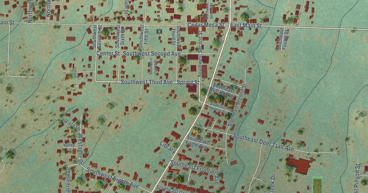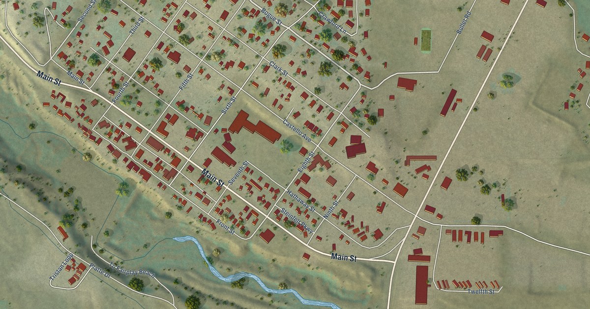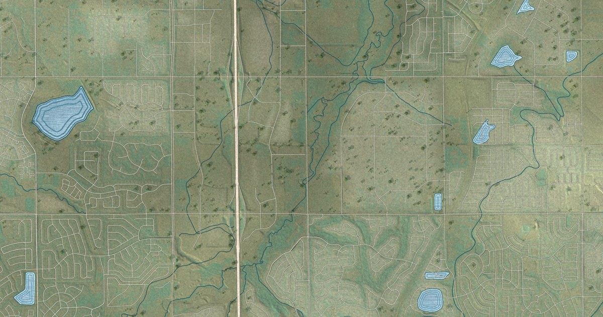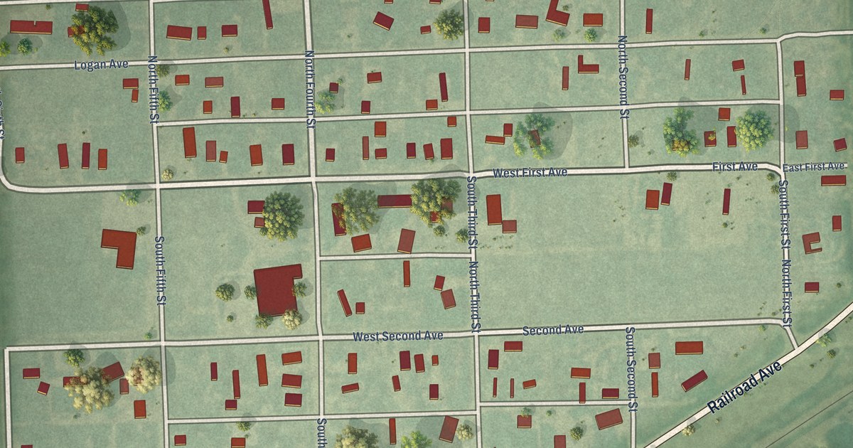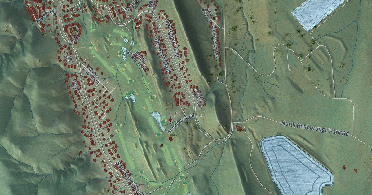
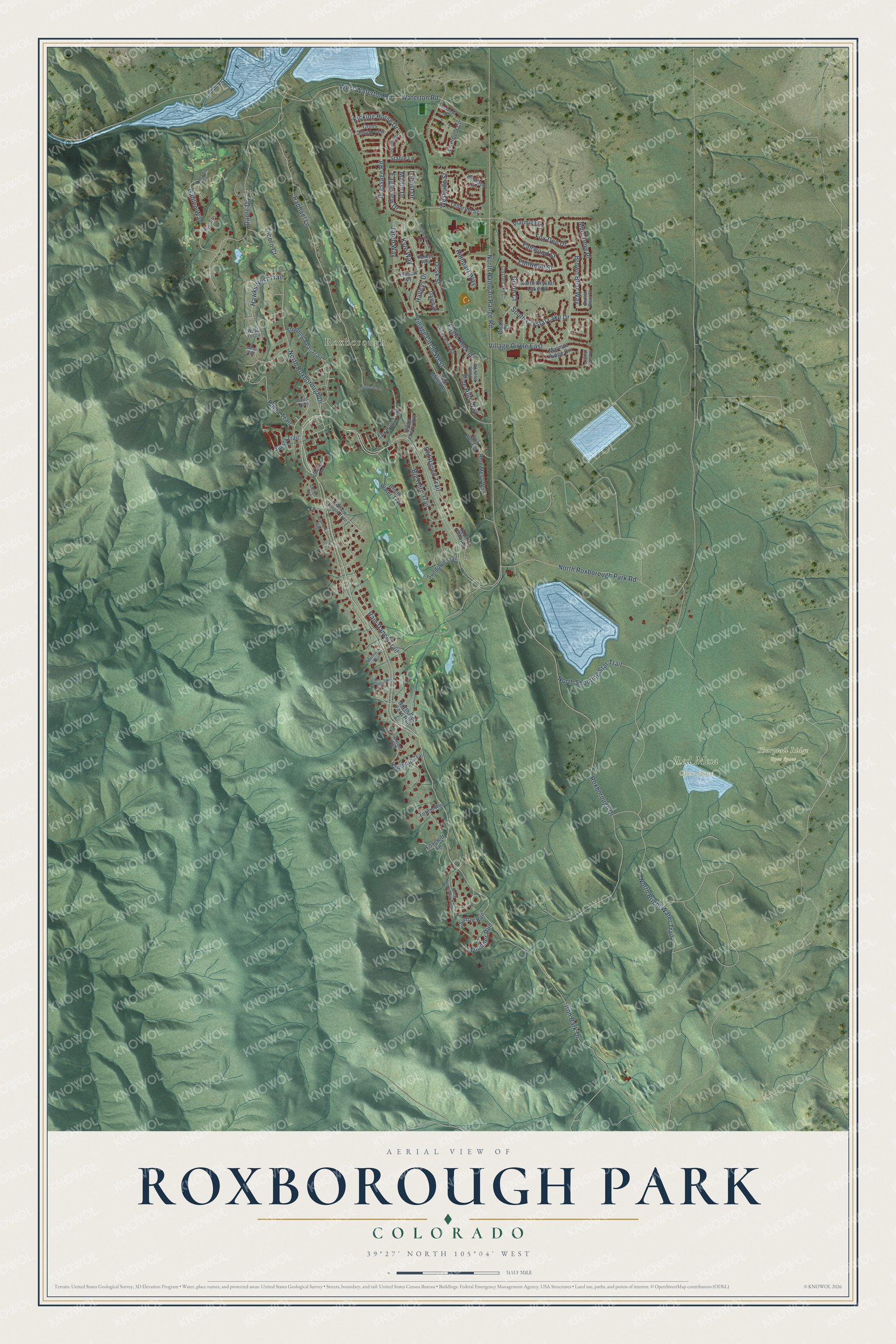
This beautifully detailed map of Roxborough Park, Colorado was created in 2026 using aerial imagery combined with modern topographical, census, street and landmark data. It's a modern aerial view of Roxborough Park in Douglas County, Colorado, that combines modern data with a vintage aesthetic. The roads feature printed names, and if you look closely you can find your exact house accurately shown in its correct location.
Explore an aerial view of Roxborough Park, Colorado
On this map you'll find Roxborough, Red Mesa Open Space, Sharptail Ridge Open Space, Roxborough Drive, North Roxborough Drive, Puma Trail, Rain Dance Trail, Old Ranch Trail, West Waterton Road, South Crystal Lake Drive, Dante Drive, Waterton Road, and more. Each red shape is a building, so zoom in on the preview and look for yours.
Roxborough Park has a story worth telling. Homesteaders in the 1880s called the area Washington Park, because one of its big rock outcrops looked like the profile of George Washington. Henry S. Persse bought land there in 1889 and probably renamed it Roxborough, for the part of Ireland from which his family had emigrated. He hoped to build a high-class resort that never came, but his land became a day-trip spot for Denver friends, among them mayors Robert Speer and Benjamin Stapleton. That's from the Colorado Encyclopedia.
Roxborough Park is a community in Douglas County. The Census Bureau counted 9,416 people here in 2020.
Take a closer look at the Roxborough Park map
Names on this map
These names are printed on this map.
Places: Roxborough, Red Mesa Open Space and Sharptail Ridge Open Space.
Streets and roads: Roxborough Drive, North Roxborough Drive, Puma Trail, Rain Dance Trail, Old Ranch Trail, West Waterton Road, South Crystal Lake Drive, Dante Drive, Waterton Road, North Rampart Range Road, Village Circle West, Raphael Lane.
More street names, A to Z
Antler Run, Big Horn Trail, Birolli Place, Bison Court, Bison Place, Blue Mesa Drive, Blue Mesa Way, Bright Water Trail, Brown Bear Court, Brown Bear Way, Canvasback Circle, Cavaletti Drive, Choke Cherry Way, Cicero Court, Condor Run, Cross Country Lane, Crystal Lake Court, Dawn Drive, Dome Rock Road, Dressage Road, Dusk Street, Eagle Rock Drive, Eagleview Drive, Ellison Place, Elmwood Street, Fairwood Street, Foxcroft Lane, Fox Den Drive, Fox Paw Trail, Galileo Way, Halleys Drive, Halleys Way, Harebell Run, Hawks Nest Trail, Hawthorn Trail, Iron Bark Drive, Jared Way, Kicking Horse Drive, Kyle Way, Leonardo Place, Liverpool Circle, Locust Drive, Maple Drive, Marmot Ridge Circle, Marmot Ridge Place, Mesa Run, Mossrock Run, Mule Deer Place, North Bright Water Trail, North Crystal Lake Drive, North Ponderosa Trail, North Red Fern Run, North Roxborough Park Road, North Shooting Star Trail, Outrider Road, Palladio Court, Pine Hills Way, Ptarmigan Court, Rampart Way, Raspberry Run, Red Mesa Drive, Sleeping Bear Trail, Spotted Fawn Run, Stable Lane, Sumac Run, Sundown Trail, Surrey Trail, Telluride Street, Thunder Run, Totem Run, Turkey Rock Road, Twin Cubs, Village Circle East, Warriors Run, Westside Circle, Westside Street, West Yucca, Willow Broom Trail.
See it on a wall
The Roxborough Park map as a framed print. Swipe for more.


Created by KNOWOL in 2026. The buildings are small red shapes, the roads carry their printed names, and shaded relief shows the shape of the land. The title panel reads "AERIAL VIEW OF ROXBOROUGH PARK, COLORADO" with 39°27' NORTH 105°04' WEST.
It looks right in a kitchen, an office or a den, and it's a gift for anyone who grew up in Roxborough Park or moved away. Open the preview and find your street. See sizes and frames for the Roxborough Park map.