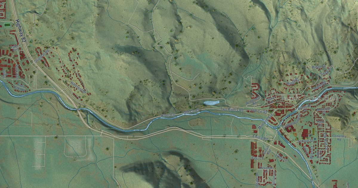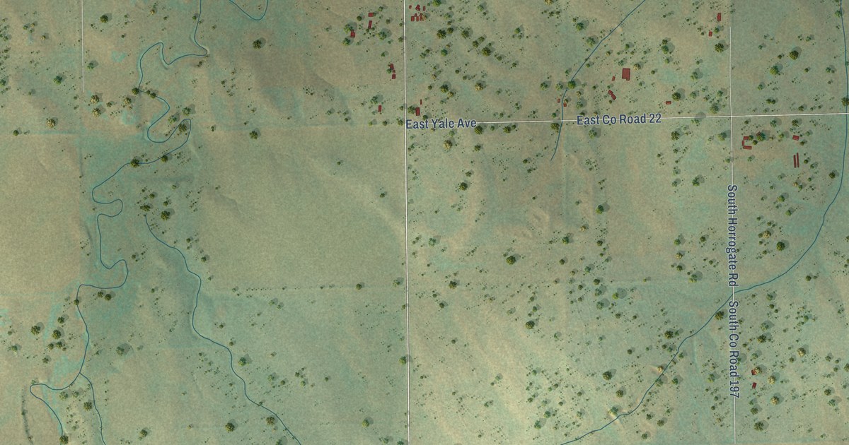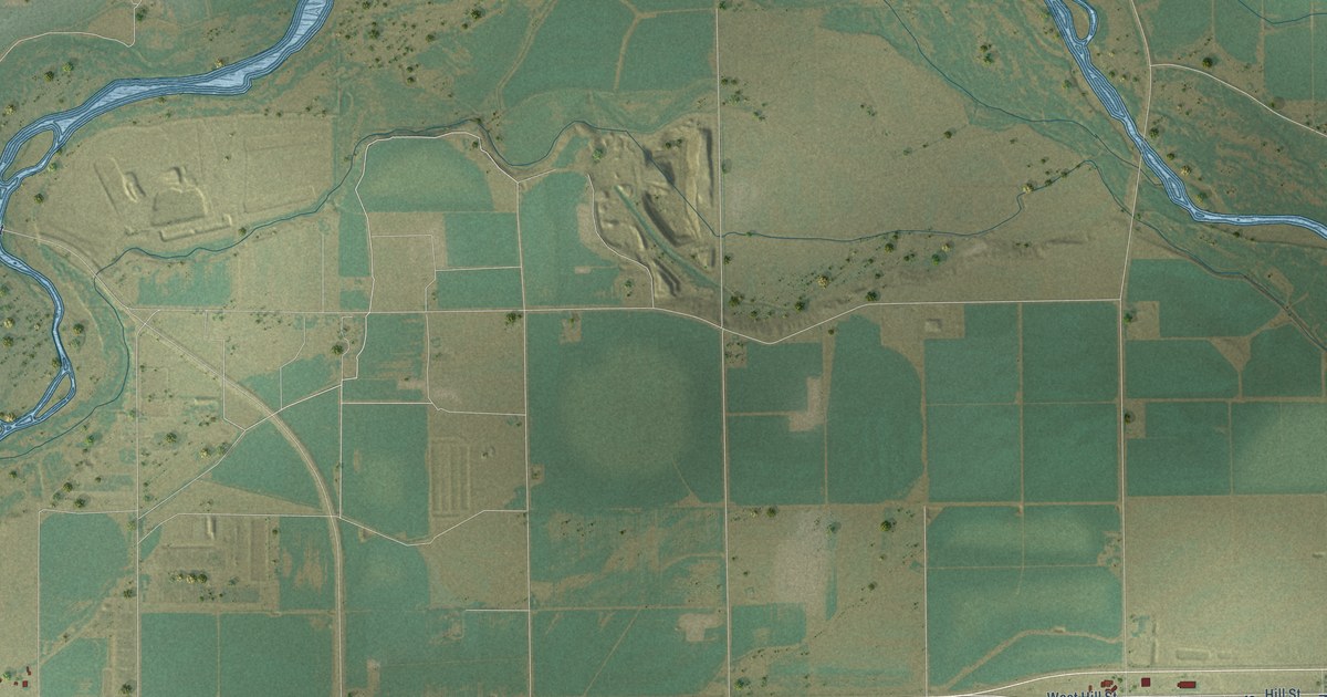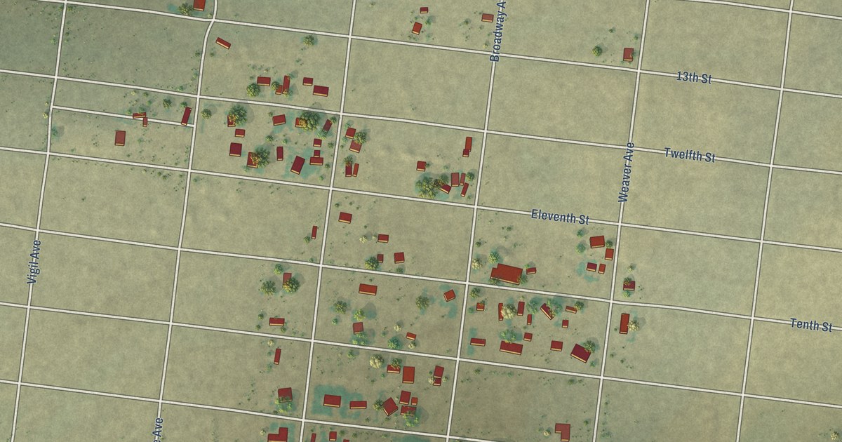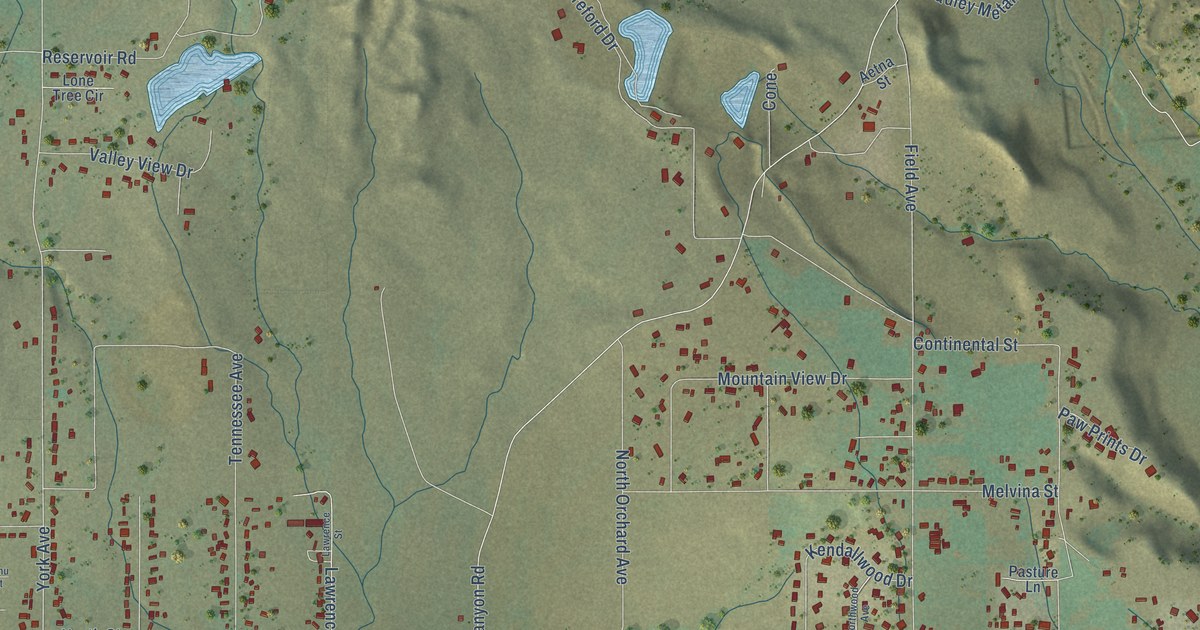
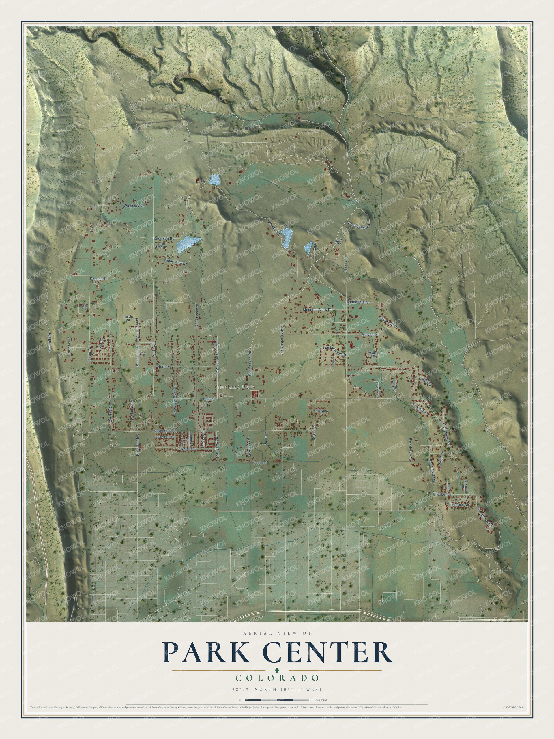
This beautifully detailed map of Park Center, Colorado was created in 2026 using aerial imagery combined with modern topographical, census, street and landmark data. It's a modern aerial view of Park Center in Fremont County, Colorado, that combines modern data with a vintage aesthetic. The roads feature printed names, and if you look closely you can find your exact house accurately shown in its correct location.
Explore an aerial view of Park Center, Colorado
On this map you'll find Orchard Park, York Avenue, Phelps Avenue, Red Canyon Road, High Street, North Street, Illinois Avenue, Washington Street, Hereford Drive, Field Avenue, Reservoir Road, Tennessee Avenue, and more. Each red shape is a building, so zoom in on the preview and look for yours.
Every town has a first chapter, and Park Center is no exception. In October 1909 the Park Center Land and Water Company and the Garden Park Irrigation Company were about to start a storage dam on Four Mile Creek, nine miles northwest of Cripple Creek, to water the Park Center and Garden Park ranch districts. The dam was to stand 84 feet high, with a lake a mile and a half long. That's from The Irrigation Age.
Park Center is a community in Fremont County. The Census Bureau counted 2,953 people here in 2020.
Take a closer look at the Park Center map
Names on this map
These names are printed on this map.
Places: Orchard Park.
Streets and roads: York Avenue, Phelps Avenue, Red Canyon Road, High Street, North Street, Illinois Avenue, Washington Street, Hereford Drive, Field Avenue, Reservoir Road, Tennessee Avenue, South Street.
More street names, A to Z
Aetna Street, Alabama Avenue, Bradley Metals, Colvin Street, Cone, Cone Avenue, Continental Street, Creekview Court, Crestview Court, Dozier Place, Eagles Nest Court, Elizabeth Street, Florida Street, Foothills Drive, Indiana Avenue, Janu Court, Jersey Lane, Josie Bell Street, Kendallwood Drive, Kentucky Street, Lawrence Avenue, Lawrence Street, Lone Tree Circle, Melvina Street, Minnesota Avenue, Minnesota Street, Mountain View Drive, Natalie Street, North 15th Street, North Ninth Street, North Orchard Avenue, North Raynolds Avenue, Northwood Avenue, Pampas Court, Pasture Lane, Paw Prints Drive, Pennsylvania Avenue, Ponderosa Lane, Ranchitos Drive, Ridgeview Place, Rockafellow Avenue, Rockafellow Court, Rockridge Loop, Seven Arrows Court, Smith Street, Summit Street, Sundown Place, Sunrise Circle, Valley View Drive, Vermont Avenue, Windsor Avenue.
See it on a wall
The Park Center map as a framed print. Swipe for more.


Created by KNOWOL in 2026. The buildings are small red shapes, the roads carry their printed names, and shaded relief shows the shape of the land. The title panel reads "AERIAL VIEW OF PARK CENTER, COLORADO" with 38°29' NORTH 105°14' WEST.
Hang it in the hallway, the office or the cabin, or give it to someone who left Park Center and still calls it home. Open the preview and look for a street you know. See sizes and frames for the Park Center map.