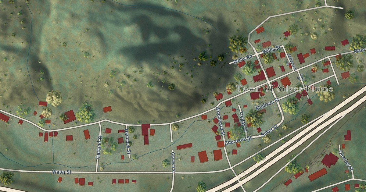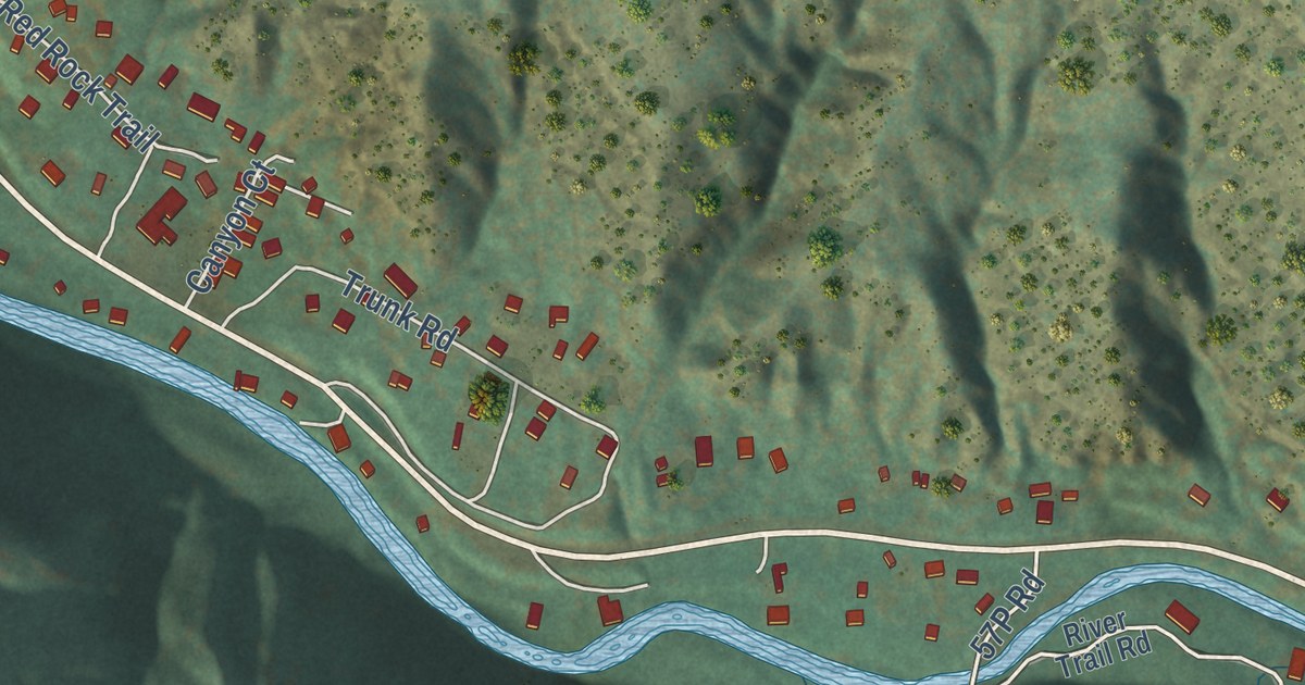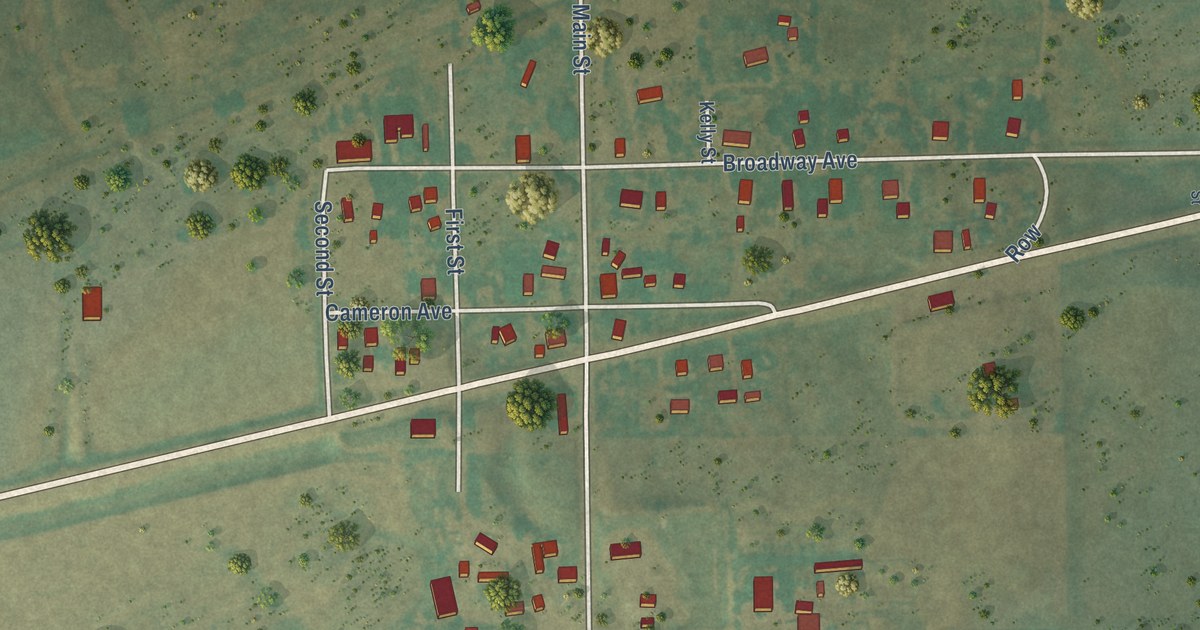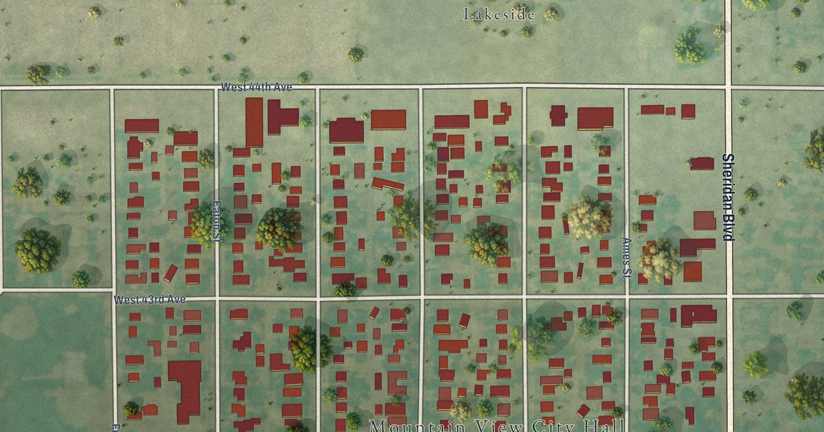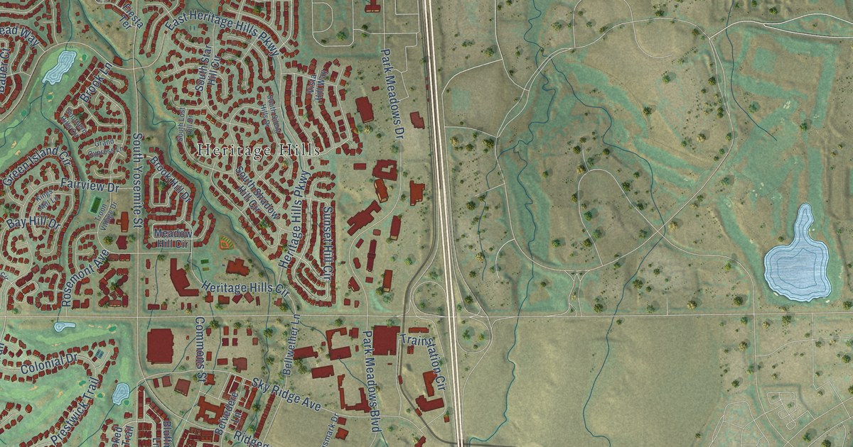
This beautifully detailed map of Lone Tree, Colorado was created in 2026 using aerial imagery combined with modern topographical, census, street and landmark data. It’s a one-of-a-kind view of Lone Tree that combines accurate data with a vintage aesthetic. The map shows every building in its true location, many of the roads carry their names, and the shaded topographic relief shows the shape of the land.
Explore an aerial view of Lone Tree, Colorado
On the map you’ll find City of Lone Tree Municipal Building, Park Meadows, Carriage Club, and Heritage Hills, along with East Lincoln Avenue, Sawgrass Drive, Stoneglen Trail, Bluffmont Drive, South Park Meadows Center Drive, Ptarmigan Trail, Carriage Club Drive, Brook Lane, and more. If you look closely you can even find your house accurately drawn in its correct location. Zoom in on the preview to look for yours.
Did you know this piece of Lone Tree, Colorado history?
From the Colorado Encyclopedia: "The city of Lone Tree was incorporated in 1996, with a population of around 3,000. Since then the city has quadrupled in size, going from a small bedroom community of Denver to a thriving suburb."
Take a closer look at the Lone Tree map
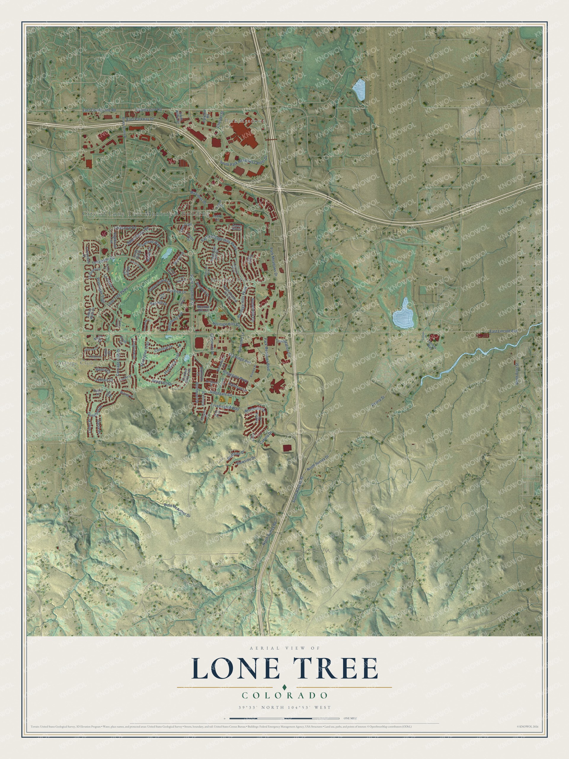
Street and place names on the Lone Tree, Colorado map
These names are printed on the map of Lone Tree, Colorado.
Places: City of Lone Tree Municipal Building, Park Meadows, Carriage Club and Heritage Hills.
Streets and roads: East Lincoln Avenue, Sawgrass Drive, Stoneglen Trail, Bluffmont Drive, South Park Meadows Center Drive, Ptarmigan Trail, Carriage Club Drive, Brook Lane, Ridgegate Parkway, Park Meadows Drive, South Yosemite Street, Lone Tree Parkway.
More street names, A to Z
Acres Green Drive, Alicante Road, Arrowhead Way, Arundel Lane, Aspen Hill Circle, Bantry Court, Bauer Court, Bay Hill Drive, Bellwether Lane, Belvedere Lane, Bismark Drive, Bluffmont Lane, Bluffside Drive, Bronti Circle, Brook Hill Drive, Cabela Drive, Chaparral Road, Chester Street, Colonial Drive, Commons Street, County Line Road, Crooked Stick Trail, Crossington Way, Cypress Point Circle, Dacre Place, Dunsford Drive, East County Line Road, East Heritage Hills Parkway, East Parkway Drive, Erin Place, Erminedale Drive, Fairview Drive, Fiesta Terrace, Grand Cypress Lane, Green Island Circle, Greensview Circle, Greentrail Circle, Halstead Lane, Heritage Hills Circle, Heritage Hills Parkway, Hillston Street, Indian Wells Drive, Kemper Drive, Kimmer Drive, Kings Mill Lane, Kornbrust Drive, La Costa Lane, Ladera Drive, La Quinta Drive, Lebruin Court, Lieter Place, Lioness Street, Lioness Way, Longview Drive, Marin Court, Maximus Drive, Meadow Hill Circle, Montecito Drive, North First Street, North Sky Drive, North Surrey Drive, North Surrey Road, Oakbrush Way, Parkland Road, Park Meadows Boulevard, Peoria Street, Pinyon Trail, Pirlot Place, Powderhorn Drive, Prestwick Trail, Rattlesnake Drive, Ridgegate Circle, Rivington Court, Rosemont Avenue, Sagebrush Trail, Scrub Oak Drive, Sky Ridge Avenue, Southern Hills Circle, South Havana Street, South Lost Hill Drive, South Shadow Hill Circle, South Silent Hills Drive, South Star Hill Circle, South Willow Street, Sunset Hill Circle, Sweet Water Road, Taos Trail, Teddy Lane, Teton Court, Timberline Road, Trainstation Circle, Troon Village Drive, Viewside Drive, Vista Hill Way, West McArthur Drive, Witney Place.
See the Lone Tree, Colorado map on a wall
The Lone Tree map as an 18 x 24 inch print in a black frame.

This beautifully detailed map of Lone Tree makes an attractive addition to your office, library, or den, and it can even be used to teach children the geography and history of the area. It also makes a great gift for someone who left Lone Tree and still calls it home. When you’re done exploring, click here to get your copy of the Lone Tree map.