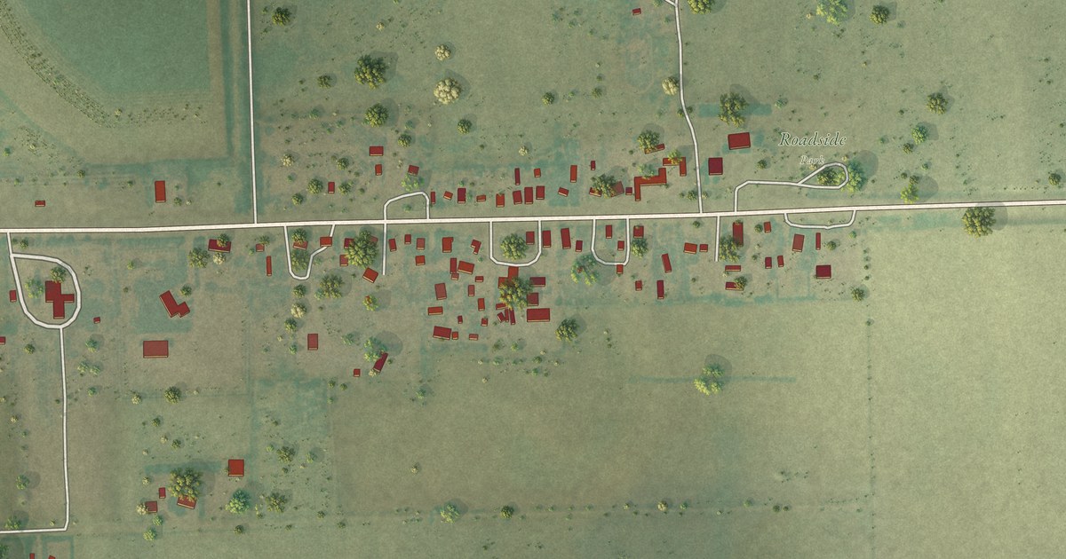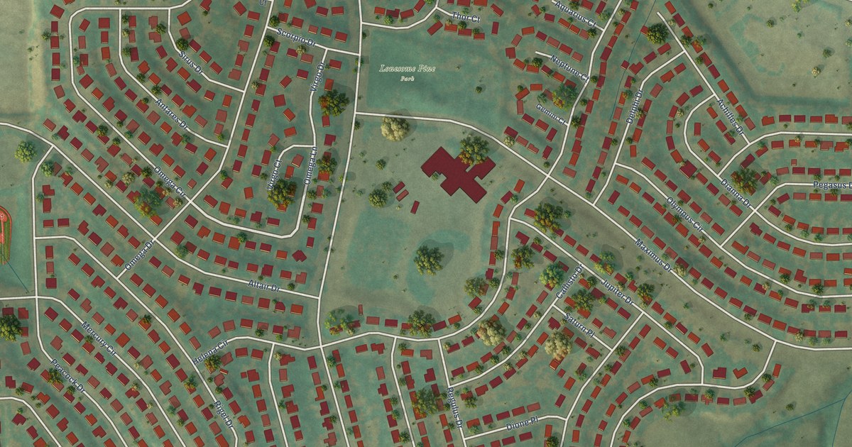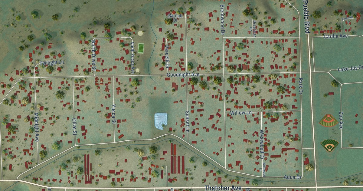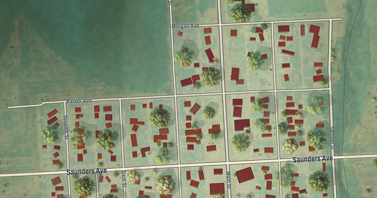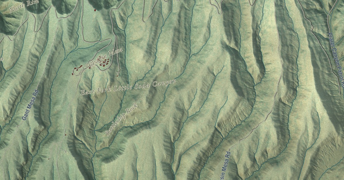
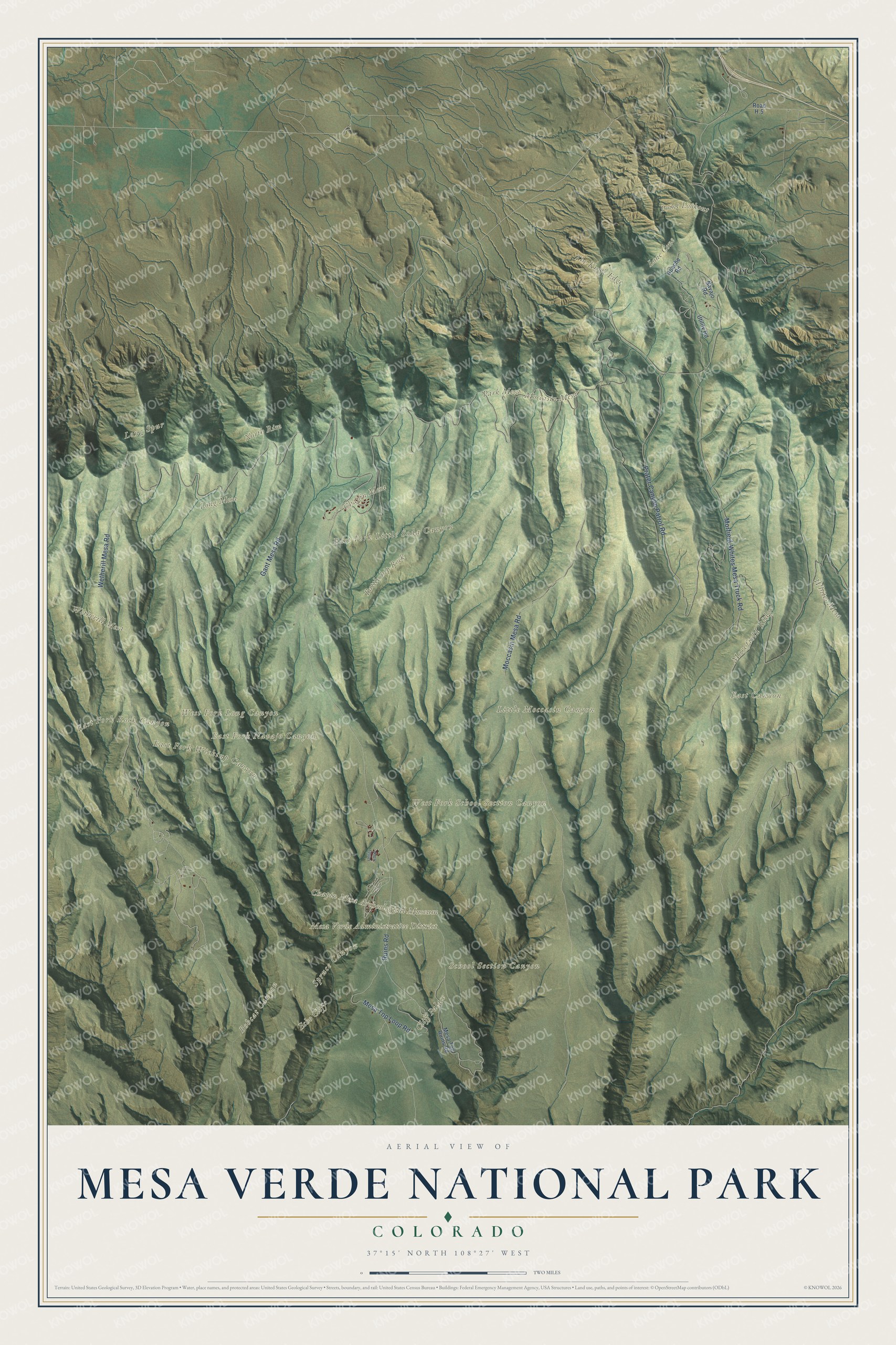
This beautifully detailed map of Mesa Verde National Park was created in 2026 using aerial imagery combined with modern topographical, census, street and landmark data. It covers the whole park, from Point Lookout and the North Rim down the long fingers of mesa that reach south, with the canyons that cut between them. Shaded topographic relief shows how the land tilts gently southward, and many of the park’s names follow the land itself, curving along the mesas and canyons they belong to.
Explore an aerial view of Mesa Verde National Park
On the map you’ll find Cliff Palace, Chapin Mesa, Wetherill Mesa, Park Mesa, Long Mesa, Moccasin Mesa, Whites Mesa, Point Lookout, Battleship Rock, The Knife Edge, Echo Cliff, Morefield Ridge, Spruce Canyon and School Section Canyon, along with the Chapin Mesa Archeological Museum, Ruins Road, Wetherill Mesa Road and the Mesa Top Loop Road. If you’ve toured a cliff dwelling or camped at Morefield, zoom in on the preview to find the mesa you explored.
Did You Know?
From the National Park Service: “On June 29, 1906, President Theodore Roosevelt established Mesa Verde National Park to preserve cultural heritage, the first national park of its kind.”
Mesa Verde is Spanish for “green table,” though geologists call it a cuesta, because the whole tableland tips toward the south at about seven degrees. It rises to 8,572 feet at Park Point. Ancestral Pueblo people lived here from about 550 to 1300 CE, and the park protects more than 5,000 archeological sites, among them more than 600 cliff dwellings set into canyon alcoves. Most of those cliff villages were built between 1180 and 1280. Cliff Palace, the largest, had about 150 rooms and 23 kivas and was home to roughly 100 people, according to the park’s Cliff Palace page. On December 18, 1888, the rancher Richard Wetherill and his brother-in-law Charles Mason first saw it while they were out looking for lost cattle with their Ute guide, Acowitz.
Take a closer look at the Mesa Verde National Park map
See it on a wall
The Mesa Verde National Park map as a framed print. Swipe for more.


This beautifully detailed map of Mesa Verde National Park makes an attractive addition to your office, library, or den, and it can even be used to teach children how the Ancestral Pueblo people lived on the mesas and in the cliffs. It also makes a great gift for anyone who has climbed the ladders into a cliff dwelling or is planning a first trip. When you’re done exploring, click here to get your copy of the Mesa Verde National Park map.