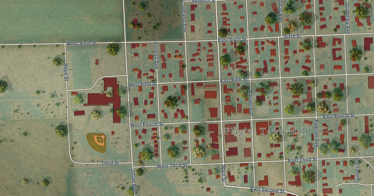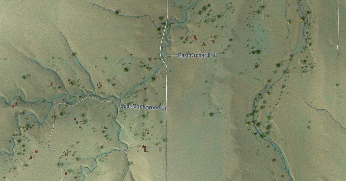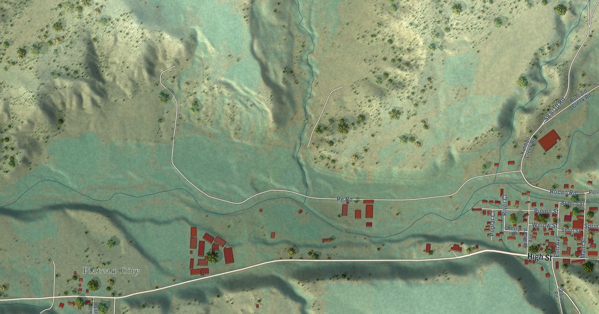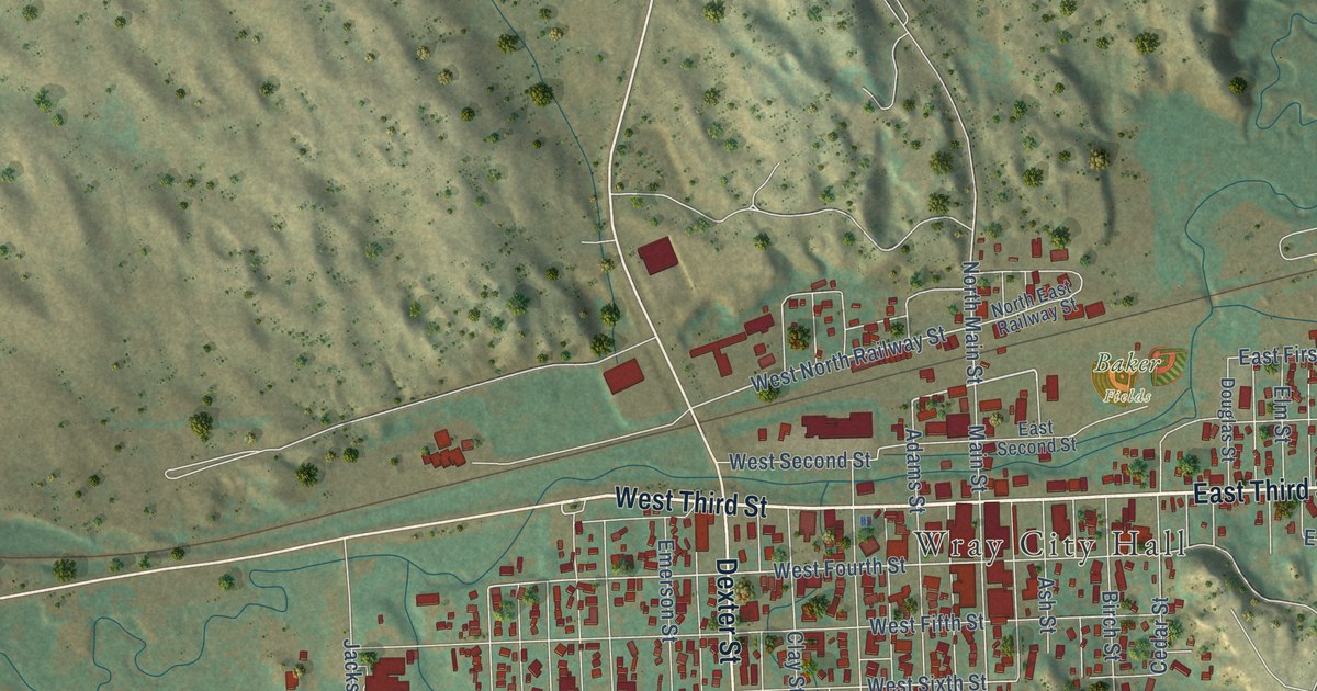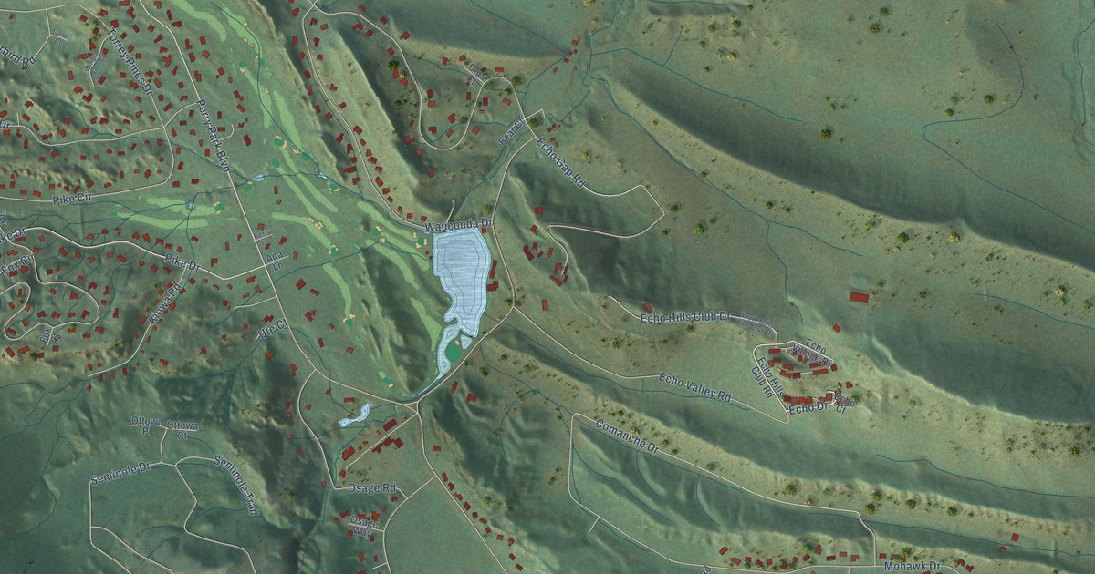
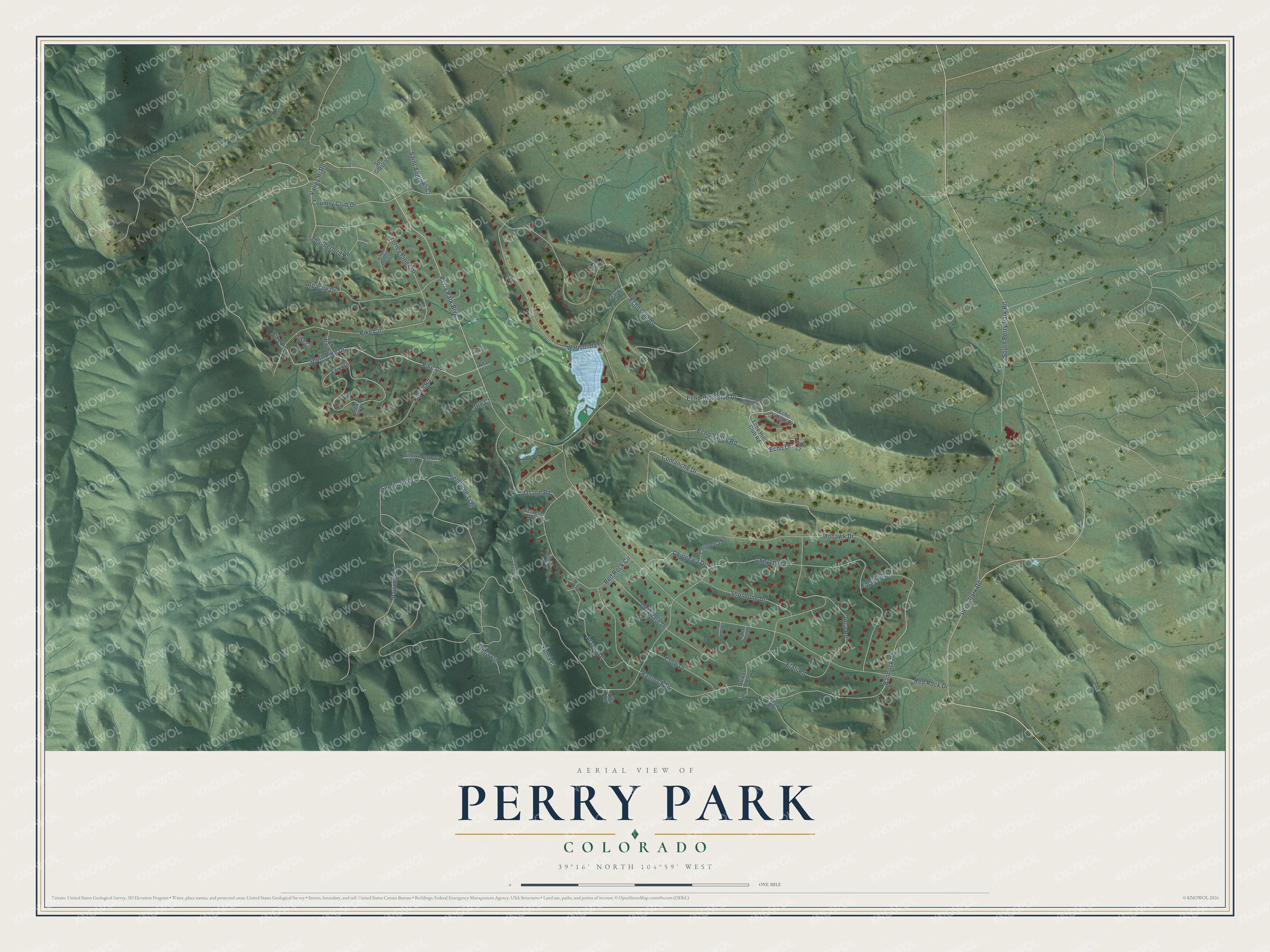
This beautifully detailed map of Perry Park, Colorado was created in 2026 using aerial imagery combined with modern topographical, census, street and landmark data. It's a modern aerial view of Perry Park in Douglas County, Colorado, that combines modern data with a vintage aesthetic. The roads feature printed names, and if you look closely you can find your exact house accurately shown in its correct location.
Explore an aerial view of Perry Park, Colorado
On this map you'll find Echo Drive, Perry Park Boulevard, Perry Park Road, Valley Hi Road, Pike Drive, Comanche Drive, Bannock Road, Cheyenne Drive, Country Club Drive, Red Rock Drive, Bannock Drive, Mohawk Drive, and more. Each red shape is a building, so zoom in on the preview and look for yours.
Every town has a first chapter, and Perry Park is no exception. Perry Park was founded in 1872, when John D. Perry of St. Louis, president of the Kansas Pacific Railroad, bought 4,000 acres from several ranchers. His son Charles managed the shorthorn cattle ranch there. In 1888 a resort company dammed Bear Creek to form Lake Wauconda, and a large hotel opened there the next year. That's from the Larkspur Historical Society.
Perry Park is a community in Douglas County. The Census Bureau counted 1,932 people here in 2020.
Take a closer look at the Perry Park map
Names on this map
These names are printed on this map.
Streets and roads: Echo Drive, Perry Park Boulevard, Perry Park Road, Valley Hi Road, Pike Drive, Comanche Drive, Bannock Road, Cheyenne Drive, Country Club Drive, Red Rock Drive, Bannock Drive, Mohawk Drive.
More street names, A to Z
Acoma Court, Acoma Drive, Ada Lane, Apache Drive, Bear Court, Cheyenne Way, Chippewa Drive, Chippewa Road, Club Court, Crow Drive, Crow Place, Crow Road, Delaware Drive, Doral Court, Echo Court, Echo Gap Road, Echo Hills Club Drive, Echo Hills Club Road, Echo Valley Road, Echo Village Drive, Elati Road, Fox Circle, Fox Court, Fox Way, Gerry Lane, Gila Road, Inca Road, Kalamath Drive, Kiowa Road, Osage Road, Osage Way, Ottowa Court, Ottowa Place, Pawnee Road, Pike Circle, Pike Court, Pike Place, Quivas Road, Red Rock Circle, Red Rock Court, Red Rock Place, Saint Andrews Court, Seminole Drive, Seminole Trail, Shoshone Drive, South Echo Hills Club Drive, South Perry Park Road, South Pike Drive, Spy Glass Court, Thunderbird Road, Torrey Pines Drive, Troon Court, Ute Court, Wauconda Drive, Winged Foot Court, Yuma Circle, Yuma Court.
See it on a wall
The Perry Park map as a framed print. Swipe for more.


Created by KNOWOL in 2026. The buildings are small red shapes, the roads carry their printed names, and shaded relief shows the shape of the land. The title panel reads "AERIAL VIEW OF PERRY PARK, COLORADO" with 39°16' NORTH 104°59' WEST.
Hang it in the hallway, the office or the cabin, or give it to someone who left Perry Park and still calls it home. Open the preview and look for a street you know. See sizes and frames for the Perry Park map.