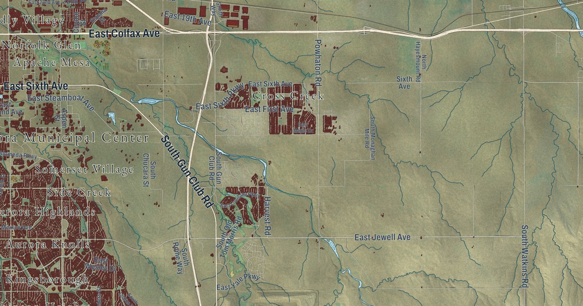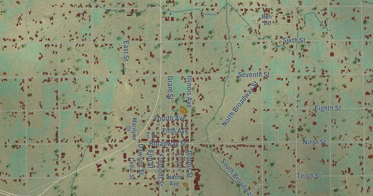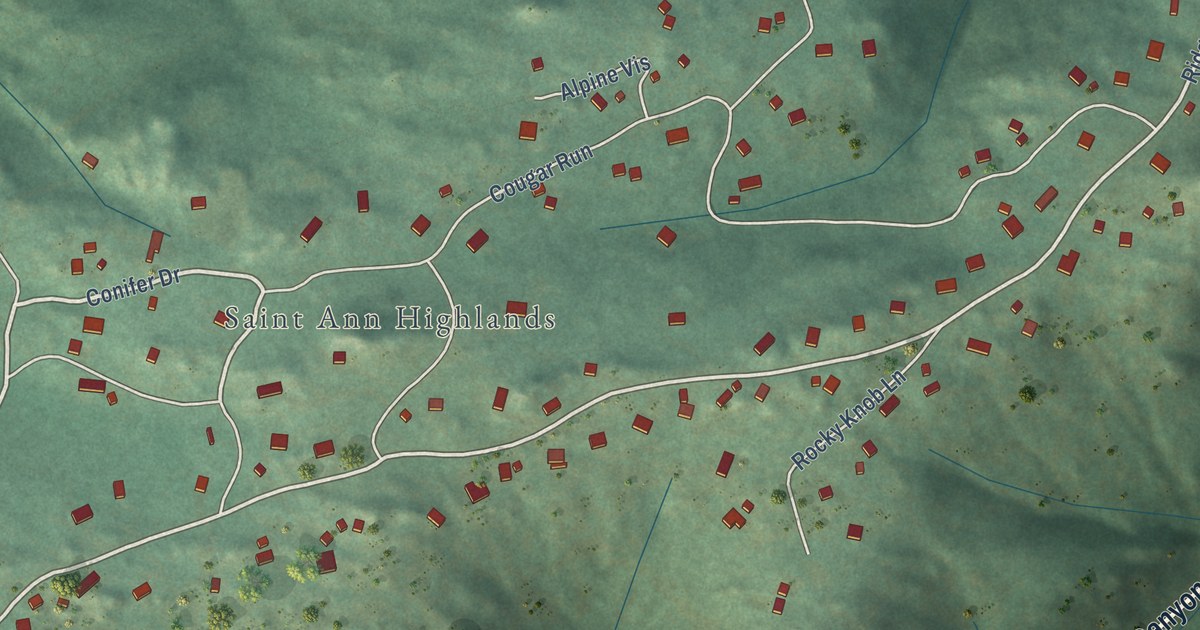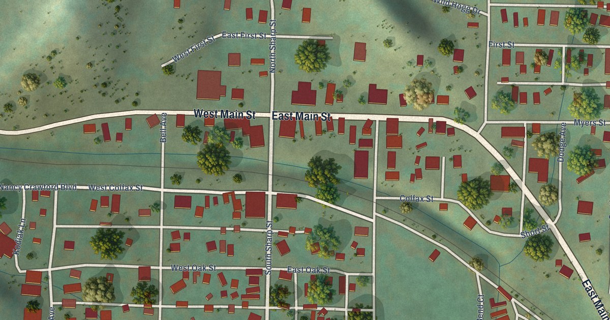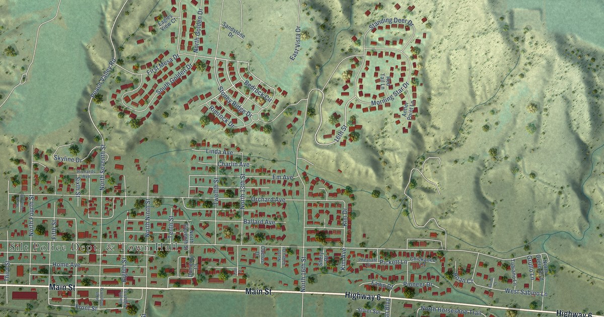
This beautifully detailed map of Silt, Colorado was created in 2026 using aerial imagery combined with modern topographical, census, street and landmark data. It’s a one-of-a-kind view of Silt that combines accurate data with a vintage aesthetic. The map shows every building in its true location, many of the roads carry their names, and the shaded topographic relief shows the shape of the land.
Explore an aerial view of Silt, Colorado
On the map you’ll find Highway 6, Main Street, Lyon Boulevard, South Horseshoe Trail, Bedrock Circle, North Horseshoe Trail, Front Street, Sixth Street, North 16th Street, 16th Street, Kim Drive, Kim Avenue, and more. If you look closely you can even find your house accurately drawn in its correct location. Zoom in on the preview to look for yours.
Did you know this piece of Silt, Colorado history?
From the National Register of Historic Places: "While Nunns built several other houses in Silt, this house has the highest degree of integrity and the only one in Silt with the unusual cupola based on a reconnaissance survey completed by Colorado National and State Register staff in June 2013."
Take a closer look at the Silt map
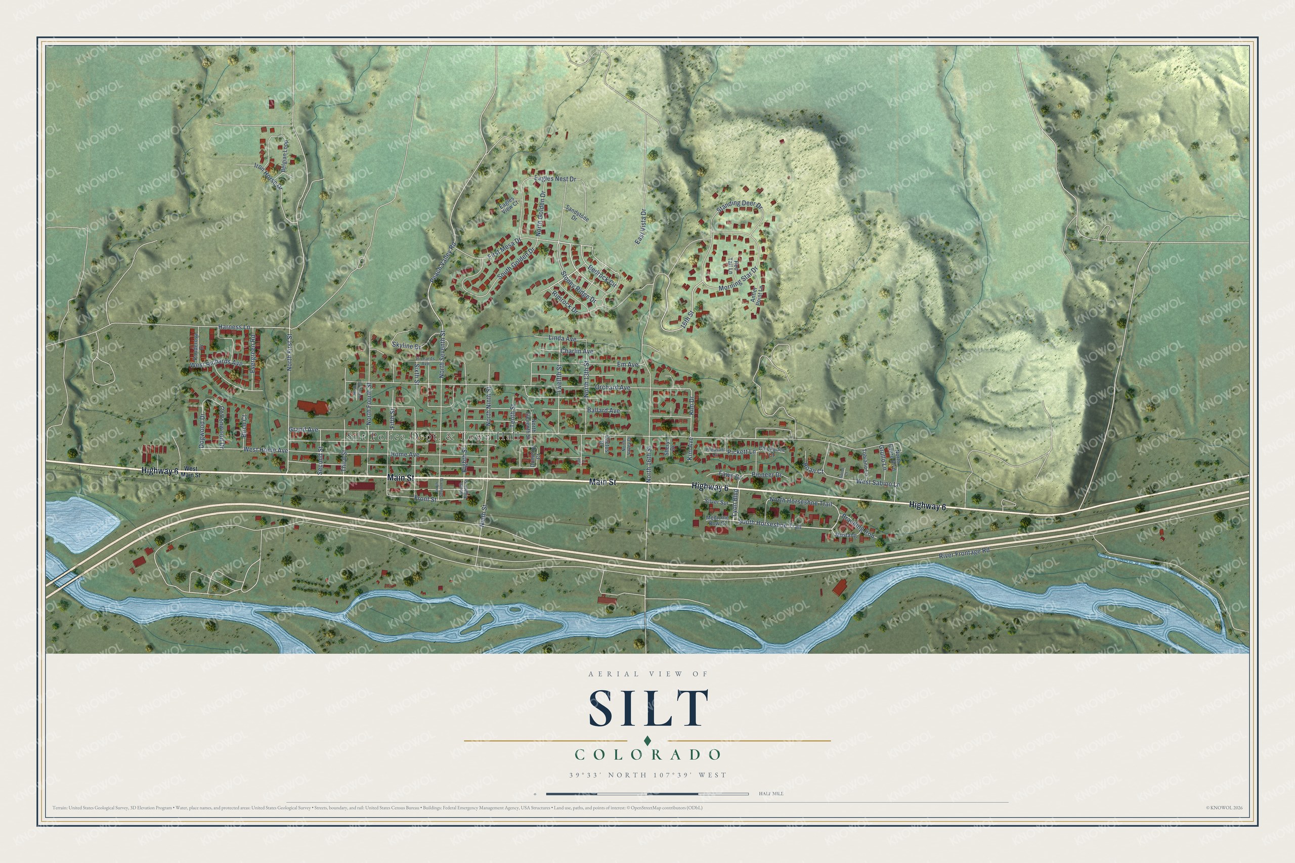
Street and place names on the Silt, Colorado map
These names are printed on the map of Silt, Colorado.
Places: Silt Police Dept. & Town Hall.
Streets and roads: Highway 6, Main Street, Lyon Boulevard, South Horseshoe Trail, Bedrock Circle, North Horseshoe Trail, Front Street, Sixth Street, North 16th Street, 16th Street, Kim Drive, Kim Avenue.
More street names, A to Z
13th Street, Antler Point Lane, Ballard Avenue, Belgian Loop, Birch Court, Branding Iron, Cactus Drive, Charlin Avenue, Chickadee Court, Cottonwood Drive, Dogwood Drive, Domelby Court, Eagles Nest Drive, Eagles View Court, East Vista Drive, Eighth Street, Em Avenue, Evergreen Road, Fawn Court, Fifth Street, First Mesa Drive, Grand Avenue, Grullo Lane, Harness Lane, Home Avenue, Iron Horse Drive, Linda Avenue, Medicine Bow Court, Morning Star Drive, Mustang, Ninth Street, North 13th Street, North Eleventh Street, North First Street, North Fourth Street, North Golden Drive, North Ninth Street, North Overo Boulevard, North Seventh Street, North Valley Drive, North Valley Road, Orchard Avenue, Peach Valley Road, Pheasant Cv, Pickett Lane, Pioneer Drive, Ponderosa Drive, Red Tail Lane, Richards Avenue, Rimrock Drive, River Frontage Road, Roan Court, Sandstone Drive, Second Street, Sheryl Drive, Silver Spr, Skyline Drive, Sorrel Court, South Eighth Street, South Golden Drive, South Seventh Street, Standing Deer Drive, Stoney Ridge Drive, Tenth Street, Third Street, Tobiano Lane, Twelfth Street, West Home Avenue, West Main Street, West Richards Avenue, West Sabino Lane.
See the Silt, Colorado map on a wall
The Silt map as an 18 x 24 inch print in a black frame.

This beautifully detailed map of Silt makes an attractive addition to your office, library, or den, and it can even be used to teach children the geography and history of the area. It also makes a great gift for anyone with Silt roots. When you’re done exploring, click here to get your copy of the Silt map.