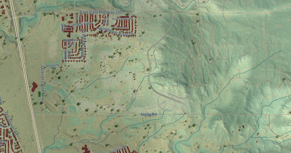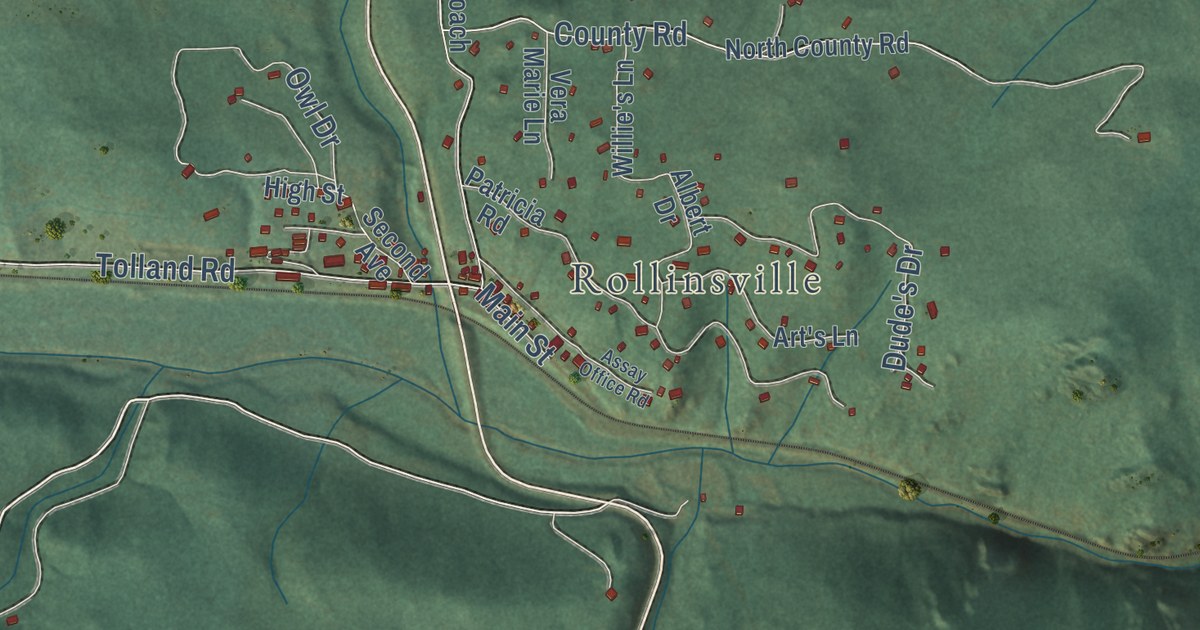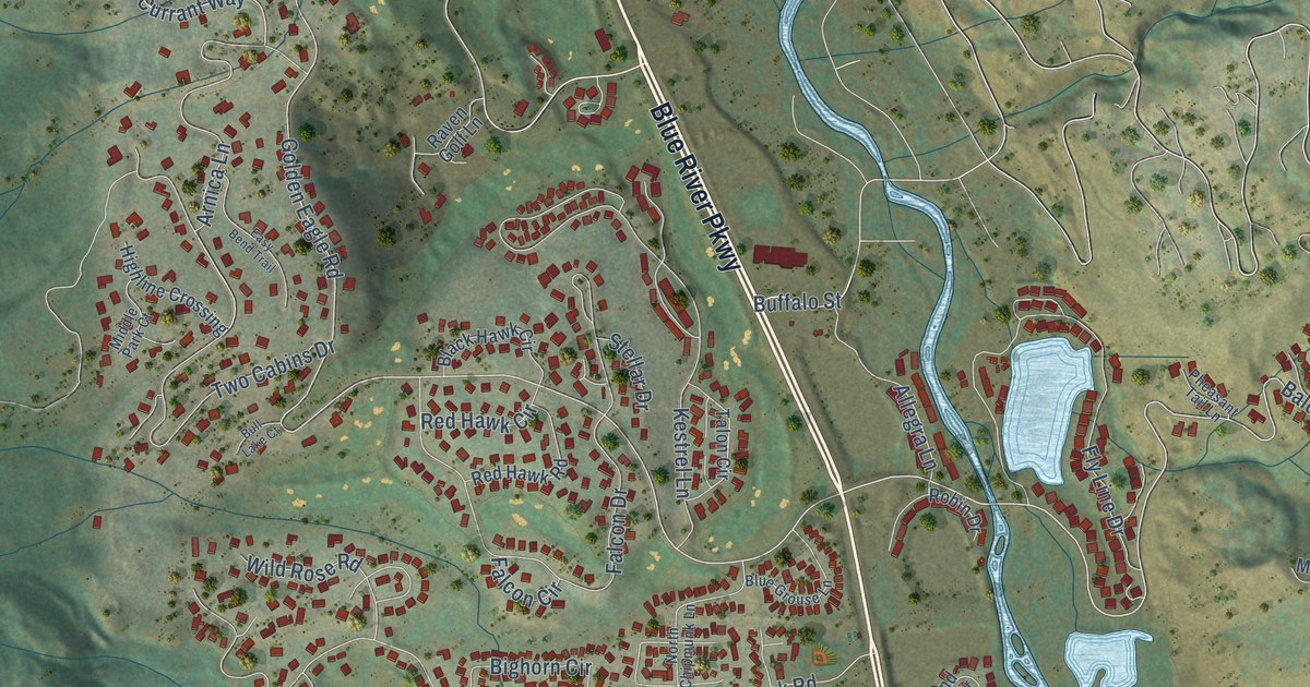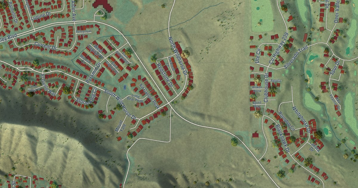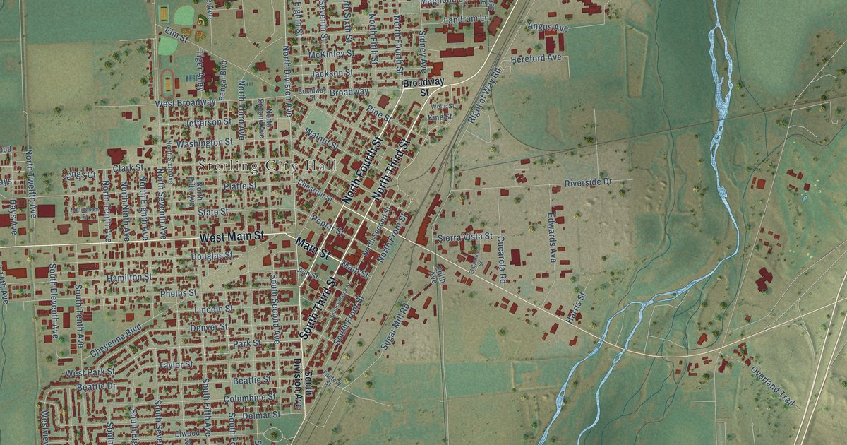
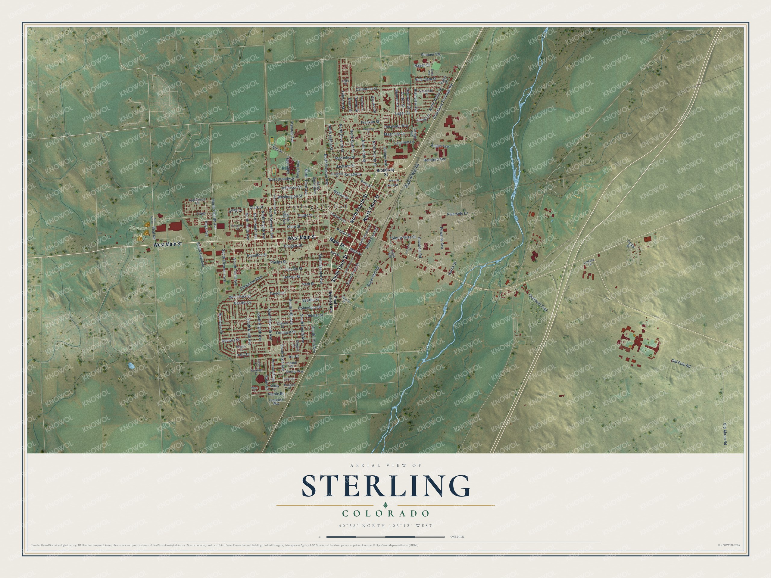
This beautifully detailed map of Sterling, Colorado was created in 2026 using aerial imagery combined with modern topographical, census, street and landmark data. It’s a one-of-a-kind view of Sterling that combines accurate data with a vintage aesthetic. The map shows every building in its true location, many of the roads carry their names, and the shaded topographic relief shows the shape of the land.
Explore an aerial view of Sterling, Colorado
On the map you’ll find Sterling City Hall and Pioneer Park, along with North Third Street, South Third Street, Main Street, North Fourth Street, West Main Street, North Division Avenue, Franklin Street, Park Street, Beal Road, Hays Avenue, and more. If you look closely you can even find your house accurately drawn in its correct location. Zoom in on the preview to look for yours.
Did you know this piece of Sterling, Colorado history?
From the Colorado Encyclopedia: "In 1905 the Sterling Sugar Company built a beet-processing factory just across the railroad tracks from Front Street and the town’s commercial center. The Great Western Sugar Company bought the plant the next year, and Sterling began its long tenure as a regional center of the sugar beet industry in northeast Colorado."
Take a closer look at the Sterling map
Street and place names on the Sterling, Colorado map
These names are printed on the map of Sterling, Colorado.
Places: Sterling City Hall and Pioneer Park.
Streets and roads: North Third Street, South Third Street, Main Street, North Fourth Street, West Main Street, North Division Avenue, Franklin Street, Park Street, Beal Road, Hays Avenue, Broadway, Denver Street.
More street names, A to Z
Adams Circle, Angus Avenue, Applewood Circle, Arianne Drive, Ash Street, Ball Park Road, Bannock Street, Beattie Drive, Beattie Street, Bengal Boulevard, Broadway Street, California Street, Castle Drive, Charmony Frontage Road, Cheairs Court, Chestnut Street, Cheyenne Boulevard, Clark Street, College Avenue, Colorado Place, Columbine Street, Coolidge Street, Cortez Street, Cucarola Road, Dawes Street, Delaware Street, Delaware Way, Delmar Street, Douglas Street, Edith Avenue, Edwards Avenue, El Camino Street, Elm Street, Elwood Street, Evans Street, Factory Street, Fairhurst Street, Fillmore Street, Glenora Street, Globe Street, Hagen Street, Hamilton Street, Harris Street, Hays, Heather Street, Hereford Avenue, Holly Drive, Iris Drive, Jackson Street, Jefferson Street, Jones Lane, Jonquil Road, Kings Court, King Street, Kochia Way, Landrum Lane, Leisure Lane, Lily Lane, Lincoln Street, Logan Street, Macgregor Street, Magnolia Lane, Marigold Drive, McKinley Street, Mindy Circle, Mindy Court, Nicole Road, North Eighth Avenue, North Eighth Street, North Fifth Avenue, North Fifth Street, North Front Street, North Ninth Avenue, North Second Avenue, North Second Street, North Seventh Avenue, North Seventh Street, North Sixth Avenue, North Sixth Street, North Tenth Avenue, North Third Avenue, North Twelfth Avenue, North Valley Drive, Nottingham Court, Old Akron Road, Old Pole Road, Oleander Way, Overland Trail, Pawnee Avenue, Pheasant Ridge, Phelps Street, Pine Street, Pioneer Road, Plainview Avenue, Platte Street, Poplar Street, Right of Way Road, Riverside Drive, Robin Road, Sidney Avenue, Sierra Vista Street, South 14th Avenue, South Division Avenue, South Eighth Avenue, South Eleventh Avenue, South Fifth Avenue, South Fourth Avenue, South Front Street, South Ninth Avenue, South Second Avenue, South Second Street, South Seventh Avenue, South Sixth Avenue, South Tenth Avenue, South Third Avenue, State Street, Sugar Mill Road, Taylor Street, Tiger Alley, Valley Drive, Verde Avenue, Villa Vista Street, Walnut Street, Washington Street, Wells Street, West Broadway, West Park Street, Westview Drive, Zachary Drive.
See the Sterling, Colorado map on a wall
The Sterling map as an 18 x 24 inch print in a black frame.

This beautifully detailed map of Sterling makes an attractive addition to your office, library, or den, and it can even be used to teach children the geography and history of the area. It also makes a great gift for anyone with Sterling roots. When you’re done exploring, click here to get your copy of the Sterling map.