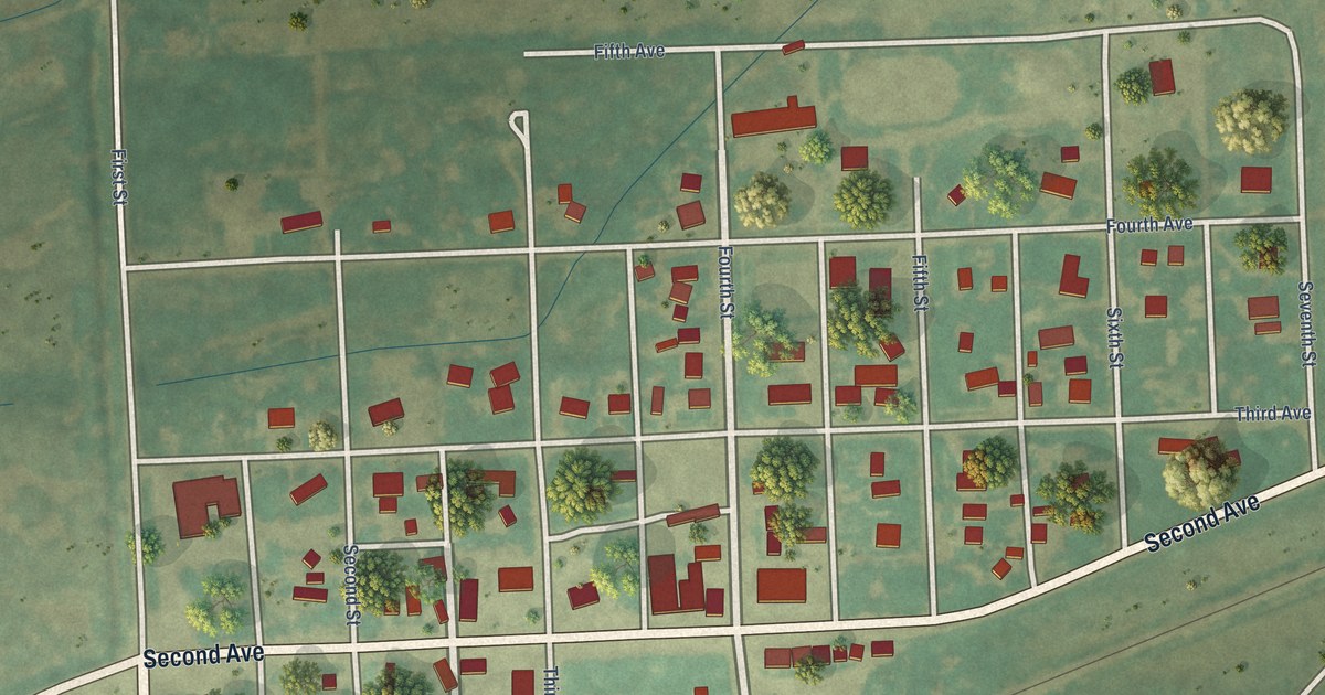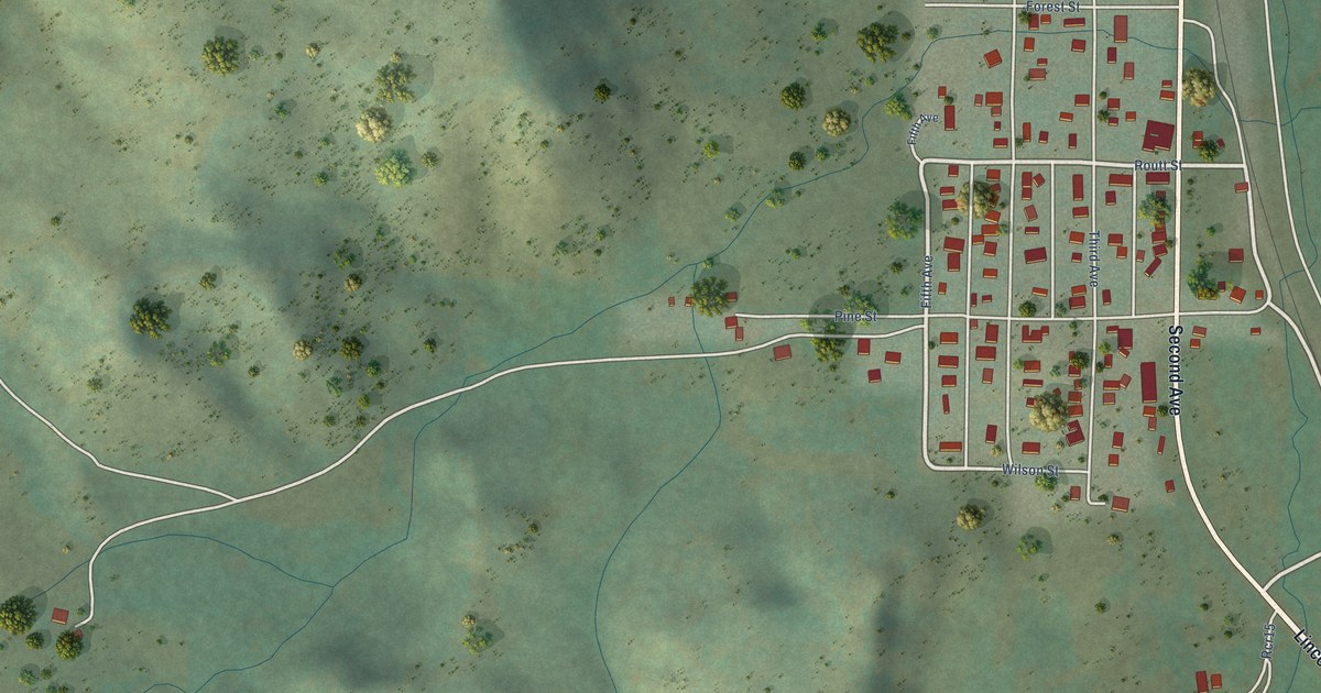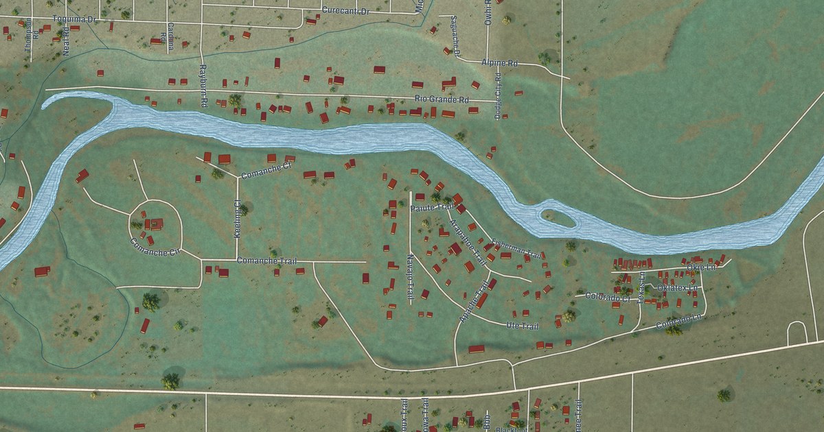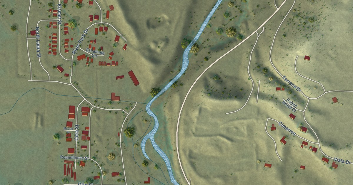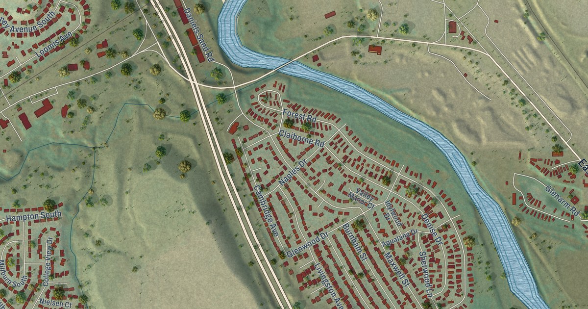
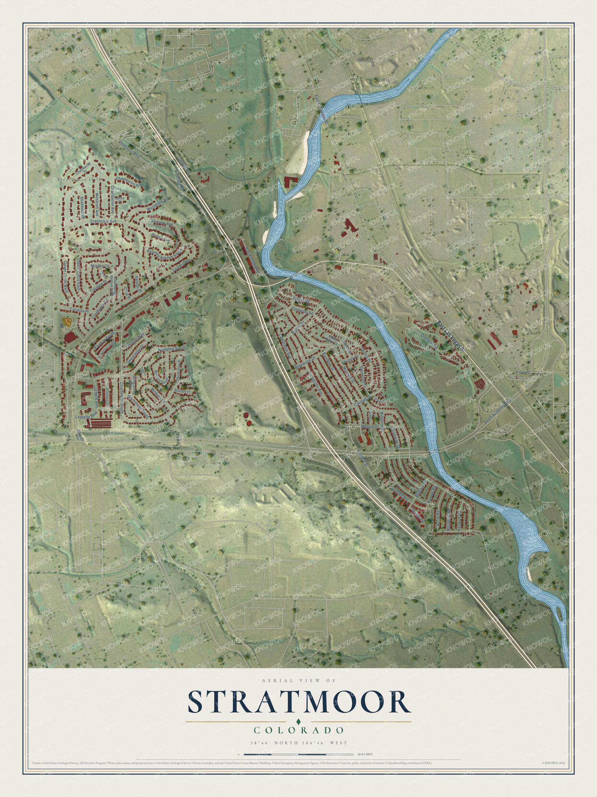
This beautifully detailed map of Stratmoor, Colorado was created in 2026 using aerial imagery combined with modern topographical, census, street and landmark data. It's a modern aerial view of Stratmoor in El Paso County, Colorado, that combines modern data with a vintage aesthetic. The roads feature printed names, and if you look closely you can find your exact house accurately shown in its correct location.
Explore an aerial view of Stratmoor, Colorado
On this map you'll find Stratmoor Hills, Skinners, East Las Vegas Street, Forest Road, Venetucci Boulevard, Glenwood Drive, Maxwell Street, Claiborne Road, Keswick Road, Millburn Drive, Fairway South, Daniels Sand Road, and more. Each red shape is a building, so zoom in on the preview and look for yours.
Stratmoor is a community in El Paso County. The Census Bureau counted 6,518 people here in 2020. Stratmoor sits about 4 miles northwest of Security-Widefield, 6 miles northeast of Rock Creek Park and 6 miles north of Fort Carson. The map prints the town name in its title panel, with the coordinates below it.
Take a closer look at the Stratmoor map
Names on this map
These names are printed on this map.
Places: Stratmoor Hills and Skinners.
Streets and roads: East Las Vegas Street, Forest Road, Venetucci Boulevard, Glenwood Drive, Maxwell Street, Claiborne Road, Keswick Road, Millburn Drive, Fairway South, Daniels Sand Road, South Academy Boulevard, Loomis Avenue.
More street names, A to Z
Aqualane Drive, Ascot Road, Axtell Street South, Barkley Road, Bradley Road, Burnham Street, Cambridge Avenue, Catalina Drive, Catalina Place, Chadwick Drive, Chamberlin Avenue, Chamberlin Avenue South, Chamberlin Drive, Chamberlin Place, Chamberlin South, Cliveden Heights, Clover Circle East, Clover Circle West, College View Drive, Corning Drive, Corning Place, Coventry Drive, Cranbrook Circle, Crestridge Avenue, Denise Drive, Dove Place, Drummond South, Ericson Drive, Frontage Road, Glenarm Road, Greensboro South, Hampton Circle, Hampton South, Harrow Road, Hartford Street, Idylwood Drive, Janitell Road, Jewel Avenue, Kearney Avenue, Kearney Avenue South, Lashelle Avenue, Lashelle Way, Livingston Avenue, Magrath Avenue, Millburn South, Minden Circle, Naples Drive, Nielsen Court, Sherwood Lane, Sinton Avenue, Stratmoor Drive, Swearinger Drive, Tanager Way, Union Place, Upsala Vw, Valjean Place, Valley Manor Court, Welton Drive, Westcott Avenue, Westmark Avenue, Whitehall Road, Willshire Drive.
See it on a wall
The Stratmoor map as a framed print. Swipe for more.


Created by KNOWOL in 2026. The buildings are small red shapes, the roads carry their printed names, and shaded relief shows the shape of the land. The title panel reads "AERIAL VIEW OF STRATMOOR, COLORADO" with 38°46' NORTH 104°46' WEST.
It suits a den, a classroom or a front hall, and it makes a gift for anyone with Stratmoor roots. Open the preview and find the block you know. See sizes and frames for the Stratmoor map.