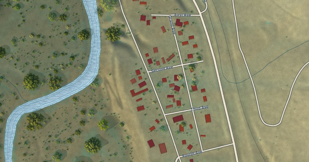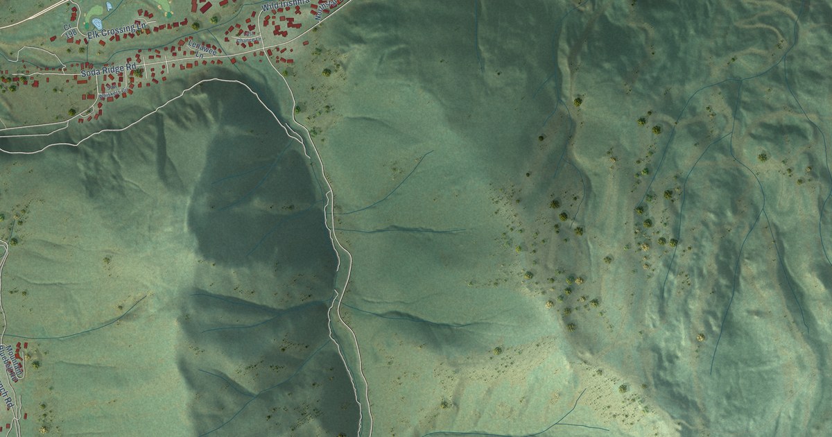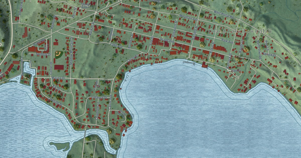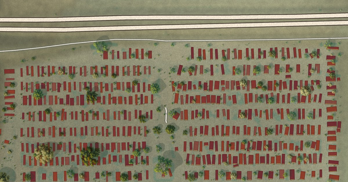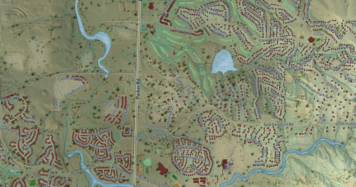
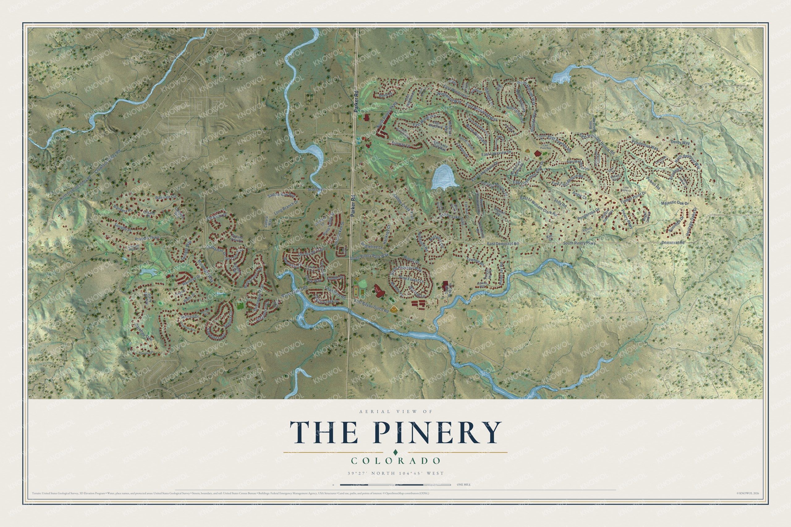
This beautifully detailed map of The Pinery, Colorado was created in 2026 using aerial imagery combined with modern topographical, census, street and landmark data. It's a modern aerial view of The Pinery in Douglas County, Colorado, that combines modern data with a vintage aesthetic. The roads feature printed names, and if you look closely you can find your exact house accurately shown in its correct location.
Explore an aerial view of The Pinery, Colorado
On this map you'll find Colorado Golf Club, Parker Road, South Pinery Parkway, East Democrat Road, North Hillside Way, Pinery Parkway, North Pinery Parkway, Hillside Way, Democrat Road, Chambers Road, Craftsman Drive, East Bayou Gulch Road, and more. Each red shape is a building, so zoom in on the preview and look for yours.
The Pinery is a community in Douglas County. The Census Bureau counted 11,311 people here in 2020. The map prints the town name in its title panel, with the coordinates below it.
Take a closer look at The Pinery map
Names on this map
These names are printed on this map.
Places: Colorado Golf Club.
Streets and roads: Parker Road, South Pinery Parkway, East Democrat Road, North Hillside Way, Pinery Parkway, North Pinery Parkway, Hillside Way, Democrat Road, Chambers Road, Craftsman Drive, East Bayou Gulch Road, Irish Pat Murphy Drive.
More street names, A to Z
Angie Court, Autumn Brush Court, Bandera Place, Bayou Gulch Road, Ben Park Circle, Betts Ranch Road, Bridle Path Lane, Bur Oak Lane, Caballo Place, Cadara Way, Campina Way, Carefree Trail, Cherry Creek Drive, Cistena Way, Coronado Court, Creek Way, Crescent Moon Place, Crowfoot Valley Road, Derby Way, Desperado Way, Distant View Place, Dove Court, East Carriage Lane, East Lake Cliff Way, East Lakeshore Drive, East Lakeview Drive, East Lightening View Drive, East Lt William Clark Road, East Mad River Road, East Pawnee Road, East Piute Row, East Sunridge Hollow Road, East Thunderbird Road, East Windcrest, East Windford, East Windfront, East Windlawn, East Windlawn Way, East Windwood, East Windwood Way, Elbert Place, Elizabeth Street, Fairway Lane, Fonder Drive, Fox Run Court, Hackney Court, Heritage Oaks Drive, Hidden Oaks Way, Hill Court, Hillgate, Hillridge Place, Hillview Street, Interlocken Street, Kim Court, Lakepoint, Leathers Lane, Lone Timber Court, Long Branch Drive, Majestic Oak Drive, Meadow Vw, Mining Camp Trail, Moonlight Way, Morning Star Place, Mountain View Drive, North Belmont Way, North Crowfoot Valley Road, North Eldorado Court, North Hillcrest, North Hillpark, North Hillpoint, North Hyperion Way, North Pine Hollow Drive, North Thunderhill Road, North Windfield, North Windmont Avenue, North Wind Vw, Northwoods Glen Drive, Nuthatch Circle, Nuthatch Road, Old Divide Trail, Pawnee Road, Pine Forest Lane, Pinery Drive, Pinon Jay Road, Pinto Valley Street, Pinyon Jay Road, Ponderosa Drive, Ponderosa Way, Powell Road, Pradera Parkway, Prairie Lake Trail, Raintree Circle, Raintree Drive, Regal Oak Lane, Rialto Drive, Rustler Trail, Saddle Bow Avenue, Saddle Creek Trail, Santero Way, Sawdust Loop, Scott Avenue, Sedona Circle, Sedona Drive, Selly Road, Singletree Lane, Sonado Place, South Pinery Drive, South Pinery Park Way, Spr Cross Trail, Starry Sky Way, Stetson Road, Streambed Trail, Sunridge Drive, Talavero Place, Territorial Street, Thunderhill Road, Timber Point Drive, Towhee Road, Trappers Trail Avenue, Twilight Way, Victoria Lane, Vistancia Drive, Wagontrail Court, Westview Circle, Wild Berry Court, Wilderness Place, Windlawn Way, Windwood Way.
See it on a wall
The The Pinery map as a framed print. Swipe for more.


Created by KNOWOL in 2026. The buildings are small red shapes, the roads carry their printed names, and shaded relief shows the shape of the land. The title panel reads "AERIAL VIEW OF THE PINERY, COLORADO" with 39°27' NORTH 104°45' WEST.
It looks right in a kitchen, an office or a den, and it's a gift for anyone who grew up in The Pinery or moved away. Open the preview and find your street. See sizes and frames for The Pinery map.