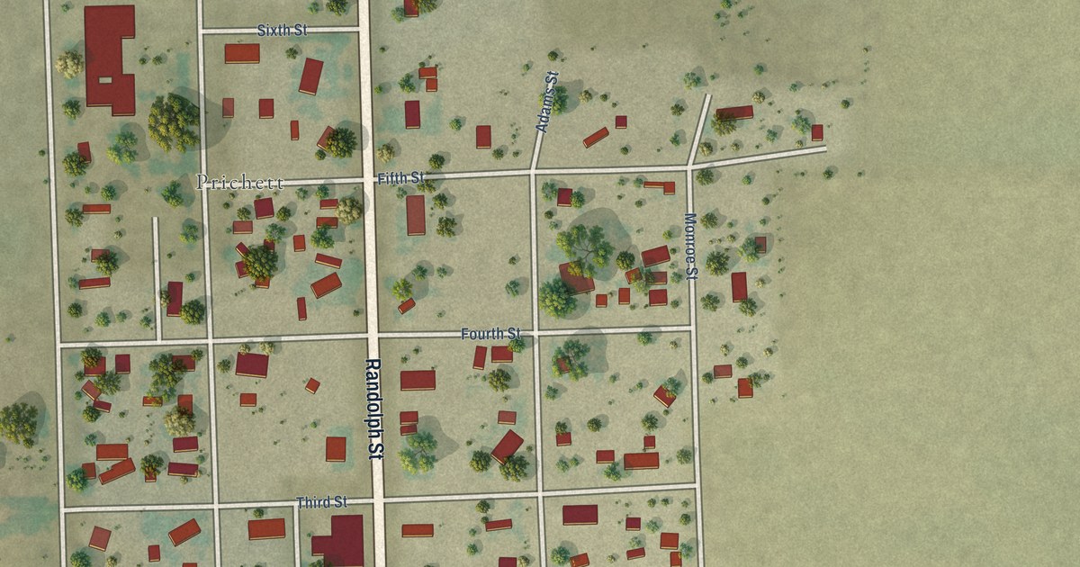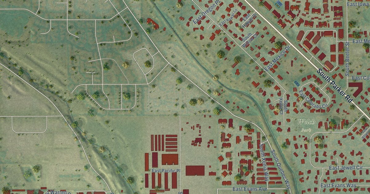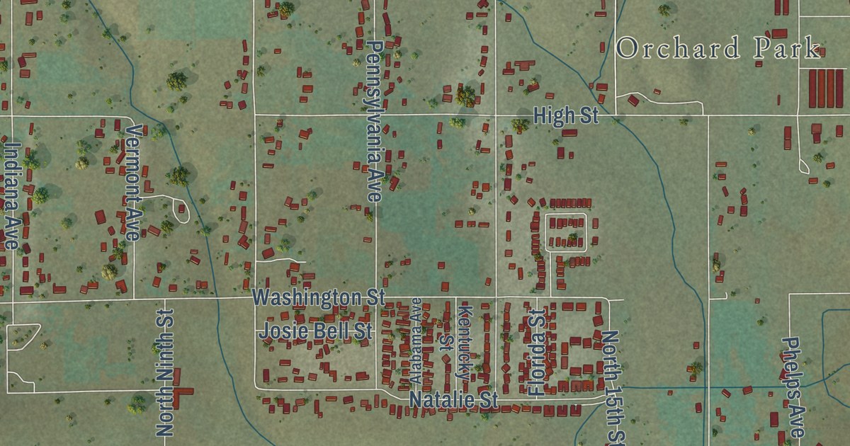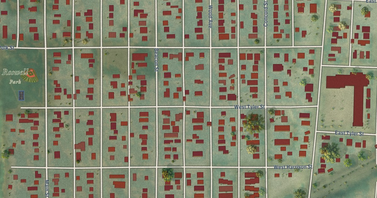
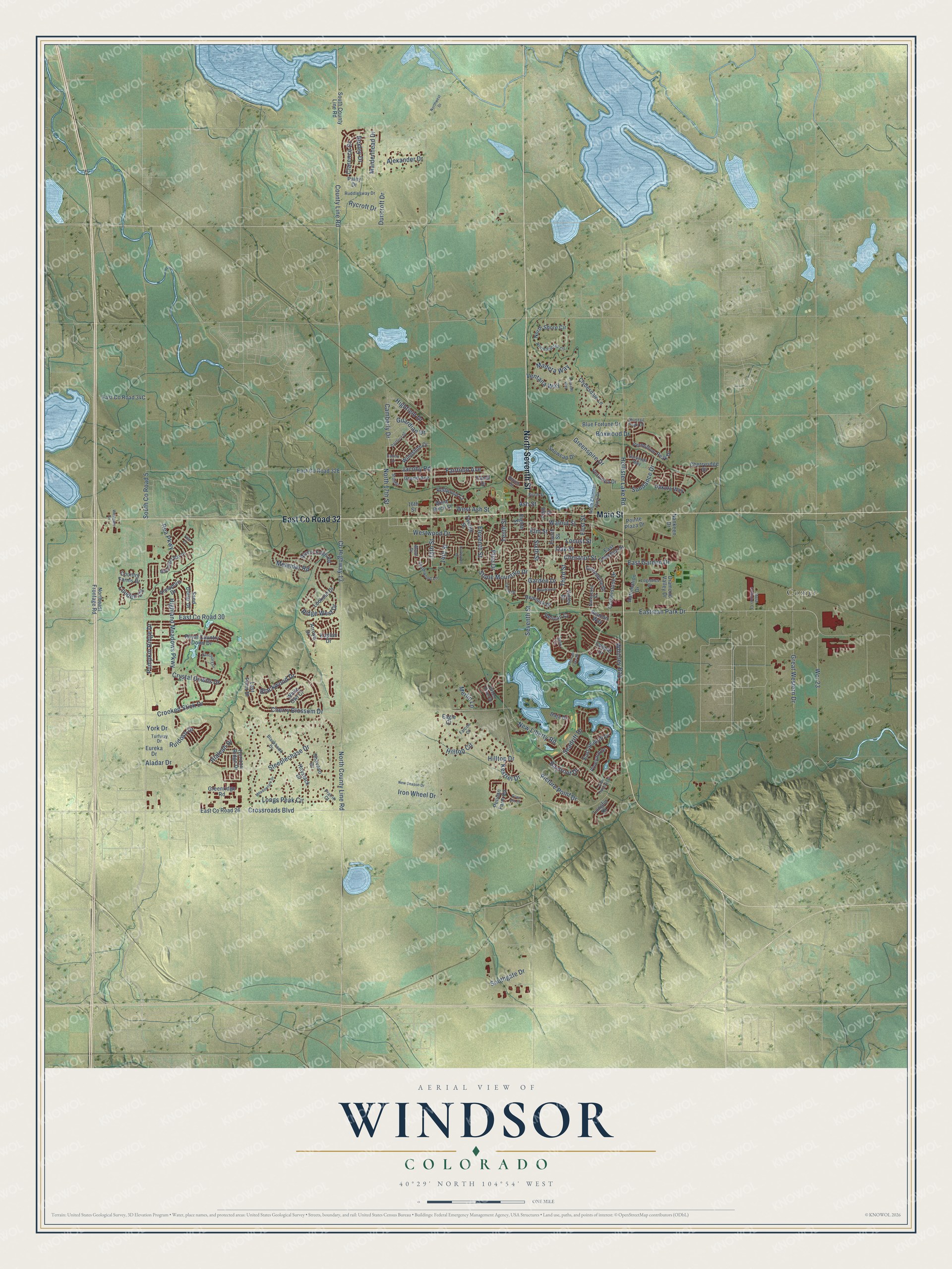
This beautifully detailed map of Windsor, Colorado was created in 2026 using aerial imagery combined with modern topographical, census, street and landmark data. It’s a one-of-a-kind view of Windsor that combines accurate data with a vintage aesthetic. The map shows every building in its true location, many of the roads carry their names, and the shaded topographic relief shows the shape of the land.
Explore an aerial view of Windsor, Colorado
On the map you’ll find Comer and East Co Road 32, along with Main Street, North Seventh Street, Bayfront Drive, Greenspire Drive, Hollister Lake Road, North 17th Street, Sundance Drive, Highland Meadows Parkway, Fairfield Avenue, Camberly Drive, and more. If you look closely you can even find your house accurately drawn in its correct location. Zoom in on the preview to look for yours.
Did you know this piece of Windsor, Colorado history?
From Place Names in Colorado: "Windsor (Weld) For Reverend A. S. Windsor. It was formerly known as NEW LIBERTY and also NEW Windsor."
Take a closer look at the Windsor map
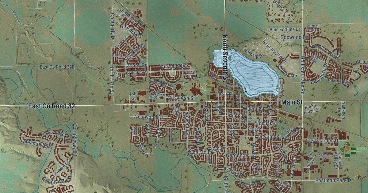
Street and place names on the Windsor, Colorado map
These names are printed on the map of Windsor, Colorado.
Places: Comer.
Streets and roads: Main Street, East County Road 32, North Seventh Street, Bayfront Drive, Greenspire Drive, Hollister Lake Road, North 17th Street, Sundance Drive, Highland Meadows Parkway, Fairfield Avenue, Camberly Drive, County Highway 13.
More street names, A to Z
14th Street, 15th Street, 16th Street, Aladar Drive, Alexander Drive, Annapolis Drive, Arroyo Drive, Ash Street, Automation Drive, Baja Drive, Beacon Way, Bexley Drive, Birch Street, Blackhawk Drive, Blackwood Drive, Blue Fortune Drive, Boxwood Drive, Canal Drive, Cape Hatteras Drive, Cherry Blossom Drive, Cherryridge Drive, Chestnut Street, Clarence Drive, Clydesdale Lane, Cobble Drive, Columbine Drive, Cornerstone Drive, Country Farms Drive, County Line Road, Crooked Stick Drive, Crossroads Boulevard, Crystal Downs Drive, Dakota Way, Dartford Drive, Diamond Valley Drive, Duncroft Drive, Durum Street, Eagle Court, East Chestnut Street, East County Road 26, East County Road 30, East Garden Drive, Eastman Park Drive, East Seadrift Drive, Eighth Street, Eleventh Street, Elm Street, Eureka Drive, Falcon Court, Fifth Street, First Street, Fourth Street, Gallery Drive, Garden Drive, Grain Bin Court, Grand Avenue, Great Western Drive, Greenridge Road, Green River Drive, Guardian Drive, Haystack Drive, Hemlock Drive, Hialeah Drive, Highfield Drive, Hilltop Circle, Hilltop Drive, Horizon Ridge Drive, Iron Wheel Drive, Jacoby Road, Kaplan Drive, Kestrel Drive, Larch Drive, Last Point Drive, Locust Street, Logistics Drive, Longfin Drive, Longs Peak Circle, Lookout Drive, Louden Circle, Madera Way, Maidenhead Drive, Meadow Drive, Meadowlark Drive, Meander Road, Merlin Lane, Metal Container Court, Moonlight Bay Drive, Nankeen Drive, Nantucket Street, New Liberty Road, New Season Drive, North Chimney Park Drive, North County Line Road, Northeast Frontage Road, North Shore Circle, North Shores Circle, Northwest Drive, Oak Street, Paley Drive, Parkwood Drive, Pelican Cv, Pelican Farm Road, Pelican Lake Drive, Picture Point Drive, Pine Drive, Pointe Plaza Drive, Prairie Court, Presado Way, Pumpkin Ridge Drive, Rea Parkway, Redwood Court, Ridge West Drive, Rivers Edge Road, Royal Country Down Drive, Ruddlesway Drive, Ruidoso Drive, Rycroft Drive, Sanctuary Drive, Sand Dollar Drive, Sandy Lane, Saratoga Way, Seadrift Drive, Seventh Street, Shavano Drive, Shirttail Peak Drive, Sixth Street, Snowcap Drive, South County Line Road, South County Road 5, Southgate Drive, Southwood Lane, Steeplechase Drive, Stoll Drive, Stone Mountain Drive, Tenth Street, Third Street, Tiller Court, Turfway Drive, Twelfth Street, Valley Drive, Ventana Way, Vermillion Peak Drive, Veronica Drive, Vineyard Drive, Walnut Street, Wcr 23, West Ash Street, West Birch Street, Westgate Drive, Westwood Drive, White Owl Court, Whitney Bay, Windshire Drive, Wood Drive, York Drive.
See the Windsor, Colorado map on a wall
The Windsor map as an 18 x 24 inch print in a black frame.

This beautifully detailed map of Windsor makes an attractive addition to your office, library, or den, and it can even be used to teach children the geography and history of the area. It also makes a great gift for anyone who grew up in Windsor or moved away. When you’re done exploring, click here to get your copy of the Windsor map.