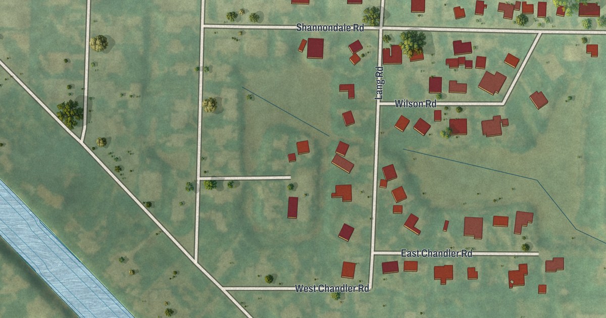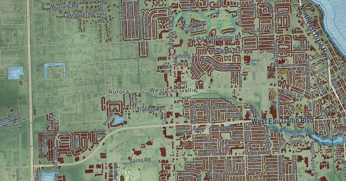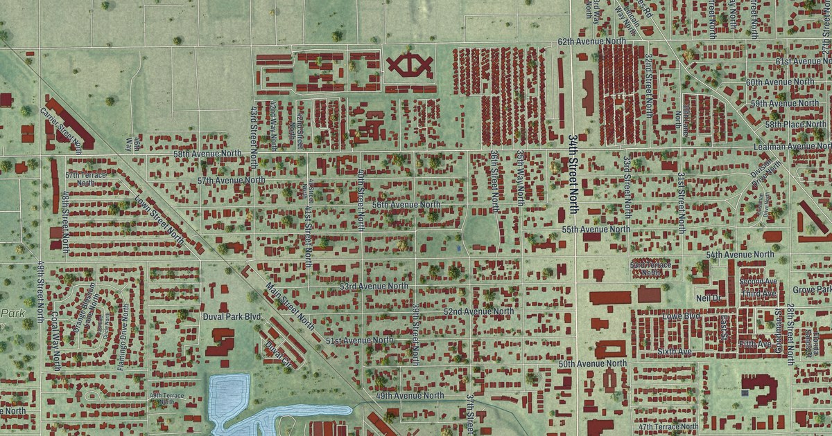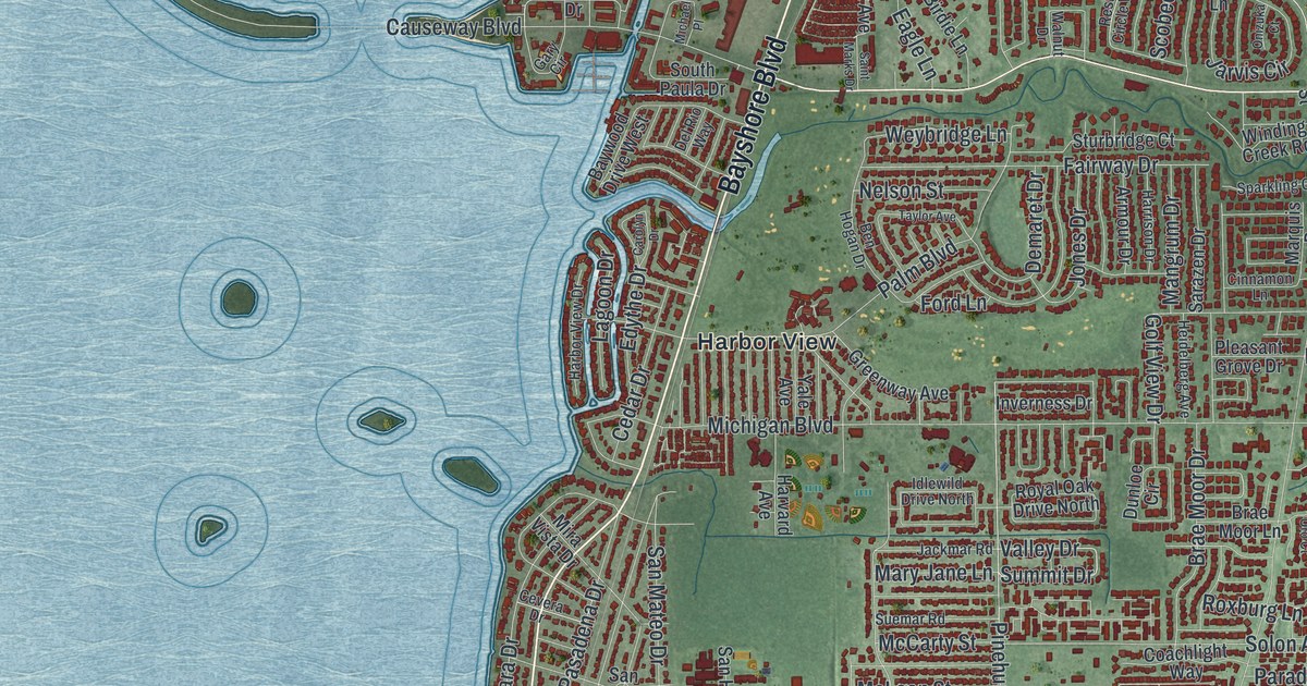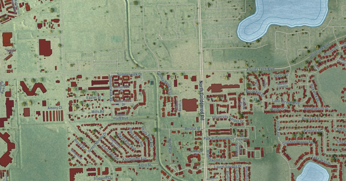
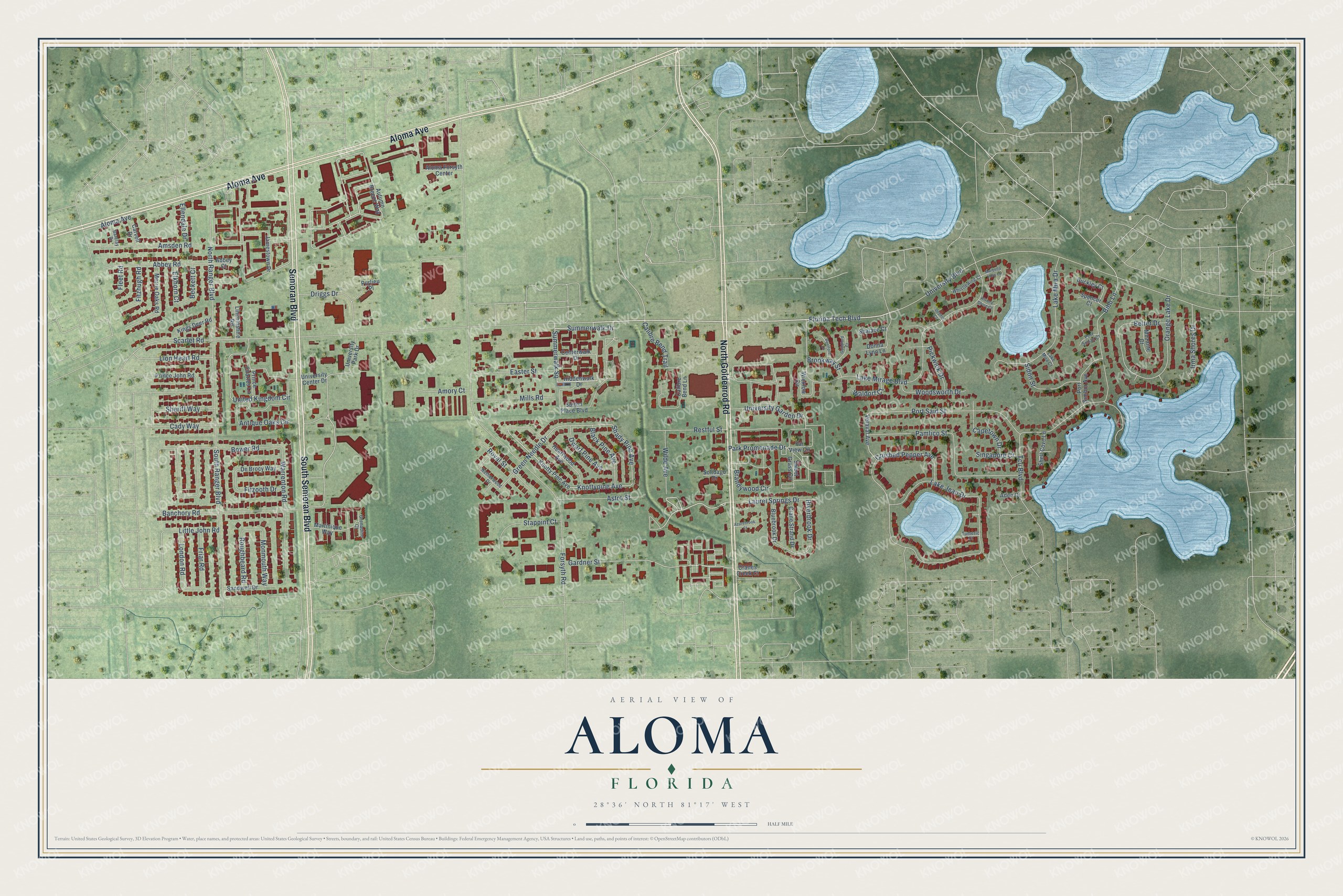
This beautifully detailed map of Aloma, Florida was created in 2026 using aerial imagery combined with modern topographical, census, street and landmark data. It’s a one-of-a-kind view of Aloma that combines accurate data with a vintage aesthetic. The map shows every building in its true location, many of the roads carry their names, and the shaded topographic relief shows the shape of the land.
Explore an aerial view of Aloma, Florida
On the map you’ll find Summerwalk Square, along with North Goldenrod Road, Semoran Boulevard, Aloma Avenue, South Semoran Boulevard, Florida Tech Boulevard, Knottypine Avenue, Green Needle Drive, Shady Pine Avenue, Scarlet Road, Calibre Bend Trail, Lion Heart Road, and more. If you look closely you can even find your house accurately drawn in its correct location. Zoom in on the preview to look for yours.
Take a closer look at the Aloma map
Names on this map
These names are printed on this map.
Streets and roads: North Goldenrod Road, Semoran Boulevard, Aloma Avenue, South Semoran Boulevard, Florida Tech Boulevard, Summerwalk Square, Knottypine Avenue, Green Needle Drive, Shady Pine Avenue, Scarlet Road, Calibre Bend Trail, Lion Heart Road.
More street names, A to Z
Abbey Court, Abbey Road, Aden Court, Aloma Forsyth Center, Amory Court, Amsden Road, Antique Oaks Circle, Astro Street, Autumn Breeze Way, Azurebrook Court, Banchory Road, Barclay Drive, Beckett Court, Belter Drive, Bentford Court, Bibb Lane, Black Pine Avenue, Bluebrook Drive, Bower Road, Brandywood Circle, Brookway Street, Buckley Court, Cady Way, Calibre Bend Lane, Capetown Drive, Carvell Drive, Centerwalk Drive, Cranes Creek Court, Crane Strand Drive, Crushed Pepper Avenue, De Brocy Way, Deville Court, Donna Lynn Lane, Driggs Drive, Dwarf Pine Avenue, Easter Street, Elkhorn Court, Ellendale Drive, Far View Circle, Fitzhugh Road, Fitzooth Drive, Fleet Road, Forsyth Road, Friar Road, Gardner Street, Grenadine Court, Guildford Court, Heartwood Avenue, Hiddenwalk Drive, Irma Shores Drive, Jamestown Drive, Kings Deer Road, Knotty Pine Avenue, Lake Jean Drive, Lake Mira Court, Lake Mira Drive, Lake Mirage Boulevard, Laurel Springs Drive, Lincolnshire Road, Little John Road, London Road, Marbella View Court, Martinique Way, Merrie Oaks Road, Mills Road, Monmouth Way, Muzante Court, Netherwood Drive, North Ranger Boulevard, Orange Lake Drive, Pamlico Street, Park Promenade Drive, Pickwick Drive, Port Said Street, Port Simbor Avenue, Port Sudan Court, Prince Charles Lane, Prince John Road, Purlieu Place, Restful Street, Riverbrook Drive, Riviera Shore Court, Roughbeard Road, Royal Street, Sandwell Drive, Shalace Court, Shell Cove Lane, Sheriff Way, Sidon Street, Singapore Court, Solidago Drive, South Ranger Boulevard, Spencer Court, Stapoint Court, Summerwalk Drive, Sutton Place Boulevard, Sweet Grass Circle, Tcu Boulevard, Tumeric Court, United Kingdom Circle, University Boulevard, University Center Drive, University Garden Drive, University Park Drive, Veraval Avenue, Waldorf Court, Warrenton Road, Whistlewing Court, Wicklow Circle, Wilde Avenue, Woodsworth Drive.
See it on a wall
The Aloma map as a framed print. Swipe for more.


This beautifully detailed map of Aloma makes an attractive addition to your office, library, or den, and it can even be used to teach children the geography and history of the area. It also makes a great gift for someone who left Aloma and still calls it home. When you’re done exploring, click here to get your copy of the Aloma map.