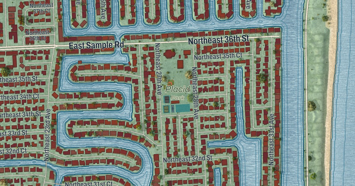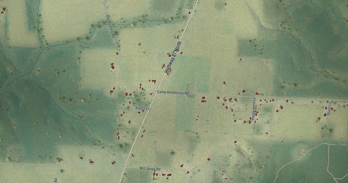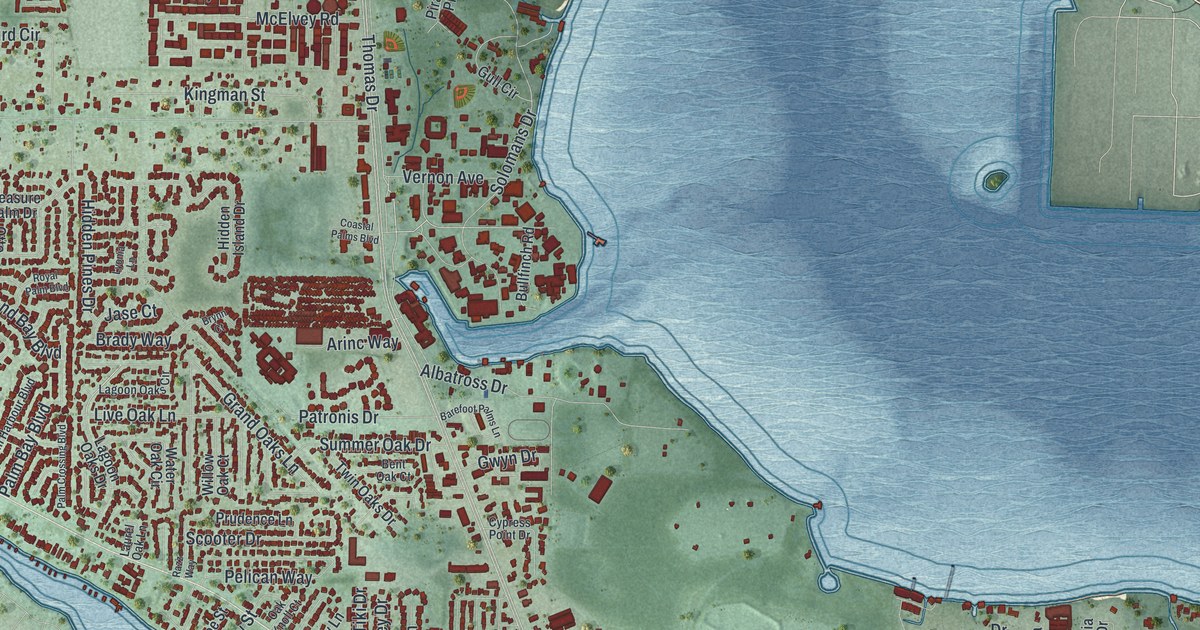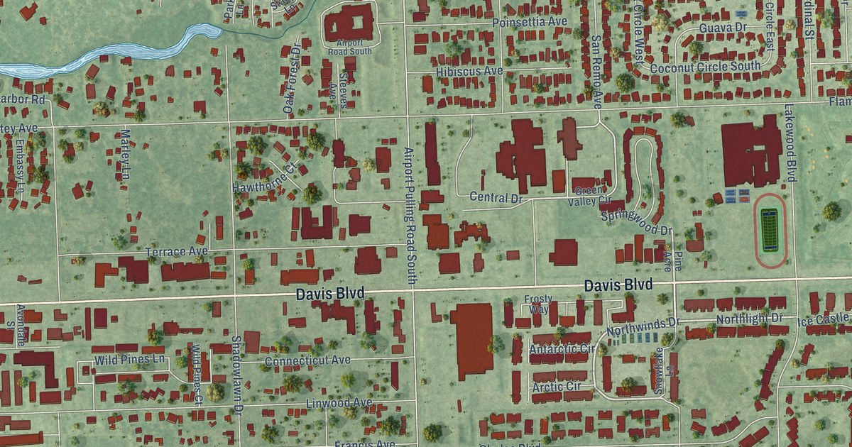
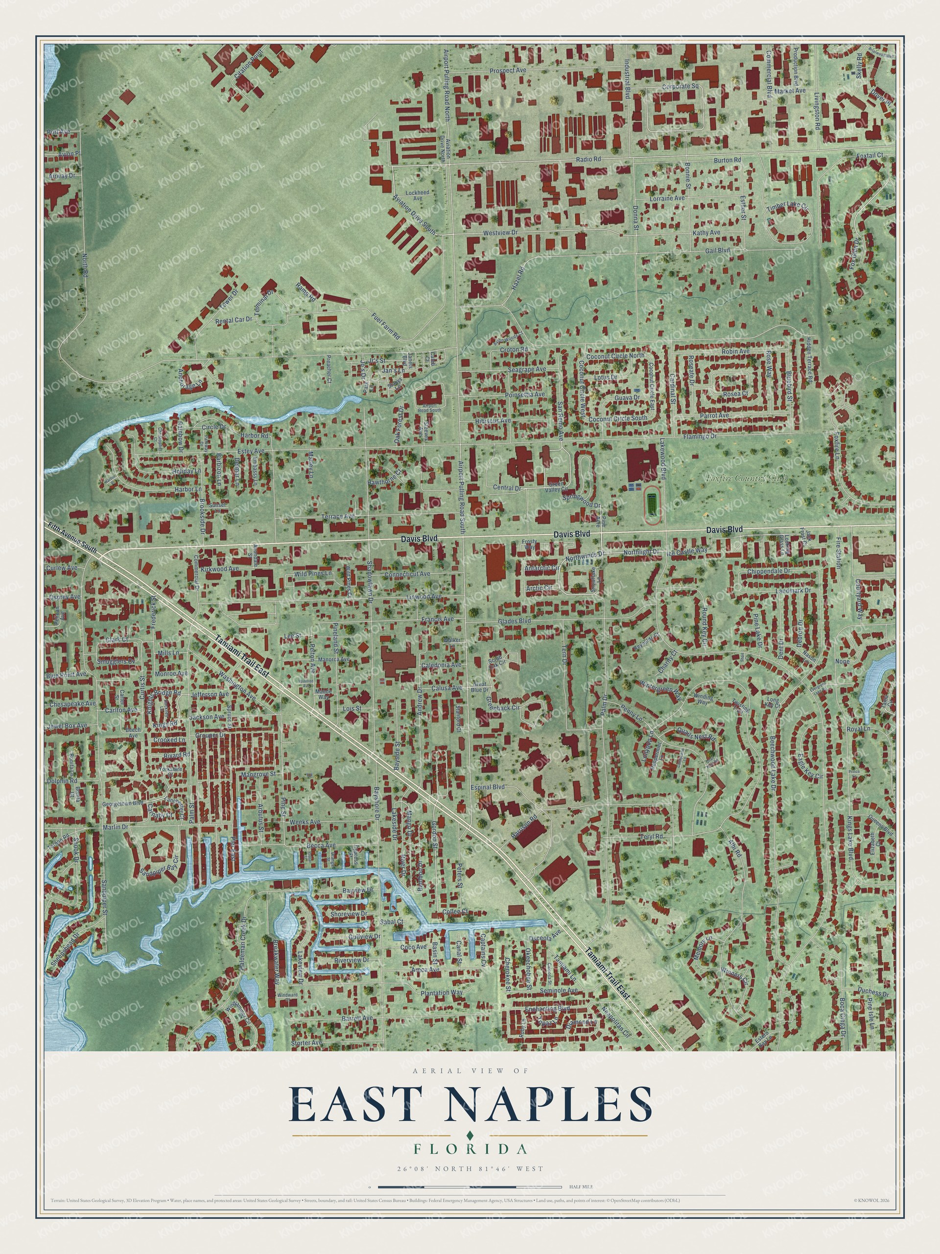
This beautifully detailed map of East Naples, Florida was created in 2026 using aerial imagery combined with modern topographical, census, street and landmark data. It’s a one-of-a-kind view of East Naples that combines accurate data with a vintage aesthetic. The map shows every building in its true location, many of the roads carry their names, and the shaded topographic relief shows the shape of the land.
Explore an aerial view of East Naples, Florida
On the map you’ll find Foxfire Country Club and Corporate Square, along with Tamiami Trail East, Davis Boulevard, Radio Road, Northlight Drive, Northwinds Drive, Fox Glen Drive, Gordon Street, Robin Avenue, Westview Drive, Mango Drive, and more. If you look closely you can even find your house accurately drawn in its correct location. Zoom in on the preview to look for yours.
Take a closer look at the East Naples map
Names on this map
These names are printed on this map.
Places: Foxfire Country Club.
Streets and roads: Tamiami Trail East, Davis Boulevard, Radio Road, Aviation Drive South, Northlight Drive, Northwinds Drive, Fox Glen Drive, Corporate Square, Gordon Street, Robin Avenue, Westview Drive, Mango Drive.
More street names, A to Z
Airport Pulling Road North, Airport Pulling Road South, Airport Road South, Airway Drive, Albi Road, Anchorage Lane, Andrew Drive, Antarctic Circle, Arbutus Street, Arctic Circle, Areca Avenue, Aviation Drive North, Avion Place, Avion Woods Court, Avondale Street, Bamboo Drive, Barbizon Lane, Barrett Avenue, Basin Street, Bayshore Drive, Bayside Street, Bayview Drive, Becca Avenue, Beech Avenue, Beechwood Lake Drive, Bluebird Street, Blue Point Avenue, Boca Ciega Drive, Bonita Court, Bonita Lane, Bonnie Street, Breakwater Way, Briarwood Boulevard, Brookside Drive, Burton Road, Caleb Court, Caledonia Avenue, Caloosa Street, Calusa Avenue, Canal Street, Candycane Lane, Captains Cv, Cardinal Street, Carlton Avenue, Carnaby Court, Carter Street, Central Drive, Charity Court, Cherokee Street, Chesapeake Avenue, Chippendale Drive, Christopher Court, Circle Drive, Citation Point, Clark Court, Coco Avenue, Coconut Circle East, Coconut Circle North, Coconut Circle South, Coconut Circle West, Collee Court, Commercial Boulevard, Commercial Drive, Connecticut Avenue, Courtyard Way, Crooked Lane, Croton Road, Curlew Avenue, Curtis Street, Cypress Street, Debron Drive, Delmar Lane, Dent Drive, Diamond Lane, Dolphin Road, Donna Street, Dover Place, Duchess Drive, Eagle Key Circle, Elizabeth Court, Embassy Lane, Enchanting Boulevard, Espinal Boulevard, Estero Bay Lane, Estey Avenue, Esther Street, Evergreen Lake Road, Fifth Avenue South, Fire Station, Flamingo Drive, Foxfire Lane, Foxtail Court, Francis Avenue, Frederick Street, Frosty Way, Fuel Farm Road, Gail Boulevard, Georgetown Boulevard, Glades Boulevard, Great Blue Drive, Greenback Circle, Green Valley Circle, Grouper Drive, Guava Drive, Gulfview Drive, Hackney Lane, Haldeman Creek Drive, Harbor Lane, Harbor Place, Harbor Road, Harrison Road, Hawthorne Court, Hazel Road, Hibiscus Avenue, Hidden Terrace Road, Holiday Lane, Ice Castle Way, Industrial Boulevard, Jack Frost Court, Jackson Avenue, Jan's Lane, Janets Boulevard, Jefferson Avenue, Jewel Box Avenue, Jo's Drive, Jr's Street, Kathy Avenue, Kings Lake Boulevard, Kings Road, Kirkwood Avenue, Knights Bridge Road, Lakeside Drive, Lakeview Drive, Lakewood Boulevard, Lanchester Court, Landmark Drive, Lee Street, Linwood Avenue, Livingston Road, Lockheed Avenue, Lois Street, Lollypop Lane, Long Key Court, Looking Glass Lane, Lorraine Avenue, Lotus Drive, Mangrove Street, Manorca Avenue, Market Avenue, Marley Lane, Marlin Drive, Maude Way, Memory Lane, Mills Lane, Monroe Avenue, Nason Lane, Neapolitan Circle, None, North Road, Oak Forest Drive, Okeechobee Street, Orange Street, Osceola Avenue, Osprey Avenue, Palm Drive, Palm Street, Park Lane, Parkway Drive, Parrot Avenue, Pelican Avenue, Pelton Avenue, Penny Lane, Peppermint Lane, Peters Street, Pier East, Pine Acre, Pine Isle Lane, Pine Lake Drive, Pineland Street, Pine Street, Plantation Way, Poinsettia Avenue, Poplar Street, Port Avenue, Preacher Court, Prince Lane, Production Boulevard, Prospect Avenue, Quail Nest Road, Quails Nest Road, Queens Boulevard, Rainbow Drive, Ramp Road, Rental Car Drive, Reynolds Court, Rivard Road, River Drive, Riverview Drive, Rosea Court, Roseate Drive, Rose Way, Round Key Circle, Royal Lane, Ruby Lane, Sabal Court, Sandpiper Bay Circle, Sandpiper Street, San Remo Avenue, Scrub Oak Circle, Seagrape Avenue, Seminole Avenue, Shadowlawn Drive, Sheepshead Drive, Shoreview Drive, Short Court, Skelly Road, Smugglers Cv, Snook Drive, Snowflake Lane, Springwood Drive, Spruce Street, Stacys Lane, Stanford Court, Steeves Avenue, Storter Avenue, Sunset Lane, Tama Circle, Tamiami Lane, Tarpon Road, Terminal Drive, Tern Drive, Terrace Avenue, Teryl Road, Timber Lake Circle, Topaz Lane, Tower Drive, Twisting Trail, Walker Lane, Washington Avenue, Weeks Avenue, Wild Pines Court, Wild Pines Lane, Winding Way, Windjammer Circle, Windward Court, Winifred Avenue, Winners Circle, Wintergreen Way, Yorkshire Court.
See it on a wall
The East Naples map as a framed print. Swipe for more.


This beautifully detailed map of East Naples makes an attractive addition to your office, library, or den, and it can even be used to teach children the geography and history of the area. It also makes a great gift for someone who left East Naples and still calls it home. When you’re done exploring, click here to get your copy of the East Naples map.