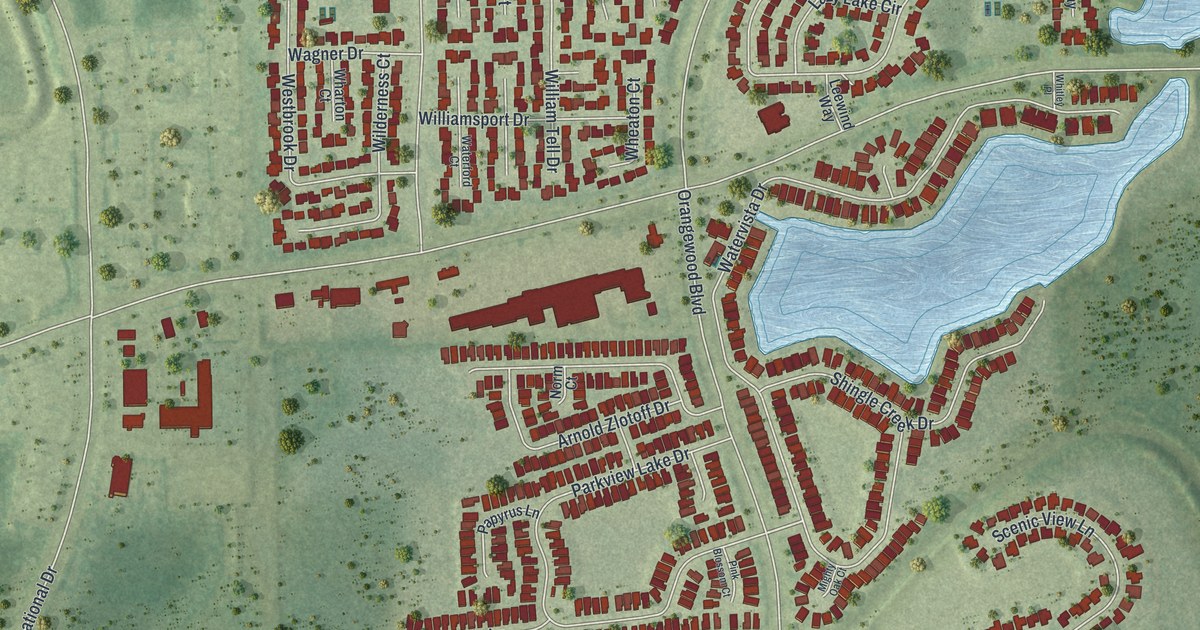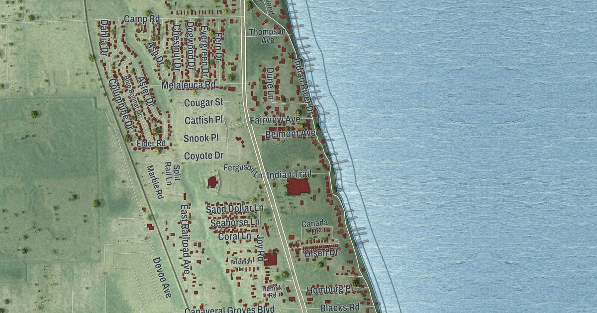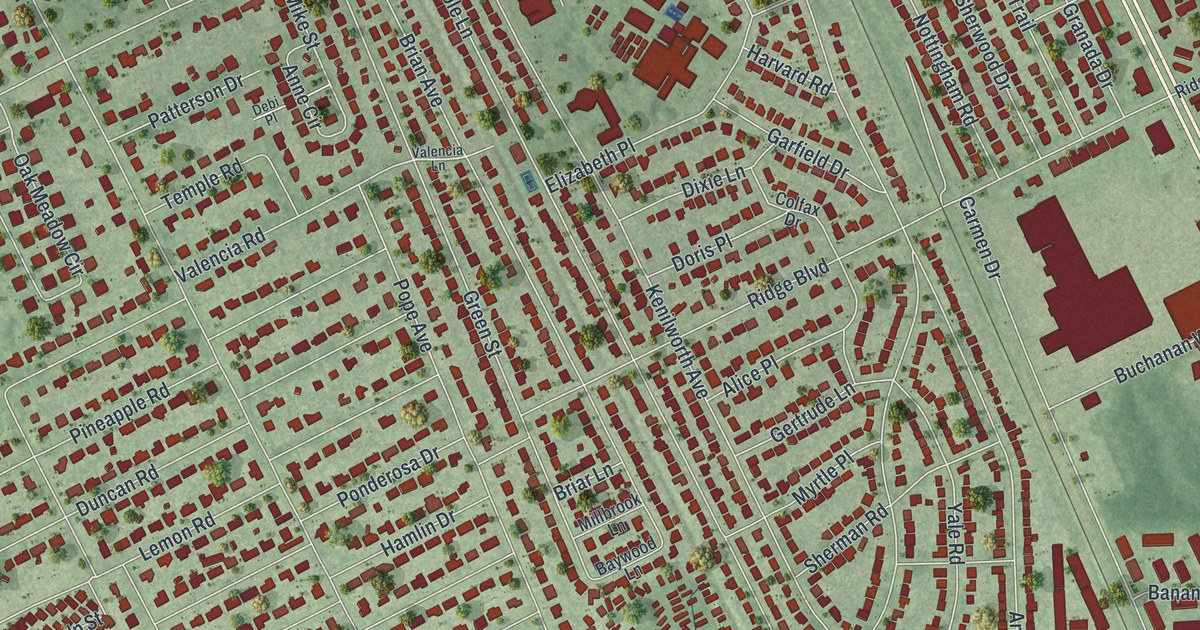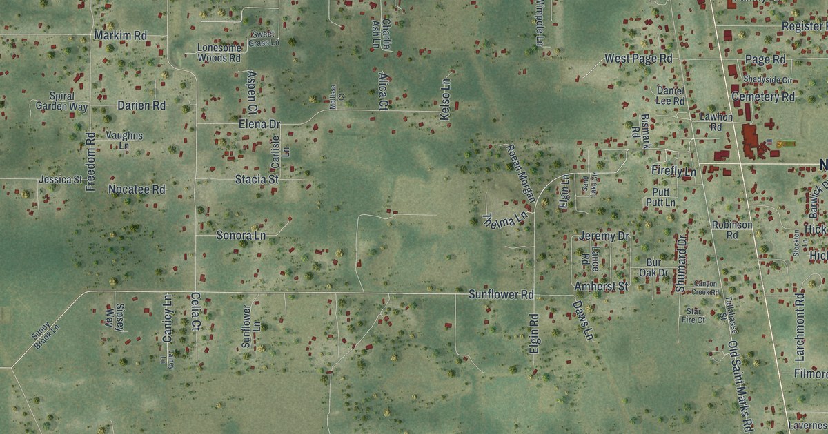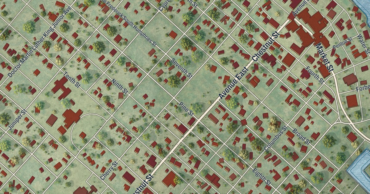
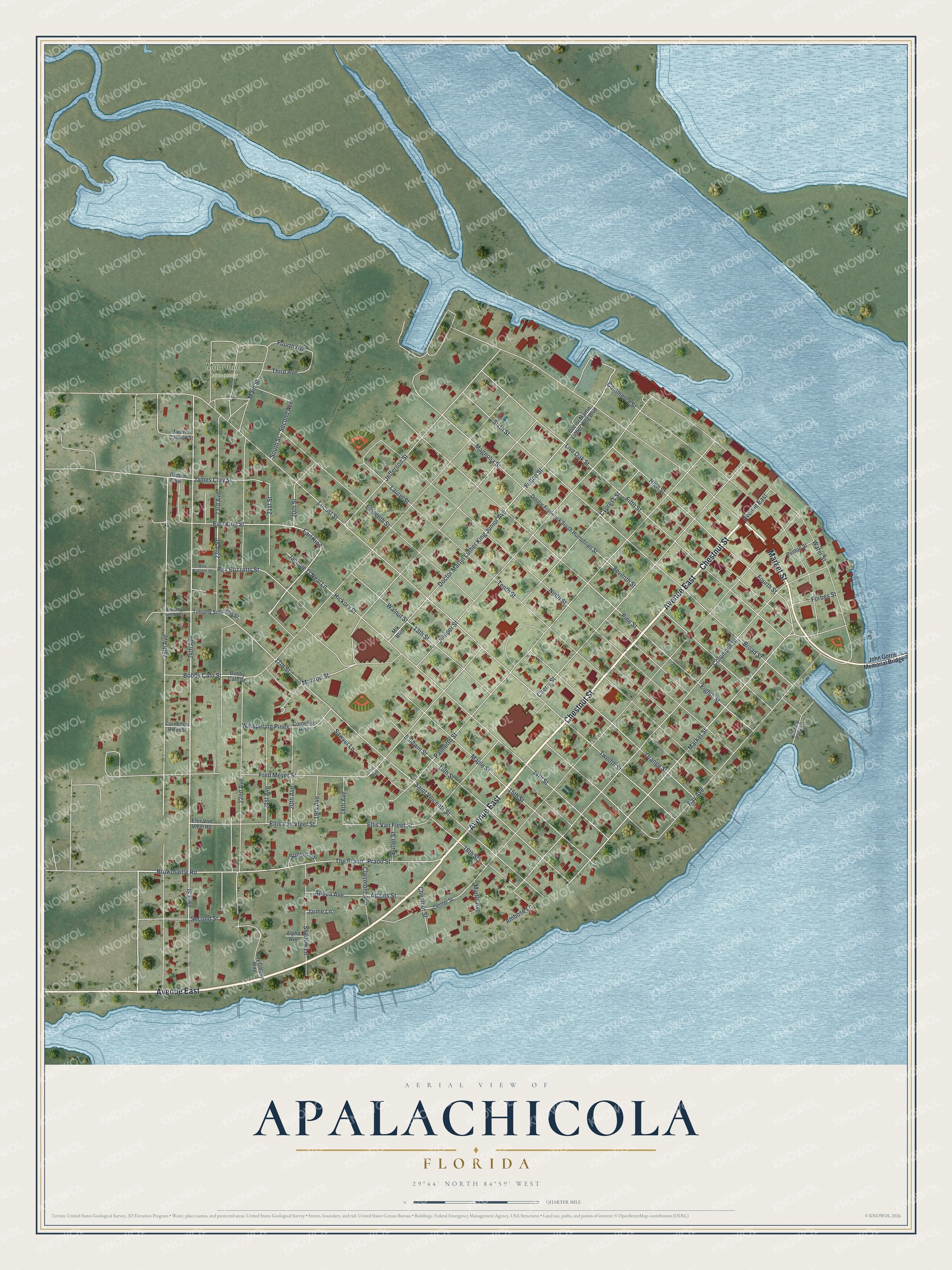
This beautifully detailed map of Apalachicola, Florida was created in 2026 using aerial imagery combined with modern topographical, census, street and landmark data. It’s a one-of-a-kind view of Apalachicola that combines accurate data with a vintage aesthetic. The map shows every building in its true location, many of the roads carry their names, and the shaded topographic relief shows the shape of the land.
Explore an aerial view of Apalachicola, Florida
On the map you’ll find Magnolia Cemetery and Earl King, along with Avenue East, Chestnut Street, Market Street, 24th Avenue, 17th Street, Fourth Street, 15th Street, 23rd Street, Jefferson Street, Twelfth Street, and more. If you look closely you can even find your house accurately drawn in its correct location. Zoom in on the preview to look for yours.
Did You Know?
In 1849, Apalachicola doctor John Gorrie found a way to cool air while trying to lower the temperatures of fever patients. He patented an ice machine in 1850. His work paved the way for modern refrigeration and air conditioning. A museum in the city displays a replica of his machine.
Take a closer look at the Apalachicola map
Names on this map
These names are printed on this map.
Places: Magnolia Cemetery.
Streets and roads: Avenue East, Chestnut Street, Market Street, 24th Avenue, 17th Street, Fourth Street, 15th Street, 23rd Street, Jefferson Street, Twelfth Street, Earl King, Fulton Street.
More street names, A to Z
13th Street, 14th Street, 16th Street, 18th Avenue, 18th Street, 19th Avenue, 20th Avenue, 20th Street, 21st Avenue, 21st Street, 22nd Avenue, 23rd Avenue, 24th Street, 25th Avenue, Adams Street, Alpha Avenue, Ambose Lane, Apoca Avenue, Baldwin Street, Battery Park Lane, Bay Avenue, Bay Colony Way, Bobby Cato Drive, Bobby Cato Street, Broad Street, Brownsville Road, Butler Street, Center Street, Cherry Street, Clairmont Avenue, Columbus Street, Commerce Street, Cornellius Rizer, Cornellius Rizer Street, Cypress Street, Doctor Frederick South Humphries Street, Doctor Martin Luther King Boulevard, Doctor Martin Luther King Junior Avenue, Earl King Street, Eighth Street, Eleventh Street, Ellis Van Fleet Street, Ellis Van Vleet Street, Ellis Von Vleet Road, Fifth Street, Forbes Street, Fourth Avenue, Fred Meyer, Fred Meyer Street, Gibson Road, Hickory Street, High Street, Jacobie O'Neal Lane, Jaime Lane, James Clay Street, John Gorrie Memorial Bridge, Juniper Street, Laurel Street, Live Oak Street, Locust Street, Magnolia Street, Main Street, Maple Street, Mlk Boulevard, Monroe Street, Morris Cannon Street, Myrtle Avenue, Ninth Street, Orange Street, Palmetto Street, Penton Street, Pine Street, Prado Street, Rex Buzzetts Street, Rex Buzzett Street, Saint Vincents Street, Sawyer Lane, Second Avenue, Second Street, Seventh Street, Shadow Lane, Sixth Street, South Street, Sunset Lane, Tenth Street, The Prado, Third Avenue, Timothy Simmons, Timothy Simmons Street, Walnut Street, Water Street, Whispering Pines.
See it on a wall
The Apalachicola map as a framed print. Swipe for more.


This beautifully detailed map of Apalachicola makes an attractive addition to your office, library, or den, and it can even be used to teach children the geography and history of the area. It also makes a great gift for someone who left Apalachicola and still calls it home. When you’re done exploring, click here to get your copy of the Apalachicola map.