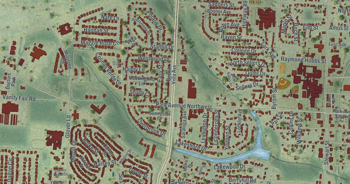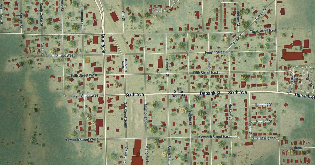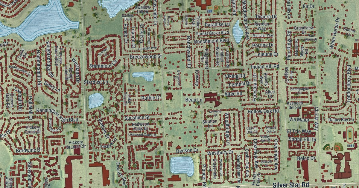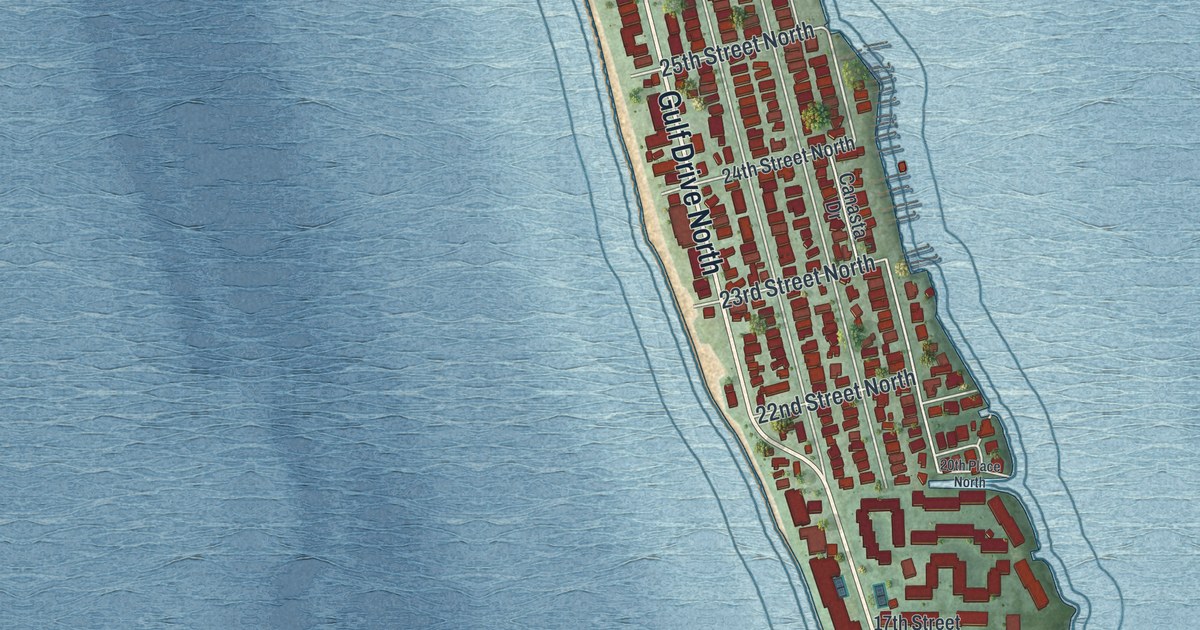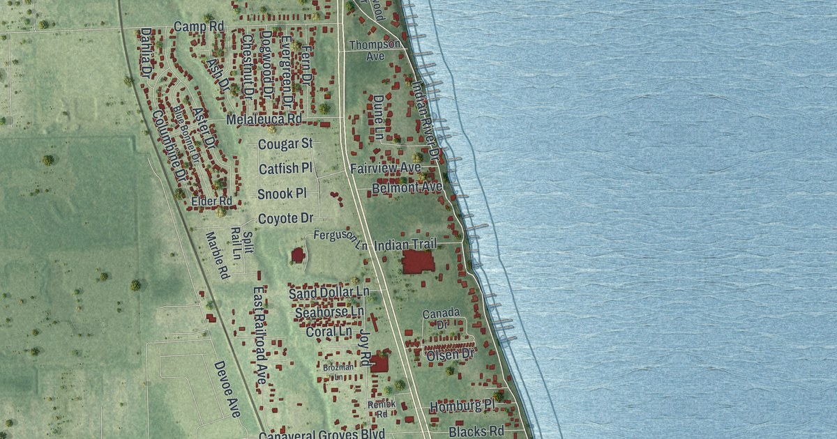
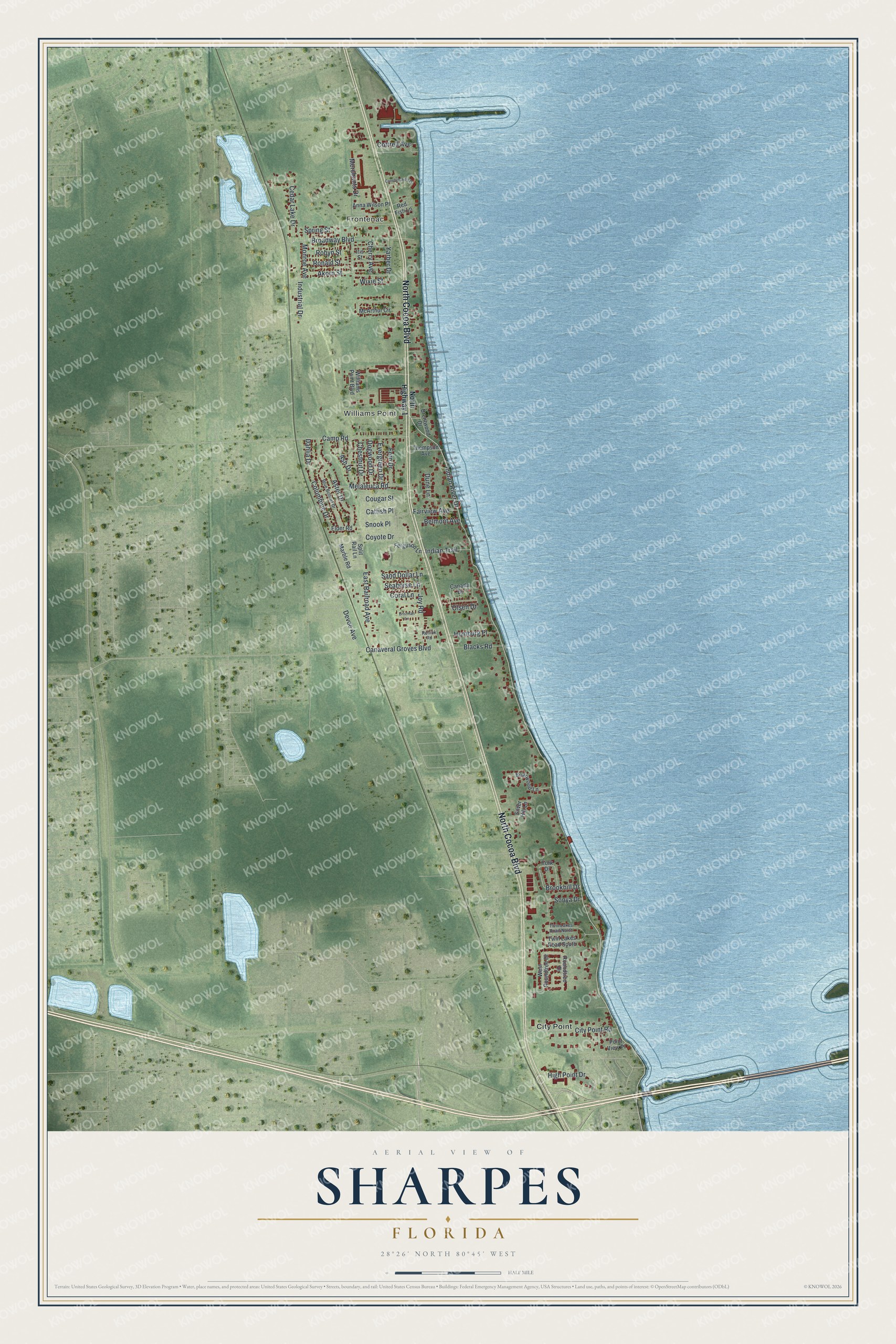
This beautifully detailed map of Sharpes, Florida was created in 2026 using aerial imagery combined with modern topographical, census, street and landmark data. It's a modern aerial view of Sharpes in Brevard County, Florida, that combines modern data with a vintage aesthetic. The roads feature printed names, and if you look closely you can find your exact house accurately shown in its correct location.
Explore an aerial view of Sharpes, Florida
On this map you'll find Frontenac, Williams Point, City Point, North Cocoa Boulevard, Indian River Drive, Devoe Avenue, Broadway Boulevard, Camp Road, Aster Drive, Spring Street, City Point Road, Canaveral Groves Boulevard, and more. Each red shape is a building, so zoom in on the preview and look for yours.
Here is a piece of Sharpes history. Sharpes was the most important community in the area when settlers began arriving after the Civil War. In 1885 City Point residents built the City Point Community Church just south of it as a hall for worship, school and public meetings, and on Sundays one congregation picnicked on the lawn while the next held its service. During World War II, older residents and young women took turns in its cupola at night, watching the skies for enemy aircraft. That's from the National Register of Historic Places.
Sharpes is a community in Brevard County. The Census Bureau counted 3,115 people here in 2020.
Take a closer look at the Sharpes map
Names on this map
These names are printed on this map.
Places: Frontenac, Williams Point and City Point.
Streets and roads: North Cocoa Boulevard, Indian River Drive, Devoe Avenue, Broadway Boulevard, Camp Road, Aster Drive, Spring Street, City Point Road, Canaveral Groves Boulevard, Melaleuca Road, Akorn Street, Ronald Street.
More street names, A to Z
Anna Wilson Place, Ash Drive, Belmont Avenue, Blacks Road, Blue Bonnet Drive, Brentwood Drive, Briarwood Lane, Brookhill Drive, Brozman Lane, Canada Drive, Canebreakers Drive, Catfish Place, Cedar Lake Drive, Cherry Avenue, Chestnut Drive, Columbine Drive, Coral Lane, Cottrell Avenue, Cougar Street, Coyote Drive, Dahlia Drive, Dogwood Drive, Dune Lane, East Railroad Avenue, Elder Road, Evergreen Drive, Fairview Avenue, Ferguson Lane, Fern Drive, High Point Drive, Homburg Place, Indian Trail, Industrial Drive, Iris Street, Joy Road, Marble Road, McArthur Circle, Merchants Drive, Monroe Avenue, North Highway 1, Olsen Drive, Point View Place, Red Fish Lane, Renick Road, Robyn Street, Roundtree Drive, Sand Dollar Lane, Seahorse Lane, Silver Hill Lane, Snook Place, Sonya Drive, Split Rail Lane, Thompson Avenue, Twin Lakes Road North, Twin Lakes Road South, West Roundtree Drive, Williams Point Boulevard, Wixie Street, Yarber Drive, York Drive.
See it on a wall
The Sharpes map as a framed print. Swipe for more.


Created by KNOWOL in 2026. The buildings are small red shapes, the roads carry their printed names, and shaded relief shows the shape of the land. The title panel reads "AERIAL VIEW OF SHARPES, FLORIDA" with 28°26' NORTH 80°45' WEST.
It suits a den, a classroom or a front hall, and it makes a gift for anyone with Sharpes roots. Open the preview and find the block you know. See sizes and frames for the Sharpes map.