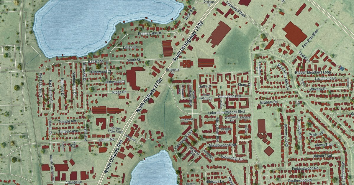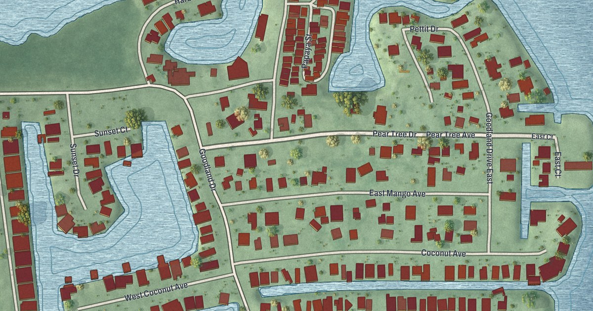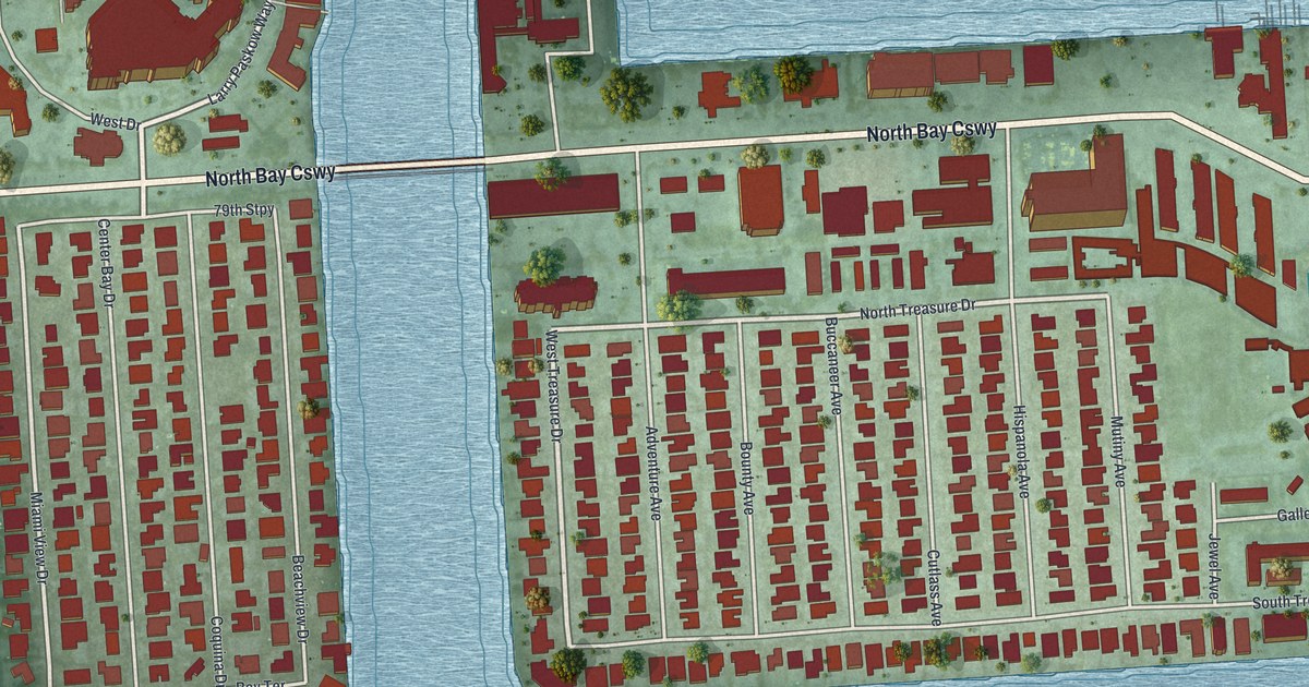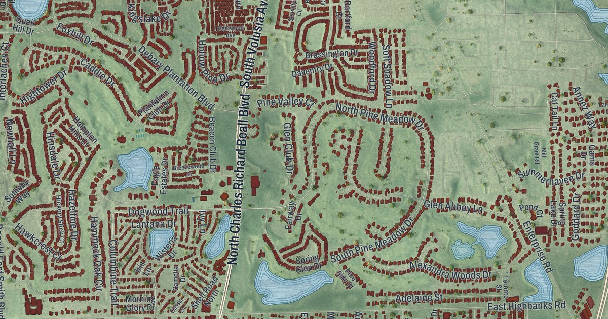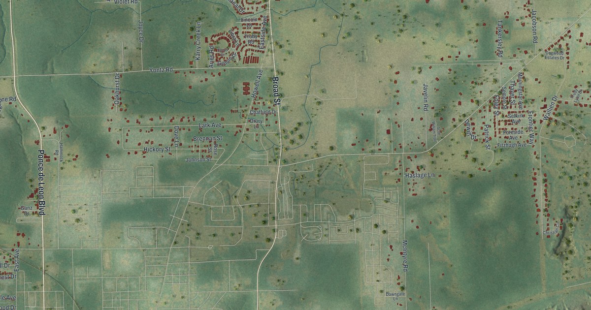
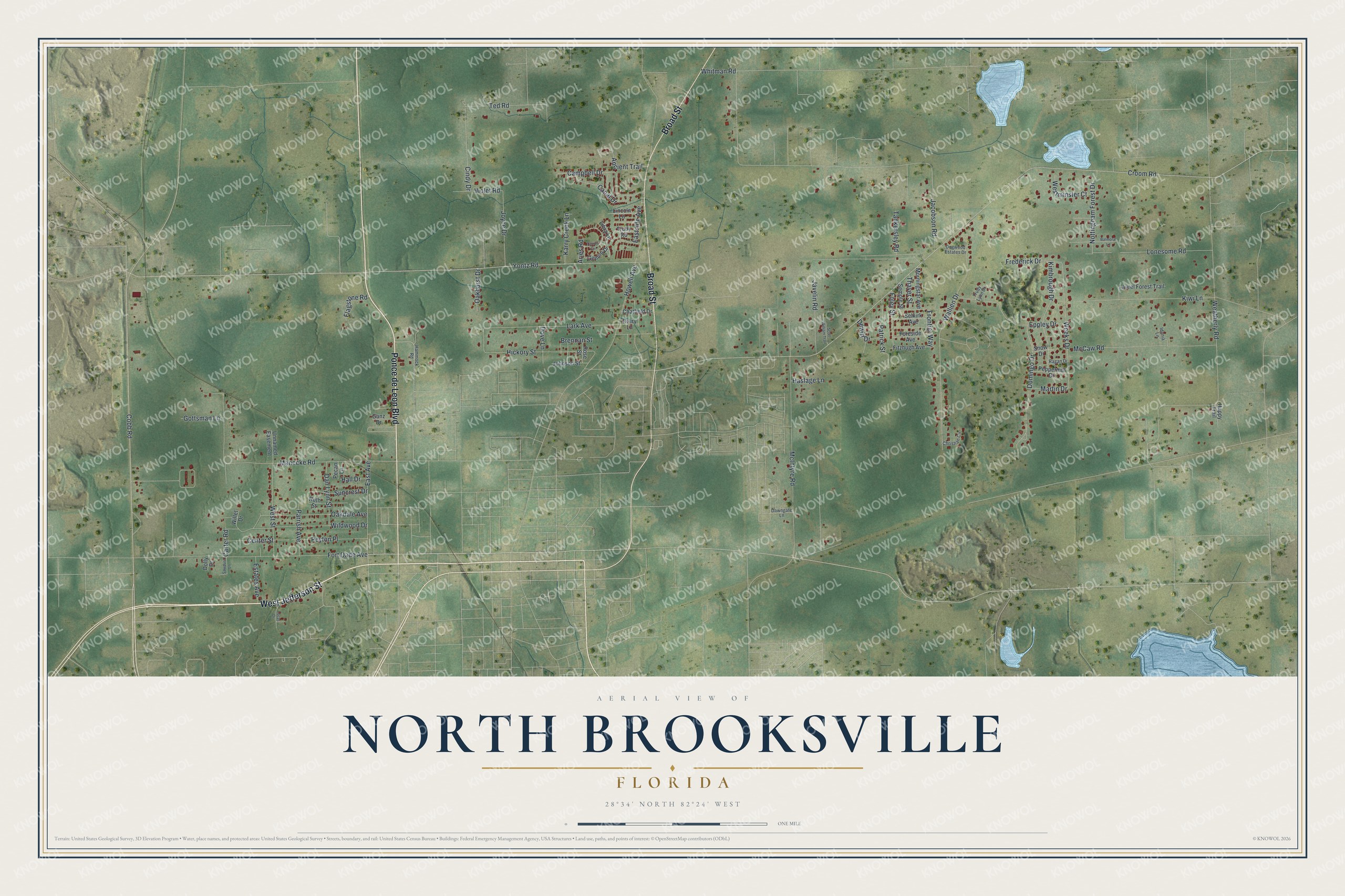
This beautifully detailed map of North Brooksville, Florida was created in 2026 using aerial imagery combined with modern topographical, census, street and landmark data. It's a modern aerial view of North Brooksville in Hernando County, Florida, that combines modern data with a vintage aesthetic. The roads feature printed names, and if you look closely you can find your exact house accurately shown in its correct location.
Explore an aerial view of North Brooksville, Florida
On this map you'll find Ponce de Leon Boulevard, West Jefferson Street, Broad Street, Cobb Road, Weeks Drive, Lark Avenue, Domingo Drive, Nottingham Forest Drive, Croom Road, Yontz Road, Weatherly Road, Jacobson Road, and more. Each red shape is a building, so zoom in on the preview and look for yours.
North Brooksville is a community in Hernando County. The Census Bureau counted 3,506 people here in 2020. North Brooksville sits about 4 miles southeast of Lake Lindsey, 5 miles northwest of Hill 'n Dale and 6 miles northwest of Spring Lake. The map prints the town name in its title panel, with the coordinates below it.
Take a closer look at the North Brooksville map
Names on this map
These names are printed on this map.
Streets and roads: Ponce de Leon Boulevard, West Jefferson Street, Broad Street, Cobb Road, Weeks Drive, Lark Avenue, Domingo Drive, Nottingham Forest Drive, Croom Road, Yontz Road, Weatherly Road, Jacobson Road.
More street names, A to Z
Ancient Trail, Aries Road, Balmoral Lane, Brennan Street, Campbell Drive, Canal Drive, Carter Road, Center Street, Chatfield Drive, Christian Circle, Cindy Drive, Dan Lynn Street, Dawngate Lane, Dewitt Drive, Dogwood Estates Drive, Dolly Drive, Dove Lane, Drury Lane, East Avenue, Eastside Avenue, Eppley Drive, Estates Avenue, Fitzhugh Avenue, Flagstone Road, Foley Street, Foreside Avenue, Fort Dade Avenue, Frederick Drive, Frontier Way, Ganz Drive, Gemini Drive, Gottsman Lane, Hall Drive, Hammock Road, Happy Trail, Haslage Lane, Hickory Street, Howell Avenue, Idonia Lane, Javelin Road, Johnson Street, Joyce Drive, Karry Creek Lane, Kimbrough Drive, Kiwi Lane, Laurel Forest Trail, Libra Lane, Lincoln Lane, Lonesome Road, Lucas Drive, Manecke Road, Martin Drive, McCaw Road, McIntyre Road, Morningstar Avenue, Oakdale Avenue, Oakhurst Drive, Parrish Avenue, Patrick Street, Pecan Lane, Peppermill Drive, Peyton Place, Ragan Drive, Rose Street, Ruth Street, Sawdust Lane, Scott William Trail, Selkirk Avenue, Semple Street, Snow Drive, Suncrest Drive, Tankersley Road, Taurus Circle, Ted Road, Thayer Street, Truby Road, Trudy Lynn Drive, Unnamed Easement, Violet Road, Wallien Drive, Westminster Court, West Street, Whitman Road, Wildwood Drive, Willet Drive.
See it on a wall
The North Brooksville map as a framed print. Swipe for more.


Created by KNOWOL in 2026. The buildings are small red shapes, the roads carry their printed names, and shaded relief shows the shape of the land. The title panel reads "AERIAL VIEW OF NORTH BROOKSVILLE, FLORIDA" with 28°34' NORTH 82°24' WEST.
It looks right in a kitchen, an office or a den, and it's a gift for anyone who grew up in North Brooksville or moved away. Open the preview and find your street. See sizes and frames for the North Brooksville map.