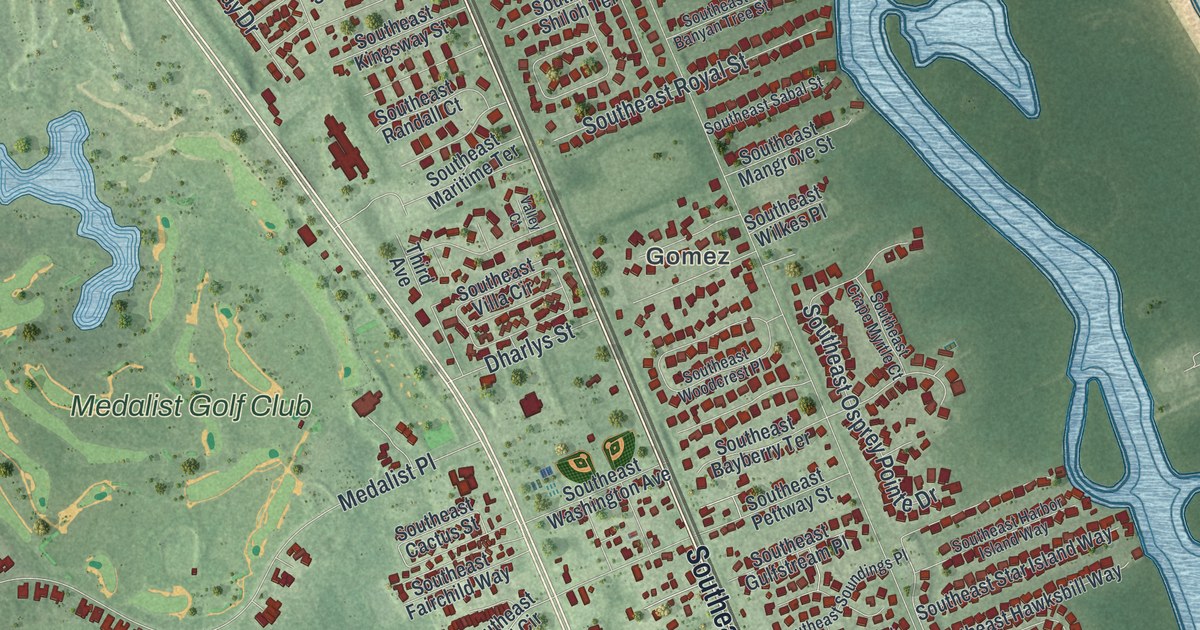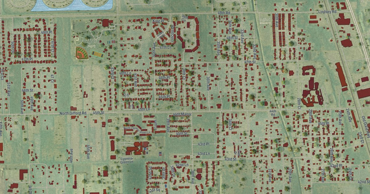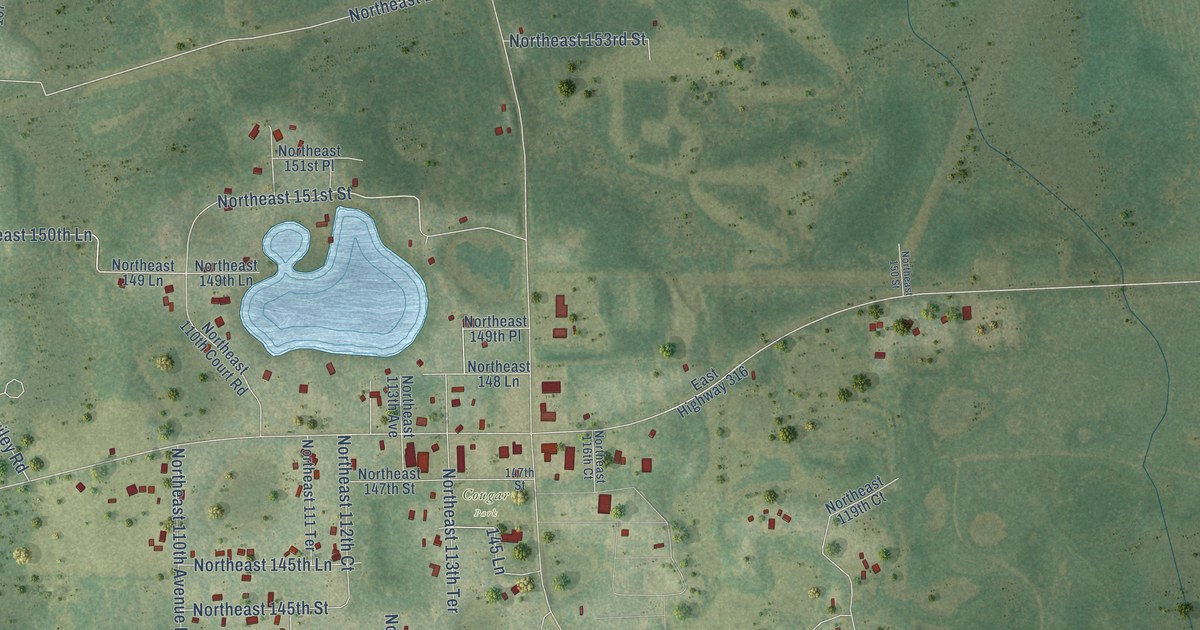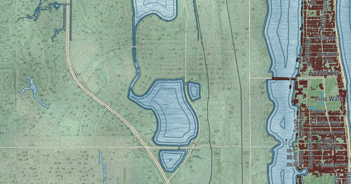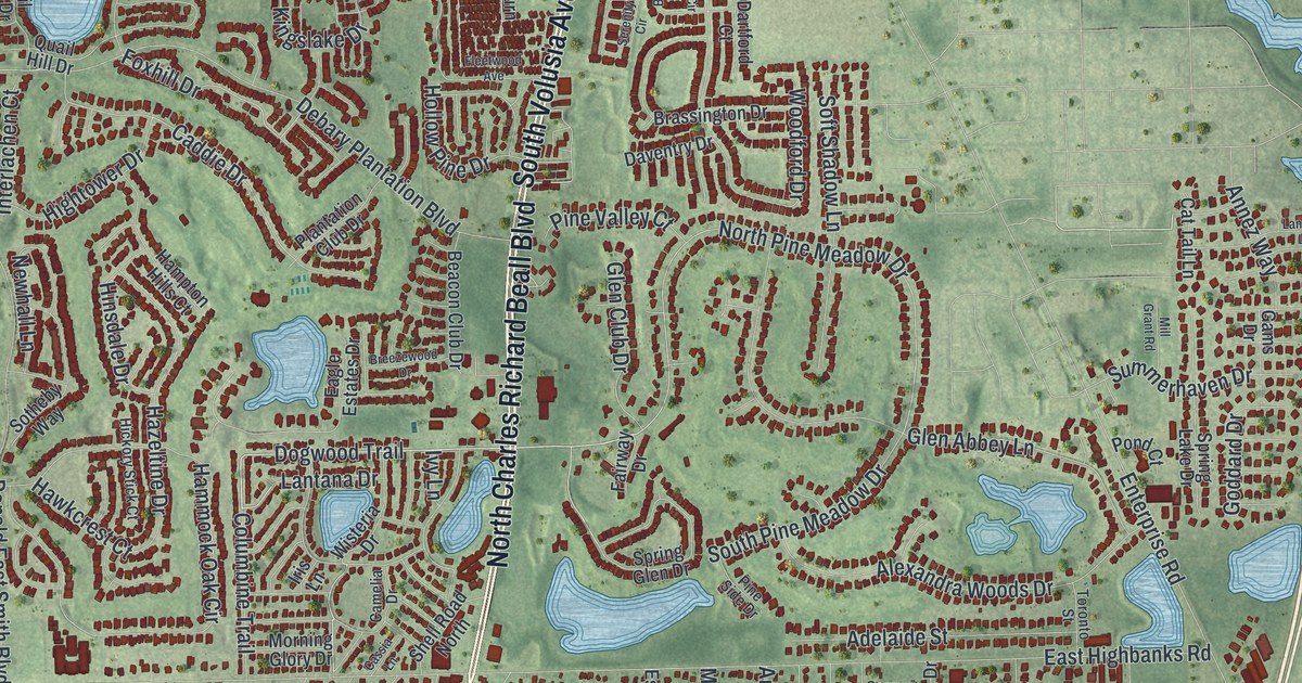
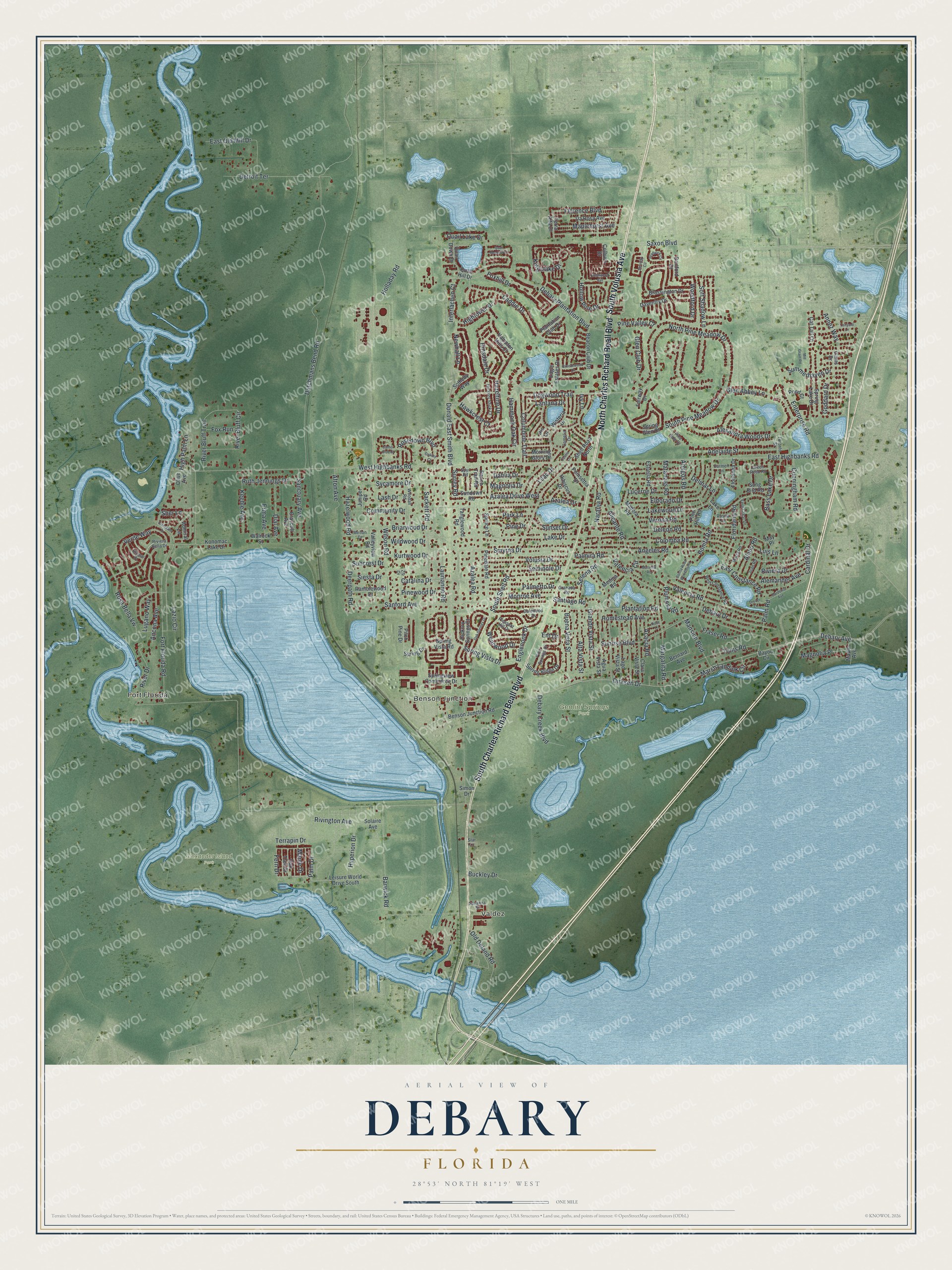
This beautifully detailed map of DeBary, Florida was created in 2026 using aerial imagery combined with modern topographical, census, street and landmark data. It’s a one-of-a-kind view of DeBary that combines accurate data with a vintage aesthetic. The map shows every building in its true location, many of the roads carry their names, and the shaded topographic relief shows the shape of the land.
Explore an aerial view of DeBary, Florida
On the map you’ll find Valdez, Fort Florida, Benson Junction, Alexander Island Park, and Gemini Springs Park, along with South Charles Richard Beall Boulevard, South Volusia Avenue, North Charles Richard Beall Boulevard, Dirksen Drive, North Pine Meadow Drive, Debary Avenue, Dogwood Trail, and more. If you look closely you can even find your house accurately drawn in its correct location. Zoom in on the preview to look for yours.
Did You Know?
In 1871 Frederick deBary, a wealthy New York wine merchant, bought 400 acres here and built a hunting lodge. DeBary Hall had 20 rooms and a swimming pool fed by a spring. Presidents Ulysses S. Grant and Grover Cleveland visited. The city, incorporated in 1993, is named for him.
Take a closer look at the DeBary map
Names on this map
These names are printed on this map.
Places: Valdez, Fort Florida, Benson Junction, Alexander Island Park and Gemini Springs Park.
Streets and roads: South Charles Richard Beall Boulevard, South Volusia Avenue, North Charles Richard Beall Boulevard, Dirksen Drive, North Pine Meadow Drive, Debary Avenue, Dogwood Trail, Lantana Drive, Spring Vista Drive, Saxon Boulevard, Enterprise Road, Caddie Drive.
More street names, A to Z
Acacia Road, Adelaide Street, Admiral Lane, Afton Avenue, Agua Vista Street, Alano Road, Alemander Avenue, Alexandra Woods Drive, Alicante Road, Alta Vista Street, Amigos Road, Ancona Avenue, Angeles Road, Annez Way, Azalea Drive, Azalea Drive West, Azalea Road, Barwick Road, Bass Lake Drive, Bayou Circle, Beacon Club Drive, Benson Junction Road, Bernard Avenue, Bonita Road, Bonita Road Woodbound, Bradwick Circle, Brassington Drive, Breezewood Drive, Briarwood Drive, Buckley Drive, Buena Vista Street, Camelia Drive, Canter Club Court, Cardinal Drive, Carmen Lane, Cassia Lane, Catalina Drive, Cat Tail Lane, Clara Vista Street, Colburn Drive, Colomba Road, Columbine Trail, Community Drive, Craycoft Avenue, Cunningham Road, Dahlia Drive, Dalewood Drive, Da Rosa Avenue, Dartford Court, Daventry Drive, Debary Creek Boulevard, Debary Drive, Debary Plantation Boulevard, Deerpath Road, Deleon Road, Delmar Lane, Detroit Terrace, Dial Avenue, Donald East Smith Boulevard, Drexel Lane, Dutchmans Bend Road, Eagle Estates Drive, East Constance Road, East Highbanks Road, East Old Mill Drive, Eldorado Drive, Elissar Drive, Englenook Drive, Ent Drive, Erma Avenue, Estrella Road, Fairway Drive, Fern Crest Drive, Fern Drive, Fleetwood Avenue, Florence Boulevard, Floridana Drive, Floridana Road, Fort Florida Road, Foxhill Drive, Fox Run, Fraser Road, Gams Drive, Gardenia Avenue, Glen Abbey Lane, Glen Club Drive, Goddard Drive, Granada Road, Grande Vista Street, Green Reed Road, Hammock Oak Circle, Hampton Hills Court, Hawkcrest Court, Hazeltine Drive, Hazelwood Road, Hibiscus Drive, Hickory Springs Court, Hickory Stick Court, High Palm Lane, Hightower Drive, Hinsdale Drive, Holladay Road, Hollow Pine Drive, Homestead Avenue, Hyperion Drive, Interlachen Court, Iris Lane, Ivy Lane, Juan Road, Juniper Road, Keeble Avenue, Kingslake Drive, Konomac Lake Drive, Kurtwood Drive, Lago Vista Street, Lake Drive, Lake Lane, Lakewood Drive, Lanyard Lane, Lash Drive, Laurianne Road, Lazio Circle, Leisure World Drive South, Lilac Drive, Lucerne Drive, Lugano Way, Luis Lane, Madera Road, Magnolia Drive, Magnolia Place, Mansion Boulevard, Maple Avenue, Maple Drive, Maplehurst Avenue, Margarita Road, Marsella Road, Marsh Landink Circle, Marta Road, Matanzas Road, May Place, Medina Road, Mellon Drive, Mill Grant Road, Monroe Avenue, Morning Glory Drive, Naranja Road, Newhall Lane, Oakley Court, Oak Springs Drive, Oak Tree Drive, Old Deland Road, Olive Avenue, Palm Drive, Palmetto Drive, Palmira Road, Palm Road, Park Lane, Pinedale Road, Pine Drive, Pine Hill Road, Pine Side Drive, Pine Springs Drive, Pine Valley Court, Pinewood Drive, Pitch Pine Drive, Plantation Club Drive, Plantation Road, Pleasant Hill Drive, Plumosa Road, Poinsettia Drive, Pond Court, Quail Down Drive, Quail Hill Drive, Quail Lake Drive, Quail Meadow Court, Ramblewood Drive, Ranch Trail Road, River Bluff Circle, River Bluff Trail, Riverdale Drive, River Drive, Riviera Bella Drive, Riviera Drive, Rivington Avenue, Rosa Bella Vw, Rosedown Boulevard, Rose Lane, Rosita Drive, Ruth Jennings Drive, Sackett Road, Sanctuary Avenue, Sanford Avenue, Santiago Road, Savanna Street, Seminole Drive, Serena Road, Serenity Circle, Shell Road North, Sher Lane, Siesta Drive, Simon Drive, Smyrna Drive, Soft Shadow Lane, Solaire Avenue, Song Bird Road, Sotheby Way, South Pine Meadow Drive, South Shell Road, Spring Drive, Spring Glen Drive, Spring Lake Drive, Spring Ridge Drive, Springview Commerce Drive, Spring Vista Road, Spruce Lane, Spur Road, Star Lane, Summerhaven Drive, Suncrest Drive, Sundown Road, Sunrise Boulevard, Sunset Drive, Surrey Road, Sycamore Drive, Tanglewood Road, Terra Alta Drive, Terrapin Drive, Toms Road, Toronto Street, Valencia Circle, Valencia Road, Valleyview Road, Verde Way, Verona Road, Volusia Drive, Walrock Street, Wentwood Drive, West Constance Road, West Highbanks Road, Wildwood Drive, Wilson Road, Wisteria Drive, Woodall Road, Woodford Drive, Ziv Drive.
See it on a wall
The DeBary map as a framed print. Swipe for more.


This beautifully detailed map of DeBary makes an attractive addition to your office, library, or den, and it can even be used to teach children the geography and history of the area. It also makes a great gift for someone who left DeBary and still calls it home. When you’re done exploring, click here to get your copy of the DeBary map.