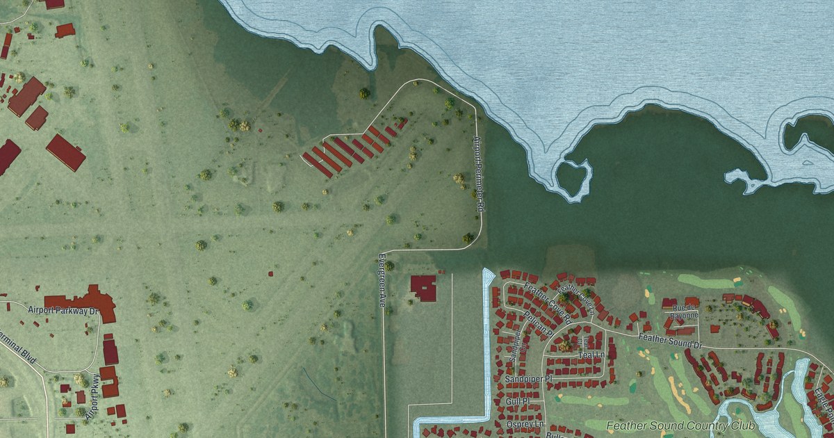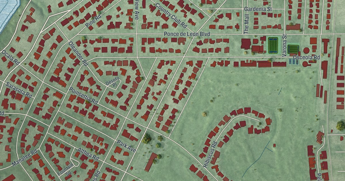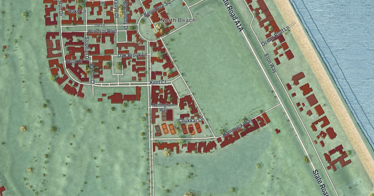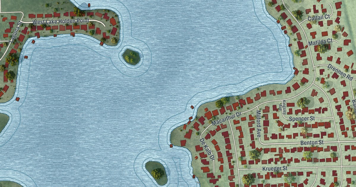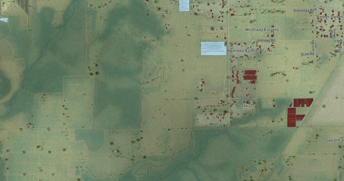
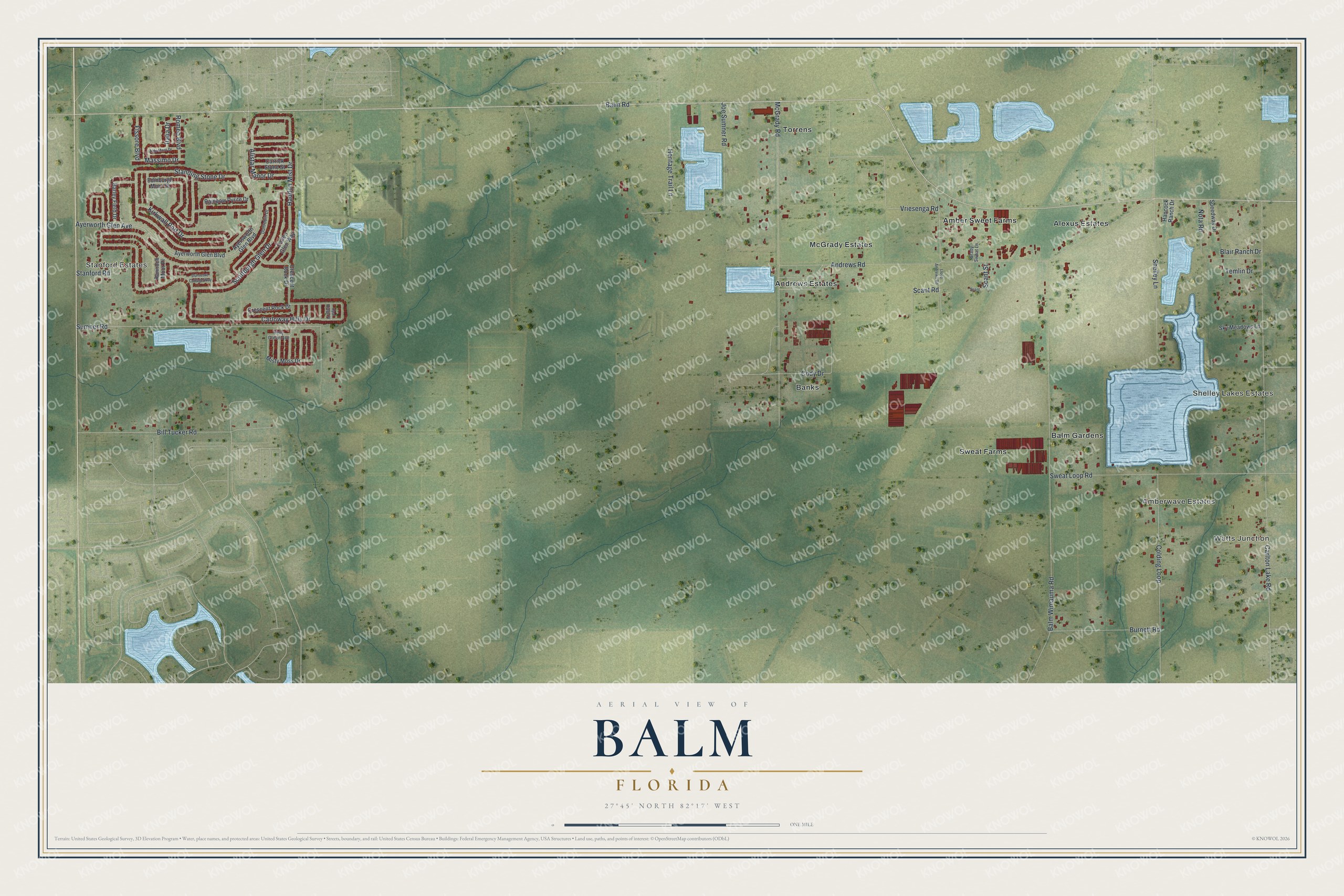
This beautifully detailed map of Balm, Florida was created in 2026 using aerial imagery combined with modern topographical, census, street and landmark data. It's a modern aerial view of Balm in Hillsborough County, Florida, that combines modern data with a vintage aesthetic. The roads feature printed names, and if you look closely you can find your exact house accurately shown in its correct location.
Explore an aerial view of Balm, Florida
On this map you'll find Watts Junction, Shelley Lakes Estates, Stanford Estates, Amberwave Estates, Amber Sweet Farms, Banks, Torrens, Sweat Farms, McGrady Estates, Alexus Estates, Andrews Estates, Balm Gardens, and more. Each red shape is a building, so zoom in on the preview and look for yours.
Every town has a first chapter, and Balm is no exception. Balm grew up around one of the stations on a new railroad built south from Turkey Creek beginning in October 1901. The town boomed, drawing a cotton gin, logging outfits and packing houses for the newly planted strawberry and potato fields. That's from the Osprey Observer.
Balm is a community in Hillsborough County. The Census Bureau counted 6,541 people here in 2020.
Take a closer look at the Balm map
Names on this map
These names are printed on this map.
Places: Watts Junction, Shelley Lakes Estates, Stanford Estates, Amberwave Estates, Amber Sweet Farms, Banks, Torrens, Sweat Farms, McGrady Estates, Alexus Estates, Andrews Estates and Balm Gardens.
Streets and roads: Balm Road, Carloway Hills Drive, Balm Wimauma Road, Carlton Lake Road, Standing Stone Drive, Ayerworth Glen Avenue, McGrady Road, Sumner Road, Sweat Loop Road, Vriesenga Road, Haddon Mist Drive, Alistar Manor Drive.
More street names, A to Z
Aldo Moro Drive, Andrews Road, Ayersworth Glen Boulevard, Ayerworth Glen Boulevard, Barley Field Drive, Bill Tucker Road, Blair Ranch Drive, Burnett Road, Callen Glen Way, Carrick Stone Street, Cody Drive, Colding Loop, Crescent Rock Drive, Crescent Rock Dt, Dunrobin Drive, Dunscore Cottage Way, Edinburgh Moor Drive, Fissore Boulevard, Grady Sweat Lane, Hancock Ranch Drive, Heritage Trail Lane, Italia Drive, Joe Sumner Road, Kelly Green Avenue, Kirkwall Port Drive, Lloyd Andrews Road, Massimo Drive, Misty Moss Drive, Nota Road, Opal Ridge Place, Rainbow Pyrite Drive, Rannoch Moor Place, Romeo Boulevard, Scant, Scant Road, Scant Street, Scottburgh Glen Drive, Shelley Lane, Sky Meadows Lane, Speedway Drive, Stanford Road, Temlin Drive.
See it on a wall
The Balm map as a framed print. Swipe for more.


Created by KNOWOL in 2026. The buildings are small red shapes, the roads carry their printed names, and shaded relief shows the shape of the land. The title panel reads "AERIAL VIEW OF BALM, FLORIDA" with 27°45' NORTH 82°17' WEST.
Hang it in the hallway, the office or the cabin, or give it to someone who left Balm and still calls it home. Open the preview and look for a street you know. See sizes and frames for the Balm map.