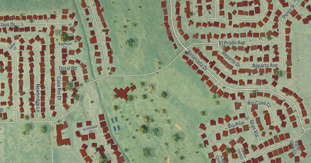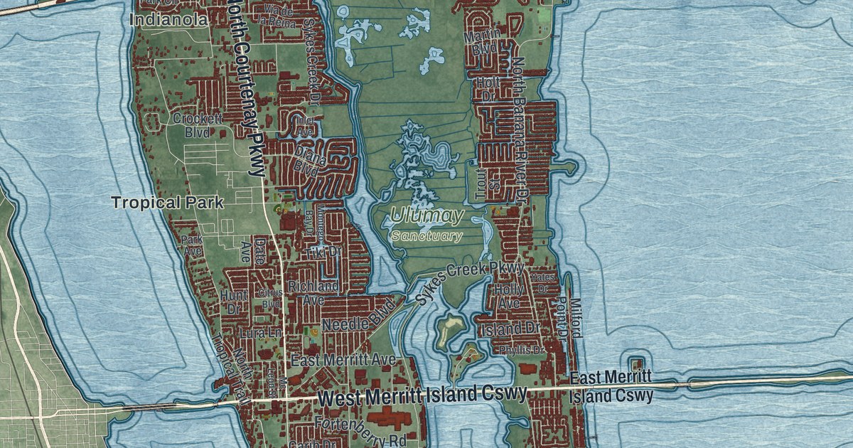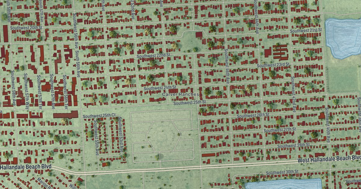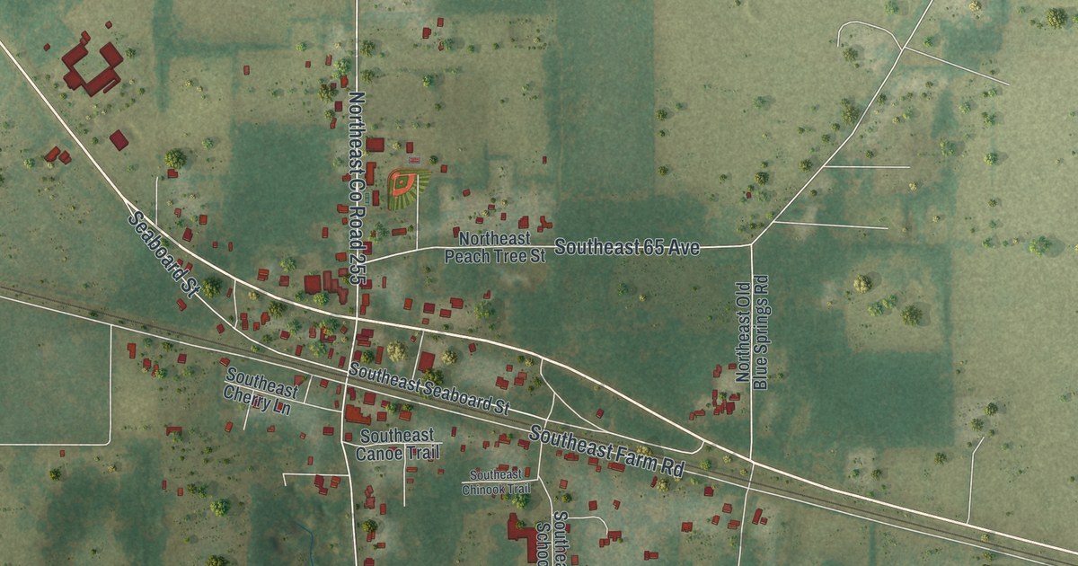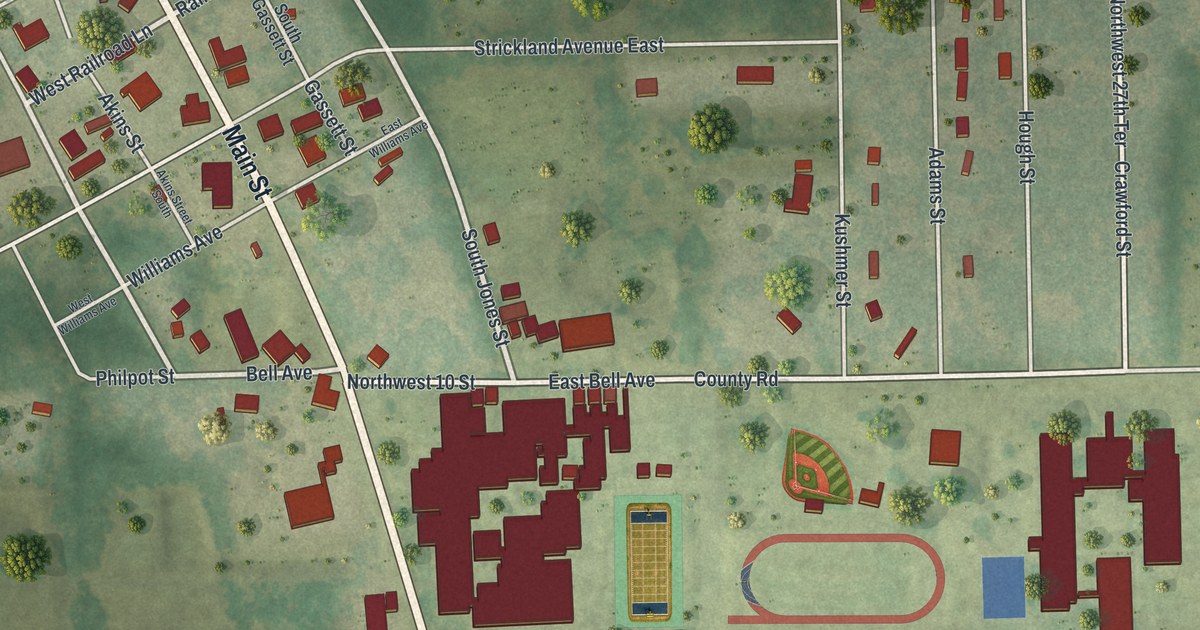
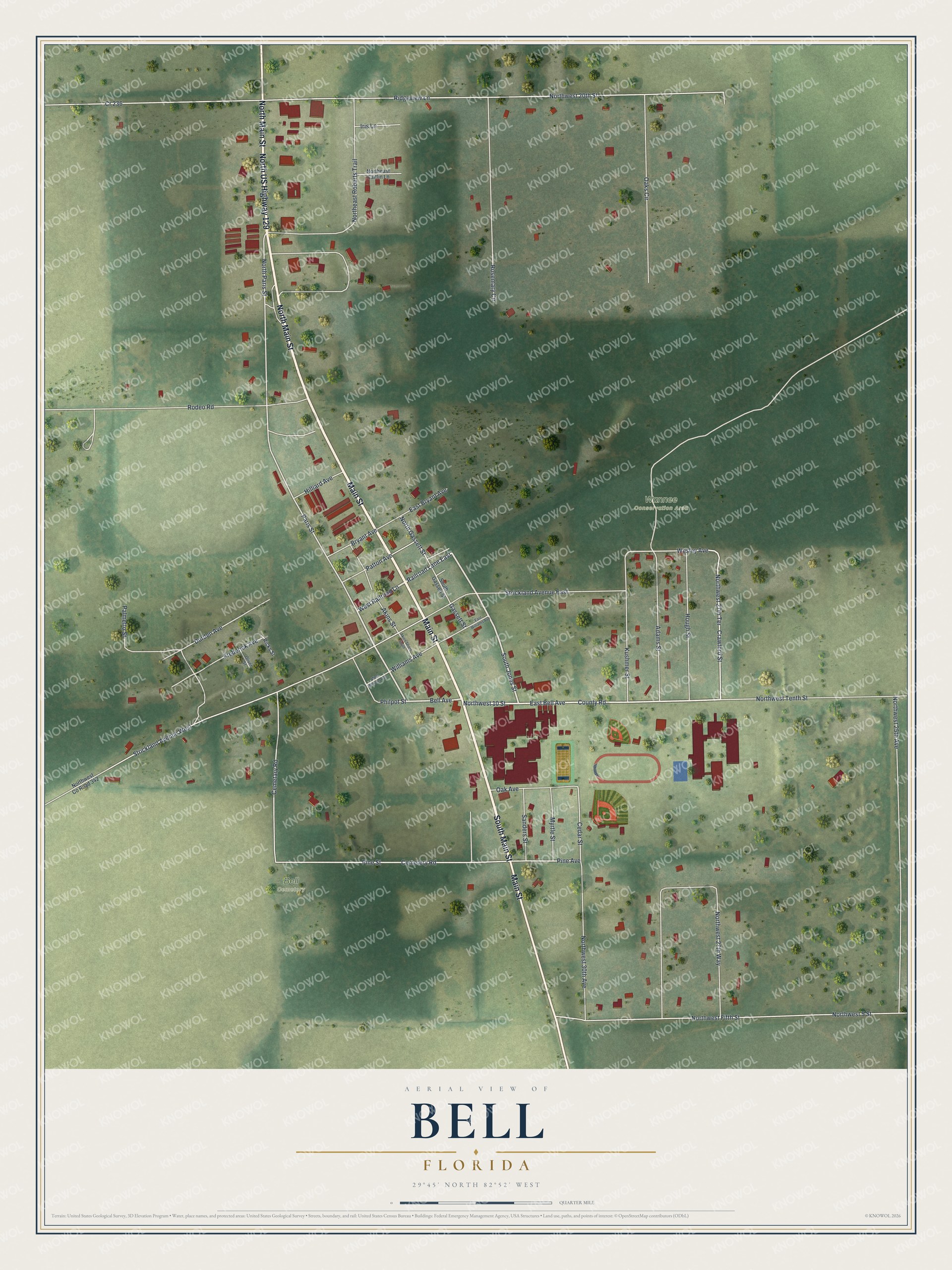
This beautifully detailed map of Bell, Florida was created in 2026 using aerial imagery combined with modern topographical, census, street and landmark data. It’s a one-of-a-kind view of Bell that combines accurate data with a vintage aesthetic. The map shows every building in its true location, many of the roads carry their names, and the shaded topographic relief shows the shape of the land.
Explore an aerial view of Bell, Florida
On the map you’ll find Wannee Conservation Area and Bell Cemetery, along with South Main Street, Main Street, North Main Street, North US Highway 129, Railroad Lane East, West Railroad Lane, South Jones Street, Northwest 10 Street, North Paris Street, Paris Street, and more. If you look closely you can even find your house accurately drawn in its correct location. Zoom in on the preview to look for yours.
Did You Know?
Bell was founded in the 1890s and took its name from Bell Fletcher, who had won a beauty contest. A railroad reached the town in the early 1900s, and a train depot was built around 1905. That depot was restored and now serves as the town hall.
Take a closer look at the Bell map
Names on this map
These names are printed on this map.
Places: Wannee Conservation Area and Bell Cemetery.
Streets and roads: South Main Street, Main Street, North Main Street, North US Highway 129, Railroad Lane East, West Railroad Lane, South Jones Street, Northwest 10 Street, North Paris Street, Paris Street, Bell Avenue, County Road.
More street names, A to Z
Adams Street, Akins Street, Akins Street South, Bryant Avenue, Cedar Street, Cemetary Road, Cemetery Road, Cr 236, Crawford Street, Durden Avenue, East Bell Avenue, East Bryant Avenue, East Williams Avenue, Frederick Avenue, Gassett Street, Hilliard Avenue, Hough Street, Iris Lane, Kushmer Street, Myrtle Street, Northeast Caitlin Lane, Northeast Roberts Trail, North Gassett Street, Northwest 5 Street, Northwest 20th Street, Northwest 25th Avenue, Northwest 27th Terrace, Northwest 27th Way, Northwest 30th Avenue, Northwest County Road 342, Northwest Fifth Street, Northwest Tenth Street, Oak Avenue, Oaks Circle, Oliver Street, Palmetto Street, Patton Avenue, Philpot Street, Pine Avenue, Pine Street, Ricks Street, Ridgeview Lane, Rodeo Road, Rosemary Circle, Sanders Street, South Gassett Street, Strickland Avenue East, Strickland Avenue West, Wesley Avenue, West Williams Avenue, Williams Avenue.
See it on a wall
The Bell map as a framed print. Swipe for more.


This beautifully detailed map of Bell makes an attractive addition to your office, library, or den, and it can even be used to teach children the geography and history of the area. It also makes a great gift for anyone who grew up in Bell or moved away. When you’re done exploring, click here to get your copy of the Bell map.