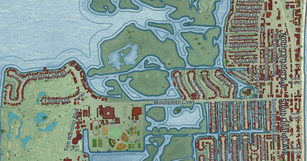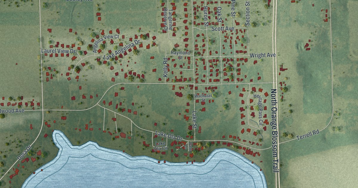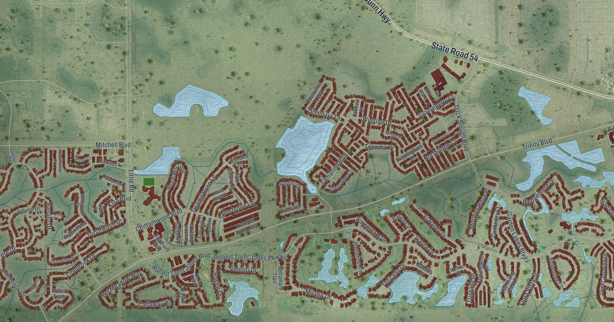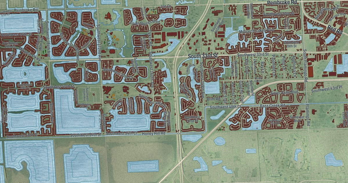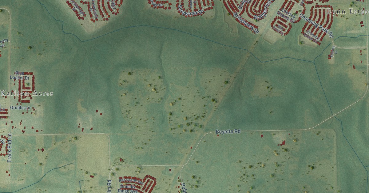
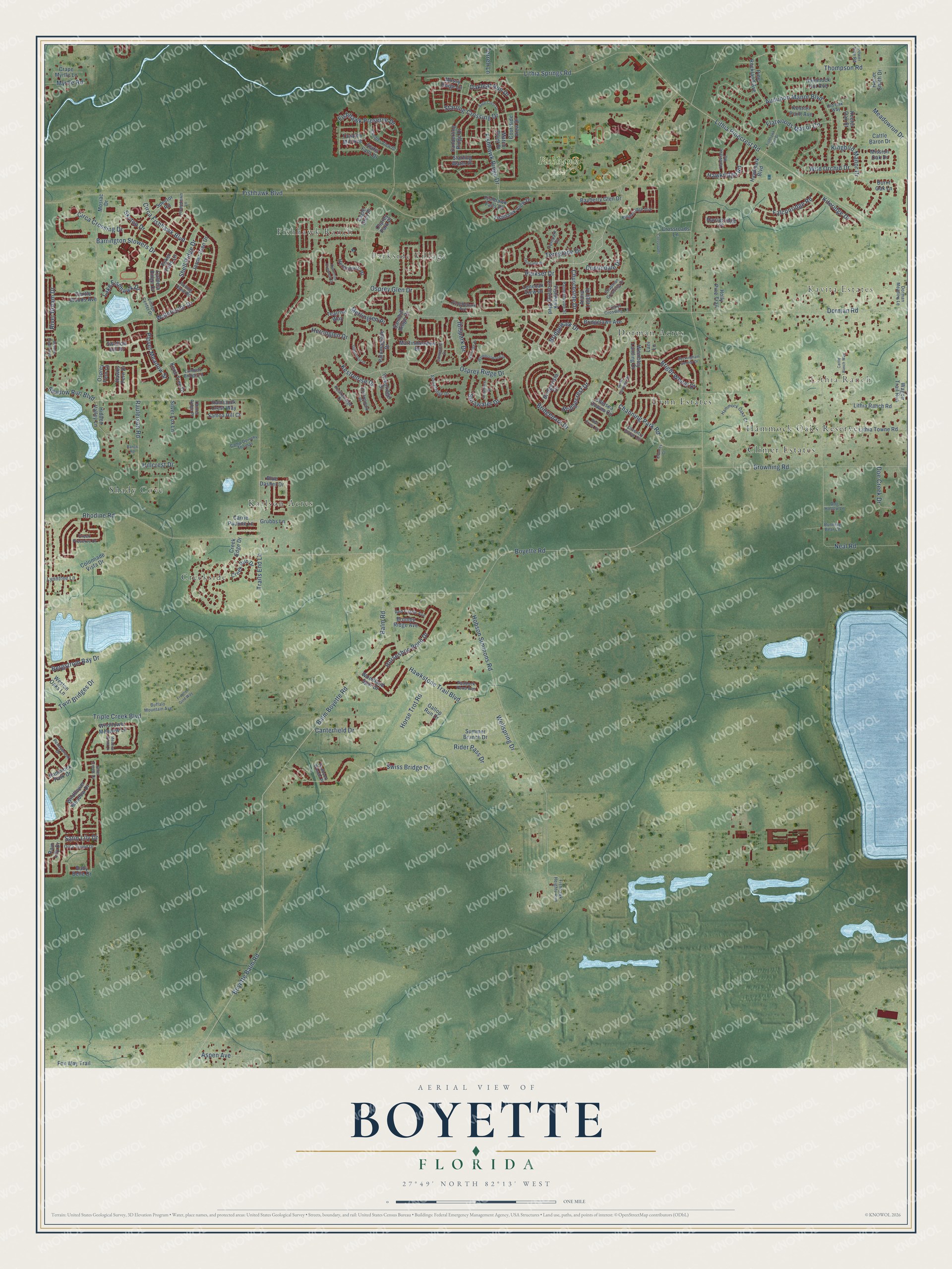
This beautifully detailed map of Boyette, Florida was created in 2026 using aerial imagery combined with modern topographical, census, street and landmark data. It’s a one-of-a-kind view of Boyette that combines accurate data with a vintage aesthetic. The map shows every building in its true location, many of the roads carry their names, and the shaded topographic relief shows the shape of the land.
Explore an aerial view of Boyette, Florida
On the map you’ll find Kavita Estates, Lithia Ranch, Fishhawk Park, Karlson Acres, Fishhawk Ranch, Lynn Estates, Creekside, Shady Cove, Climer Estates, Parkside Village, Dorman Acres, Hammock Oaks Reserve, and more. If you look closely you can even find your house accurately drawn in its correct location. Zoom in on the preview to look for yours.
Take a closer look at the Boyette map
Names on this map
These names are printed on this map.
Places: Kavita Estates, Lithia Ranch, Fishhawk Park, Karlson Acres, Fishhawk Ranch, Lynn Estates, Creekside, Shady Cove, Climer Estates, Parkside Village, Dorman Acres and Hammock Oaks Reserve.
Streets and roads: Barrington Stowers Drive, Shadow Run Boulevard, Ibispark Drive, Balm Road, Boyette Road, Fishhawk Boulevard, Balm Boyette Road, Dorman Road, Boyette Balm Road, Osprey Ridge Drive, Lithia Pinecrest Road, Hobson Simmons Road.
More street names, A to Z
Alafia Falls Drive, Alana Leigh Place, Aspen Avenue, Audubon Manor Boulevard, Avocetridge Drive, Baby Belle Drive, Bayberry Glen Drive, Bergstrom Bay Drive, Blue Dasher Drive, Boyette Creek Boulevard, Bridgecrest Drive, Bridgelawn Avenue, Bridgepark Drive, Bridgevista Drive, Bridgewalk Drive, Bright Wheat Drive, Bromley Court, Browning Road, Brumby Ridge Avenue, Buckingham Garden Drive, Buffalo Mountain Avenue, Burnt Oak Lane, Caldera Ridge Drive, Camp Dorothy Thomas, Candler View Drive, Canterfield Drive, Carrie Pauline Lane, Cattle Baron Drive, Cattle Ranch Way, Channing Park Road, Chapman Crossing Drive, Chelsea Downs Circle, Churchside Drive, Circa Crossing Drive, Circa Fishhawk Boulevard, Colonnade Vista Drive, Courtside View Drive, Coventry Grove Circle, Crape Myrtle Lane, Creek Edge Drive, Creek Preserve Drive, Creek Run Drive, Crossroads, Crossroads Lane, Doe Creek Drive, Dog Hollow Lane, Dorman Meadow Lane, Dunlindale Drive, Eagle Glen Place, Egret Crossing Lane, Esker Falls Lane, Falconridge Road, Fishhawk Crossing Boulevard, Fishhawk Falls Drive, Fishhawk Heights Run, Fishhawk Preserve Drive, Fishhawk Ridge Drive, Fishhawk Trail Drive, Fishhawk View Drive, Flatwoods Manor Circle, Foster Carriage Road, Fox Way Trail, Frontier Gold Way, Gallop Run Drive, Gannetdale Drive, Gentle Woods Avenue, Grubbs Lane, Hammock Crest Way, Hammock Hill Avenue, Hammock Oaks Court, Hammock Park Drive, Harrierridge Place, Harter Smith Drive, Hawklake Road, Hawkpark Boulevard, Hawkridge Road, Hawks Fern Drive, Hawkstone Trail Boulevard, Heronglen Drive, Heronpark Place, Heronrise Crescent Drive, Hidden Valley Lane, Hillcrest Drive, Holly Pine Trail, Hometown Lane, Horseshoe Bend Drive, Horse Trot Road, Ibisridge Drive, Jasper Glen Drive, Jeter Creek Drive, Keeler Oak Street, Kestrelpark Drive, Kestrel Point Avenue, Kestrelridge Drive, Kestrelrise Drive, Kingbird Manor Drive, Kingletridge Avenue, Kiteridge Drive, Knob Tree Drive, Lake Fishhawk Drive, Lambert Bridge Lane, Lani Lane, Lithia Ranch Road, Lithia Springs Road, Lithia Towne Road, Loneoak View Drive, Lynntree Lane, Martinmeadow Drive, Match Point Place, Meadow Pond Lane, Meadowrun Drive, Merlinglen Place, Mission Oak Drive, Mosiac Drive, Mossy Ridge Lane, Myrtle Road, Neal Road, New Cross Circle, Oakleaf Run Drive, Old Oak Way, Orca Sound Drive, Osprey Fern Lane, Osprey Glen Drive, Osprey Park Place, Paddock Pond Avenue, Paddock Woods Place, Palmettoside Street, Palomaglade Drive, Parkset Drive, Pennybrook Drive, Phoebepark Avenue, Pine Rockland Avenue, Plover Meadow Street, Power Line Road, Rain Lily Drive, Ranch Road, Raulerson Road, Red Castle Avenue, Rhodine Road, Rider Pass Drive, River Bream Drive, Rolling Dune Road, Running Bear Lane, Sage Crest Drive, Samoa Hill Court, Sanderling Ridge Drive, Sandhill Ridge Drive, Satin Lily Drive, Shearcrest Drive, Shell Ridge Drive, Silver Fox Lane, Skytop Drive, Soratrace Street, Sorawater Drive, Spector Road, Starling Crossing Drive, Starling Water Drive, Summer Branch Drive, Swallow Hill Drive, Swiss Bridge Drive, Tanner Ridge Place, Tavares Mill Avenue, Tealrise Way, Terncrest Drive, Ternglade Drive, Ternpark Drive, Terrell Lane, Thompson Road, Trails End Lane, Triple Creek Boulevard, Twin Bridges Drive, Village Center Drive, Vireoridge Drive, Wagon Trail Run, Watercolor Drive, Wellspring Drive, Wembley Landing Drive, Weston Oaks Lane, Whimbrelwood Drive, Wildflower Meadow Drive, Wildflower Meadow Lane, Wild Orchid Drive, Woodland Spur Drive.
See it on a wall
The Boyette map as a framed print. Swipe for more.


This beautifully detailed map of Boyette makes an attractive addition to your office, library, or den, and it can even be used to teach children the geography and history of the area. It also makes a great gift for anyone with Boyette roots. When you’re done exploring, click here to get your copy of the Boyette map.