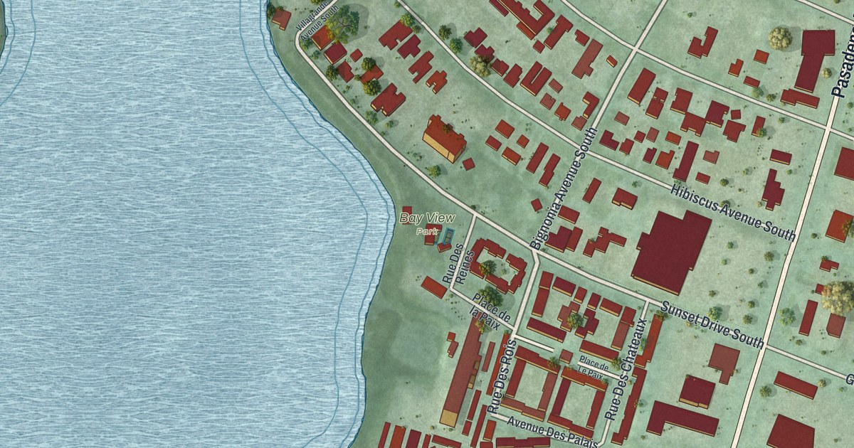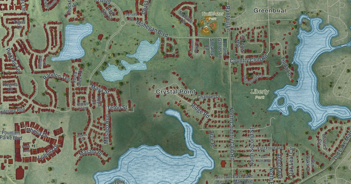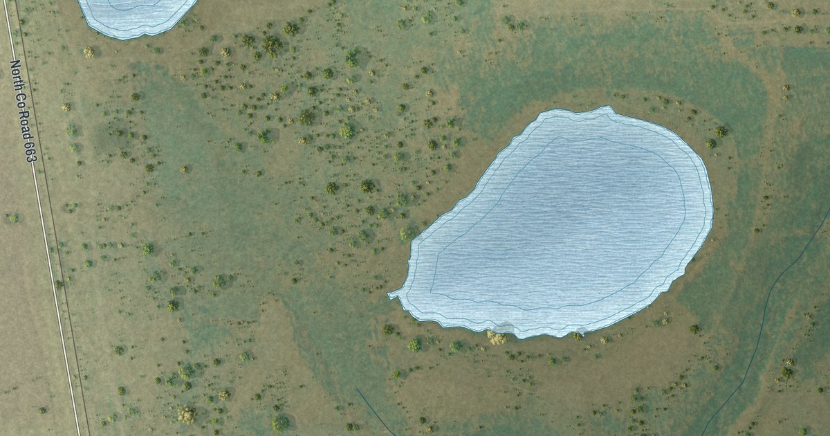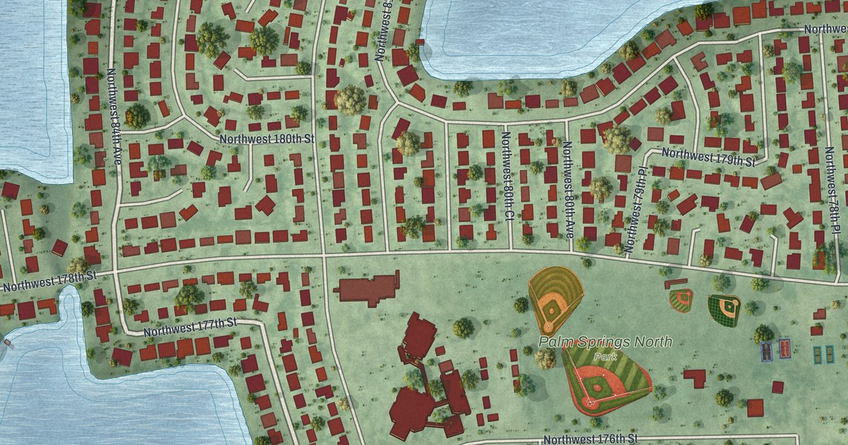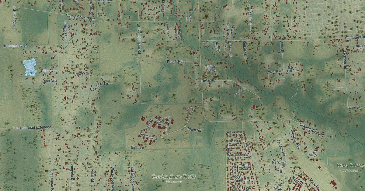
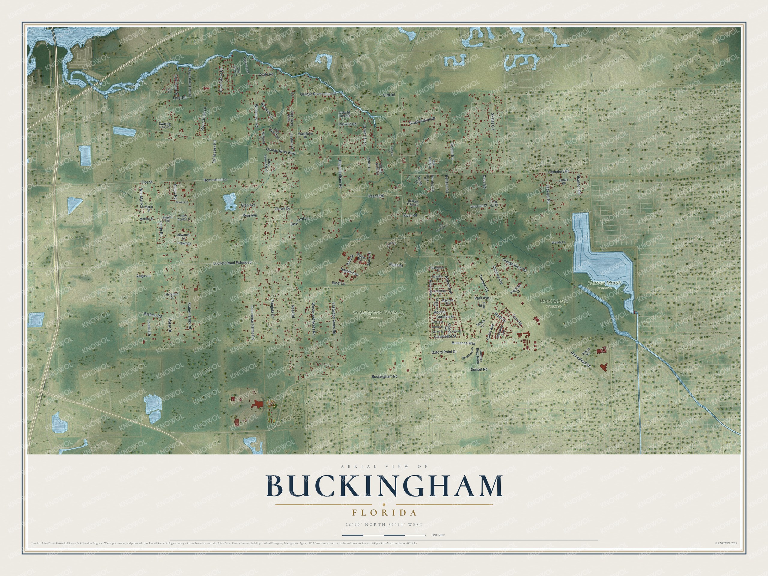
This beautifully detailed map of Buckingham, Florida was created in 2026 using aerial imagery combined with modern topographical, census, street and landmark data. It's a modern aerial view of Buckingham in Lee County, Florida, that combines modern data with a vintage aesthetic. The roads feature printed names, and if you look closely you can find your exact house accurately shown in its correct location.
Explore an aerial view of Buckingham, Florida
On this map you'll find Buckingham Trails Preserve, Harnes Marsh Preserve, West Marsh Preserve, Higginbotham Road, Tech Road, Buckingham Road, Orange River Boulevard, Neal Road, Cemetery Road, Staley Road, Skates Circle, Orange River Loop Road, and more. Each red shape is a building, so zoom in on the preview and look for yours.
Every town has a first chapter, and Buckingham is no exception. Buckingham, once known as Orange River or Twelve Mile Creek, was settled by people of British ancestry. They called their community Buckingham, possibly tongue in cheek, after Buckingham Castle in England. Its fruit was boated down the Orange River to the Caloosahatchee and on to Fort Myers. In 1942 the Army Air Corps opened a flexible gunnery school at Buckingham, and children from the base went to classes in the old Buckingham schoolhouse. That's from the National Register of Historic Places.
Buckingham is a community in Lee County. The Census Bureau counted 4,443 people here in 2020.
Take a closer look at the Buckingham map
Names on this map
These names are printed on this map.
Places: Buckingham Trails Preserve, Harnes Marsh Preserve and West Marsh Preserve.
Streets and roads: Higginbotham Road, Tech Road, Buckingham Road, Orange River Boulevard, Neal Road, Cemetery Road, Staley Road, Skates Circle, Orange River Loop Road, Pangola Drive, Homestead Lane, Binet Lane.
More street names, A to Z
Aliwanna Lane, Angus Lane, Arbor Avenue, Astoria Avenue, Barkwood Street, Bellaire Road, Benedict Street, Berger Avenue, Binghampton Drive, Bird Road, Bowers Lane, Brahma Road, Brittain Oaks Drive, Brooklands Drive, Brooks Road, Cadet Avenue, Callan Street, Campus Street, Carlos Street, Carlotta Street, Carter Road, Castalia Court, Cedardale Street, Cedar Hammock Court, Cerrito Street, Chabot Avenue, Chancellor Street, Channing Avenue, Cherokee Avenue, Clover Drive, Cow Trail Lane, Coyle Road, Dana Road, East Hal Court, Eastwood Acres Road, Equestrian Cove Drive, Flightline Court, Fpl Access Road, Glen Avenue, Goeble Road, Greenbriar Farms Road, Gunnery Road North, Harmony Drive, Hereford Drive, Homestead Road, Horse Creek Boulevard, Idylwild Farm Road, Idylwild Road, Industry Avenue, Irish Lane, Itard Street, Jackson Road, James Road, Landen Lane, Lazy Acres Lane, Little Creek Drive, Long Lake Drive, Long Road, Louella Drive, Luckett Road Extended, Marie Street, Martha Street, Maytree Circle, Melaluca Drive, Muddy Lane, Mulsanne Way, Nocatee Lane, Nokomis Court, North Drive, Oak Acres Lane, Oak Hammock Lane, Oak Run Lane, Obannon Road, Ona Drive, Orange River Road, Oxford Point Drive, Paradise Lane, Park Avenue, Patsy Drive, Peace Road, Pine Avenue, Pine Level Way, Pine Street, Plant Road, Previtt Road, River Grove Circle, River Grove Lane, River Road, Roof Street, Sandin Road, School Lane, Seguin Avenue, Shady River Lane, Staley Farms Road, Strauss Street, Sunset Road, Swaying Oaks Court, Terman Circle, Terrace Road, Tice Street, Venice Avenue, Washburn Drive, Wendy Lane, Wes Mar Road, West Hal Court, Westwood Acres Road, Williamson Road.
See it on a wall
The Buckingham map as a framed print. Swipe for more.


Created by KNOWOL in 2026. The buildings are small red shapes, the roads carry their printed names, and shaded relief shows the shape of the land. The title panel reads "AERIAL VIEW OF BUCKINGHAM, FLORIDA" with 26°40' NORTH 81°44' WEST.
Hang it in the hallway, the office or the cabin, or give it to someone who left Buckingham and still calls it home. Open the preview and look for a street you know. See sizes and frames for the Buckingham map.