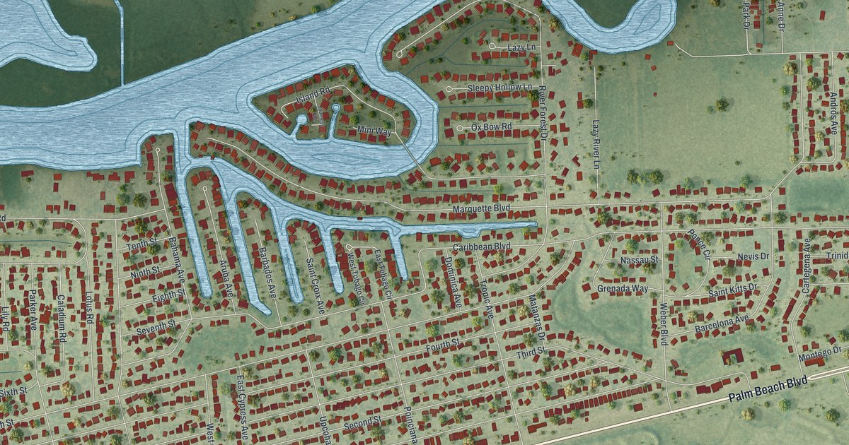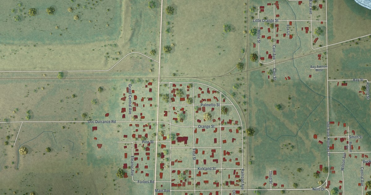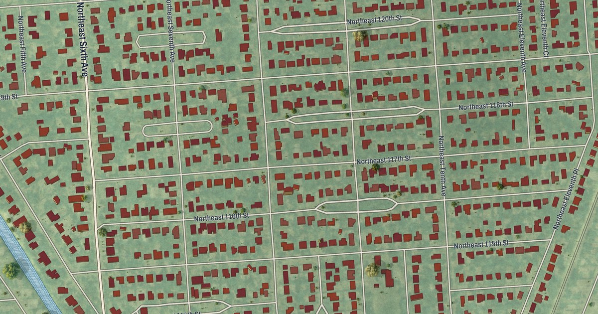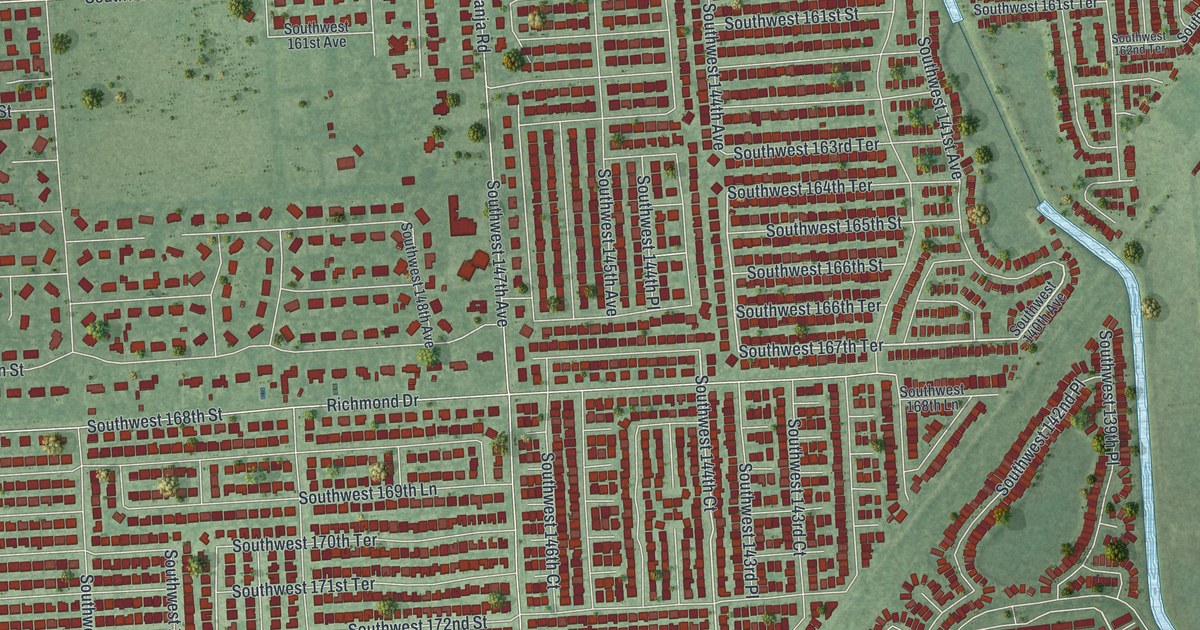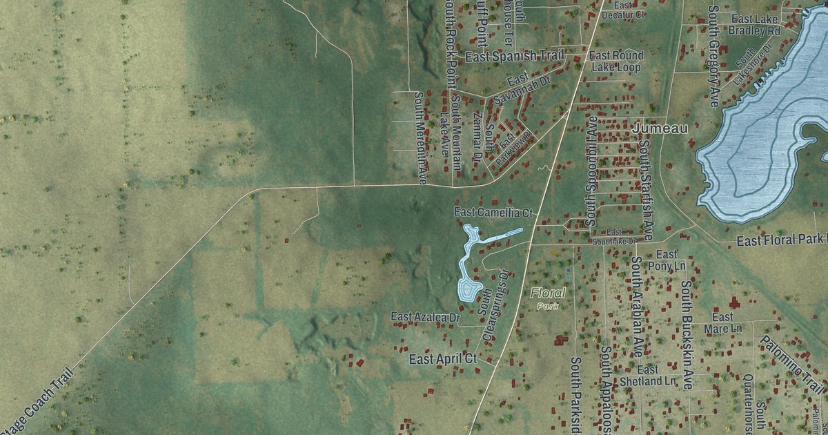
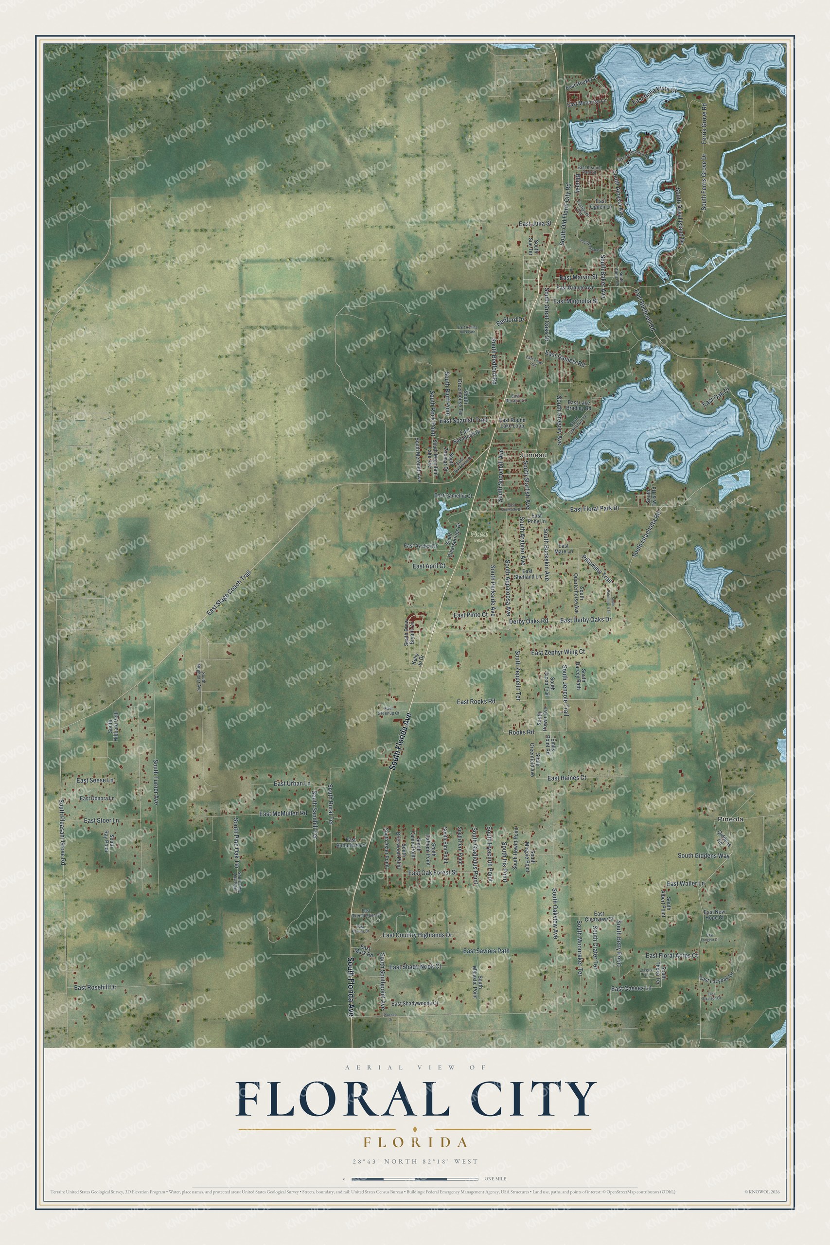
This beautifully detailed map of Floral City, Florida was created in 2026 using aerial imagery combined with modern topographical, census, street and landmark data. It's a modern aerial view of Floral City in Citrus County, Florida, that combines modern data with a vintage aesthetic. The roads feature printed names, and if you look closely you can find your exact house accurately shown in its correct location.
Explore an aerial view of Floral City, Florida
On this map you'll find Jumeau, Floral Park, Pineola, South Florida Avenue, East Derby Oaks Drive, South Bedford Road, Derby Oaks Road, South Ferris Grove Drive, Bedford Drive, East Stage Coach Trail, East Haines Court, South Duval Island Drive, and more. Each red shape is a building, so zoom in on the preview and look for yours.
Here is a piece of Floral City history. Floral City was surveyed and platted in 1883 by Senator Austin Mann and a surveyor, and they named the town for its many wildflowers and blooming trees. A year later, residents planted the oak canopy along Orange Avenue and Aroostook Way. In the 1890s a dozen phosphate mines opened in the area, and mine workers swelled the village to nearly 10,000 people, larger than Miami was at that time. That's from the Florida Division of Historical Resources.
Floral City is a community in Citrus County. The Census Bureau counted 5,261 people here in 2020.
Take a closer look at the Floral City map
Names on this map
These names are printed on this map.
Places: Jumeau, Floral Park and Pineola.
Streets and roads: South Florida Avenue, East Derby Oaks Drive, South Bedford Road, Derby Oaks Road, South Ferris Grove Drive, Bedford Drive, East Stage Coach Trail, East Haines Court, South Duval Island Drive, Rooks Road, South Istachatta Road, South Pleasant Grove Road.
More street names, A to Z
Bluejay, Cassex Lane, East April Court, East Atkinson Court, East Azalea Drive, East Bella Vista Court, East Bushnell Road, East Camellia Court, East Cassex Lane, East Clearview Street, East Country Highlands Drive, East Daniels Road, East Decatur Court, East Devilsneck Road, East Donora Lane, East Fleming Court, East Floral Acres Court, East Floral Park Drive, East Greenup Court, East Hooker Place, East Julia Street, East Keating Park Street, East Lake Bradley Road, East Lazyoak Drive, East Longear Court, East Magnolia Street, East Mare Lane, East Mark Road, East Marvin Street, East McMullen Road, East Moonrise Lane, East New Hope Court, East Oak Court, East Oak Forest Street, East Ogden Lane, East Okeechobee Court, East Orange Avenue, East Parkview Place, East Pinto Court, East Pony Lane, East Rolling Hills Path, East Rooks Road, East Rosehill Drive, East Round Lake Loop, East Savannah Drive, East Saviors Path, East Seese Lane, East Shady Nook Court, East Shadywoods Court, East Shetland Lane, East Southlake Drive, East Spanish Trail, East Stoer Lane, East Suburban Lane, East Tower Trail, East Urban Lane, East Waller Lane, East Zephyr Wing Court, Emils Point Road, Evergreen Loop, Ferris Grove Road, Giddens Road, Kelly Jo Drive, Palomino Trail, Pawnee Drive, South Albert Point, South Aloysia Avenue, South Annie Terrace, South Appaloosa Avenue, South Arabian Avenue, South Aster Point, South Baker Avenue, South Betty Point, South Bluff Point, South Brierwood Point, South Brightstar Avenue, South Buckskin Avenue, South Canna Point, South Clearsprings Drive, South Crater Terrace, South Daffodil Point, South Darcey Path, South Drew Bryant Circle, South Eastlake Drive, South Elm Point, South Fern Point, South Giddens Way, South Gladiolus Point, South Great Oaks Drive, South Greenfield Avenue, South Greenhouse Terrace, South Gregory Avenue, South Hewitt Point, South Hibbard Path, South Hyacinth Point, South Iris Point, South Jacob Trail, South Jencole Trail, South Lakeshore Drive, South Magpie Point, South Majestic Point, South Meredith Avenue, South Moonraker Terrace, South Mountain Lake Avenue, South Oakview Avenue, South Old Floral City Road, South Palomino Trail, South Parkside Avenue, South Pine Oak Point, South Pine Oak Terrace, South Power Avenue, South Quarterhorse Avenue, South Ray Point, South Rock Point, South Rural Terrace, South Sandhill Terrace, South Southpoint Avenue, South Spoonbill Avenue, South Starfish Avenue, South Sue Terrace, South Thexa Terrace, South Turner Avenue, South Twist Road, South Zanmar Drive, South Zeppelin Terrace.
See it on a wall
The Floral City map as a framed print. Swipe for more.


Created by KNOWOL in 2026. The buildings are small red shapes, the roads carry their printed names, and shaded relief shows the shape of the land. The title panel reads "AERIAL VIEW OF FLORAL CITY, FLORIDA" with 28°43' NORTH 82°18' WEST.
It suits a den, a classroom or a front hall, and it makes a gift for anyone with Floral City roots. Open the preview and find the block you know. See sizes and frames for the Floral City map.