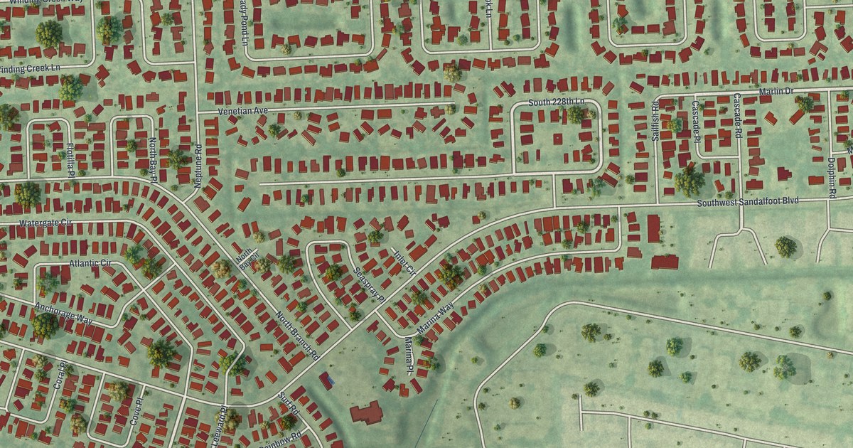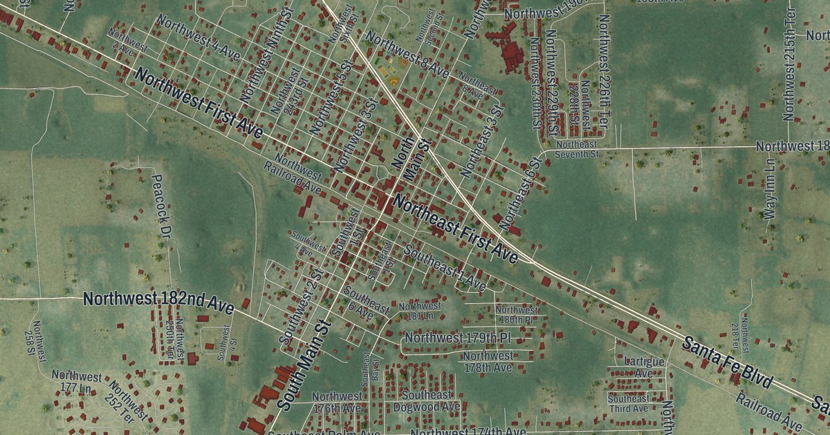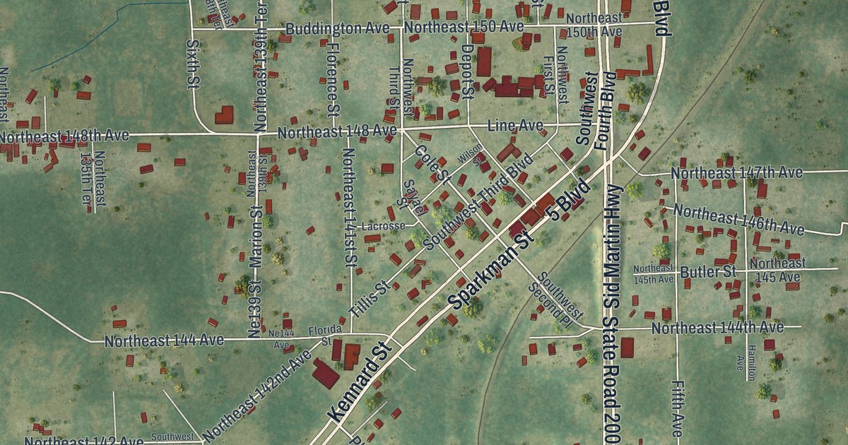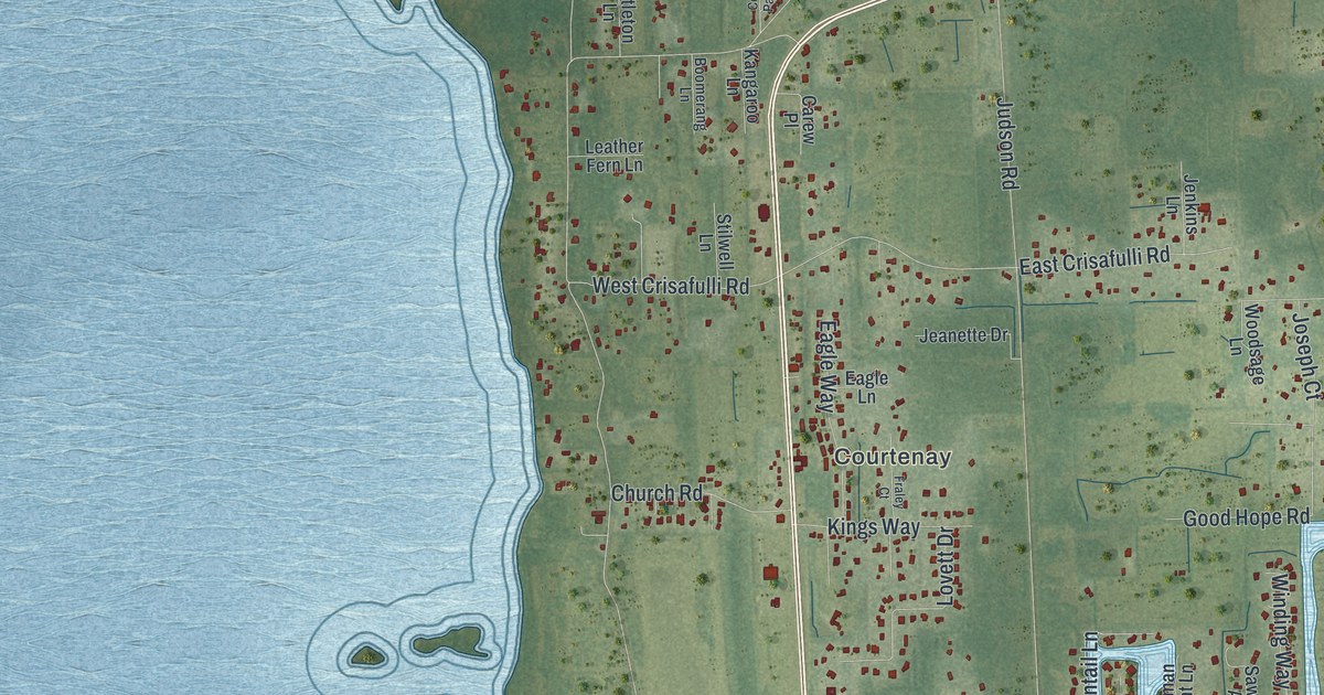
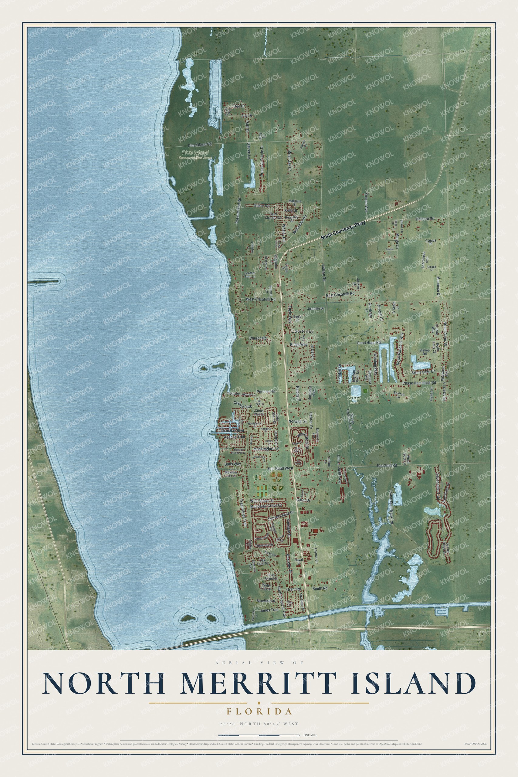
This beautifully detailed map of North Merritt Island, Florida was created in 2026 using aerial imagery combined with modern topographical, census, street and landmark data. It's a modern aerial view of North Merritt Island in Brevard County, Florida, that combines modern data with a vintage aesthetic. The roads feature printed names, and if you look closely you can find your exact house accurately shown in its correct location.
Explore an aerial view of North Merritt Island, Florida
On this map you'll find Courtenay, Kings Park, Pine Island Conservation Area, North Courtenay Parkway, Dee Drive, North Tropical Trail, Pine Island Road, Savannahs Trail, East Crisafulli Road, Chase Hammock Road, East Hall Road, Canal Spoil Bank Road, and more. Each red shape is a building, so zoom in on the preview and look for yours.
Here is a piece of North Merritt Island history. St. Luke’s Episcopal Church of Courtenay was formed by the Porcher, LaRoche, Sams and other families who settled on north Merritt Island in 1875, after losing their South Carolina homes in the Civil War. Edward Porcher gave the land in 1888, and parishioners helped build the chapel of island pine and cypress. In the early years the church had no vicar, so ministers from Cocoa and Titusville came by boat once a month and members led the weekly services. That's from the Florida Division of Historical Resources.
North Merritt Island is a community in Brevard County. The Census Bureau counted 8,566 people here in 2020.
Take a closer look at the North Merritt Island map
Names on this map
These names are printed on this map.
Places: Courtenay, Kings Park, Pine Island Conservation Area and County Park.
Streets and roads: North Courtenay Parkway, Dee Drive, North Tropical Trail, Pine Island Road, Savannahs Trail, East Crisafulli Road, Chase Hammock Road, East Hall Road, Canal Spoil Bank Road, Judson Road, Hebron Drive, Possom End Road.
More street names, A to Z
Alysian Lane, Andromeda Avenue, Annalisa Place, Annette, Apache Trail, Ashley Court, Baker Road, Biscayne Drive, Bishop Road, Blue Jay Lane, Boomerang Lane, Briar Oak Drive, Broad Acres Street, Carew Place, Church Road, Citrus Club Drive, Coastal Breeze Way, Colony Park Drive, Cygnus Place, Dalbora Road, Deanna Court, Duval Street, Eagle Lane, Eagle Way, Environ Lane, Fay Drive, Floyd Lane, Fraley Court, Gails Way, Garrett Lane, Gator Drive, George Hamilton Trail, Good Hope Road, Grant Road, Hall Road West, Heavenly Street, Heyman Point Lane, Horseshoe Bend, Hunter's Lane, Indian Bay Boulevard, Jeanette Drive, Jenkins Lane, Jerry Lane, Jones Trail, Joseph Court, Joshua Place, Judith Avenue, Kangaroo Lane, Kelly Street, Kings Way, Kruhms Way, Lake Shore Drive, Leather Fern Lane, Leilani Lane, Limerick Drive, Linn Lane, Littleton Lane, Lovett Drive, Loymer Circle, Mandalay Grove Court, Margo Lane, Marilane Street, Maritime Lane, Mc Gill Lane, McGruder Road, Meadow Lark Lane, Mockingbird Lane, Moonrise Drive, North Forty Court, Northgrove Drive, Norwich Street, O'Keefe Lane, Oak Lake Place, Oakridge Avenue, Omega Lane, Panther Lane, Patti Drive, Perkinson Lane, Pine Lake Drive, Pinta Circle, Pintail Lane, Porcher Road, Preserve Pointe Drive, Quail Lane, Ralphs Lane, River Island Street, Royal Paddock Way, Saint Charles Avenue, Sanders Lane, Sand Ridge Drive, Sawgrass Avenue, Sea Gate Circle, Sea Gull Drive, Secluded Way, Seminole Trail, Shane Lane, Shannock Avenue, Shuttle Court, Sierra Drive, Simons Avenue, Smith Road, Spartina Avenue, Starlight Avenue, Stilwell Lane, Stone Lake Drive, Sunset Lakes Drive, Sunset Ridge Drive, Sunward Drive, Timothy Drive, Tipperary Drive, Tradewinds Trail, Treasure Lagoon Lane, Water Oak Drive, West Crisafulli Road, Whaley Road, Wild Flower Street, Wildwood Avenue, Winding Way, Wood Duck Lane, Woodsage Lane, Wood Stork Drive.
See it on a wall
The North Merritt Island map as a framed print. Swipe for more.


Created by KNOWOL in 2026. The buildings are small red shapes, the roads carry their printed names, and shaded relief shows the shape of the land. The title panel reads "AERIAL VIEW OF NORTH MERRITT ISLAND, FLORIDA" with 28°28' NORTH 80°43' WEST.
It suits a den, a classroom or a front hall, and it makes a gift for anyone with North Merritt Island roots. Open the preview and find the block you know. See sizes and frames for the North Merritt Island map.