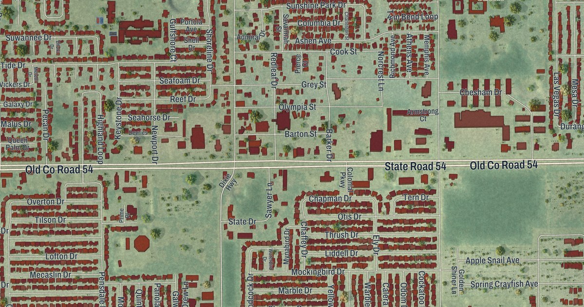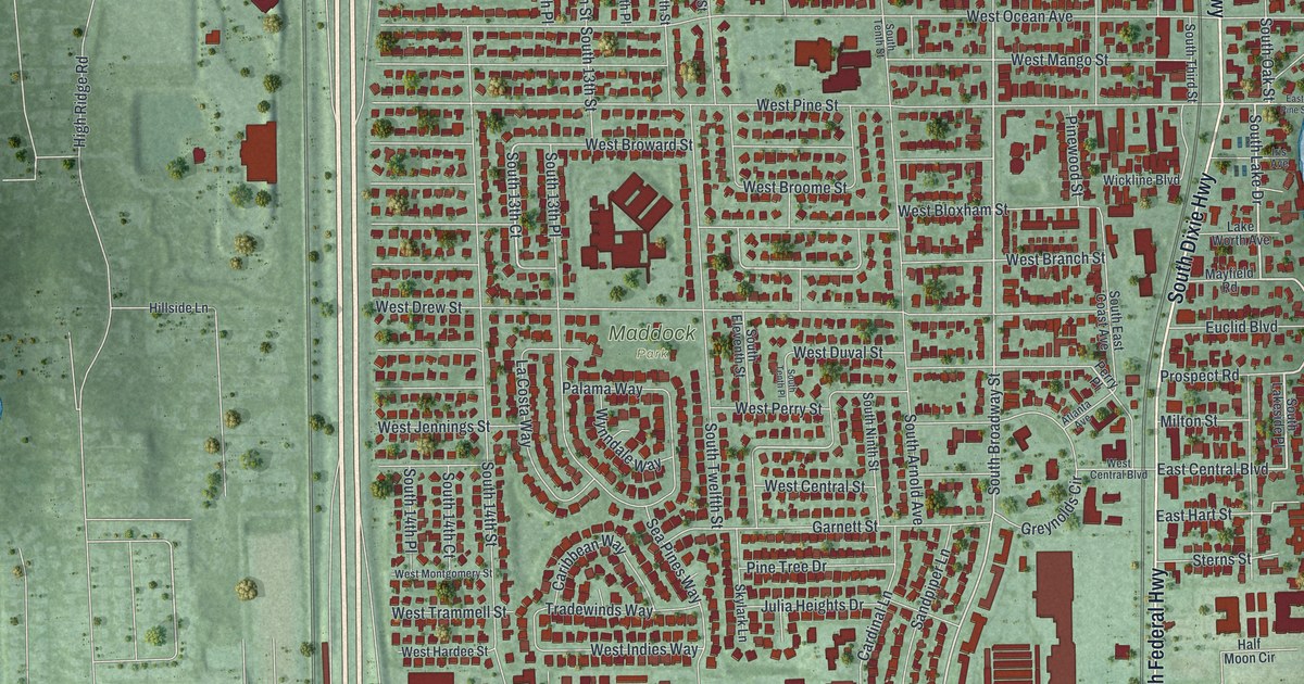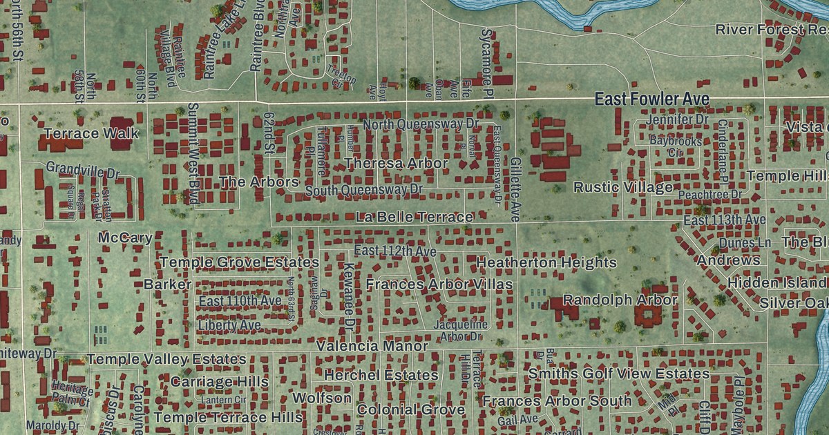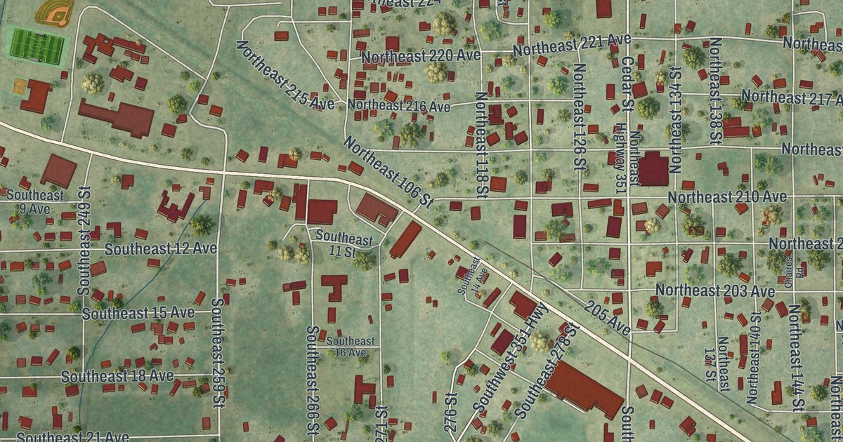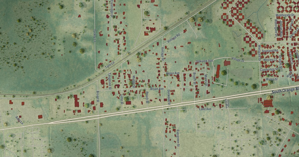
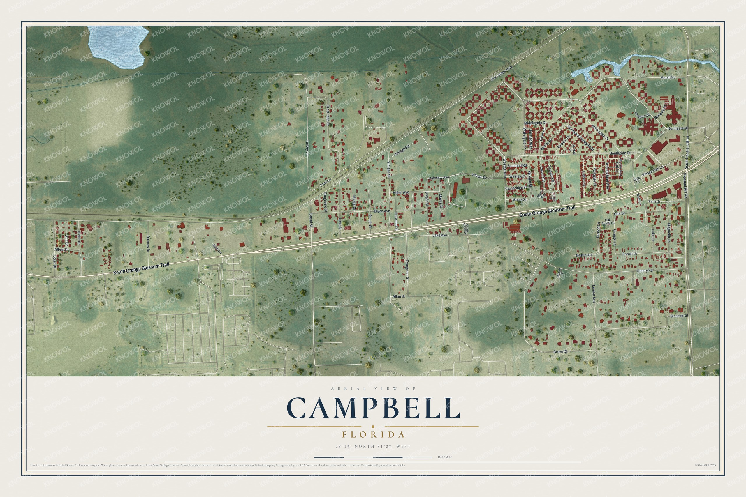
This beautifully detailed map of Campbell, Florida was created in 2026 using aerial imagery combined with modern topographical, census, street and landmark data. It's a modern aerial view of Campbell in Osceola County, Florida, that combines modern data with a vintage aesthetic. The roads feature printed names, and if you look closely you can find your exact house accurately shown in its correct location.
Explore an aerial view of Campbell, Florida
On this map you'll find South Orange Blossom Trail, Northgate Drive, Westgate Drive, Village Drive, Pleasant Hill Road, Oakview Avenue, Village Oak Lane, South Hoagland Boulevard, Northeast Parkgate Drive, Ruston Lane, Orange Lane, Straight Street, and more. Each red shape is a building, so zoom in on the preview and look for yours.
Campbell is a community in Osceola County. The Census Bureau counted 2,610 people here in 2020. Campbell sits about 4 miles southwest of Kissimmee, 7 miles south of Hunters Creek and 7 miles southeast of Celebration. The map prints the town name in its title panel, with the coordinates below it.
Take a closer look at the Campbell map
Names on this map
These names are printed on this map.
Streets and roads: South Orange Blossom Trail, Northgate Drive, Westgate Drive, Village Drive, Pleasant Hill Road, Oakview Avenue, Village Oak Lane, South Hoagland Boulevard, Northeast Parkgate Drive, Ruston Lane, Orange Lane, Straight Street.
More street names, A to Z
Albert Drive, Aldersgate Drive, Allan Street, Ann Drive, Auto Lane, Blossom Street, Broad Street, Bryan Avenue, Bryant Street, Cafe Court, Calvin Circle, Calvin Court, Cambridge Street, Crestridge Drive, Dolores Drive, Durwood Street, Evergreen Street, Fern Drive, Forest Drive, Galway Court, Grove Court, Helen Avenue, Hoeger Circle, Jerstad Way, Judith Drive, Lake Avenue, Lake Lane, Lemon Avenue, Lime Street, London Court, Louis Drive, Luther Lane, Magnolia Lane, Mango Street, Marks Street, Marsh Road, Middlegate Drive, Murray Court, Nesrus Lane, Oak Drive, Oak Forest Lane, Oberry Court, Oberry Road, Old Tampa Highway, Orange Vista Boulevard, Parkgate Drive, Peach Street, Scotland Road, Southgate Drive, Sungate Drive, Tami Lane, Tangerine Street, Turkey Lane, Tyndale Lane, Venice Court, Vintage Road, Vintage Street, Wales Street, Watergate Drive, Wesley Court, Wonderland Park Lane, Wonderland Way, Wyclif Way, Wynn Lane.
See it on a wall
The Campbell map as a framed print. Swipe for more.


Created by KNOWOL in 2026. The buildings are small red shapes, the roads carry their printed names, and shaded relief shows the shape of the land. The title panel reads "AERIAL VIEW OF CAMPBELL, FLORIDA" with 28°16' NORTH 81°27' WEST.
It looks right in a kitchen, an office or a den, and it's a gift for anyone who grew up in Campbell or moved away. Open the preview and find your street. See sizes and frames for the Campbell map.