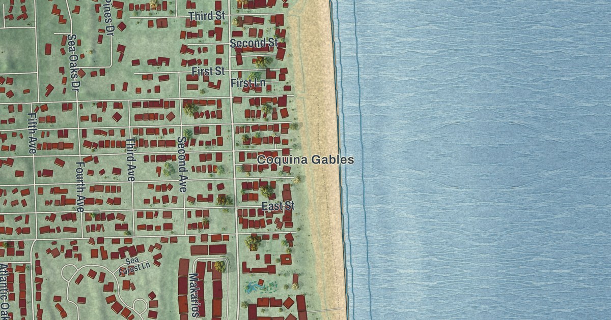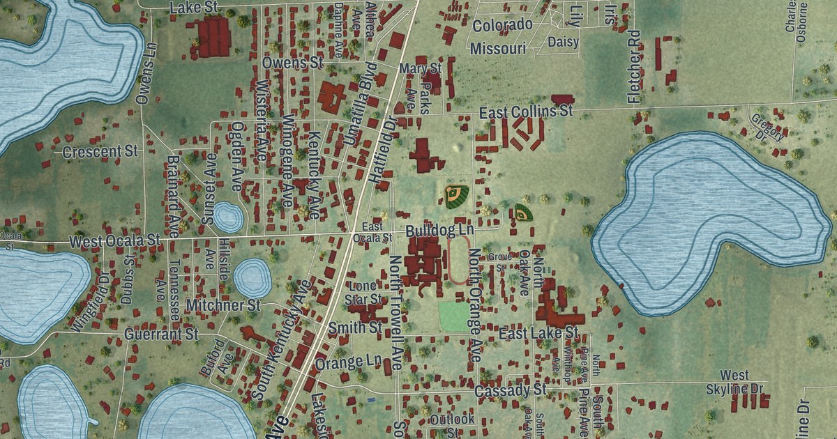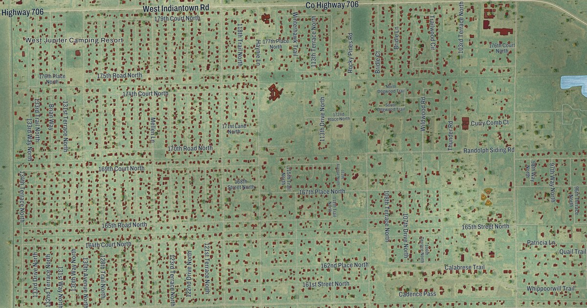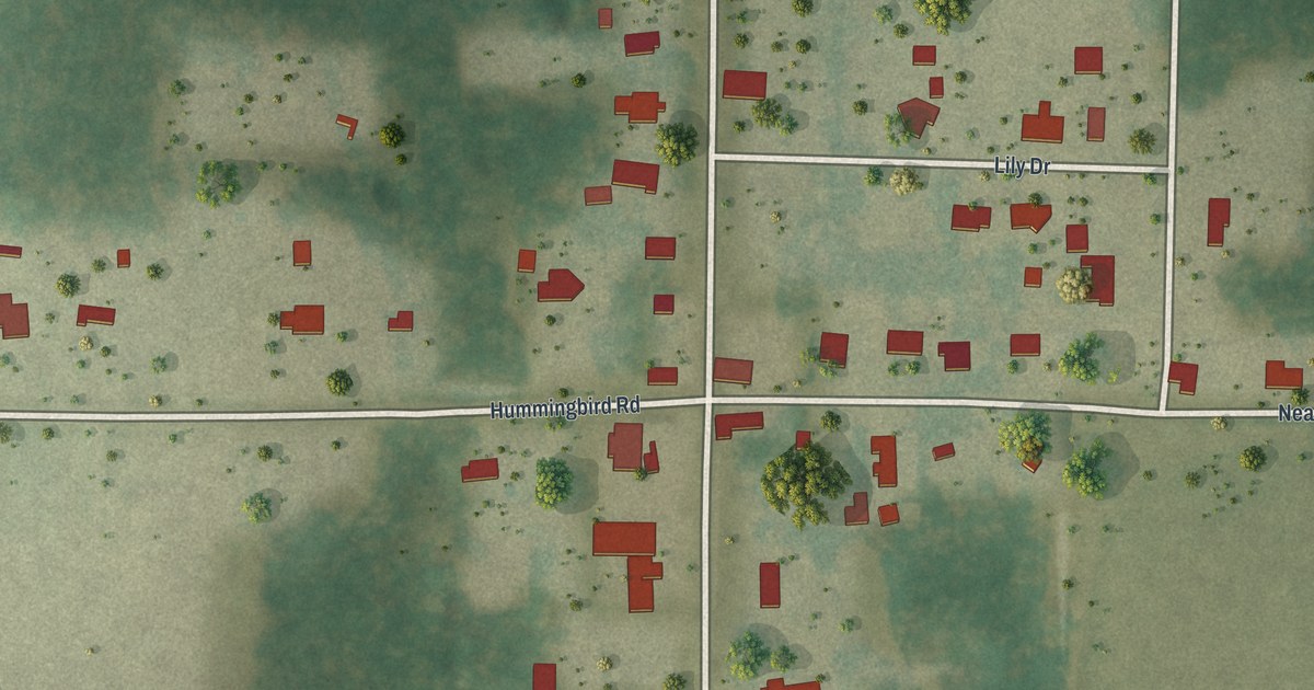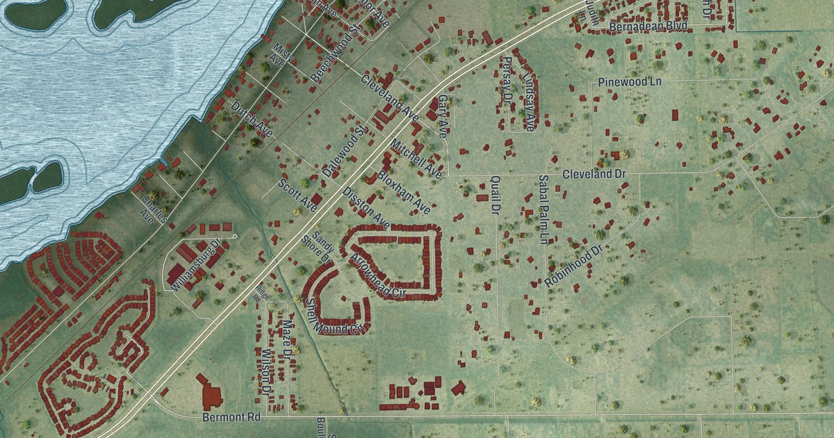
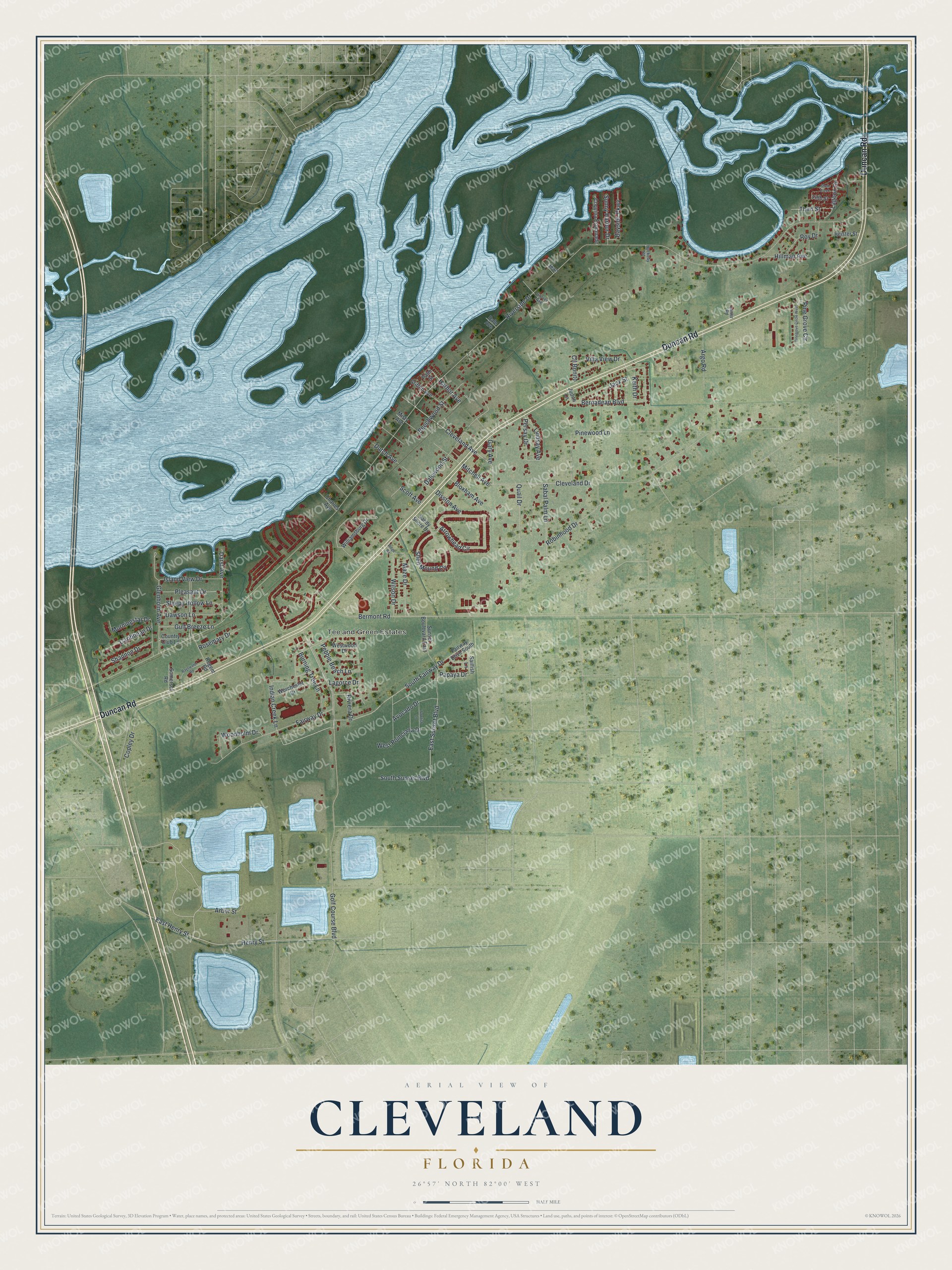
This beautifully detailed map of Cleveland, Florida was created in 2026 using aerial imagery combined with modern topographical, census, street and landmark data. It's a modern aerial view of Cleveland in Charlotte County, Florida, that combines modern data with a vintage aesthetic. The roads feature printed names, and if you look closely you can find your exact house accurately shown in its correct location.
Explore an aerial view of Cleveland, Florida
On this map you'll find Tee and Green Estates, Duncan Road, South Fairway Drive, Bermont Road, Cleveland Avenue, East Sunset Boulevard, Henry Street, Copley Drive, Harbor Avenue, Golf Course Boulevard, Sleepy Hollow Lane, Bernadean Boulevard, and more. Each red shape is a building, so zoom in on the preview and look for yours.
Cleveland has a story worth telling. Cleveland was named in 1886 for Grover Cleveland, who had been inaugurated as president for the first time the year before. The name came from Dr. A. T. Holleymon of Georgia, who had developed extensive property on the Peace River. That's from the Florida Place Names book by Allen Morris.
Cleveland is a community in Charlotte County. The Census Bureau counted 3,435 people here in 2020. Cleveland sits about 3 miles east of Solana, 3 miles south of Harbour Heights and 4 miles east of Charlotte Harbor. The map prints the town name in its title panel, with the coordinates below it.
Take a closer look at the Cleveland map
Names on this map
These names are printed on this map.
Places: Tee and Green Estates.
Streets and roads: Duncan Road, South Fairway Drive, Bermont Road, Cleveland Avenue, East Sunset Boulevard, Henry Street, Copley Drive, Harbor Avenue, Golf Course Boulevard, Sleepy Hollow Lane, Bernadean Boulevard, Riverside Drive.
More street names, A to Z
Arbor Street, Argo Road, Arrowhead Circle, Avocado Drive, Bayside Parkway, Bayswater Road, Beechwood Street, Bloxham Avenue, Burning Tree Lane, Caribbean Drive, Charles Avenue, Cleveland Drive, Cll Bonito, Coquina Esplanade, Country Club Lane, Dale Avenue, Dalewood Street, Darst Avenue, Dawson Lane, Disston Avenue, Dutch Avenue, East Henry Street, Fairway Drive, Fairway Drive South, Fifth Street, Gary Avenue, Glenholm Avenue, Griffith Avenue, Grover Avenue, Gulf Breeze Lane, Heister Street, Hillman Avenue, Huckeby Road, Indian Creek Lane, Island View Drive, Jack Street, Jean, Judith Lane, Keith Drive, Lagoon Drive, Lagorce Drive, Lanier Road, Lindsay Avenue, Maze Drive, Misty Avenue, Mitchell Avenue, Morningstar Drive, Palm Street, Papaya Drive, Pebble Beach Lane, Persay Drive, Pine Grove Circle, Pinegrove Circle West, Pinewood Lane, Pleasant Drive, Quail Drive, Regent Road, Ridge Road, Riviera Drive, Robinhood Drive, Rosemary Drive, Roy Drive, Sabal Palm Lane, Sailfish Lane, Sandy Shore Drive, Sawfish Lane, Scott Avenue, Shannon Drive, Shell Creek, Shell Mound Circle, Somerset Road, South Sunset Boulevard, Sunny Harbor Drive, Sunset Boulevard East, Third Street, Villa View Drive, West Poinciana Drive, Westwood Drive, Williamsburg Drive, Wilson Drive, Woodholm Drive, Worchester Drive.
See it on a wall
The Cleveland map as a framed print. Swipe for more.


Created by KNOWOL in 2026. The buildings are small red shapes, the roads carry their printed names, and shaded relief shows the shape of the land. The title panel reads "AERIAL VIEW OF CLEVELAND, FLORIDA" with 26°57' NORTH 82°00' WEST.
It looks right in a kitchen, an office or a den, and it's a gift for anyone who grew up in Cleveland or moved away. Open the preview and find your street. See sizes and frames for the Cleveland map.