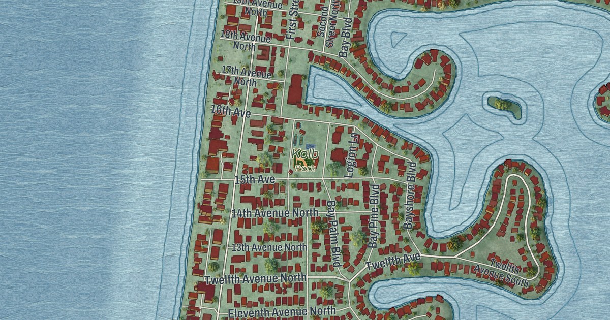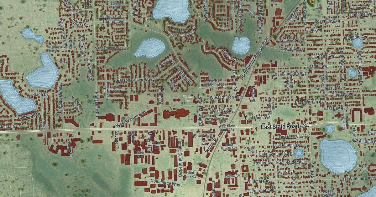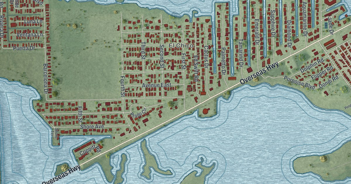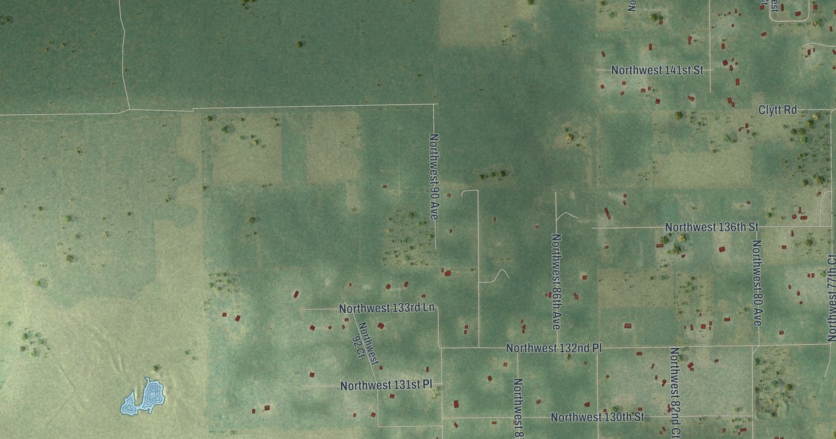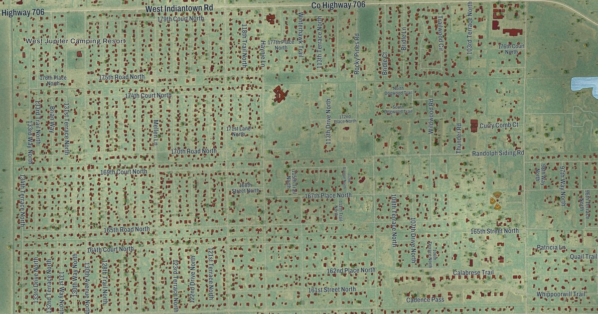
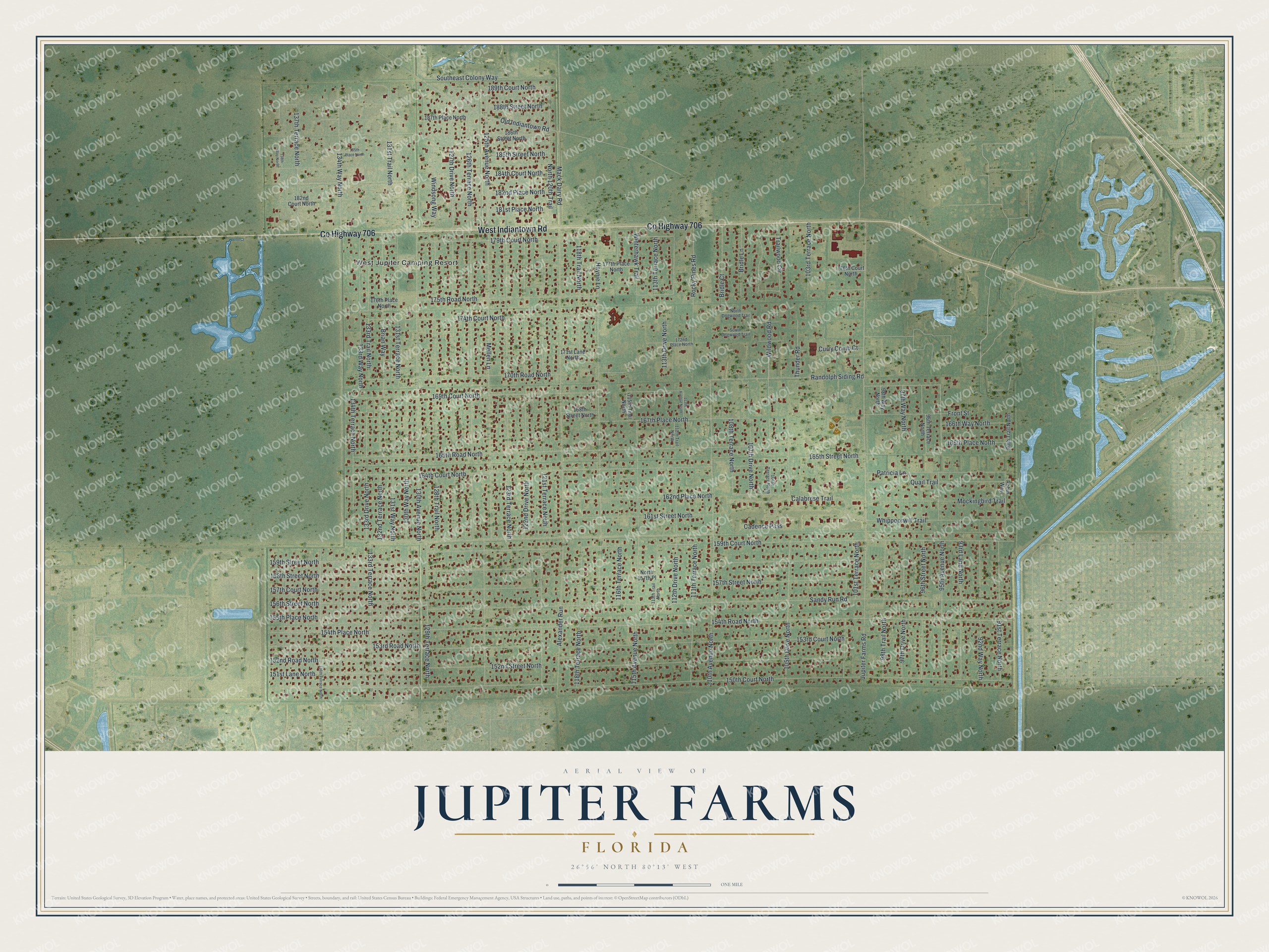
This beautifully detailed map of Jupiter Farms, Florida was created in 2026 using aerial imagery combined with modern topographical, census, street and landmark data. It's a modern aerial view of Jupiter Farms in Palm Beach County, Florida, that combines modern data with a vintage aesthetic. The roads feature printed names, and if you look closely you can find your exact house accurately shown in its correct location.
Explore an aerial view of Jupiter Farms, Florida
On this map you'll find West Jupiter Camping Resort, Co Highway 706, West Indiantown Road, 154th Road North, 159th Court North, 165th Place North, 95th Avenue North, Wildwood Road, 162nd Place North, Calabrese Trail, Mack Dairy Road, 189th Court North, and more. Each red shape is a building, so zoom in on the preview and look for yours.
Here is a piece of Jupiter Farms history. Jupiter Farms began in 1923, when the South Indian River Farming group created a drainage district and dug canals for farms growing cucumbers, tomatoes and peppers. Farming thrived until the early 1960s. The first houses went up in the late 1960s, and Mellen and Haynie Lanes, the first roads, were named for the first residents. Archaeologists later found artifacts suggesting that Seminoles lived in the area as late as the 1870s, long after historians believed they had left for good. That's from the Palm Beach County Planning Division.
Jupiter Farms is a community in Palm Beach County. The Census Bureau counted 12,572 people here in 2020.
Take a closer look at the Jupiter Farms map
Names on this map
These names are printed on this map.
Places: West Jupiter Camping Resort.
Streets and roads: County Highway 706, West Indiantown Road, 154th Road North, 159th Court North, 165th Place North, 113th Drive North, 95th Avenue North, Wildwood Road, 162nd Place North, Calabrese Trail, Mack Dairy Road, 189th Court North.
More street names, A to Z
90th Trail North, 91st Terrace North, 92nd Way North, 93rd Lane North, 96th Street North, 96th Terrace North, 97th Drive North, 97th Way North, 98th Trail North, 98th Way North, 101st Terrace North, 103rd Terrace North, 105th Drive North, 106th Terrace North, 107th Drive North, 108th Terrace North, 110th Avenue North, 111th Terrace North, 112th Avenue North, 112th Drive North, 112th Trail North, 113th Terrace North, 113th Trail North, 115th Avenue North, 115th Trail North, 116th Terrace North, 118th Terrace North, 118th Trail North, 121st Terrace North, 122nd Drive North, 123rd Terrace North, 125th Avenue North, 126th Terrace North, 127th Drive North, 128th Trail North, 129th Terrace North, 130th Avenue North, 130th Way North, 131st Terrace North, 131st Trail North, 131st Way North, 132nd Terrace North, 133rd Drive North, 133rd Terrace North, 133rd Trail North, 133rd Way North, 134th Terrace North, 134th Way North, 136th Terrace North, 137th Terrace North, 138th Way North, 150th Court North, 151st Lane North, 152nd Road North, 152nd Street North, 153rd Court North, 153rd Road North, 154th Place North, 155th Place North, 156th Street North, 157th Court North, 157th Street North, 158th Street North, 159th Street North, 161st Street North, 164th Court North, 165th Road North, 165th Street North, 166th Way North, 167th Place North, 168th Street North, 169th Court North, 170th Road North, 171st Lane North, 172nd Place North, 174th Court North, 175th Road North, 176th Court North, 176th Place North, 177th Place North, 179th Court North, 181st Place North, 182nd Court North, 182nd Place North, 184th Court North, 185th Place North, 185th Street North, 186th Street North, 187th Place North, 188th Street North, Alexander Run, Brian Way, Bridle Court, Bridle Lane, Cadence Pass, Curry Comb Court, Front Street, Haynie Lane, Jupiter Farms Road, Mellen Lane, Mockingbird Trail, North 120th Trail, North 157th Place, North Dogwood Trail, Old Indiantown Road, Patricia Lane, Quail Trail, Randolph Siding Road, Robin Way, Rocky Pines Road, Sandy Run Road, South Dogwood Trail, Southeast Colony Way, Thunder Road, Trailwood Circle, Whippoorwill Trail, Windsong Way, Winterhawk Trail.
See it on a wall
The Jupiter Farms map as a framed print. Swipe for more.


Created by KNOWOL in 2026. The buildings are small red shapes, the roads carry their printed names, and shaded relief shows the shape of the land. The title panel reads "AERIAL VIEW OF JUPITER FARMS, FLORIDA" with 26°56' NORTH 80°13' WEST.
It suits a den, a classroom or a front hall, and it makes a gift for anyone with Jupiter Farms roots. Open the preview and find the block you know. See sizes and frames for the Jupiter Farms map.