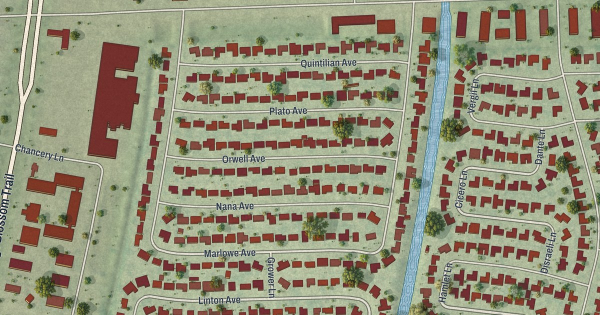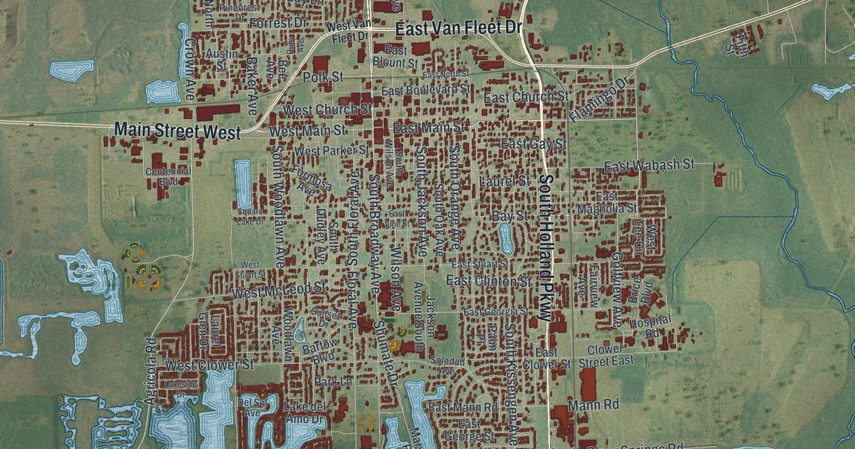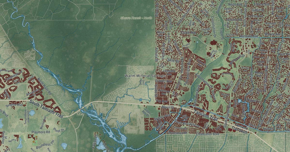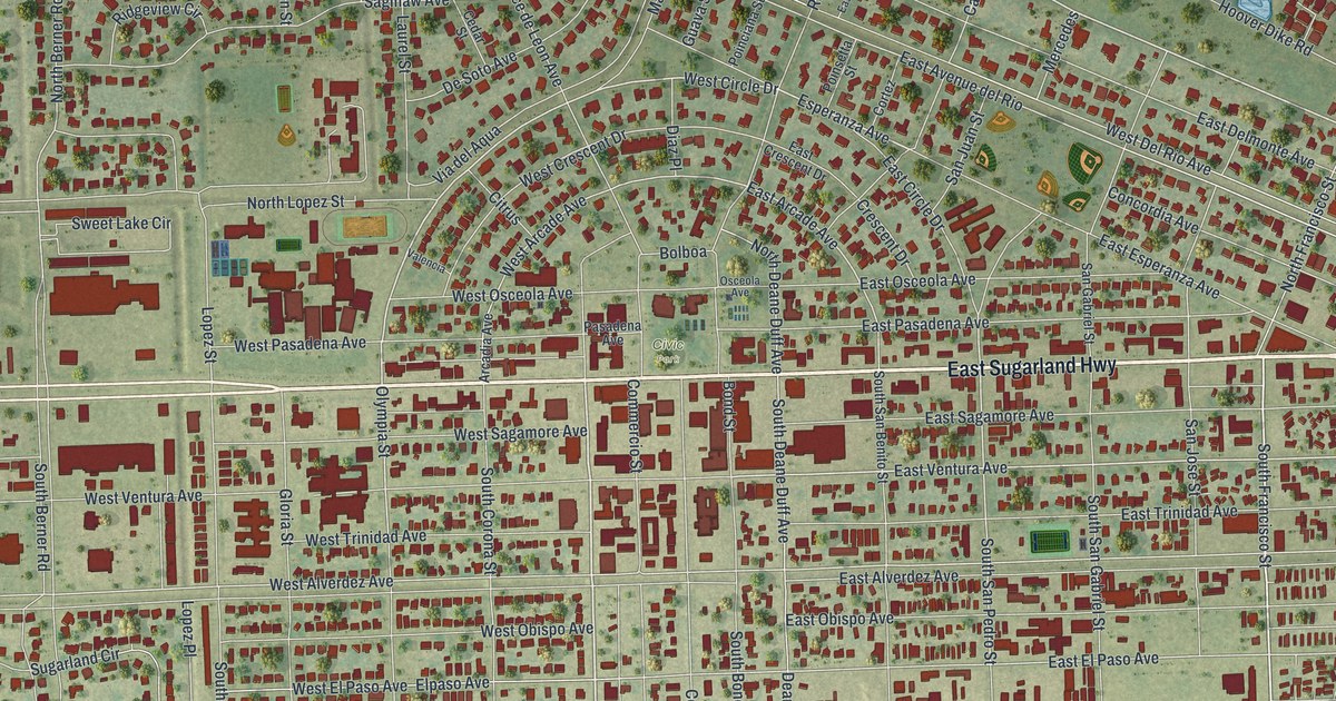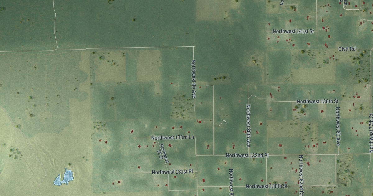
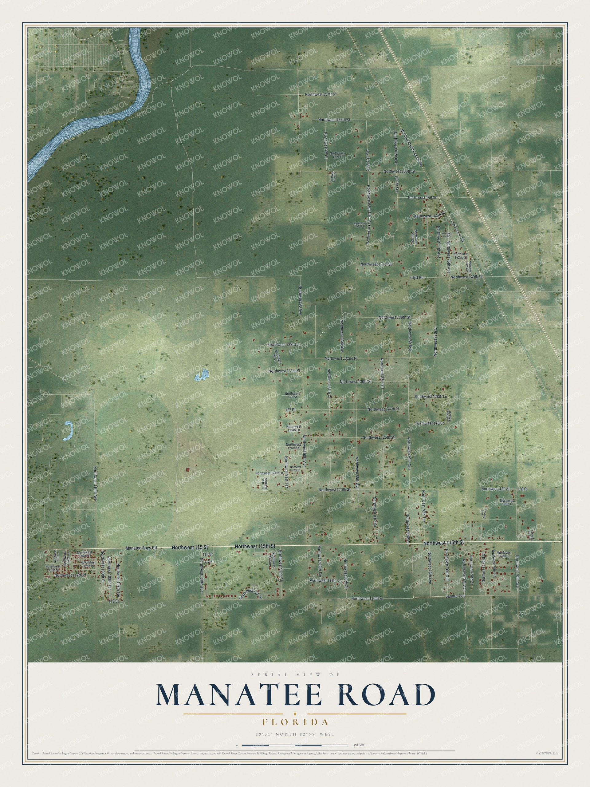
This beautifully detailed map of Manatee Road, Florida was created in 2026 using aerial imagery combined with modern topographical, census, street and landmark data. It's a modern aerial view of Manatee Road in Levy County, Florida, that combines modern data with a vintage aesthetic. The roads feature printed names, and if you look closely you can find your exact house accurately shown in its correct location.
Explore an aerial view of Manatee Road, Florida
On this map you'll find Northwest 115th Street, Northwest 115 Street, Northwest 75th Avenue, Northwest 110th Street, Old Fannin Road, Northwest 140th Street, Northwest 74th Court, Northwest 73rd Court, Northwest 100th Avenue, 120 Street, Northwest 126 Street, Northwest 146 Street, and more. Each red shape is a building, so zoom in on the preview and look for yours.
Manatee Road is a community in Levy County. The Census Bureau counted 2,484 people here in 2020. Manatee Road sits about 3 miles southwest of Andrews, 4 miles northwest of Chiefland and 5 miles south of Fanning Springs. The map prints the town name in its title panel, with the coordinates below it.
Take a closer look at the Manatee Road map
Names on this map
These names are printed on this map.
Streets and roads: Northwest 115th Street, Northwest 115 Street, Northwest 75th Avenue, Northwest 110th Street, Old Fannin Road, Northwest 140th Street, Northwest 74th Court, Northwest 73rd Court, Northwest 100th Avenue, 120 Street, Northwest 126 Street, Northwest 146 Street.
More street names, A to Z
10 Trlr Sue, 110 Street, 113 Place, 114 Street, 127 Place, Clytt Road, Manatee Spgs Road, Northwest 68th Terrace, Northwest 70th Avenue, Northwest 70th Circle, North West 74 Court, Northwest 74th Avenue, Northwest 76th Avenue, Northwest 76th Terrace, Northwest 77th Avenue, Northwest 77th Court, Northwest 78th Avenue, Northwest 78th Terrace, Northwest 79th Court, Northwest 80 Avenue, Northwest 80th Avenue, Northwest 80th Court, Northwest 81st Avenue, Northwest 82nd Court, Northwest 83 Terrace, Northwest 83rd Court, Northwest 83rd Terrace, Northwest 85th Avenue, Northwest 86th Avenue, Northwest 86th Court, Northwest 86th Terrace, Northwest 87 Court, Northwest 87th Court, Northwest 88th Terrace, Northwest 90 Avenue, Northwest 90th Avenue, Northwest 91st Terrace, Northwest 92 Court, Northwest 92nd Court, Northwest 93 Avenue, Northwest 93rd Terrace, Northwest 107th Terrace, Northwest 108th Terrace, Northwest 109th Court, Northwest 110 Circle, Northwest 110th Avenue, Northwest 111th Lane, Northwest 112th Place, Northwest 112th Terrace, Northwest 113 Terrace, Northwest 113th Lane, Northwest 113th Place, Northwest 113th Street, Northwest 114th Place, Northwest 118th Lane, Northwest 120 Street, Northwest 120th Street, Northwest 121st Lane, Northwest 122nd Street, Northwest 124th Street, Northwest 125th Lane, Northwest 125th Street, Northwest 126th Street, Northwest 127th Place, Northwest 128th Lane, Northwest 129 Street, Northwest 130th Street, Northwest 131st Place, Northwest 132nd Place, Northwest 133rd Lane, Northwest 136th Street, Northwest 141st Street, Northwest 142nd Street, Northwest 144th Street, Northwest 145th Street, Northwest 146th Street, Northwest 150th Street, Northwest 152 Place, Northwest 155th Street, Northwest 157th Place, Northwest Old Fannin Road, Sandra Avenue.
See it on a wall
The Manatee Road map as a framed print. Swipe for more.


Created by KNOWOL in 2026. The buildings are small red shapes, the roads carry their printed names, and shaded relief shows the shape of the land. The title panel reads "AERIAL VIEW OF MANATEE ROAD, FLORIDA" with 29°31' NORTH 82°55' WEST.
It looks right in a kitchen, an office or a den, and it's a gift for anyone who grew up in Manatee Road or moved away. Open the preview and find your street. See sizes and frames for the Manatee Road map.